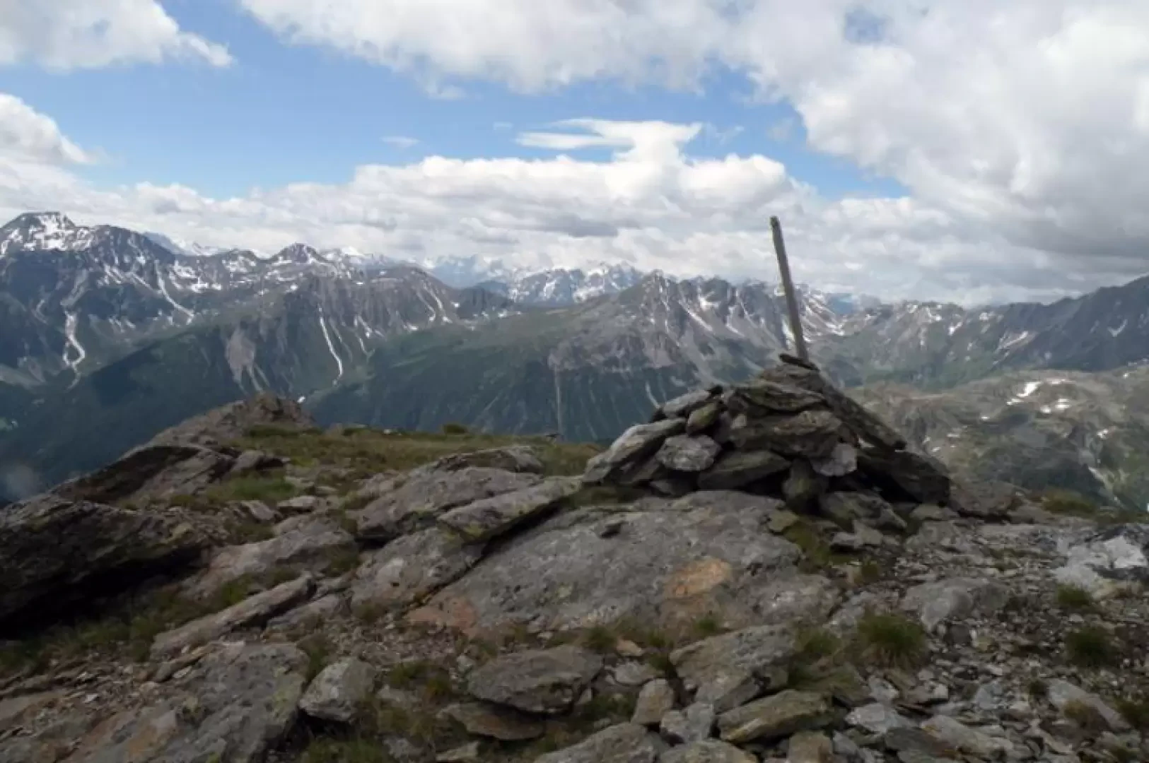
Tête de Barasson, from Eternon dessus

Access
You drive along the [A5] motorway and exit at the Aosta est exit. Follow the signs for the Gran San Bernardo tunnel and, having passed the hamlet of Etroubles, you will find on the right a turnoff for the hamlet of Eternon; you will rise on the road with several hairpin bends and, having left out the turnoff for Eternon dessous, you will continue for a short distance until the small village of Eternon dessus. Here you can continue on a dirt track to the right signposted "Plan Puitz - Barasson", where at a fork in the road after a hairpin bend you will find a no-trespassing sign and where you can leave your car in the convenient adjacent widening.
Description
From the crossroads we take the farm track which climbs to the left and after a few hundred metres we find the first fork with a farm track which we leave to the left (1765m) and then after a couple of hairpin bends another fork (1816m) at which we continue straight on leaving the other farm track to the right. Still walking along the dirt track, we soon reach the alpine pastureland of Barasson (1868m) where, to the right of the ruined building, there are a few signposts, none of which indicate our itinerary; from this point, we turn decisively to the right, heading towards the valley and following a few faded yellow markings. The path enters the valley remaining close to the stream and continues almost without slope, and just after a fork (1937m) with a track that branches off to the left, it passes a ruin just beyond the stream. Now, moving a little away from the stream, go up a slightly sloping grassy slope to reach the ruins of the Crétoux alpine pasture (2024m), from where a mule track starts, which we ignore, to continue to its right and descend a little to cross the stream at its best point. Having passed on the orographic left side of the valley, you almost immediately come to a fork with another path (2101m), which you leave to the right and continue, with the slope increasing considerably, to climb a steep grassy slope; At the end of this, you turn left and, after having passed a stretch of path that is a bit of a landslide, you enter a terrain with little slope scattered with stones where, at its beginning, there is a ruin on the left (2397m) and where you continue on the track that at times disappears in the little grass and you must follow the few cairns of stones placed on the path. When you arrive in a flat basin, you will see a large isolated boulder with a yellow arrow indicating that you should continue slightly to the right to climb up a very steep section of boulders and somewhat crumbly ground in narrow hairpin bends to reach the eastern col of Barasson (2680m), where you will find a small stone cairn. From this point, follow the ridge to the left, at first over clumps of grass and stones, then go round a low rocky ridge on the left, using your hands to climb up some large stones, and finally, on somewhat friable ground and rocks that are a little smooth near the summit, reach the wide summit on which there is a small stone cairn.
.