Tête d'Arietta, from Lillaz

Edited by:
Giancarlo Beretta
Updated at: 29/05/2026
Access
At the motorway junction of Aosta West, turn right and take the regional road for the Cogne valley. Drive through the village of Aymavilles and, after 1.3 kilometres, take the second exit at the roundabout. Go up the regional road for 19 kilometres, passing the villages of Vieyes, Epinel and Crétaz, until you reach a roundabout: take the second exit, following the signs for Lillaz. Continue on the communal road for about one kilometre until you reach another roundabout; continue straight on for another 1.8 kilometres until you reach the large free car park 🅿️ in Lillaz.
[0h32'] - [24.0km]
How to get there with GMAPS
How to get there with Apple Maps
The directions provided have been carefully checked at the time of the route survey. However, it is highly recommended to check for any changes that may have occurred since then, especially regarding the route to the starting point. Before embarking on your journey, it is advisable to consult up-to-date navigation tools for accurate and up-to-date directions. We recommend the use of satellite navigation apps, such as Google Maps or Apple Maps, to ensure the most accurate and safe route.
Introduction
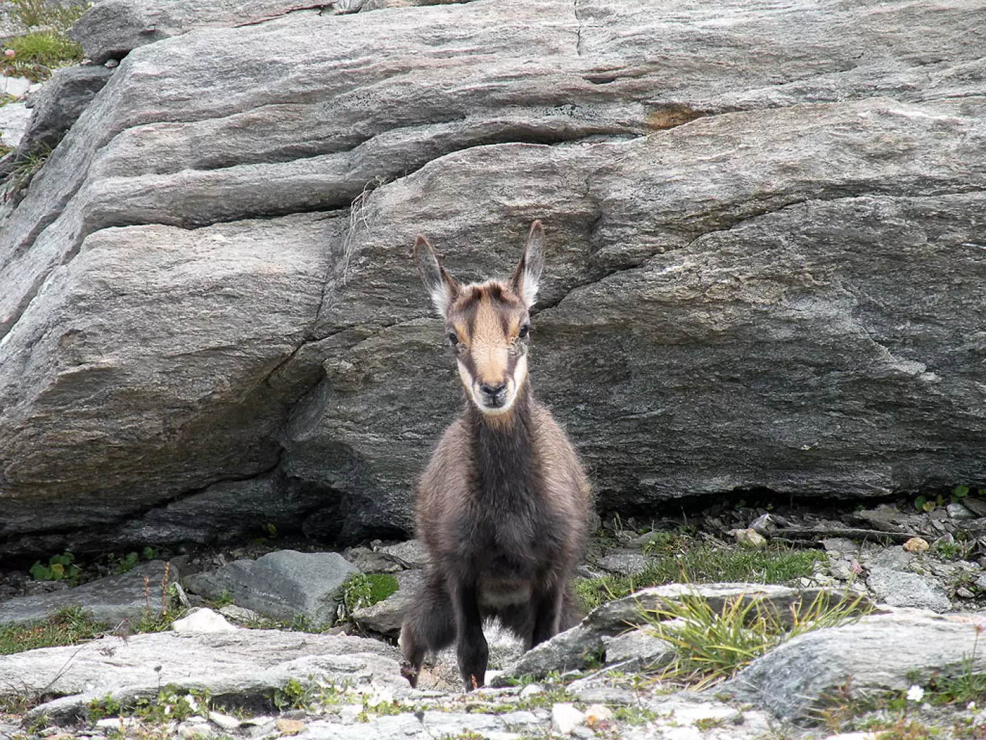
The summit is located between the Tête de la Nouva and Punta Miserino at the head of the Nouva valley on the border between the Aosta valley and Piedmont. This climb, once we leave the busy Urtier valley, reveals remote corners with severe and solitary environments: easy up to the moraine zone and demanding beyond. The few snowfields in the upper part of the valley are nothing more than the remnants of an old glacier that is now almost non-existent. The view from the summit allows one to admire the Campiglia area to the south and the peaks of the eastern part of the Gran Paradiso Park to the north, with the nearby Tour Ponton and Tersiva. In the high-altitude meadows, it is also easy to see some marmots running on the grass and some chamois grazing freely.
Description
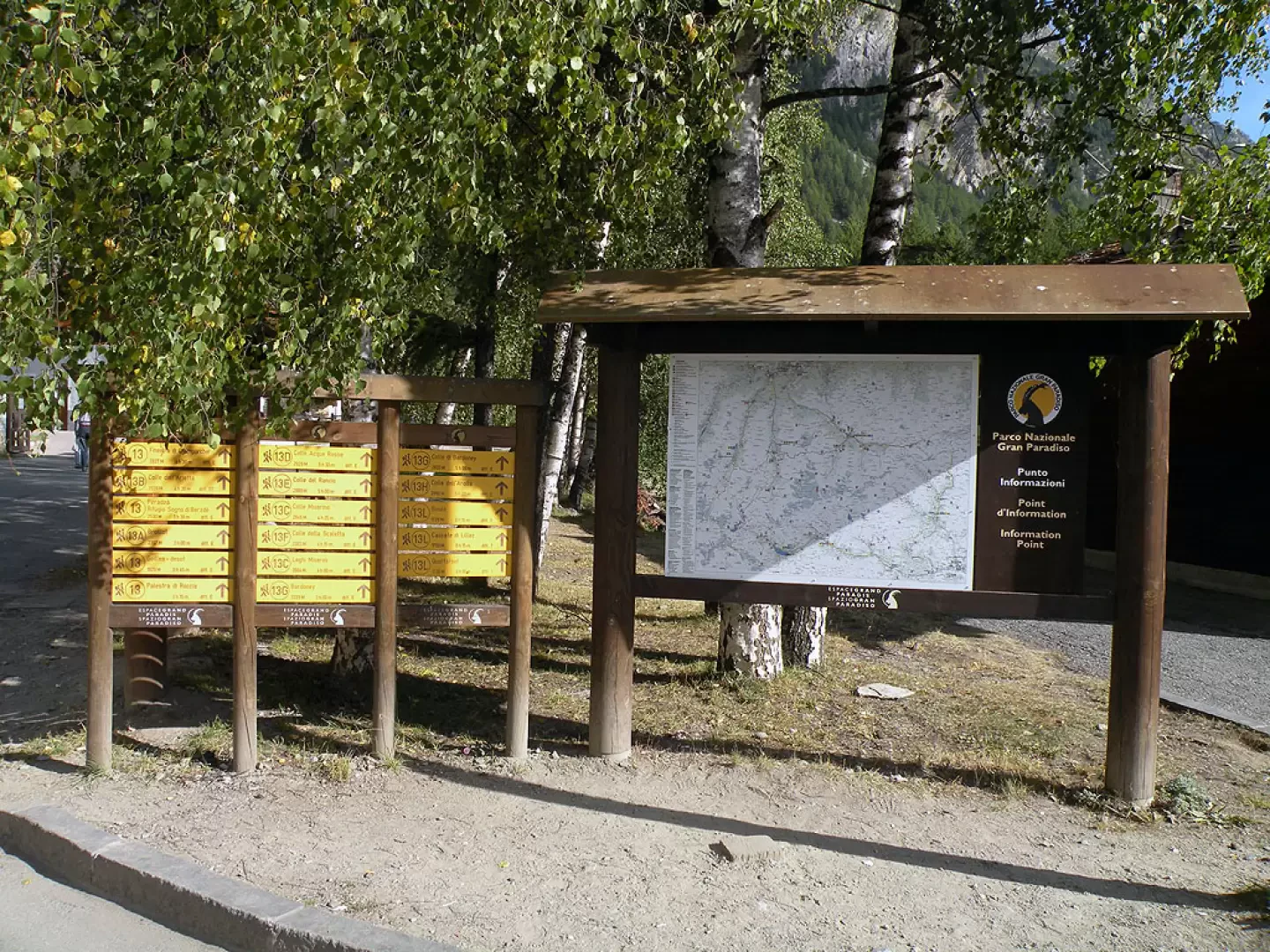
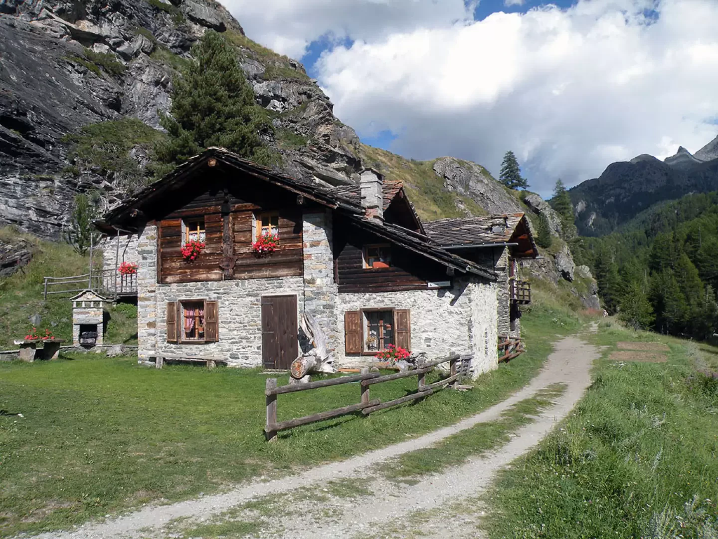
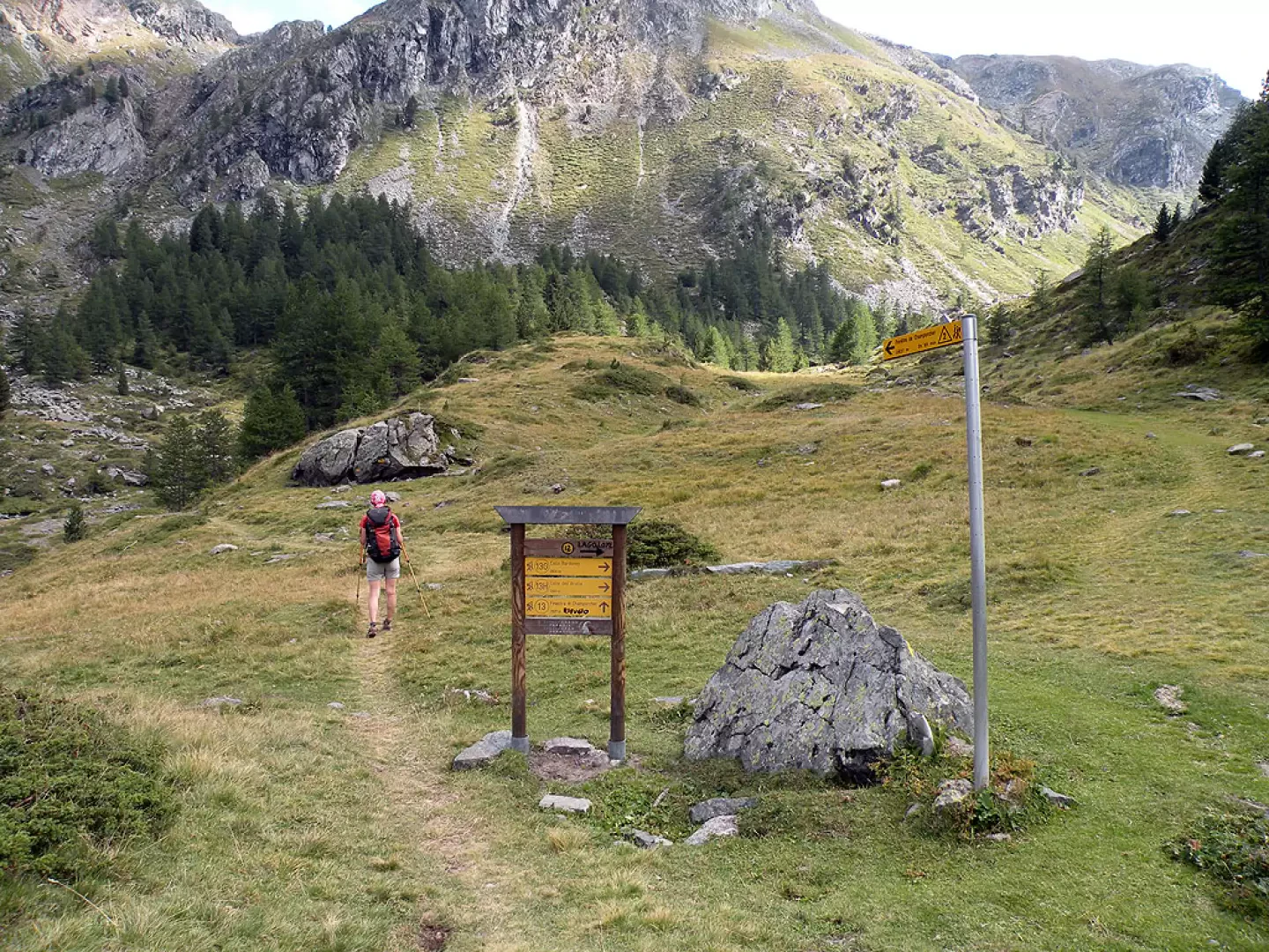
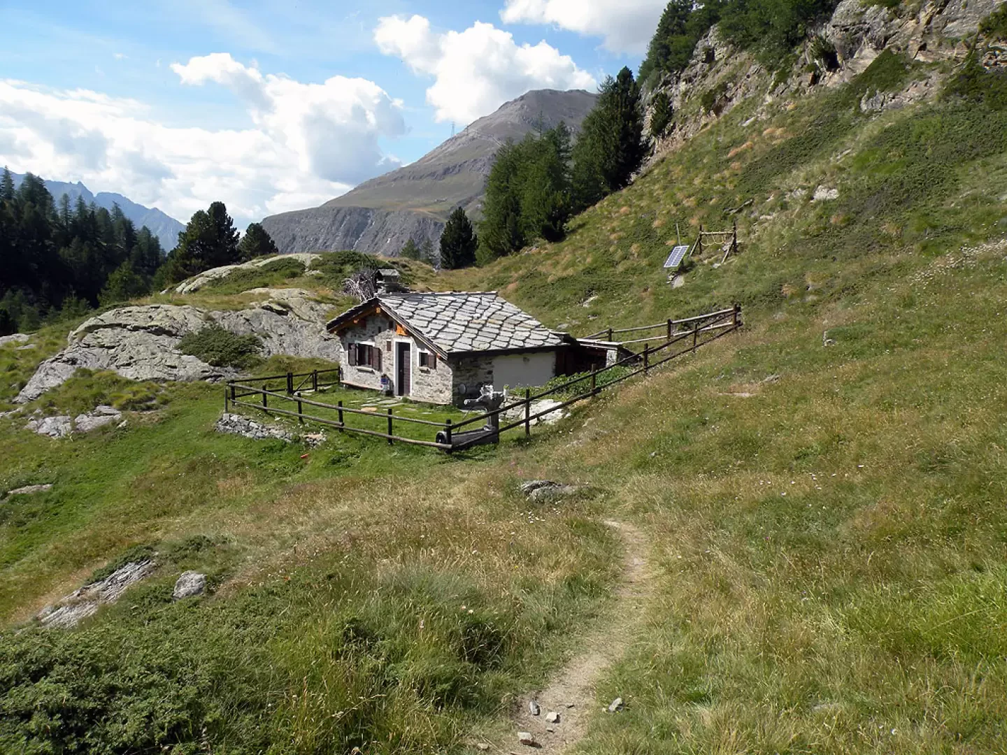
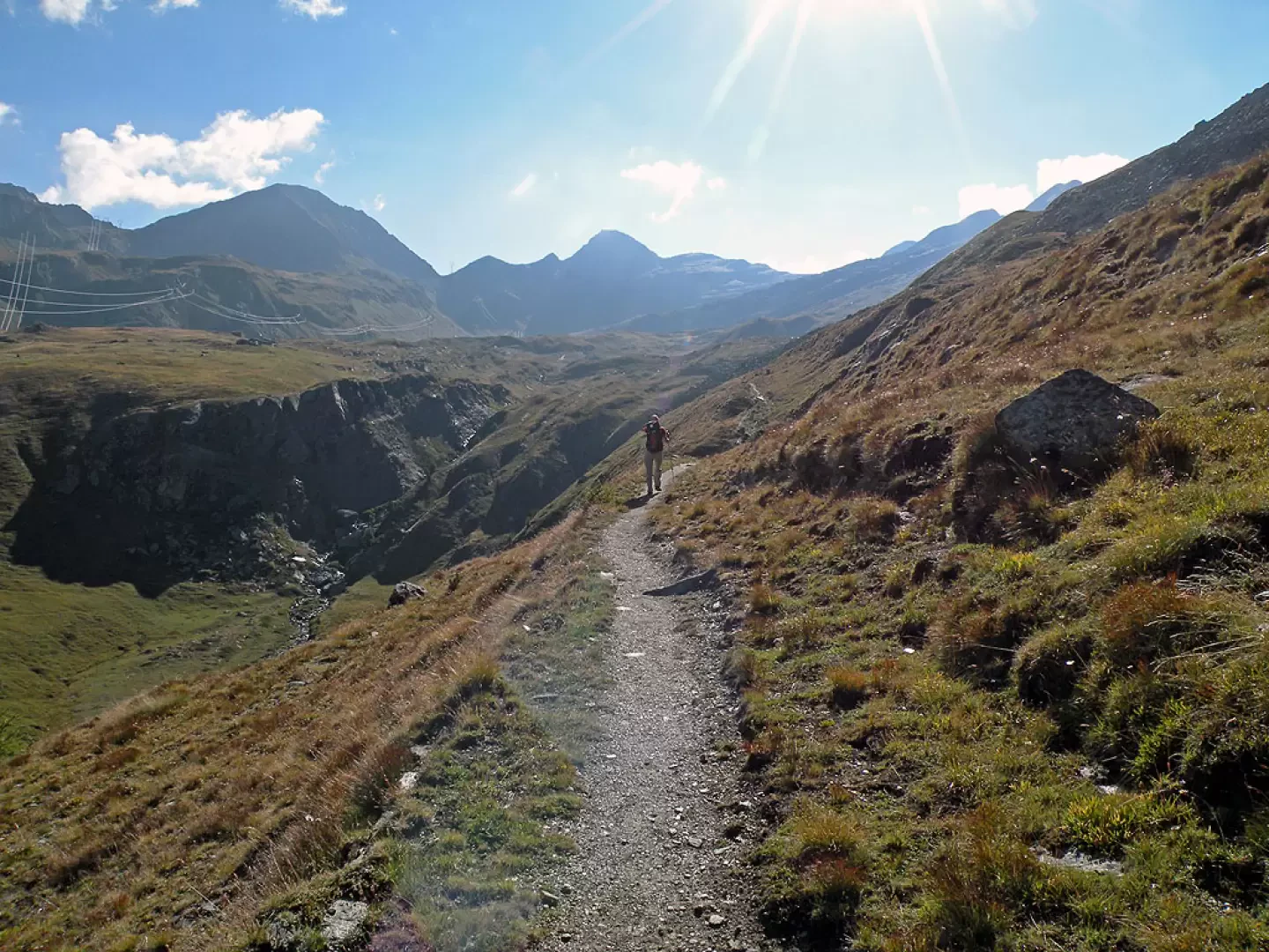
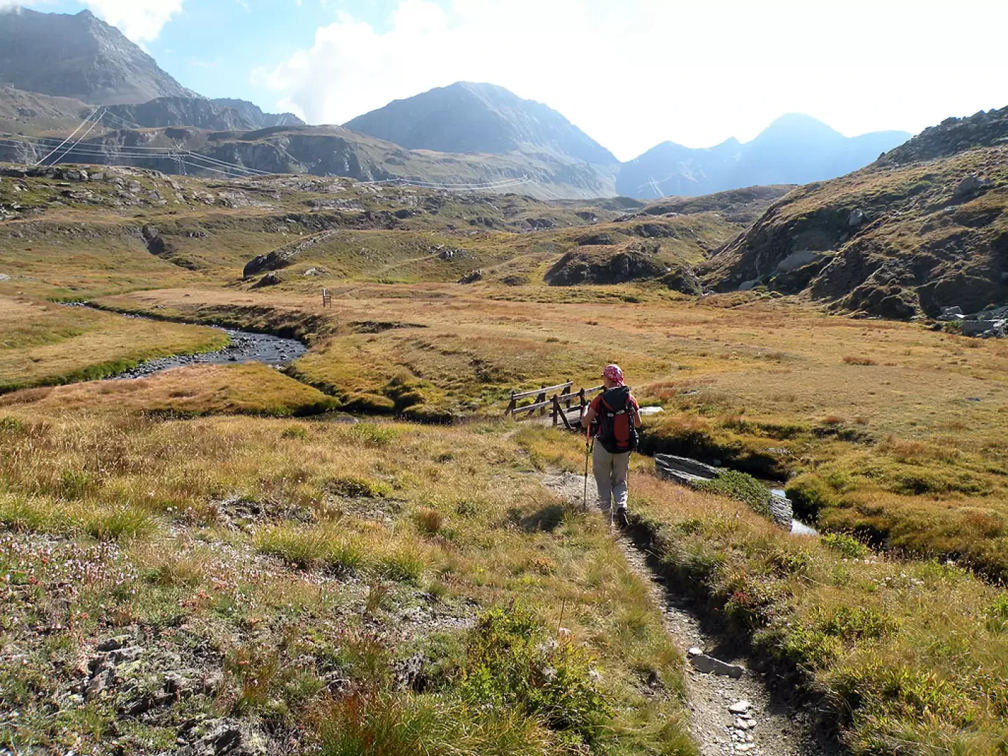
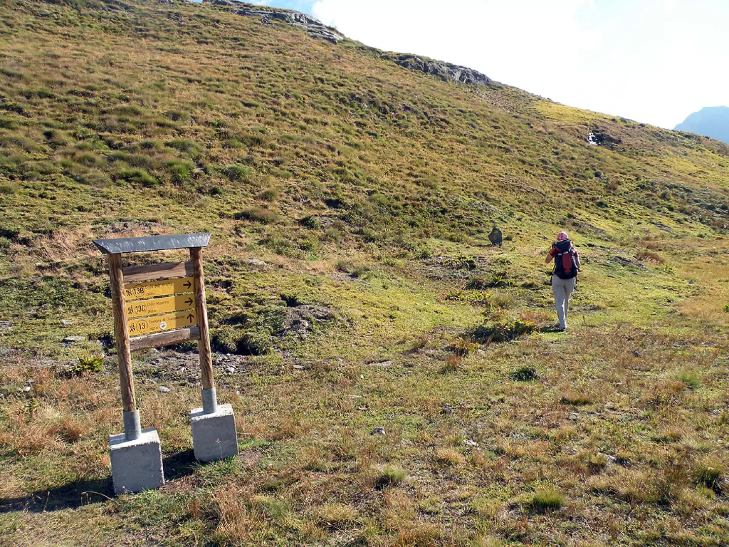
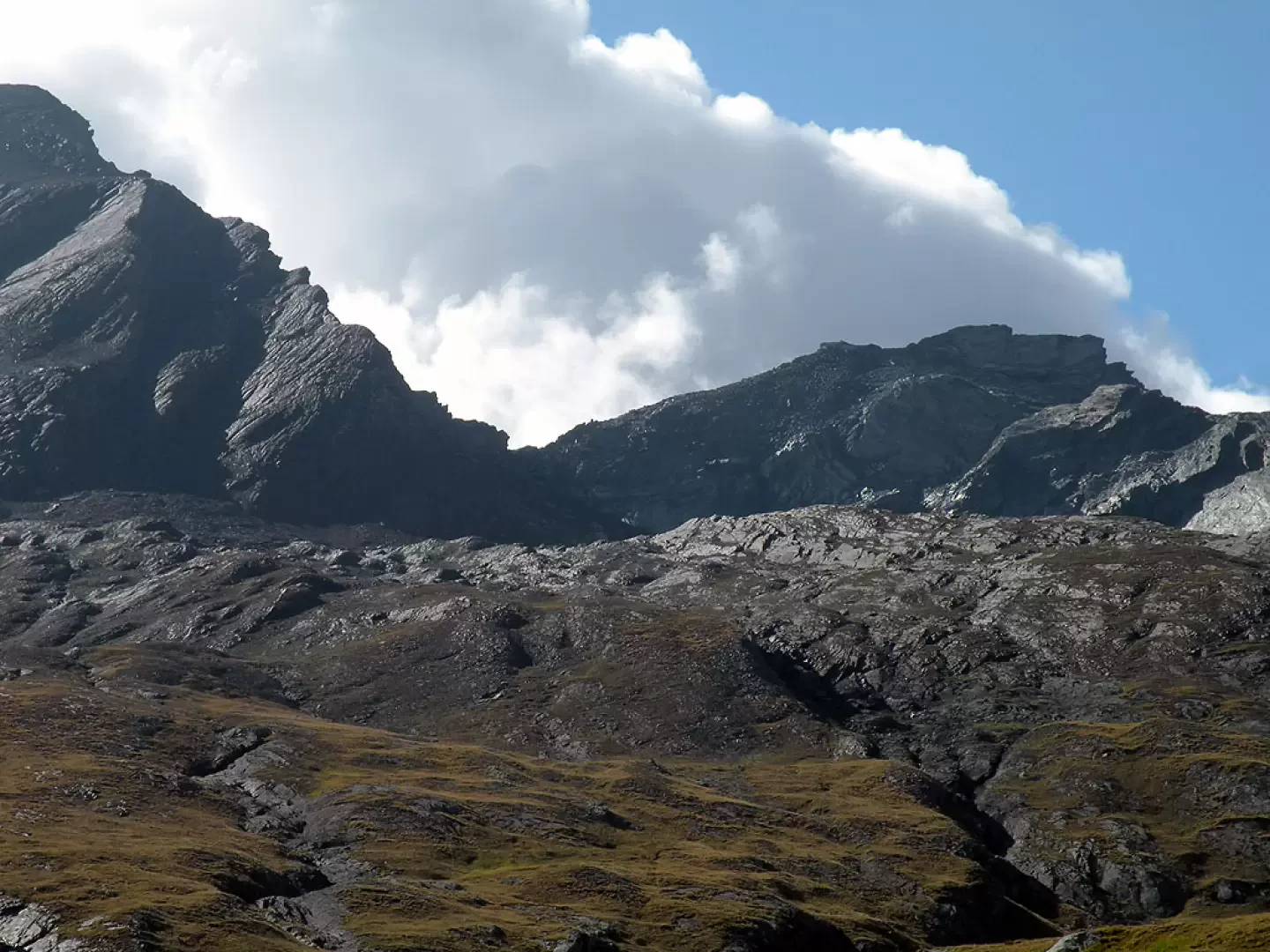
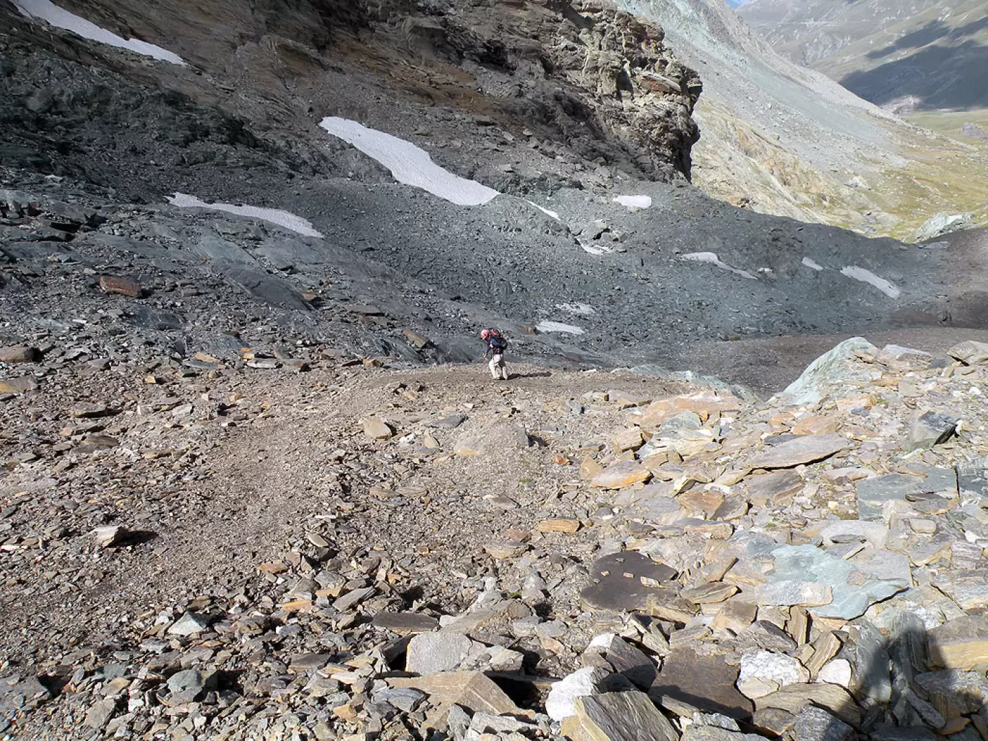
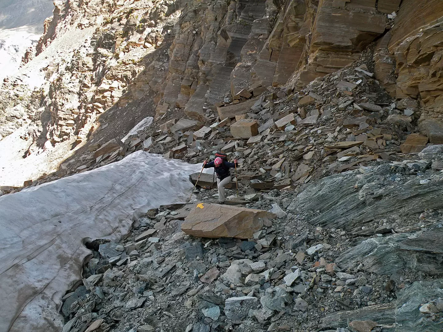
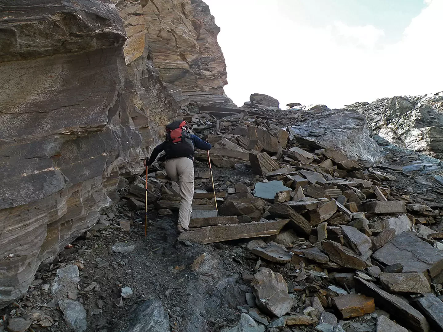
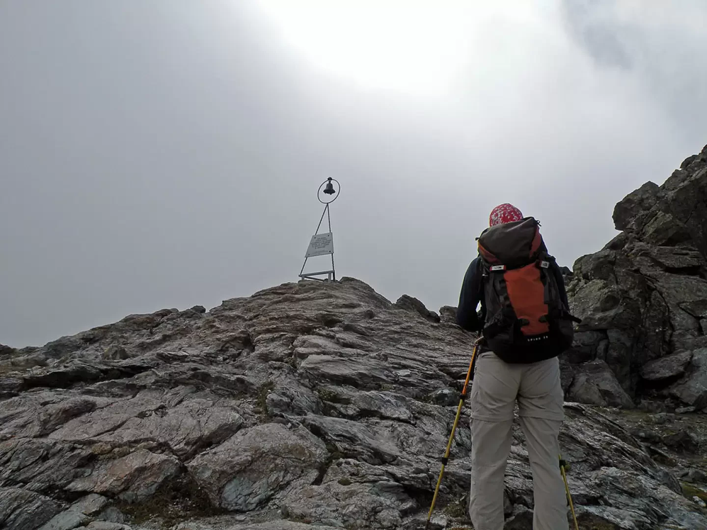
From the car park, head towards the large tourist board and the numerous route markers and continue along the road to the left until you come to a house with a stone staircase nearby and the route markers. Having climbed the steps, continue along the easy path, ignoring the detours to the waterfalls and the rock climbing wall, that skirts a small asphalt road and heads towards the top of an obvious water conduit. After this uphill stretch, continue, without gaining altitude, with a few ups and downs to pass by a little votive chapel and, a little further on, passing by a little wall, cross the green pastures below the Goilles dessus mountain pasture, which just precede Goilles desot. Walk a little further on level ground until you come to a small dam, where you cross the Urtier stream on a bridge and climb up the rhododendron and conifer forest without too much slope to an altitude of 2,150 m, where there is a fork: leave the path to Bardoney on the right and walk slightly downhill to cross a couple of small streams and climb up the opposite slope where the Teppe Lunghe N.G.P. hut is located (2,105 m). After skirting the grassy promontory on a slight incline with the forest now thinning out, we begin a long traverse halfway up towards the east that takes us into the green Urtier valley, where at its head we can see the wide depression of the Finestra di Champorcher. Two detours on the right are encountered, which are omitted in order to continue straight ahead and, after crossing a little stream, the next diversions on the left to the Broillot alpine pasture is also passed. Walking along the path, which makes a few ups and downs to cross some grassy bumps, we arrive at the fork that finally allows us, by turning right, to approach our destination. Now the path continues, always well signposted, rising with wide bends that at times follow the route of an old hunting road and, with hairpin bends always without excessive gradient, we enter the valley, seeing at the bottom of it the narrow notch of the Col dell'Arietta with the summit, the destination of this excursion, on the right. After having passed and left another path to the right, we walk to the end of the grassy terrain and where the stretch of moraines and scree begins; the track makes a traverse halfway up the slope to skirt a first moraine barrier of stones and somewhat slippery loam and then head directly towards the pass. With hairpin bends that become steeper and steeper, you approach, following some yellow markers and stone cairns, the overhanging rocky rampart on the left (going up), where there may be some snowfields even in the late season; the track, now very steep and slippery, skirts the base of the rampart and after a last climb you reach the Arietta pass where, in addition to the classic plaque, you will find a tripod with a bell and a plaque in honour of San Besso.
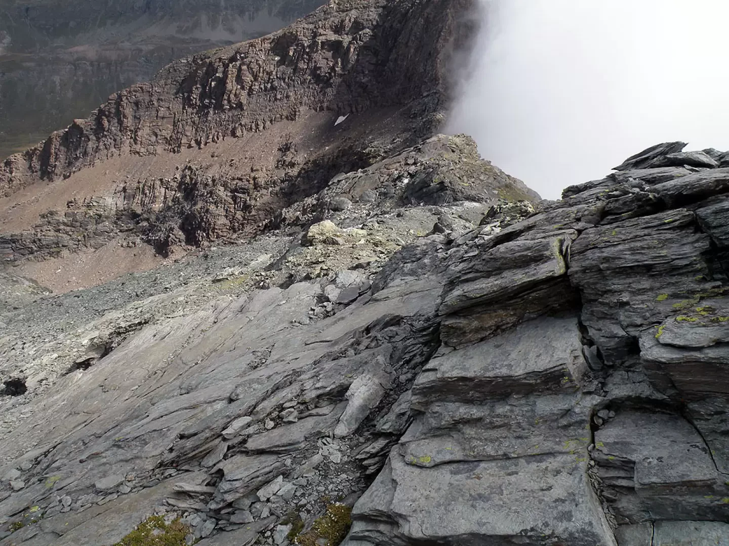
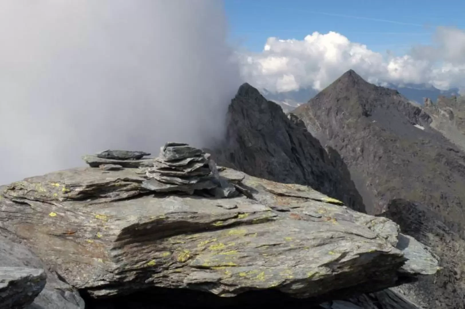
From the pass, a small track starts to the right, which soon disappears, and you follow, on more or less stable boulders, the first short thin stretch of ridge that reaches a little stone cairn on the summit. Continue along the ridge, now wider, always climbing on broken rocks and large boulders, mainly on the Valdostan side; you arrive above a small collar of fine detritus just below the summit, which is reached after having passed some sloping rocky slabs (be careful if wet). There is a small stone cairn on the narrow summit.
Notes
When you reach the gully, you can see some faded yellow marks and stone cairns on the boulders in the centre of the gully, but it is not advisable to follow these because they lead just below the vertical of the col where there are very steep scree slopes and where there is also the danger of falling stones.
Galleria fotografica