Rocca di Perti - 'Purchin' trail
Access
You exit Finale Ligure or Feglino (anomalous because it only works in the direction of Genoa) from the motorway, and descend towards Finalborgo not far away.
Introduction
Today's tour is not particularly difficult, but just a little complicated, because of the many possible and recommendable variants... The main path is called 'Purchin', after the local name for the 'Porcellino di Terra', a small crustacean, a name later adopted by the first group of climbers from Finale...
Description
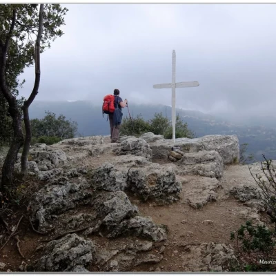
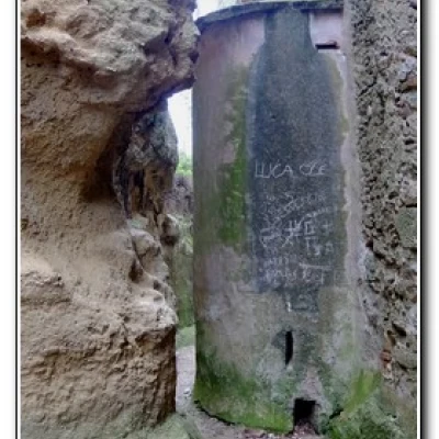
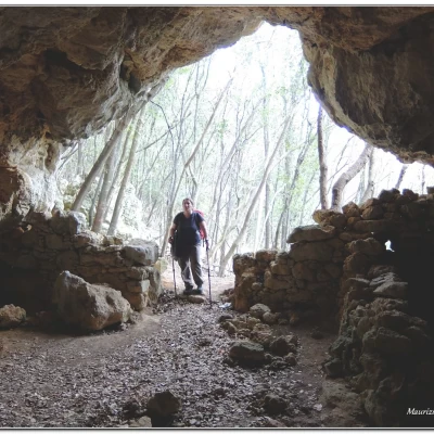
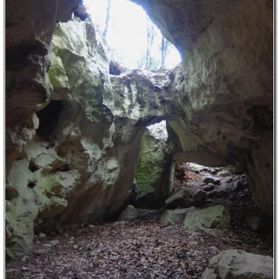
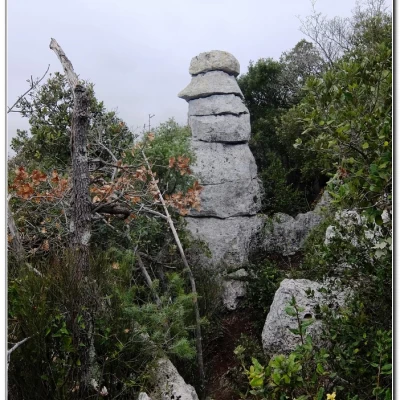
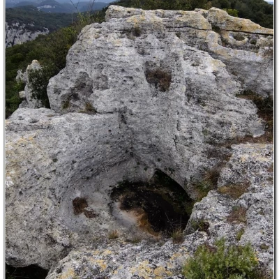
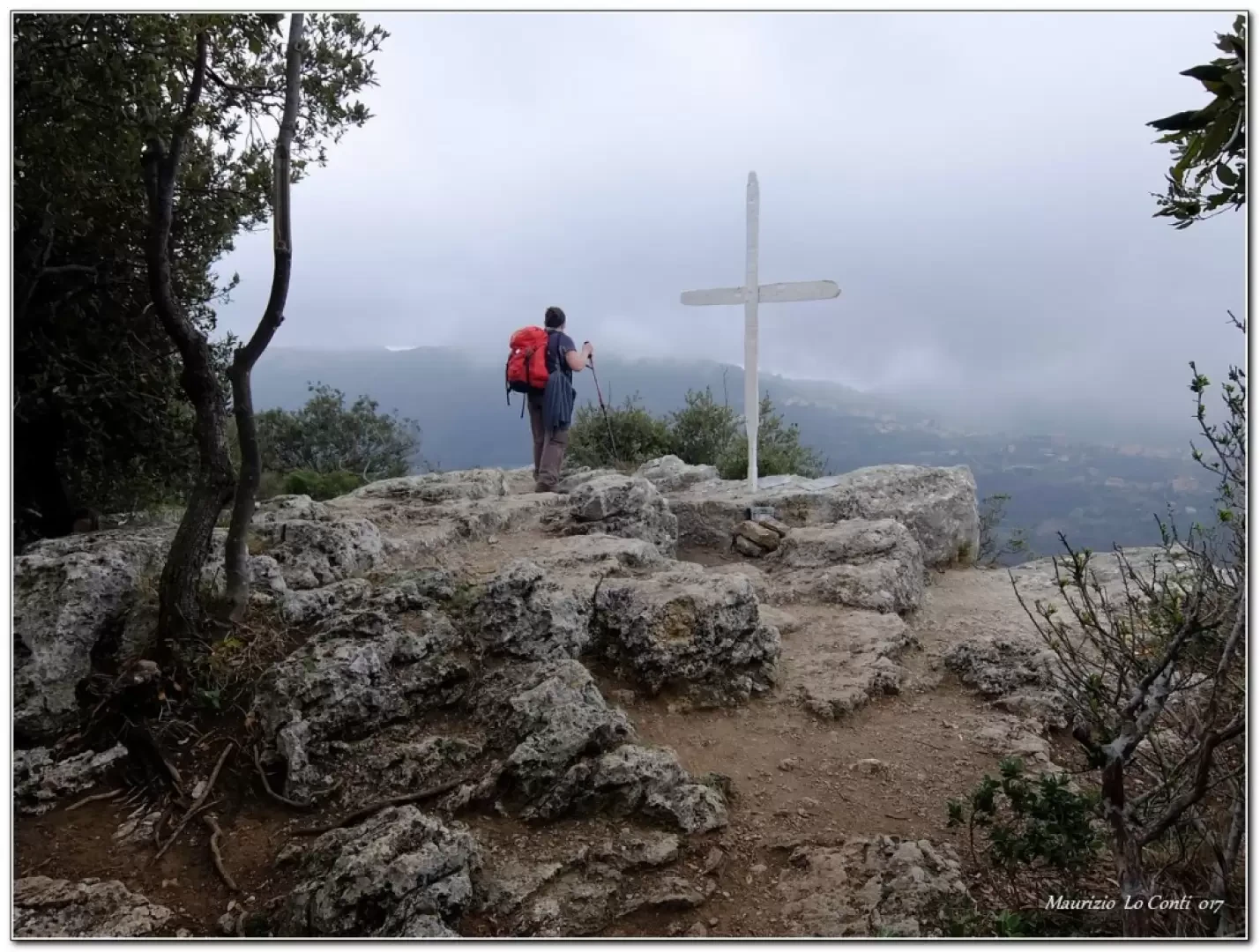
The part of the route from Finalborgo to Perti Alto develops in a barren and rocky environment, tracing the ancient 'Strada della Regina' or 'Via Beretta', built in 1666 in the Spanish period. One passes the Porta della Mezzaluna and reaches the Castel San Giovanni Fortress. Further on, an unmarked diversions allows a beautiful view of Castel Gavone (built on several occasions from the 13th to the end of the 15th century), which was depicted on the 180 lire stamp of the 1980 'Castelli d'Italia' series. We then arrive at Perti Alto (0h45') where there is a spring, the memory of some partisans who were shot (bullet holes are still evident on the wall) and the Church of Sant'Eusebio (late 10th century - 15th century bell tower - 18th century baroque church). We take the path behind the houses, seeing the back of the religious building built close to the rock and then begin to gain altitude with a few steep sections in the holm oak forest. You come out on a plateau between the old quarries, where 'Pietra del Finale' was extracted. One continues uphill and at the end of the cliff one notices on the left a cave under the path, with decidedly complicated access. The path goes to the right, re-entering the forest, and shortly afterwards you come to a fork in the path (1h 30'). Leave the main path to turn right and thus visit the Grotta del Mulo. You lose a few metres of altitude until you find it (1h40'). After the visit, retrace your steps to the previous crossroads where you keep to the right. The terrain is now flat and numerous dry stone walls stand out, denoting intense exploitation in the recent past. We arrive at a point where the path splits almost Y-shaped (2h00') and make another digression to the right. A few metres and still to the right, you can turn to see the medieval quarry and a beautiful view of the characteristic rock forms known as 'Formaggette'. Back down, continue to the right for the two Arme delle Anime (2h10'), just a few metres away. Return to the Y junction (5') and turn right, but less than ten metres away there is another track to the left that allows a closer view of the "Formaggette", a series of boulders stacked as if to form an enormous stone cairn built who knows by whom and when... turn back, go left, but just a few more metres and there is a new diversions, again to the left, which, if followed, makes it possible to reach the top of the rock formation known as the "Acropolis", with a discrete panorama. For the umpteenth time, you retrace your steps and return to the main route (2h 30'). It takes another 20' or so to reach the summit of the Rocca di Perti (397m), a remarkable limestone complex (almost 3h00' round trip). The cross appears to be ancient and there is also a summit notebook. A break is a must.
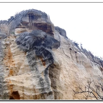
When you set off again, be careful because, although it is not very obvious, you are actually travelling a very short distance from the edge of the cliff (!) with a fairly steep descent. In 15' you cross the Grottino del Bric della Croce with two entrances (the second from the vertical wall with several climbing routes). Immediately below, a short diversions to the right leads to the Cavernetta del Bric delle Anime. After this umpteenth digression (10'), continue downhill. One ignores a first fork to the left and from the second one takes a left in search of the Rocca di Perti Weapon. In truth, only climbing routes, a shelter built with stones and perhaps another cavern can be found... Turn back and continue to descend to almost above the locality of Cianassi (20'). Here a track is evident on the left that climbs vertiginously, going around the Rocca di Perti, until it flattens out and shortly there is a diversion (left, not very evident) that leads to the entrance to the Rocca di Perti (10'). After seeing it, you can turn back and descend to Cianassi, which is cluttered with cars (15') but has a drinking fountain. Walk along the asphalt road past the Case Valle hamlet (15') and afterwards, at the church of San Benedetto, leave the road to turn left onto the old snowfields path. Continuing downhill, you reach the hamlet of Sottoripa, passing through an archivolt and reaching a characteristic little square (25'). In another 20' we return to the village, which is pleasantly lively with all its activities (just over 2h return).
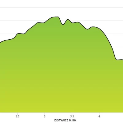
All in all: a cloudy day, a little hot for the period, difference in height of 550m approx. Dif.E. 5h Tot. plus all the breaks to see the various places we encounter...
Trip photos:
http://cralgalliera.altervista.org/SentieroPurchinGrotteRoccaPerti017.pdf
http://cralgalliera.altervista.org/altre2017.htm
NB: In case of a trip, always check with FIE, Cai, eventual park authority or other institutions, pro loco, etc., that there have been no changes that have increased the difficulties! No liability is accepted. This text is purely indicative and not exhaustive.
Info Hiking Section Cral Galliera: http://www.cralgalliera.altervista.org/esc.htm
trips 2017 at the link: http://www.cralgalliera.altervista.org/gite2017.pdf
General information
Trail:
Trail signposting: Trails with Cai markings
Type of trail:circular
Recommended period: October, November, December, January, February, March, April
Sun exposure:east
