Ring of Lake Viverone

Access
From the motorway, exit at the Santhia toll booth and the direction, then, is for Cavaglià and Ivrea as far as Viverone. You must ignore the first sign inviting you to go left down to the lake and continue straight on. In the area, most of the car parks are paid or free with a parking disc. A totally free area is next to the Tamoil petrol station. Nearby are a bar, bakery, market, pharmacy...
.Introduction
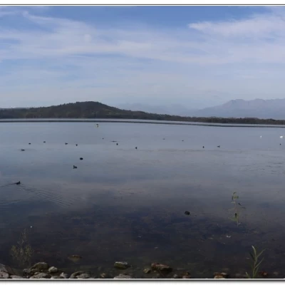
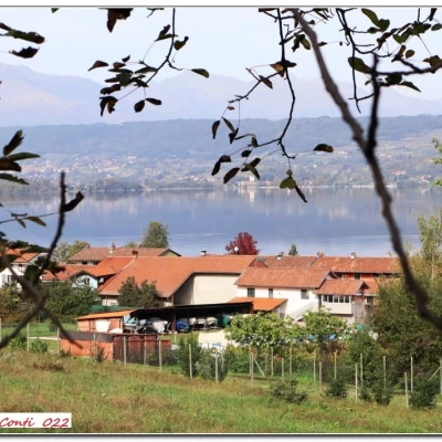
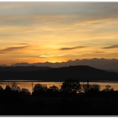
Simple walk, only a little long, around Lake Viverone with several stretches through the vegetation (it is the third largest in Piedmont, of glacial origin, 230 metres above sea level).
Description
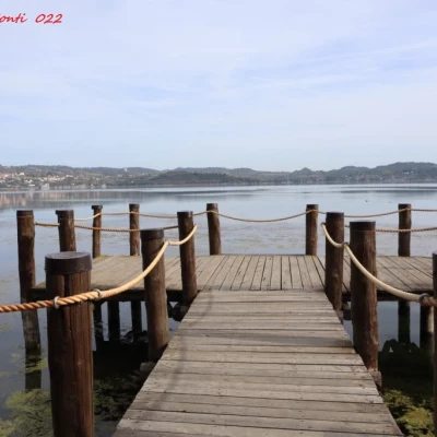
From the car park by the Tamoil petrol station, walk downhill, bending to the left and following a beautiful promenade alongside the water. It ends at Punta Becco where you follow the asphalt road (single direction, but no signposts...) into Viale Torello. At a fork in the road, turn right (via Castello) and continue to the camper van area of the Tarello bar. The Cai signposts appear and push on towards the stretch of water. From the two small Masseria jetties, turn left inland and then right to the church of the Madonna del Carmine (1h10). Here you climb up to Veneria. Ignoring the junction for Punta Cugno (Cuneo), you pass Cascina Moregna. The lake is close by, but the vegetation conceals the view. Further on, turn right (signs) for the pile-dwelling tourist landing (1h). Afterwards, proceed through the forest and, at a new signposted crossroads, turn right. At a couple of 90-degree angles, a bar stands out beyond which you reach the viewing tower (45'). Returning to the bar, keep to the right. The Cai signpost leads to the junction with the SS 228. The decision is now made to abandon the marked path, which continues its course away from the coastline. The carriageway is traced for a few metres (about fifty) and from the LaKascina ristopub one goes to the right past the building. In about 10' you turn left (90 degrees) to the tarmac. You go left again and then the small road bends to the right. There is a gate leading to the l'Idea refreshment point and the Maracaibo bar, which are useful for a coffee. To access from the lake, one passes a gate going left between trees, lotus flowers in the water and a fence marking the path. You come out next to the village of Anzasco (1h10). We decide to complete the day with a tour of the lake. You disembark from the marina at Viverone, giving up, of course, the remaining stretch to Anzasco (about another 15/20'). In about 10' you will find your car again (if there is no boat +2 km on foot on the boring state road).
In a nutshell. Dif. T, 16 km, 4h15, 150 mt desc.
In addition to the usual Pdf file
http://cralgalliera.altervista.org/LagoViverone022.pdf
http://www.cralgalliera.altervista.org/altra2022.htm
http://www.cralgalliera.altervista.org/GitePiemonteCentroNordLombardiaOvest.htm
NB: in the case of an excursion, always check with FIE, Cai, any park authorities or other institutions, pro loco, etc, that there have been no changes that have increased the difficulties! No liability is accepted. The present text is purely indicative and not exhaustive.
Info Hiking Section Cral Galliera: http://www.cralgalliera.altervista.org/esc.htm
Trips 2022 at the link: http://www.cralgalliera.altervista.org/gite022.pdf


