Ring of Cassinelle
Access
By train, getting off at Borzoli (from Genoa, an integrated ticket or Amt season ticket is sufficient) or by car (or bus no. 53) from the Rivarolo or Sestri district (on the other hand, from the motorway, exiting at the Aeroporto tollbooth, you can turn off immediately - signposted Erzelli/Borzoli - and enter directly, taking advantage of two tunnels that lead to the area in no time at all).
Introduction
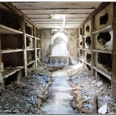
In the area, the various paths have been abandoned for several years, due to brambles, some landslides and more (EE). In addition, the Fie symbol to be followed on the ascent is very faded, but visible (somewhat rarefied). Recently, however, thanks to some associations in the area (January 2021), with the help of the municipality and the Amiu, the situation, in the sense of practicability, has improved and the path is once again classified as E (path widened and adjusted in places). The site of the abbey is somewhat sinister and under the sacred building is a room with a crypt and burial niches.
Description
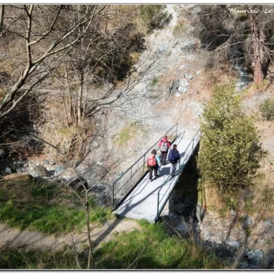
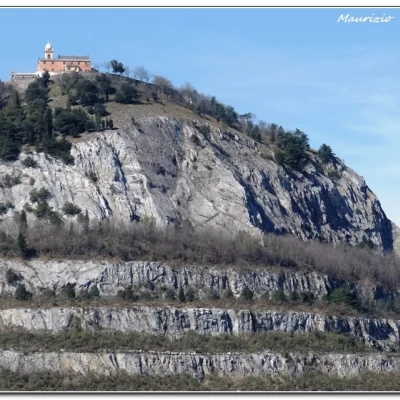
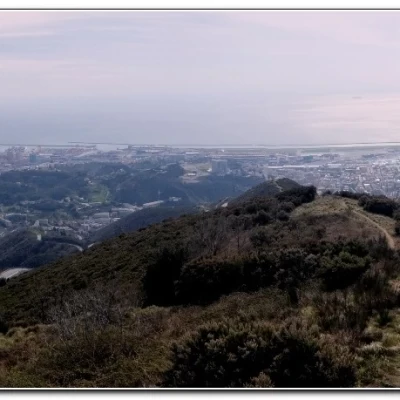
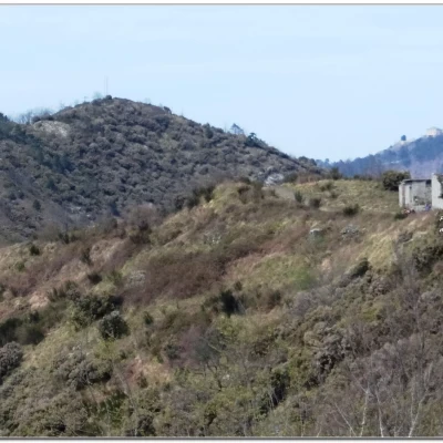
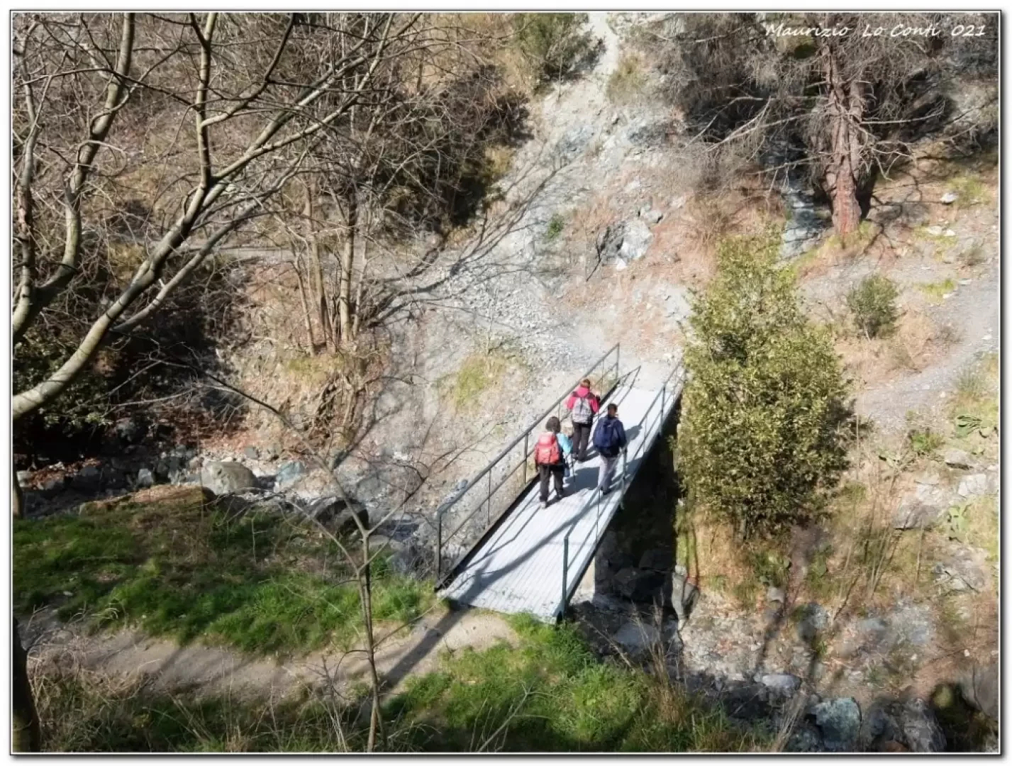
From the square above the station (57 m), go up to the church. A little further on, follow Via Rivassa to the left. It descends and is now cobbled, passing a small metal bridge. Picking up height, from a building turn right into vico superiore Priano and then into via San Rocco di Borzoli. From a clearing, care must be taken: first go right, but immediately afterwards keep left on a path. Even at a subsequent fork, one prefers the left. One climbs up to a high-tension pylon (270 m). Here you turn left (return to the right). You now face a false-flat section until you join a wider path that climbs from the left. You gain height, touching the remains of Cassinelle Abbey (378 m). In view of the area, with extreme caution and respecting the prohibitions, continue past a low wall. The track is wide and with a series of zeta's gains height in the forest. When the route tends to the right, the flora lowers and we reach a pass where we turn left for the nearby Bric Teiolo chapel (630 m - an excellent spot for a rest). After the rest, the previous pass is regained. The view is wide in every direction! Descend to a fork where a panel suggests going right (Rock dei Corvi - 444 m) . In a short time, there is a new junction where you descend very steeply to the pylon seen in the morning (and also well in evidence from the start of the descent). With the morning walk, you return to the station.
In short: Diff. E - 10 km - 650 m asl - 4h30 total + stops and breaks - fair weather but cold at the highest altitudes (even after departure only 8 degrees!). Ride comfort: sufficient, except for the very poor descent to the pylon. Tour interest: average.
If you want, here's the pdf photo file, with a bit more information:
http://cralgalliera.altervista.org/Borzoli021.pdf
http://www.cralgalliera.altervista.org/anno2021.htm
http://www.cralgalliera.altervista.org/altre2021.htm
NB: in the case of an excursion, always check with FIE, Cai, any park authorities or other institutions, pro loco, etc, that there have been no changes that have increased the difficulties! No liability is accepted. The present text is purely indicative and not exhaustive.
Info Hiking Section Cral Galliera: http://www.cralgalliera.altervista.org/esc.htm
Trips 2021 at the link: http://www.cralgalliera.altervista.org/gite021.pdf
General information
Signposting: FIE
Type of route:partially circular
Recommended period: January, February, March, April, May, October, November, December
Sun exposure: south
Objective Danger:none
Exposed Trails:none
Useful Equipment:normal day hiking equipment
