Ring from San Martino di Struppa to Canate
Access
From the centre of Genoa, drive up the Bisagno valley and before Prato, from Via Struppa, turn left at a traffic light (Via Trossarelli); drive up to the church of San Martino di Struppa, with parking at the church or along the road, along the straights before the last few bends (few spaces).
Description
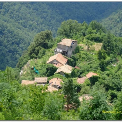
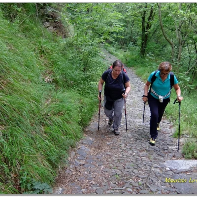
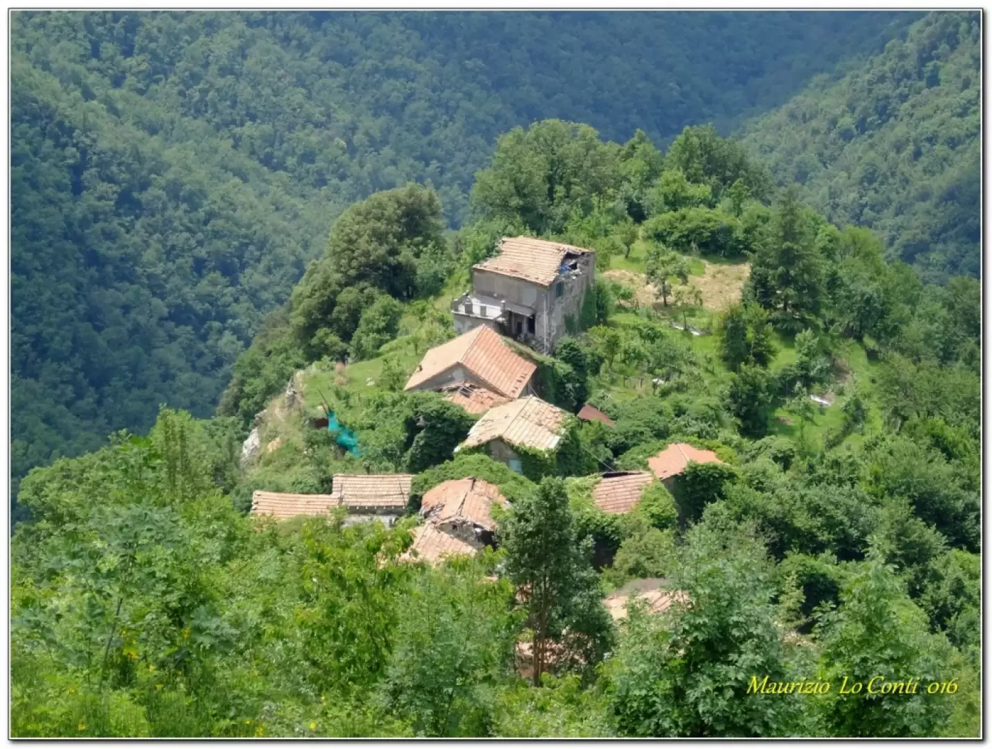
The start is from San Martino di Struppa 357 m, from the church (near a spring). We take the Gave climb and, at a fork in the road, keep to the left, while to the right is the way back (Via Borgano). You ascend on a wide, ancient cobbled road, in some places still preserved. In 1h20, you will reach Gola di Sisa 730 m. From here, you will catch a glimpse of the Val Noci and now tackle, bending to the right, a section of the AV. You pass through the forest until you come to a bench with an important crossroads (1h). The place, as can be read on the signposts, is called Colle Est monte Lago 847 m. You then face a difficult descent (lots of grass). The path is hardly beaten and plunges down into the valley, losing about 300 m in altitude until you see the village of Canate (which now has a couple of residents...) 545 m. You slowly descend towards the village, which is of medieval origin (12th century). The beautiful Alpesisa peak stands out clearly and a final steep ramp finally leads to the houses (almost 1h). The group with which this itinerary has been covered is very heterogeneous and so we went slowly (in all, 3h20 each way).
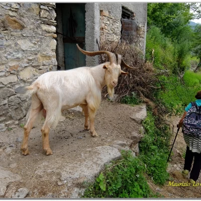
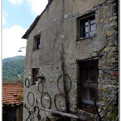
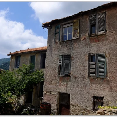
Before the lunch break, we take a tour photographing the various emergencies and living situations in the village (there is a spring).
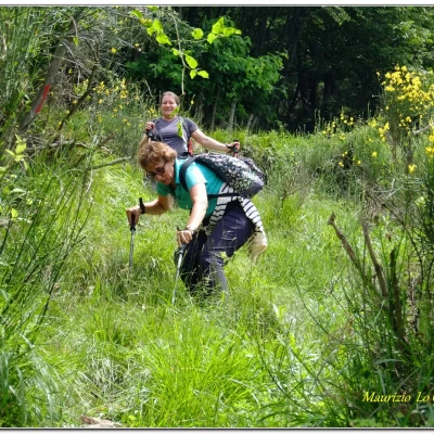
After the break, we set off again (keeping to the right with respect to the descent) with several ups and downs along a path that is narrow in several places (pay close attention) and at times almost closed in by vegetation, a clear sign that few people pass through here...
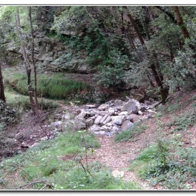
Turning back, we notice, several times, an interesting retrospective on Canate. The heavy rains of past years have hollowed out the torrents and some of the crossings are a little tricky... At the end, it widens out a little, touching on the ruins of the Tigui houses.
The return journey takes more than 2 hours. In the end, fair weather but a little damp, for a total of 600 m descent 5h30 Tot. A and R diff. E (+). Not recommended after the rains because the mud would make it even more difficult to tackle the many difficult points...
Trip photos:
http://www.cralgalliera.altervista.org/Canate016A.pdf
http://www.cralgalliera.altervista.org/Canate016B.pdf
http://cralgalliera.altervista.org/altre2016.htm
Previous photos of trips in the area (ascent to the Alpesisa summit): http://cralgalliera.altervista.org/alpesisa08.pdf
On page 4 there is an article on the Alpesisa ring http://www.cralgalliera.altervista.org/17.pdf
NB: in the case of a trip, always check with FIE, Cai, any park authorities or other institutions, pro loco, etc., that there have been no changes that have increased the difficulties! No liability is accepted. This text is purely indicative and not exhaustive.
Info Hiking Section Cral Galliera: http://www.cralgalliera.altervista.org/esc.htm
trips 2016 at the link: http://www.cralgalliera.altervista.org/gite016.pdf
General information
Trail:
Trail signposting: Trail marked with FIE symbols
Type of route: circular
Recommended period: March, April, May, October, November
Exposure to sunlight: south
Segnavia: sentiero marcato simboli FIE
Tipologia percorso: circolare
Periodo consigliato: marzo,aprile, maggio, ottobre, novembre
Esposizione al sole: sud
Foto gita:
http://www.cralgalliera.altervista.org/Canate016A.pdf
http://www.cralgalliera.altervista.org/Canate016B.pdf
http://cralgalliera.altervista.org/altre2016.htm
foto precedenti gite in zona (salita alla vetta dell’Alpesisa): http://cralgalliera.altervista.org/alpesisa08.pdf
A pag 4 c’è l'articolo sull'anello dell'Alpesisa http://www.cralgalliera.altervista.org/17.pdf
NB: in caso di gita, verificare, sempre, con FIE, Cai, eventuale Ente parco o altre Istituzioni, pro loco, ecc., che non ci siano state variazioni che abbiano aumentato le difficoltà! Si declina ogni responsabilità. Il presente testo ha solo carattere puramente indicativo e non esaustivo.
Info Sezione Escursionismo Cral Galliera: http://www.cralgalliera.altervista.org/esc.htm
gite 2016 al link: http://www.cralgalliera.altervista.org/gite016.pdf
