Traglio Refuge at Capezzone Lake

Edited by:
Giancarlo Beretta
Last survey: 23/10/2012
Updated at: 22/09/2024
Updated at: 22/09/2024
Length
10.00 Km
Departure altitude
1291 m
Arrival height
2106 m
Positive difference in height
824 m
Round trip time
02h30'
Recommended period
Description
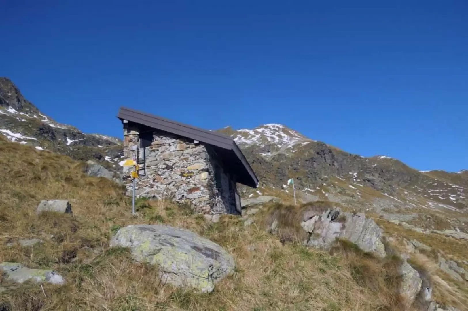
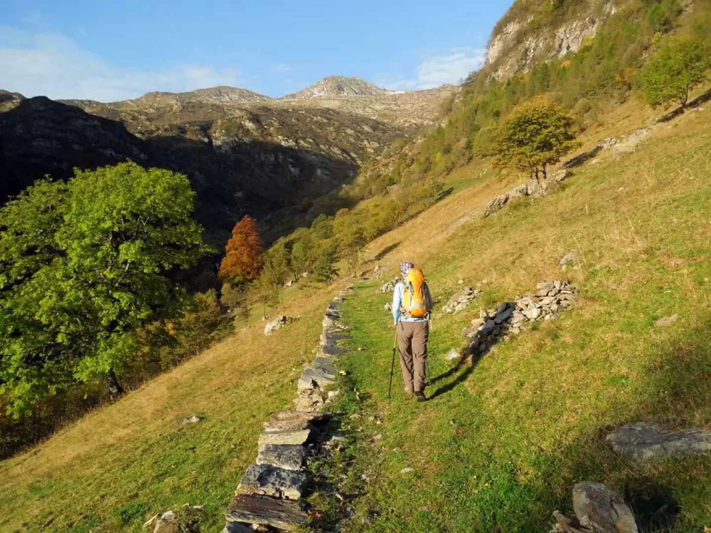
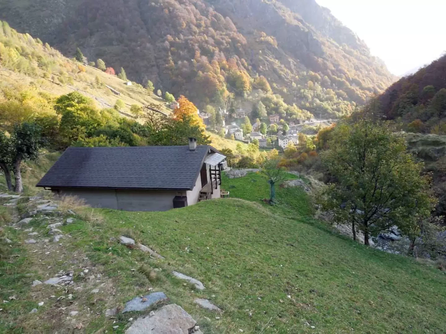
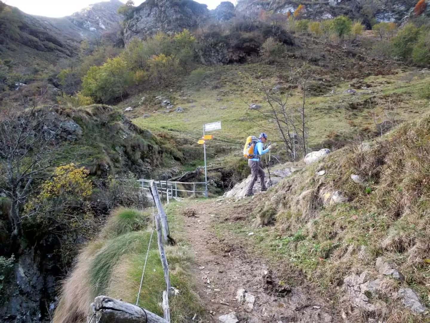
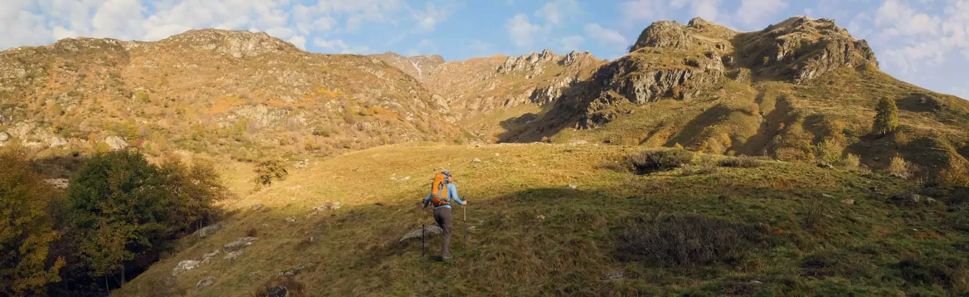
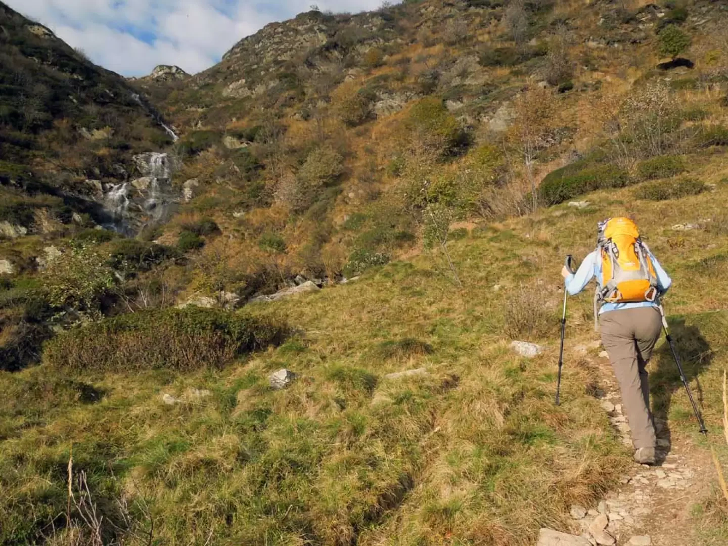
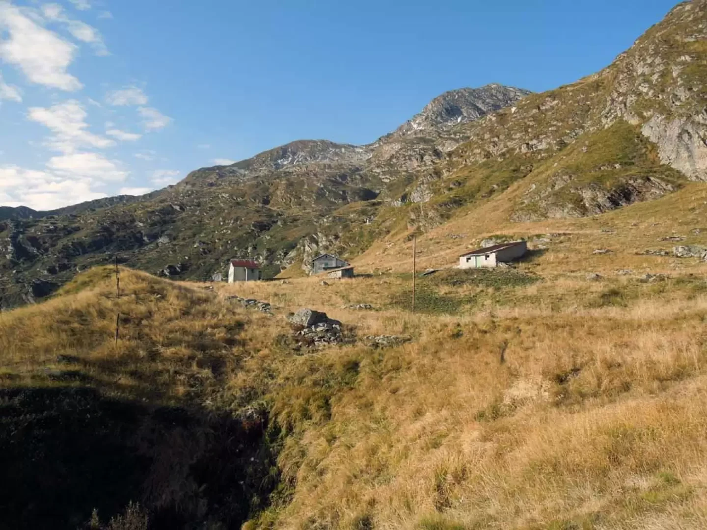
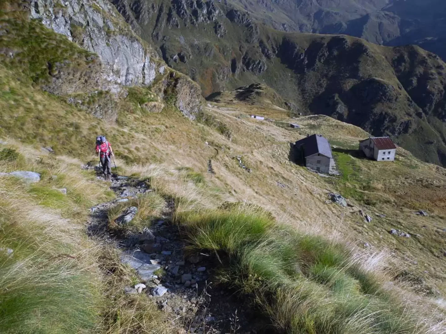
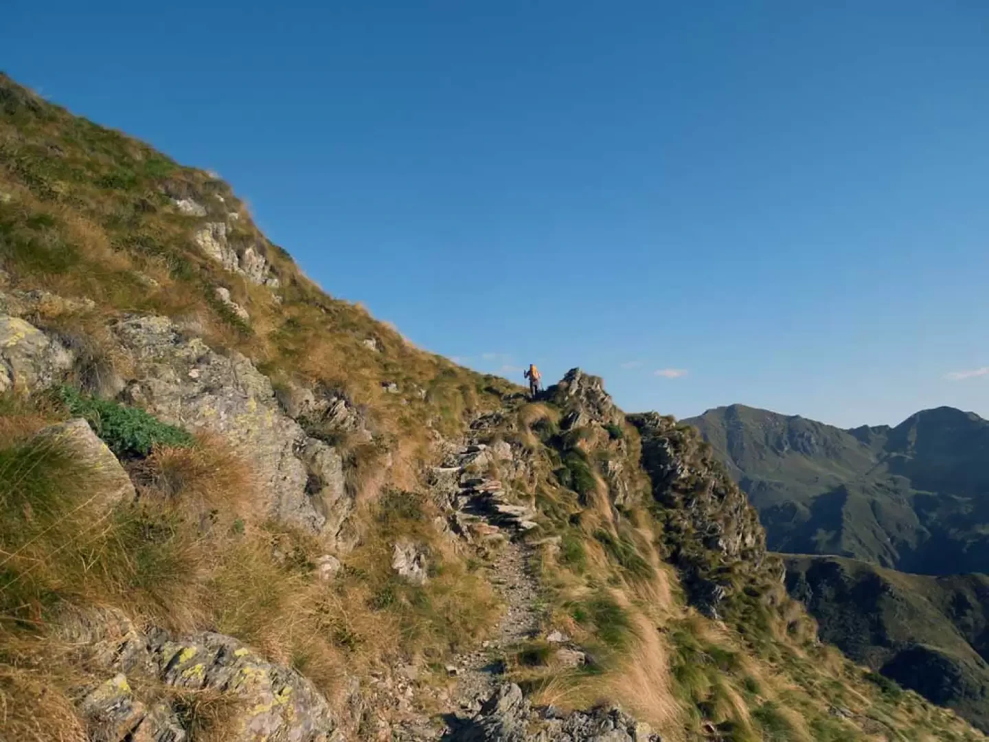
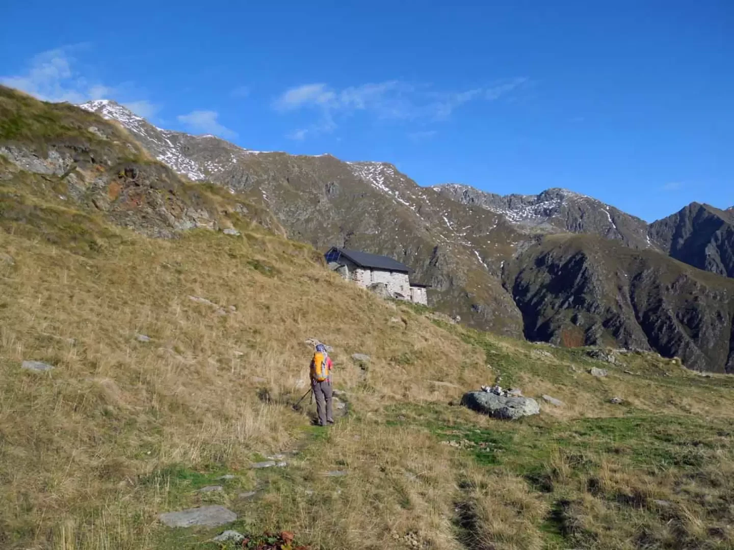
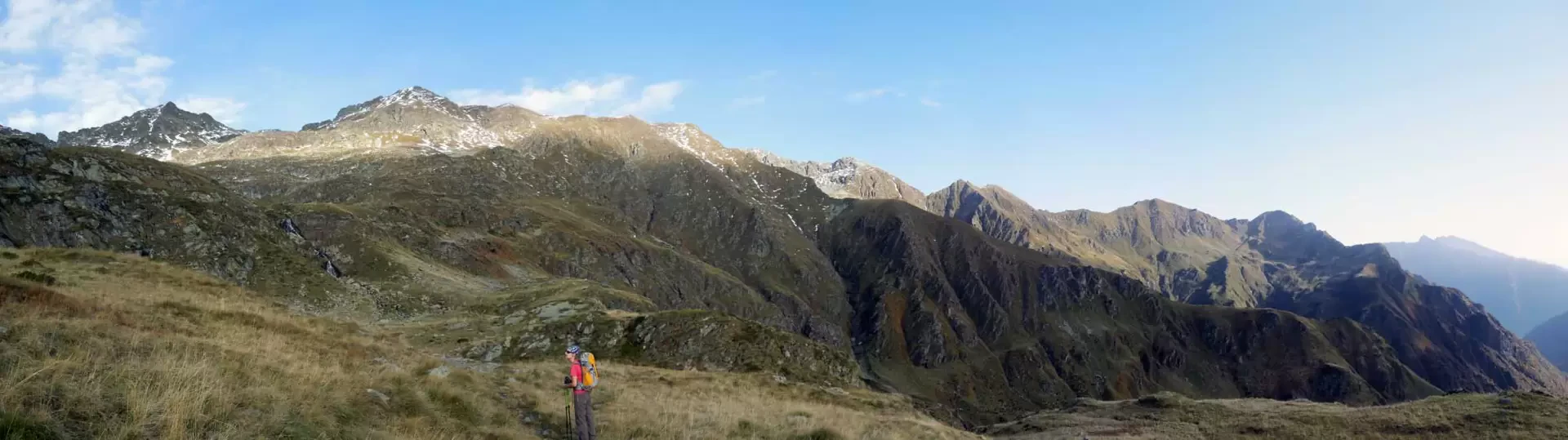
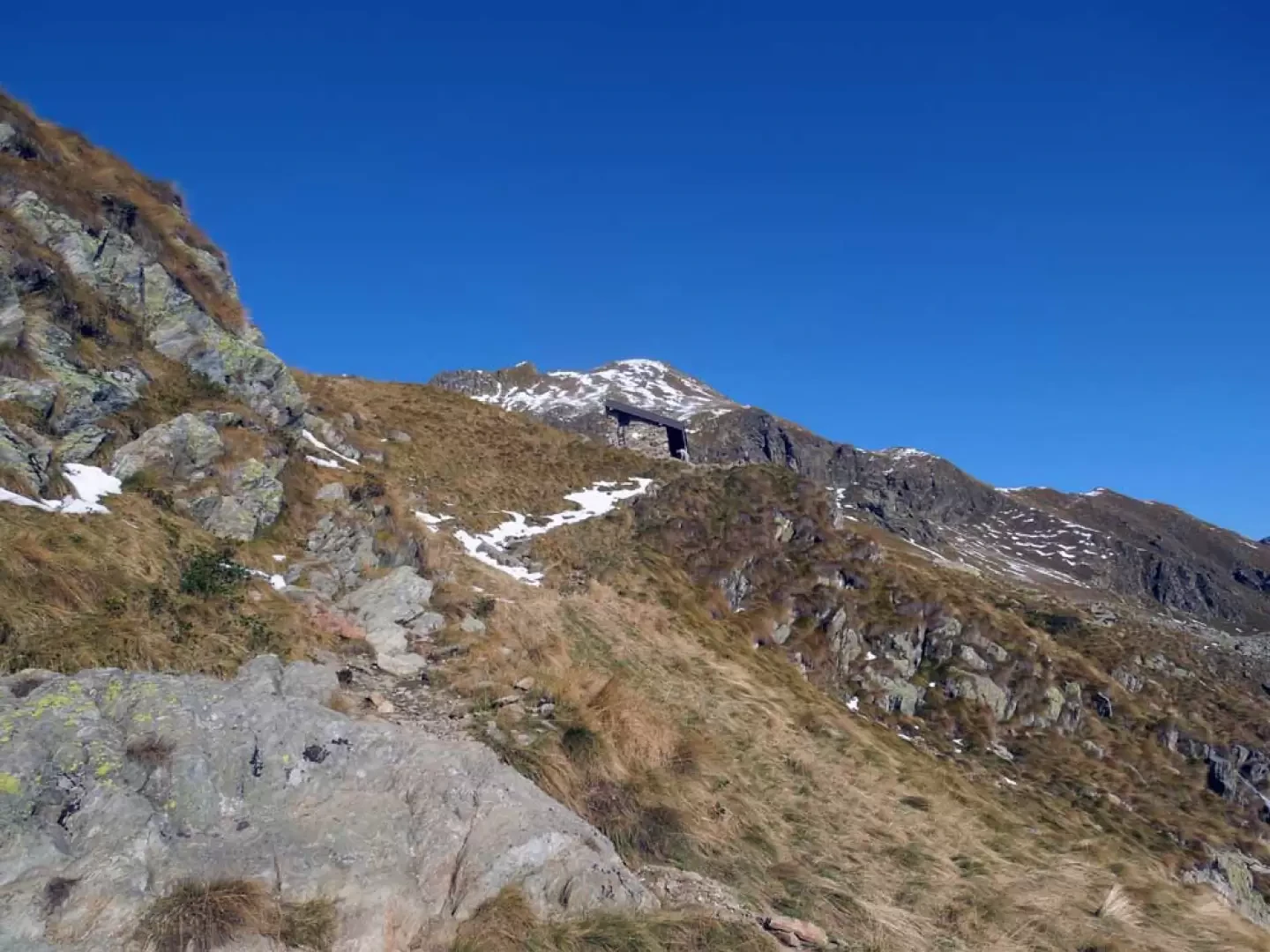
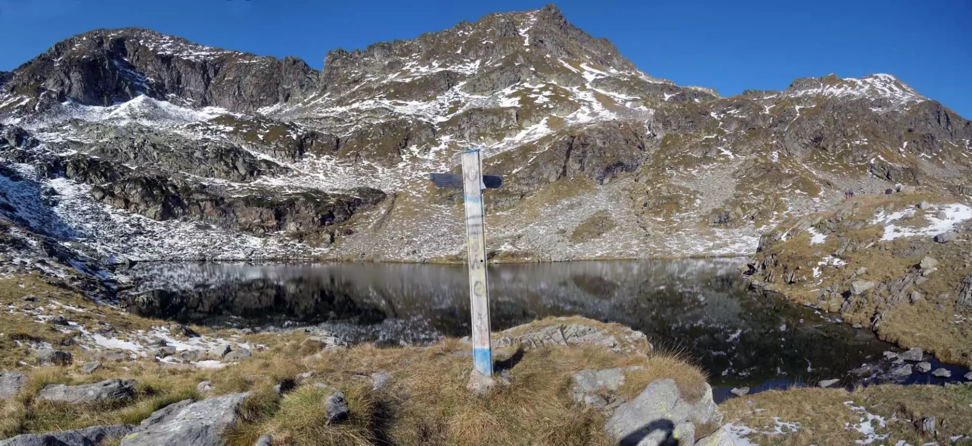
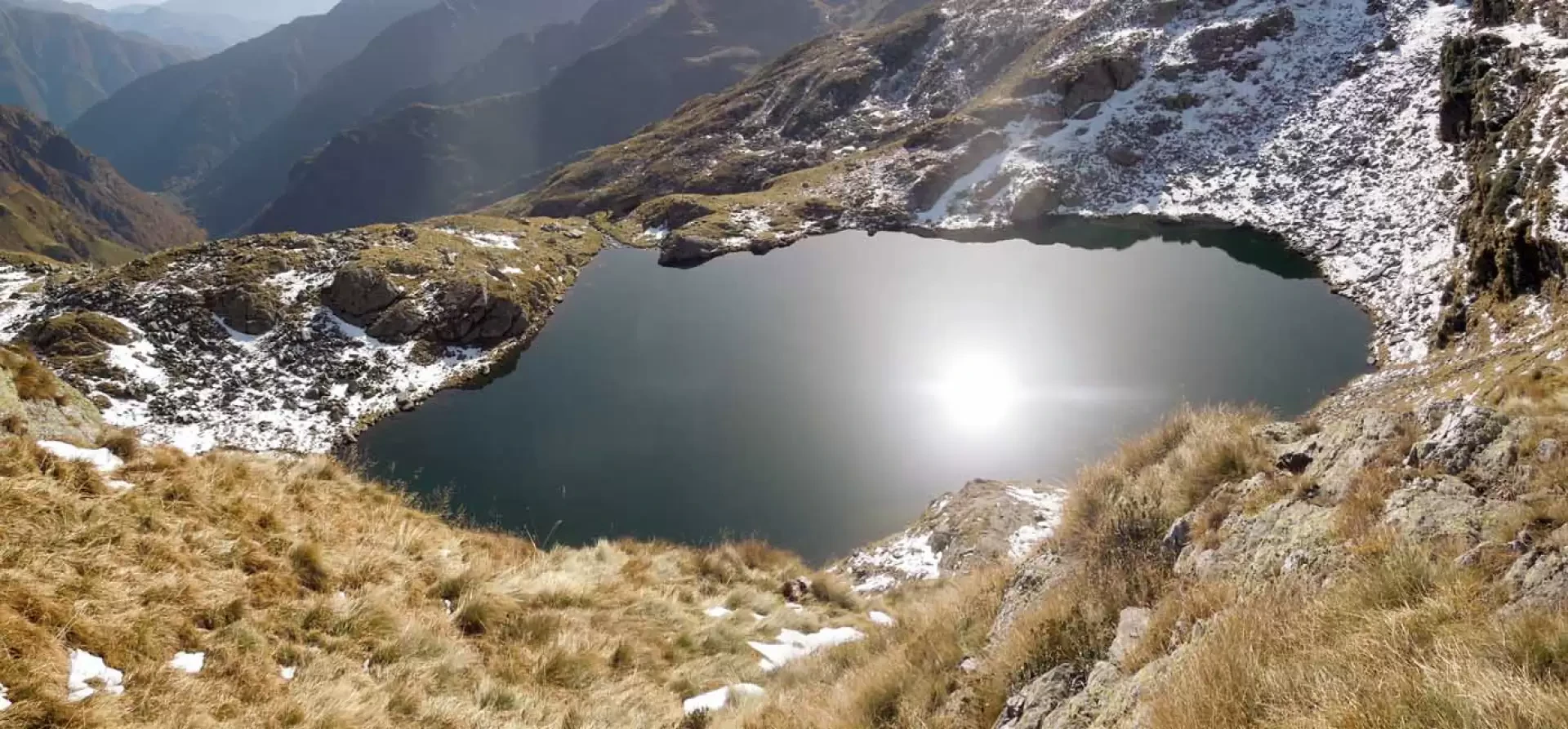
The Abele Traglio hut is so called, but in reality it is a masonry bivouac of the GAM Quarna and the Omegna section of the CAI, with a well-equipped kitchen with gas and crockery, and a planking with mattresses in the attic, accessed via a trapdoor. It is situated on a grassy promontory near the estuary of Lake Capezzone and offers an exceptional panorama not only over the valley floor that has just been climbed but also over the northern peaks of Campello Monti: Montagna Ronda, Punta dell'Usciolo, Cima Ravinella and, continuing along the long ridge, we reach Monte Massone. The basin where it is located is dominated by the highest peaks in the district, namely the Cime di Altemberg, Cime del Lago and Cime del Capezzone, the highest. Its access does not entail any difficulty, except for paying a little attention in places where the path gets a little lost in the grass, also due to the somewhat faded signposts, whereas there are markers near the forks. Description From the car park, we enter the built-up area and head towards the church by climbing the steps next to it from which, on the left, the path begins. Walk along a beautiful grassy mule track which crosses the grassy slopes of Monte Prevor, arriving immediately at a fork with a path which branches off to the right, which you ignore to continue, always on a slight incline, as far as the Sass da Mür hut. Once past the hut, the path rises slightly to reach a fork in the road near a small bridge (1384 m) which we do not cross but continue to the right; ascending alongside the torrent we come to another small bridge which we cross on the left, climbing back up a low grassy rib which, past a beautiful waterfall, takes us to an upper basin. Cross the hollow, bending slightly to the left and heading towards the slope to the right of a small waterfall, which you begin to climb. Cross it to the left and climb up a few narrow hairpin bends that immediately bring you to a grassy promontory, from which the path flattens out in view of Alpe Piana di Via. When you reach the upper hut, you will find the signposts that tell you to continue to the right, making a long traverse under a rocky rampart where you pass a masonry cabin after which, having crossed a stream, you reach another fork in the road (1823 m). Here you turn sharply to the right, passing a small bank after which you reach Alpe Capezzone and continue on a slight incline, crossing a stream; then, having arrived near a low rocky bastion, the incline increases a little to climb the slope to the left at the end of which you reach a grassy plateau. Here (1,956 m), keep to the left towards a small stone cairn, ignoring the painted arrow indicating that you should continue straight ahead, and cross a stream heading for the slope of low vegetation at the base of some rocky crags. After climbing up a few hairpin bends, the path begins a traverse to the right where it crosses a large, smooth rock with the help of a few steps dug out of it, after which, continuing on the traverse for a few more minutes, it reaches the panoramic refuge located near the Capezzone Lake estuary.Galleria fotografica
© 2021 - Giancarlo Beretta
© 2012 - Giancarlo Beretta
© 2012 - Giancarlo Beretta
© 2012 - Giancarlo Beretta
© 2012 - Giancarlo Beretta
© 2012 - Giancarlo Beretta
© 2012 - Giancarlo Beretta
© 2012 - Giancarlo Beretta
© 2012 - Giancarlo Beretta
© 2012 - Giancarlo Beretta
© 2012 - Giancarlo Beretta

© 2012 - Giancarlo Beretta
© 2012 - Giancarlo Beretta
© 2012 - Giancarlo Beretta
© 2012 - Giancarlo Beretta

© 2012 - Giancarlo Beretta