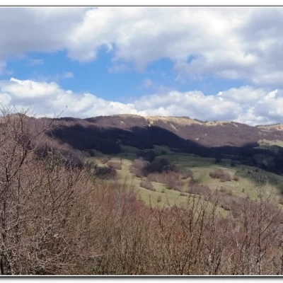
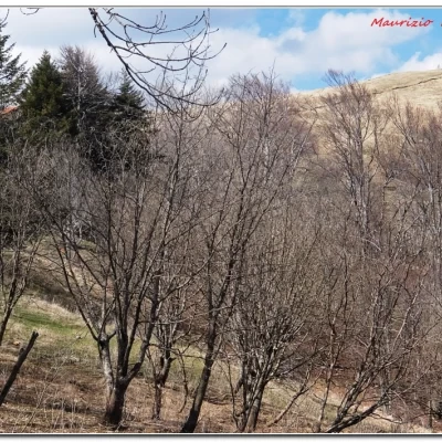
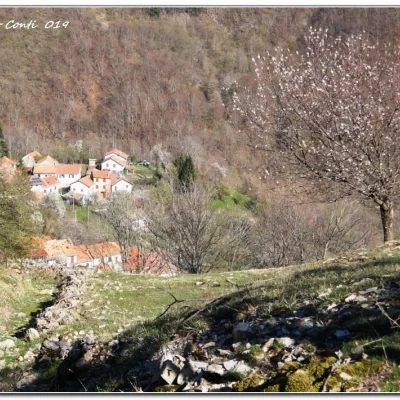
Monte Antola Refuge, from Caprile
Access
From Genoa, go up the Val Bisagno on the SS45 and, after exiting at Torriglia, cross the town. A little further on, turn left onto a narrower road, ignore the branch-off for Pentema and go through the Garaventa tunnel. Continue past Bavastri and Bavastrelli and then turn left onto the diversions that ends in Caprile (13 km from Torriglia).
.Introduction
From Caprile, there are two Fie paths that are well known and practised. In fact, there is also a third, lesser-known one that leads towards the refuge and summit, the subject of this text. The refuge, after some management with alternating fortunes, has been well run and a safe point of reference for hikers in the area for some years by a couple who have recently been replaced by two other good young people....
Description
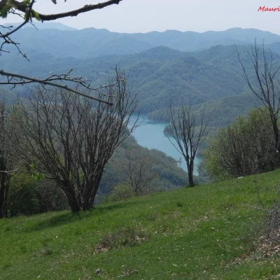
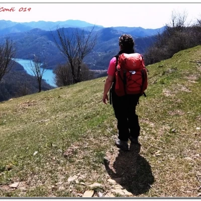
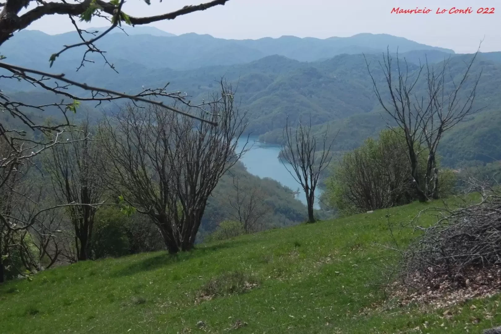
Caprile is a hamlet located at 994 m and you follow the yellow symbols that skirt a couple of troughs. At a crossroads, you ignore the two Fie symbols relating to the classic routes and turn left, almost level, onto the recent one, which follows a wide track. Without any particular difficulty, you continue on the main route. Some of the slopes are a little steeper, but no big deal... We ford a stream and enter the dense forest. You gain height, almost without realising it... Afterwards, you gain a beautiful view of the Brugneto. Caprile is evident from the top of the path and you cross the so-called 'Anello del rifugio'. Here you leave the connecting track and turn left, descending a few metres. Above is the 'Ciuffo', one of the most beautiful (and steep) climbs of the Antola... We cross the path that climbs from Bavastrelli, just above the Cappella del Manto (1245 m), also known as the Madonna delle Grazie. The ascent, although on beautiful ground, becomes more demanding for a moment, then softens near the refuge at 1460 m (total time 2h). The return is along the ascent route (1h30).
In a nutshell. Dif. T/E; approx. 3h30tot, 500m asl.
If you want, here is the pdf photo file, with a bit more information:
http://www.cralgalliera.altervista.org/Caprile022.pdf
http://www.cralgalliera.altervista.org/Caprile019.pdf
The latest pieces on Antola published in 'Un'Idea':
on page 1 of no. 51: http://cralgalliera.altervista.org/51.pdf
on page 4 of no. 50, all links to previous articles: http://cralgalliera.altervista.org/50.pdf
http://www.cralgalliera.altervista.org/year2022.htm
http://www.cralgalliera.altervista.org/altre2022.htm
NB: in the case of an excursion, always check with FIE, Cai, any park authority or other institutions, pro loco, etc., that there have been no changes that have increased the difficulties! No liability is accepted. The present text is purely indicative and not exhaustive.
Info Hiking Section Cral Galliera: http://www.cralgalliera.altervista.org/esc.htm
trips 2022 at the link: http://www.cralgalliera.altervista.org/gite022.pdf
