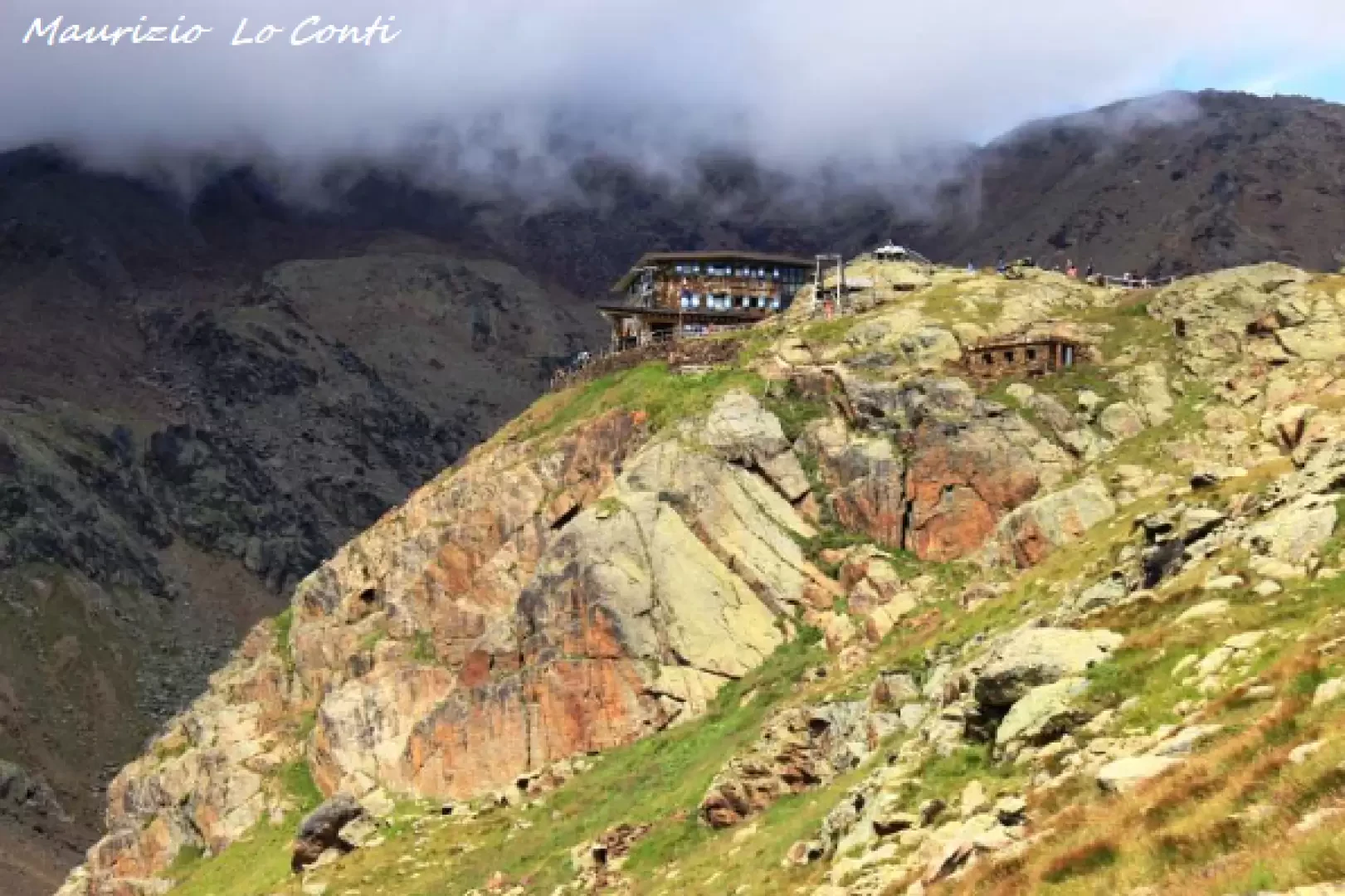
Rifugio Larcher, from Cogolo

Access
You go back up the Pejo valley and, from Cogolo, by asphalted road (about ten kilometres - entrance fee) you arrive almost at an altitude of 2000 metres, by a hydroelectric plant with a discreet parking area.
Introduction
After many years, we return to the Cevedale Refuge.
Description
The access path is easy and well-trodden. We set off, immediately touching on Malga Mare (2031 m), a restaurant with managers who do not inspire much sympathy (let us also use this euphemism...). The mule track climbs, with a few wide bends, through sparse woodland, crosses a few streams and leads to the beginning of Pian Venezia, where, from a closed hut (it is a park surveillance point), the path to Lago Lungo starts to the right, which should be ignored. Continue straight ahead and the path cuts across the mountainside. The Noce Bianco stream flows down below. The hut seems close at hand, but it takes some time to reach it (1h45 And.)
From the beautiful and cosy hut (2607 m), the chain, now only partially snow-covered, that leads from Vioz to Cevedale stands out... After a well-deserved break... the return is by the ascent route (1h30 Ret.).
In summary: discreet day's descent 650m Dif. T for about 3h15h Tot. + all the breaks to see the various places that we encounter
If you want here is the pdf photo file, with a bit of other news:
http://cralgalliera.altervista.org/FolgEst17/Trentino017G.pdf
http://www.cralgalliera.altervista.org/anno2022.htm
http://www.cralgalliera.altervista.org/altre2022.htm
NB: In the case of an excursion, always check with FIE, Cai, any park authority or other institutions, pro loco, etc., that there have been no changes to the route, that there have been no changes that have increased the difficulties! No liability is accepted. This text is purely indicative and not exhaustive.