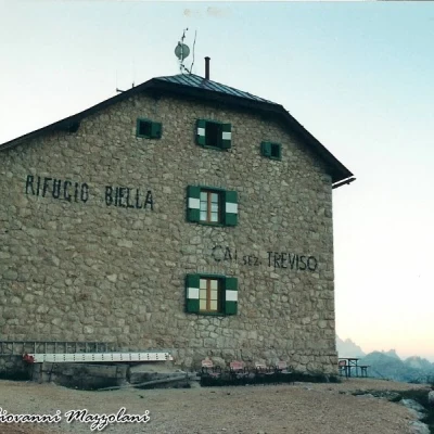
Biella Refuge for Alpe de Fósses, from Malga Ra Stua
Introduction
The second scenario involves 247 m of altitude difference and 3 km. 1.15 hours.
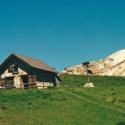
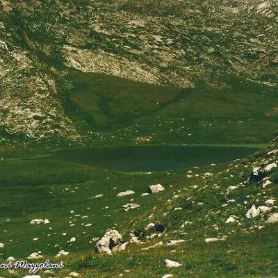
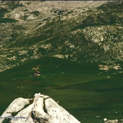
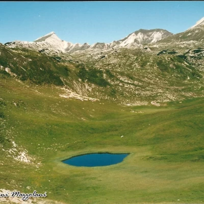
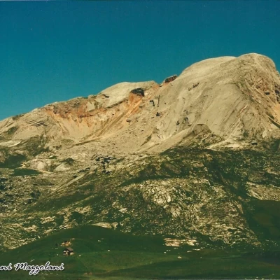
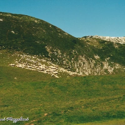
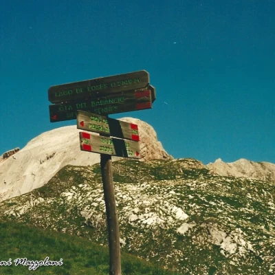
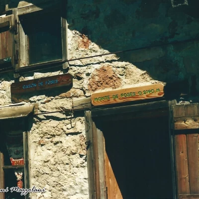
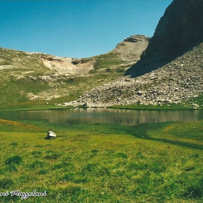
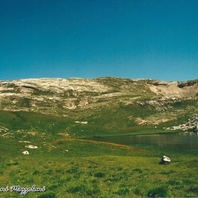
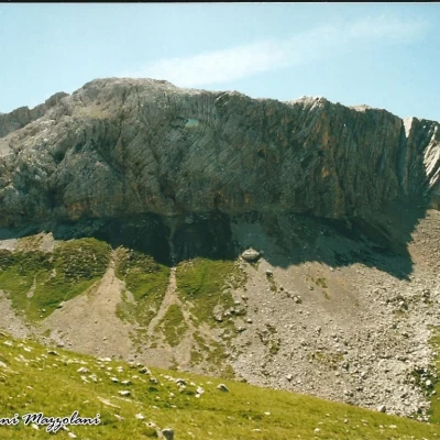
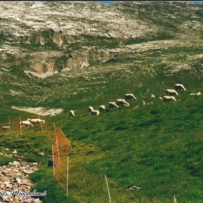
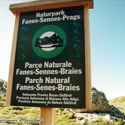
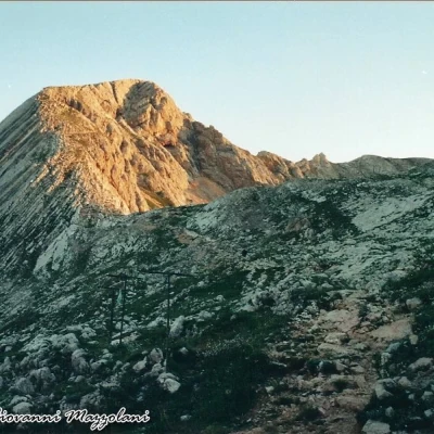
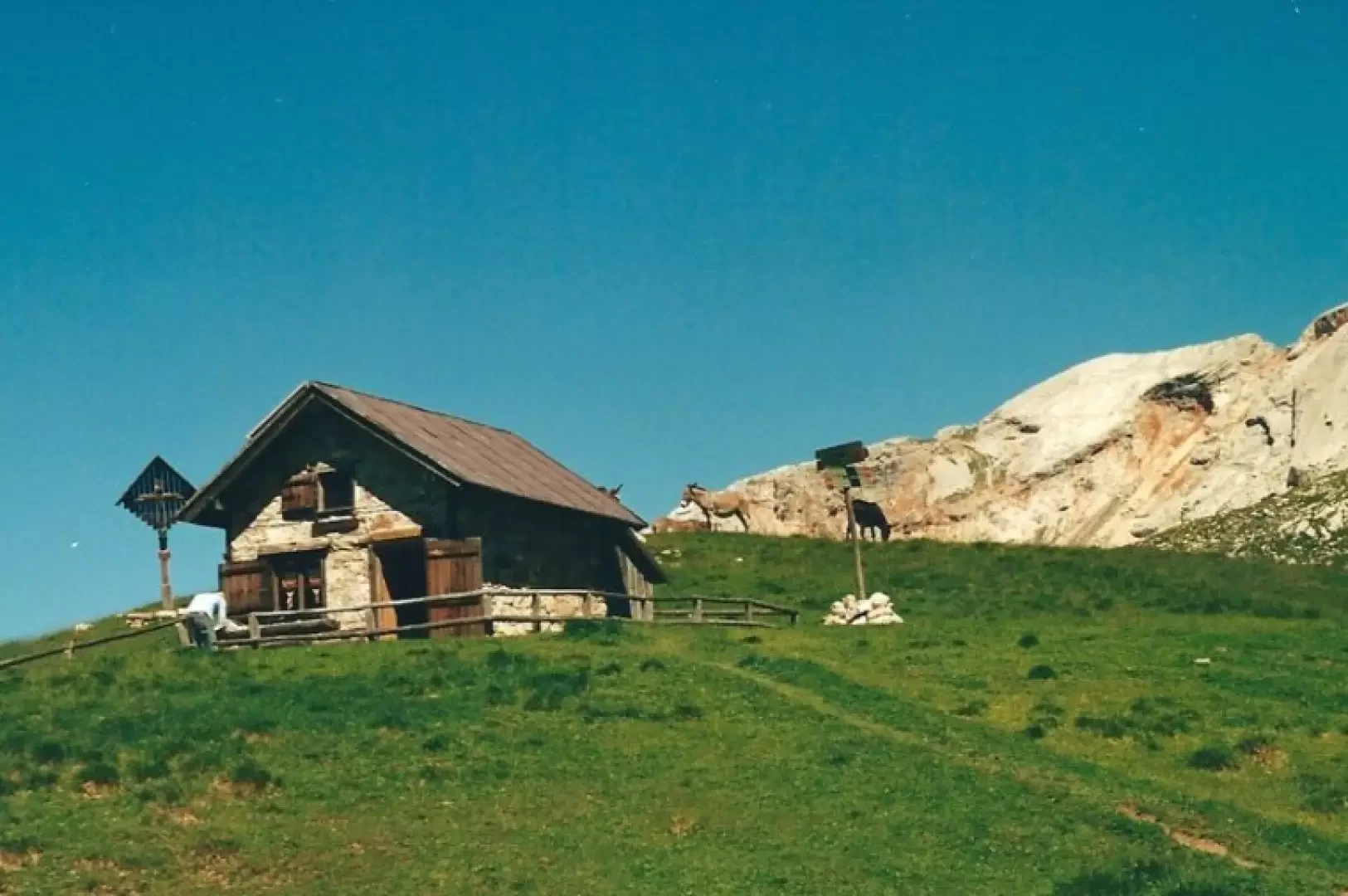
We ascend by shuttle bus to Malga Ra Stua 1668 m., a wide, slightly uphill dirt track leads to Campo Croce 1758 m. (marker 6) (time 0.20 hours) where the Boite Torrent, which gives its name to the valley where Cortina d'Ampezzo is located, has its source. We turn right onto path no. 26, which immediately climbs steeply and narrowly up the rocky, barren escarpment that passes the rocky barrier of Crepe di Socroda. We proceed left towards a fork to reach the Pian di Socroda. We descend and ascend to the right to reach the Cros del Gris 2188 m. We descend into the wide valley of the Alpe di Fosses, where we find Lake Remeda Rossa and the Small and Large Lakes of Fosses 2142 m. We must be careful of the marshy terrain. Karst cavities allow the water from the lakes to drain away, and it seems, from research carried out, that it feeds the Boite springs, about 400 metres lower down. Numerous sheep, donkeys and horses graze here. Having passed the lakes and left the shepherd's house (Casón de Fòses) on the left, we start to climb again towards the Biella Refuge (total time 2.30). Leaving the Biella hut the cart track (ex-military) path no. 6, slightly downhill, leads in 5 km to the fork, to the right, for the Sennes hut (time 1.15), here the Fanes Sennes and Braies Nature Park ends. We turn left towards Val Salata (Natural Park of the Ampezzo Dolomites) the stony descent takes us back to Campo Croce (time 0.45 hours) and to Malga Ra Stua (time 0.15) (total time 2.15). The return route is completely exposed to the sun because it is devoid of vegetation.
.