Antola Park Refuge, from Cerviasca
Access
In Valbrevenna, go up the carriageway to the village of Cerviasca, with a small car park (from the Busalla A7 exit towards Casella, Avosso, Molino Vecchio, right fork x Carsi and then left x Cerviasca - very narrow road in the final stretch)
.Introduction
From Cerviasca to the Monte Antola Refuge, along the cool Valbrevenna forests
Description
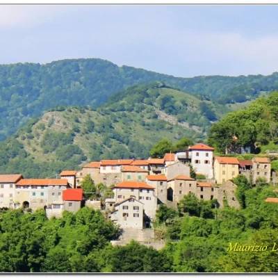
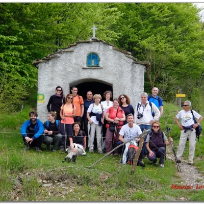
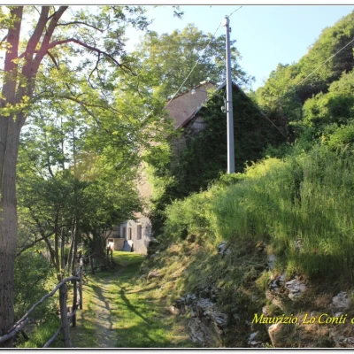
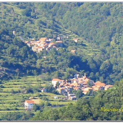
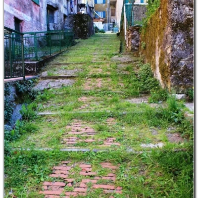
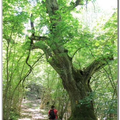
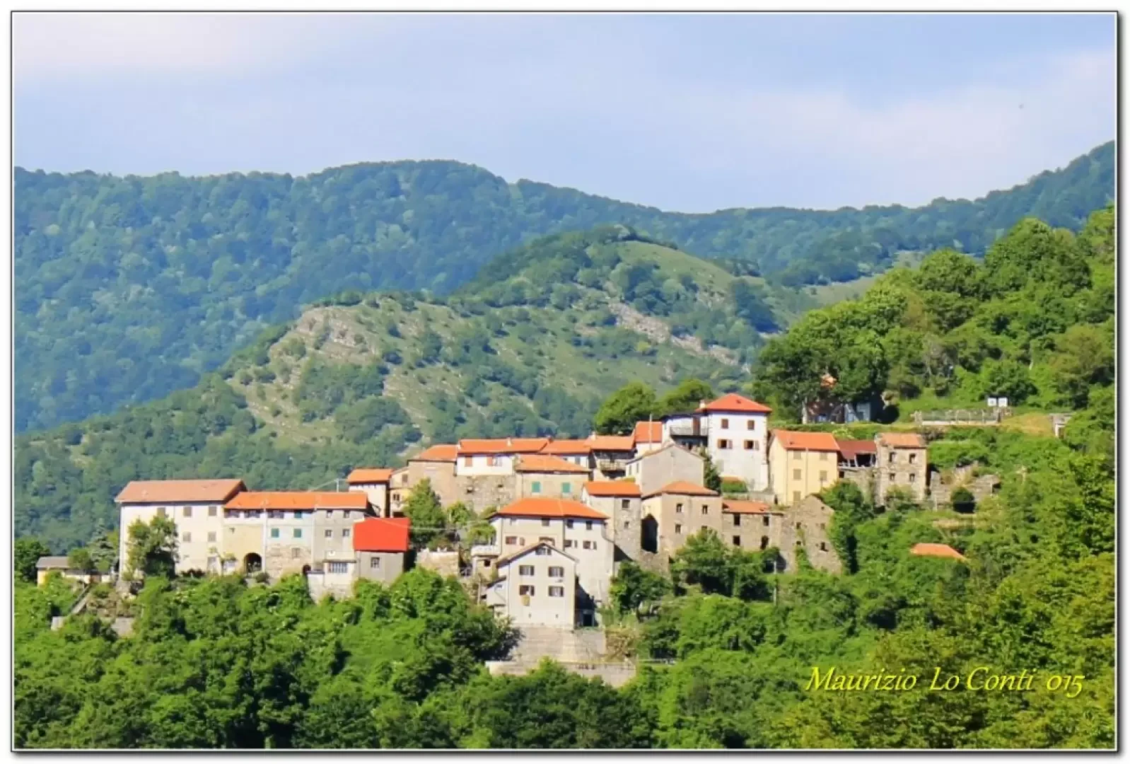
Cerviasca is a remote Valbrevenna village clinging to the mountain at 912m. It is reached via a narrow, partly ruined road and the car park is tiny... You ascend from the little church with an excellent view and from there you tackle a section without symbols that leads into the forest. The difficulty of the hike is classed as E, but it is a little more difficult at the beginning, as it is without symbols and is NOT unambiguous. After a ruin, there are several chestnut trees with considerable circumferences... Then there is a short tricky section due to last autumn's rains. Then you skirt a small wall from where you climb more steeply. On the right, among the trees, you can see another ruin that is now completely abandoned. In about 35', you will come across the path marked Fie, which runs along a wide track. The slope changes with a beautiful view of Pentema below. A short break of 5' to admire the landscape and then we set off again. Among the trees, the roofs of the hamlet of i Buoni di Pentema can be seen and we reach Cap. Bucci (55' - 1283 m.) where a group photo is taken. Another 25' takes us onto another path from the ruins of the Case del Piccetto 1404 m. You lose a few metres in altitude and after taking the shortcut to the refuge.... You finally arrive (35') after about 2h30 of walking (1460 m).
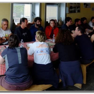
After a very long break with a hearty meal, this time in x weather (deserves!) Cell. 339 4874872 www.rifugioantola.com info@rifugioantola.com - NB: It is always useful to warn in case you decide to have lunch. There is a splendid terrace overlooking Lake Brugneto for a pleasant break with the reasonably priced delicacies prepared by the young, but good, managers, whose hard work compensates for the view of the rather unattractive building...).
The sky is far too dark and we prudently turn back immediately, as the return journey is somewhat different in the final part, ultimately proving a little longer. A short ascent then puts us to the test, given the abundant meal, but without haste and calmly we overcome it. From the Bucci cape (almost 1h), there is an unexpected stop, but the temperature and the pleasant sun are the masters here... We set off again, but it is definitely late... after all, one of our mottos states that 'in the city you run, while in the mountains you look...'. We ignore the morning crossroads (40') and in 25', the route crosses the ridge (1000 m) at the crossroads to the little church Madonna di Pentema. Here an unmarked route branches off for the return to Cerviasca. A further 30', with minimal ups and downs (the route in some places ruined by the rain) you come out again from the village of departure (2h30 ret. slightly longer return route and you can assume about 14\15 km between going and ret.). In the end, weather a little grey at times, but no rain, temperatures not very high. A total of 5h of walking + breaks with 650 m of ascent. diff. E (at the beginning more difficult as there are no symbols and not unambiguous).
Photos of the inspection and excursion:
http://cralgalliera.altervista.org/ValBrevenna015.pdf
http://cralgalliera.altervista.org/CerviascaRifugioAntola016.pdf
NB: in the case of an excursion, always check with FIE, Cai, any park authorities or other institutions, pro loco, etc., that there have been no changes that have increased the difficulties! No liability is accepted. This text is purely indicative and not exhaustive.
Info Hiking Section Cral Galliera: http://www.cralgalliera.altervista.org/esc.htm
trips 2016 at link: http://www.cralgalliera.altervista.org/gite016.pdf
General Information
Trail: from Cerviasca
Signposts: unmarked trail in the initial and final sections, the rest with FIE symbols
Type of route: only partially circular
Recommended period: April, May, October
Sun exposure: West
