Pyramides Calcaires, from La Visaille


Edited by:
Giancarlo Beretta
Updated at: 25/10/2025
Access
Take the A-5 Turin-Aosta motorway and, after passing the Aosta East barrier, continue to the Courmayeur exit; here, follow the signs for Val Veny and drive up the road until you reach a barrier that closes it and where you can leave your car in the adjacent open spaces.
Introduction
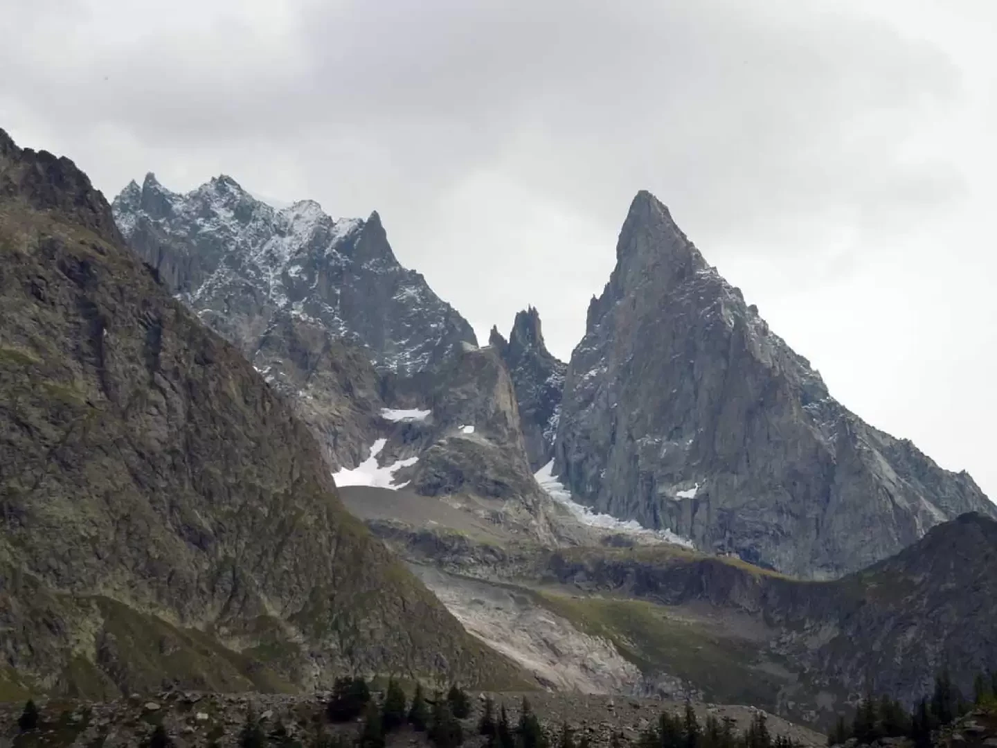
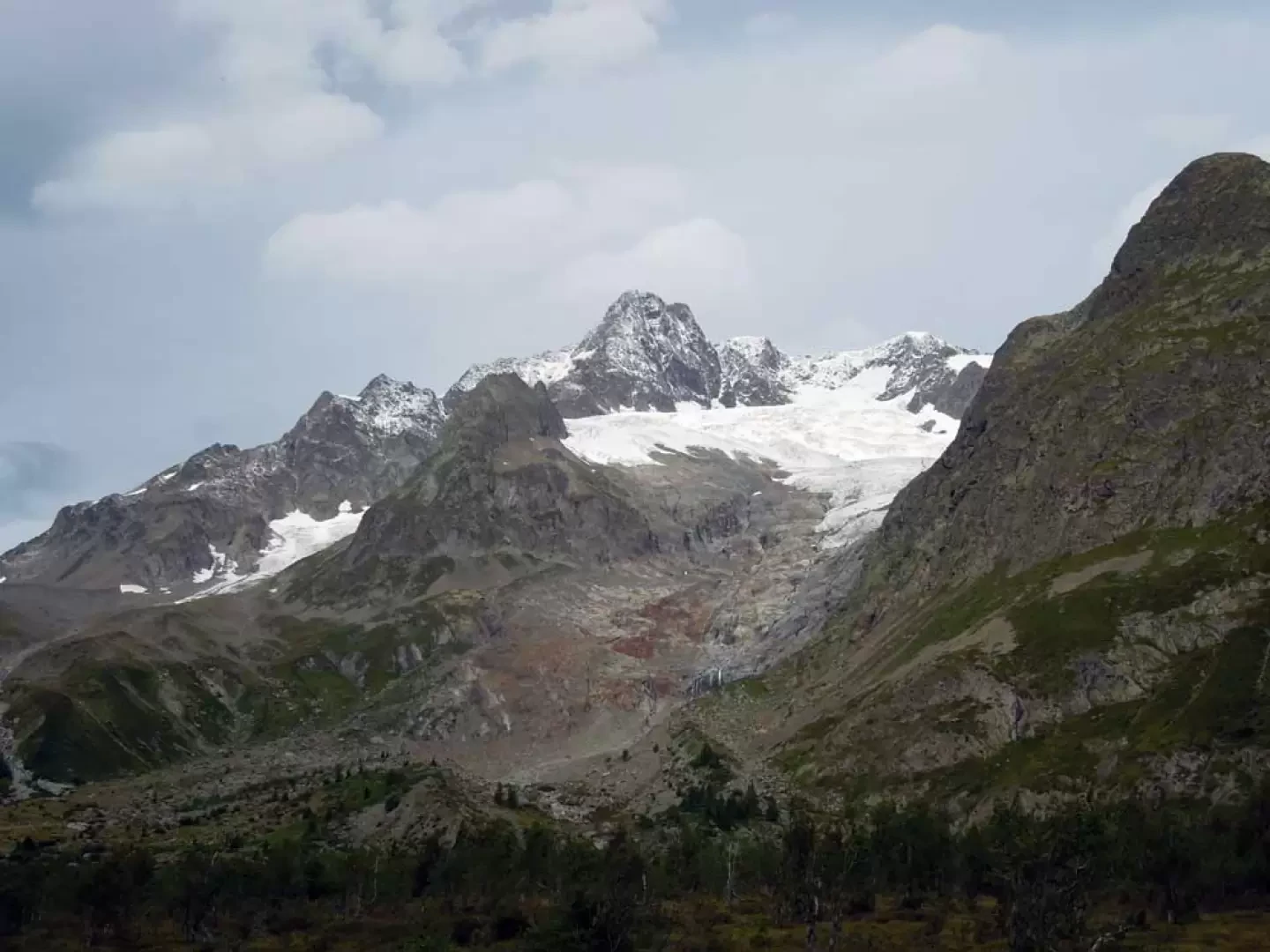
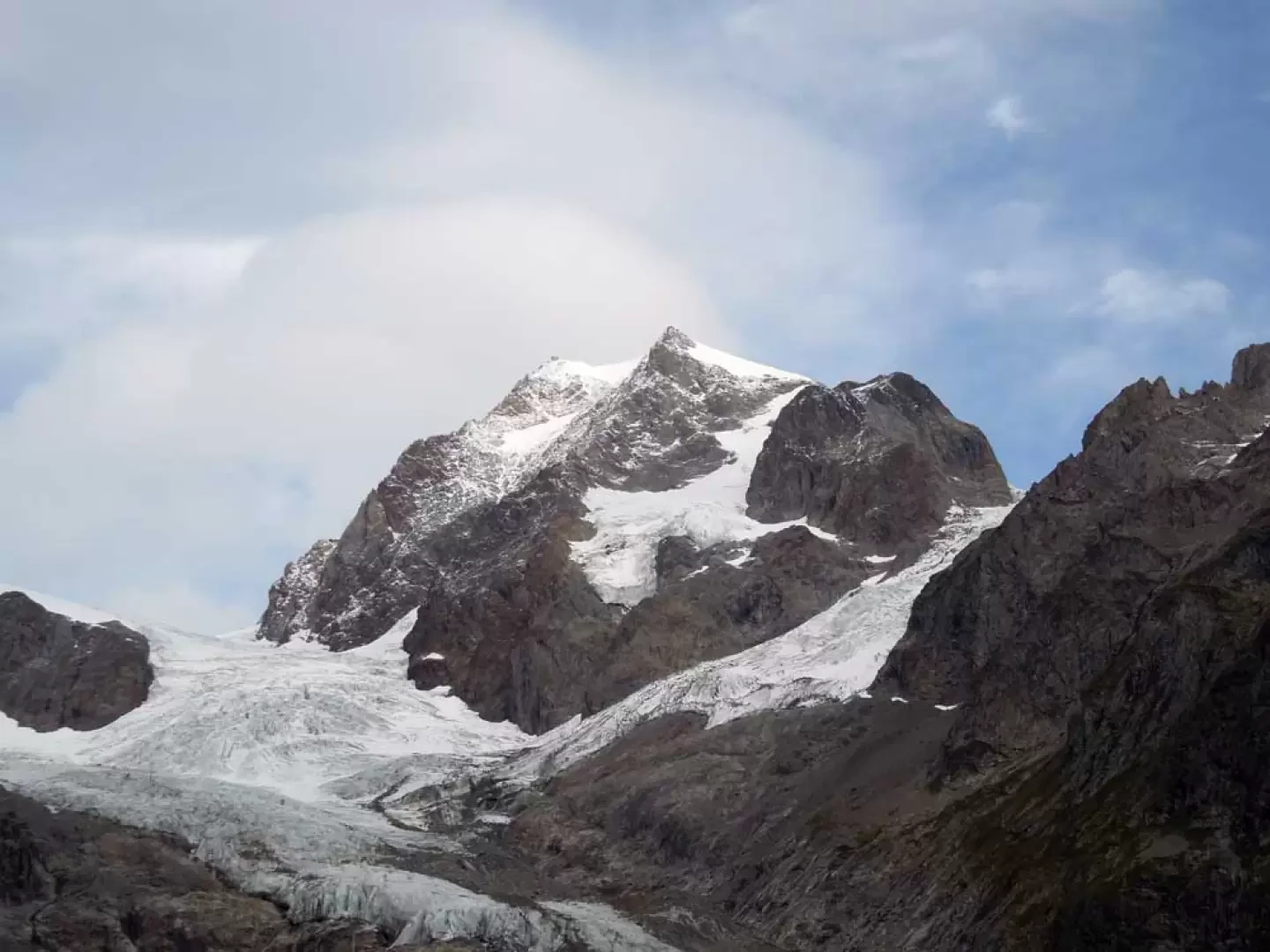
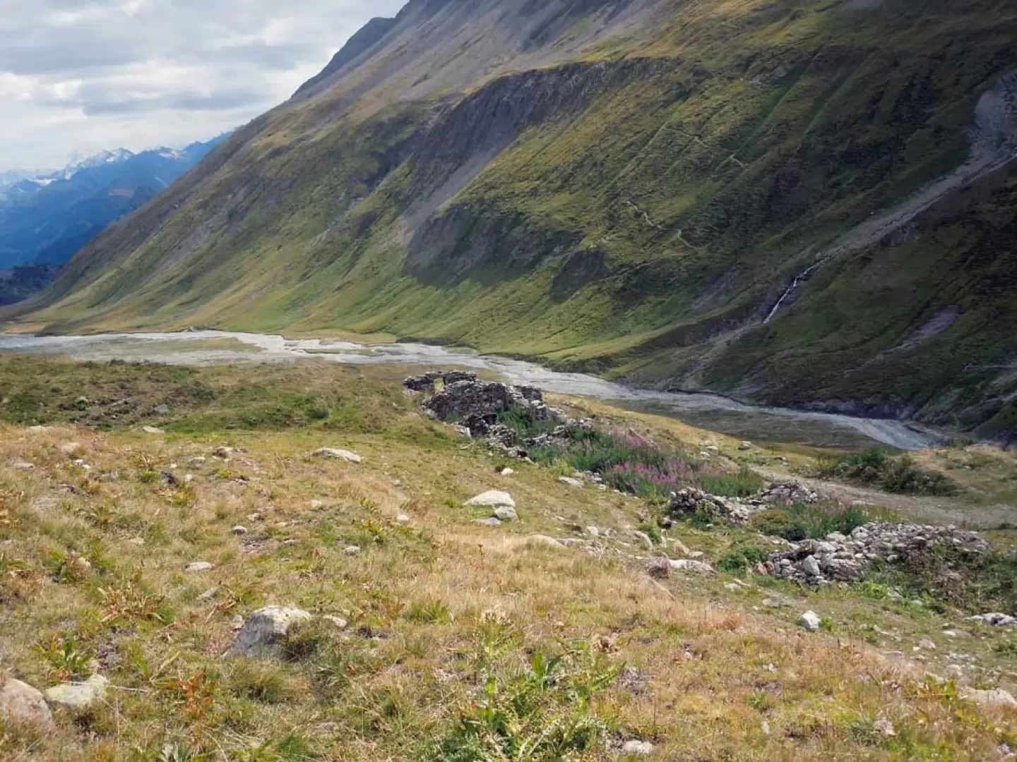
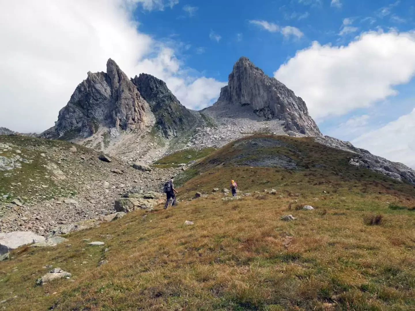
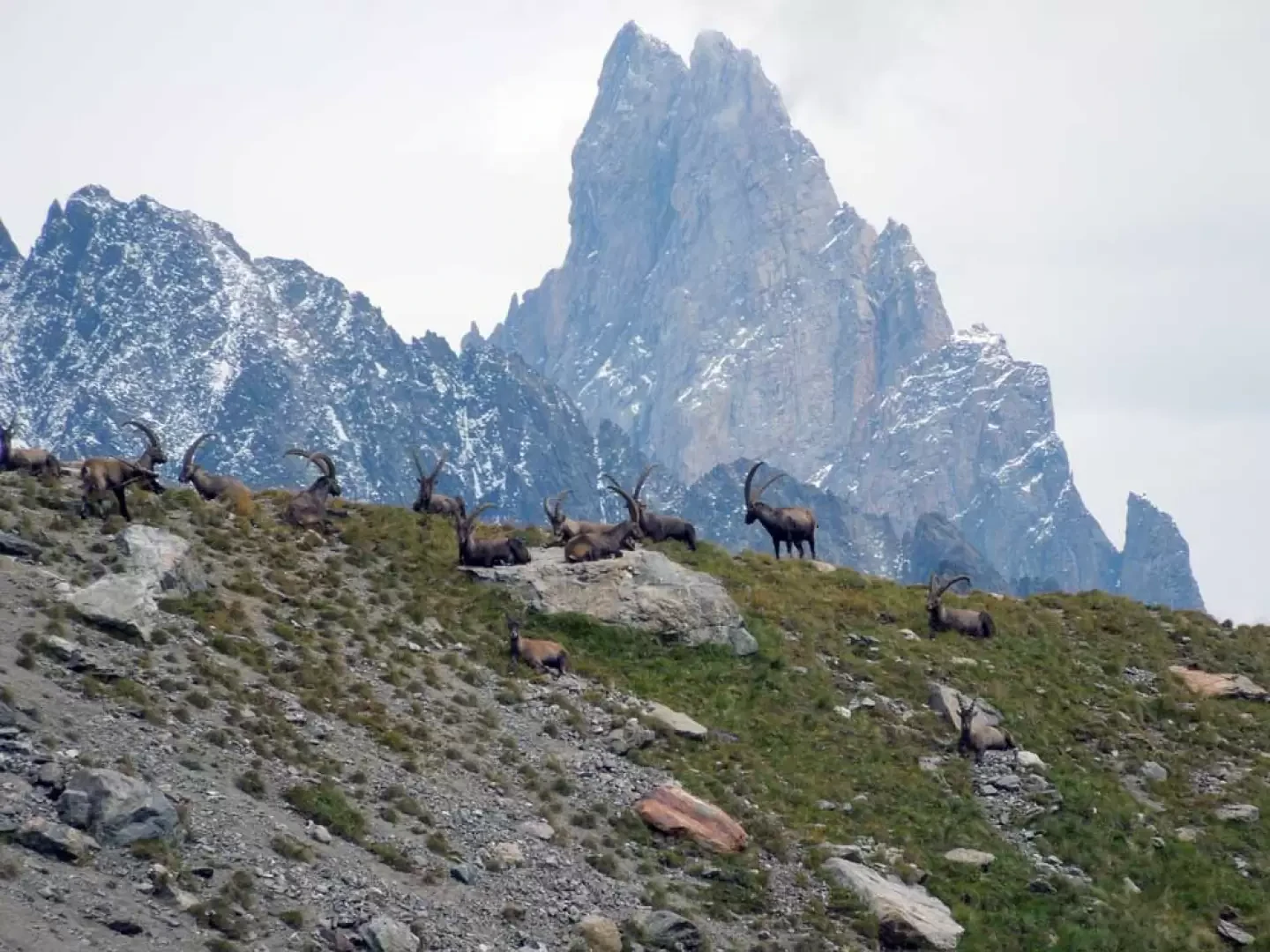
This partially circular excursion takes place in the upper part of the Val Veny valley, which, from the western slopes of Mont Blanc, goes as far as the Col de la Seigne on the French border. Towards the bottom of the valley, the Pyramides Calcaires can be seen, isolated from the rest of the massif: they rise like white rock spires out of the grassy reliefs south of the Aiguille de la Lex Blanche. Their tour, which can be done in either direction, first crosses the high pastures of the plateaus crossed by the Dora della Val Veny and then, as it climbs in altitude, makes us walk in splendid high-mountain environments among scree and moraines where it is easy to spot specimens of alpine fauna. The paths, well signposted and in any case evident, present no difficulty and, especially in the lower part, are very busy with the route that, in addition to offering us views from the various angles of the Pyramides, makes us walk at the foot of large glaciers with beautiful views of the Puterey ridge, the high Miage glaciers and the Aiguilles de Trélatête and la Lex Blanche.
Description
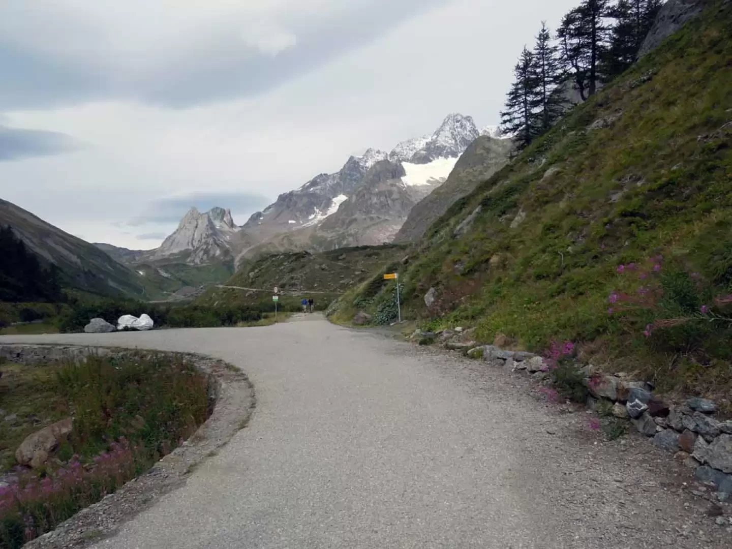
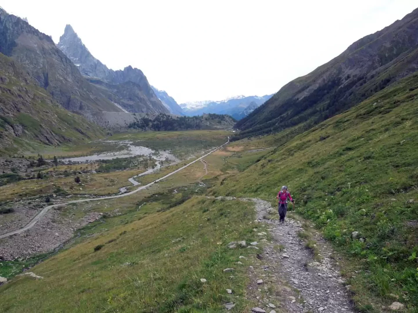
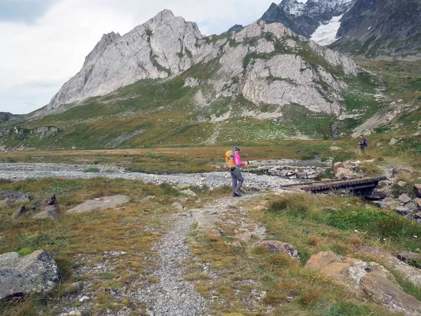
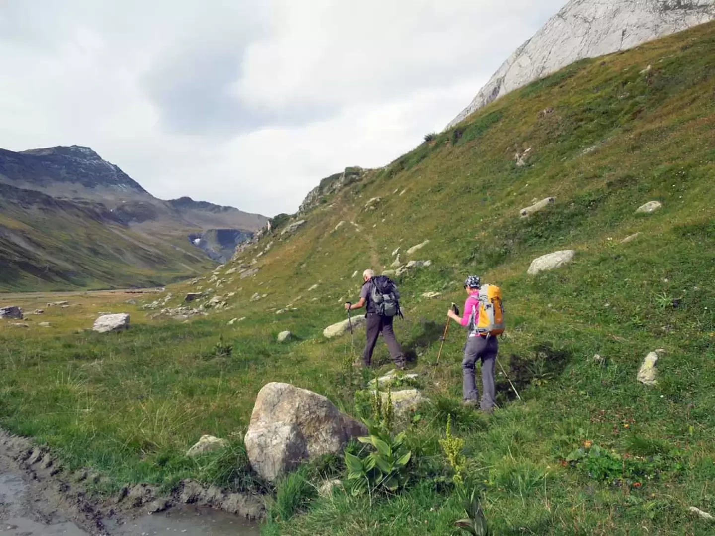
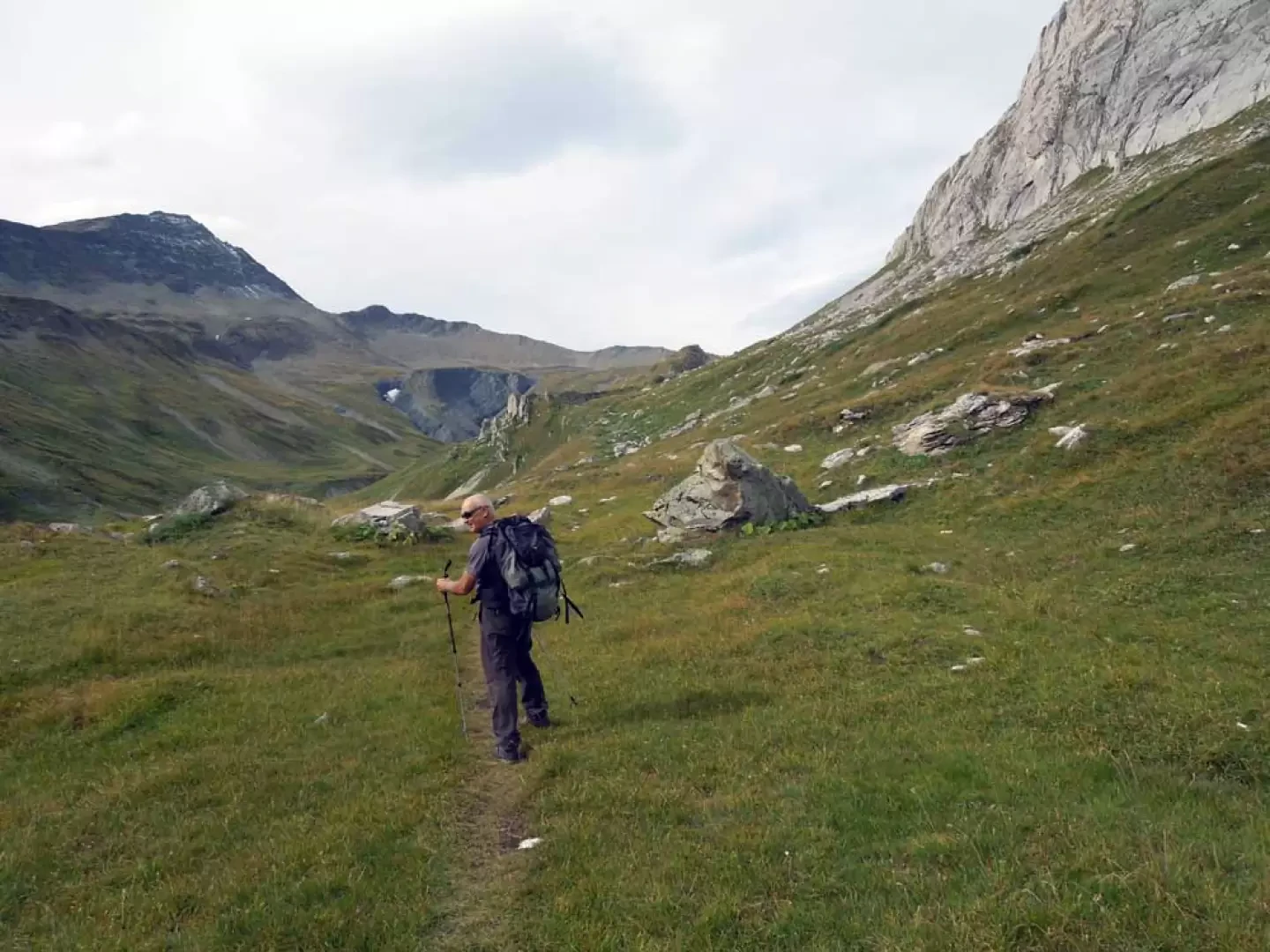
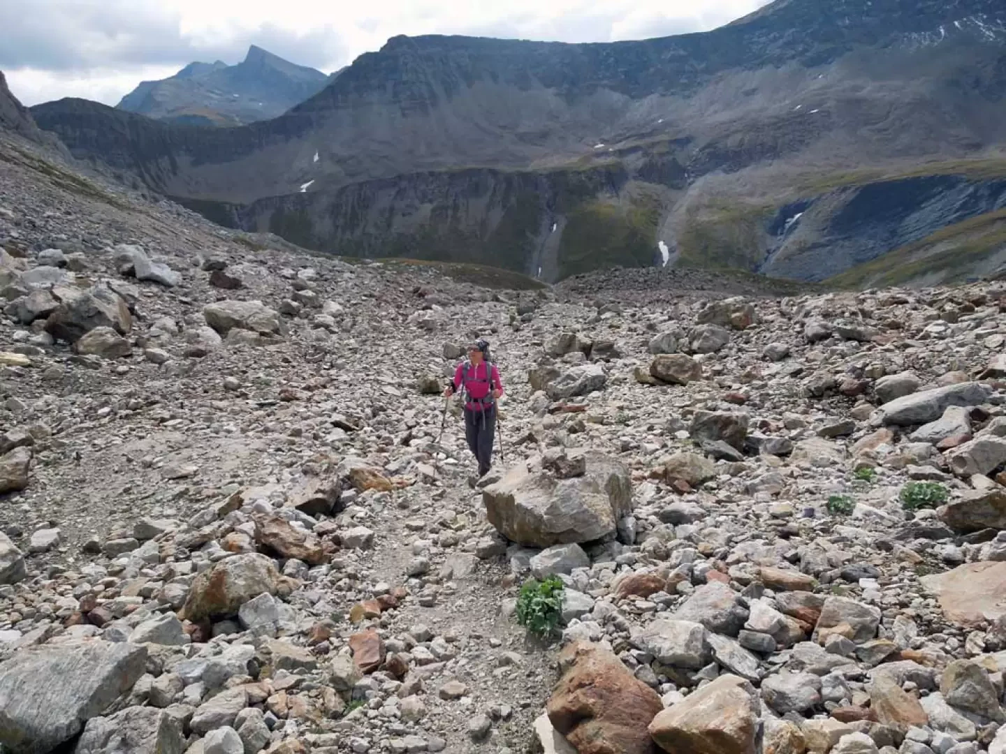
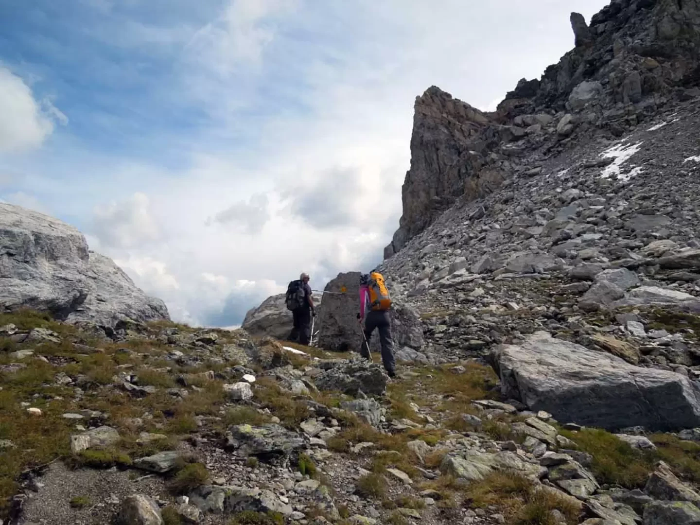
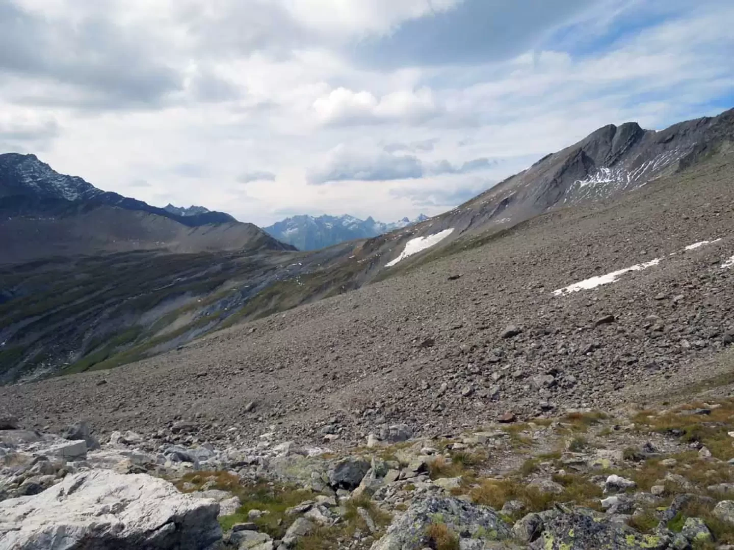
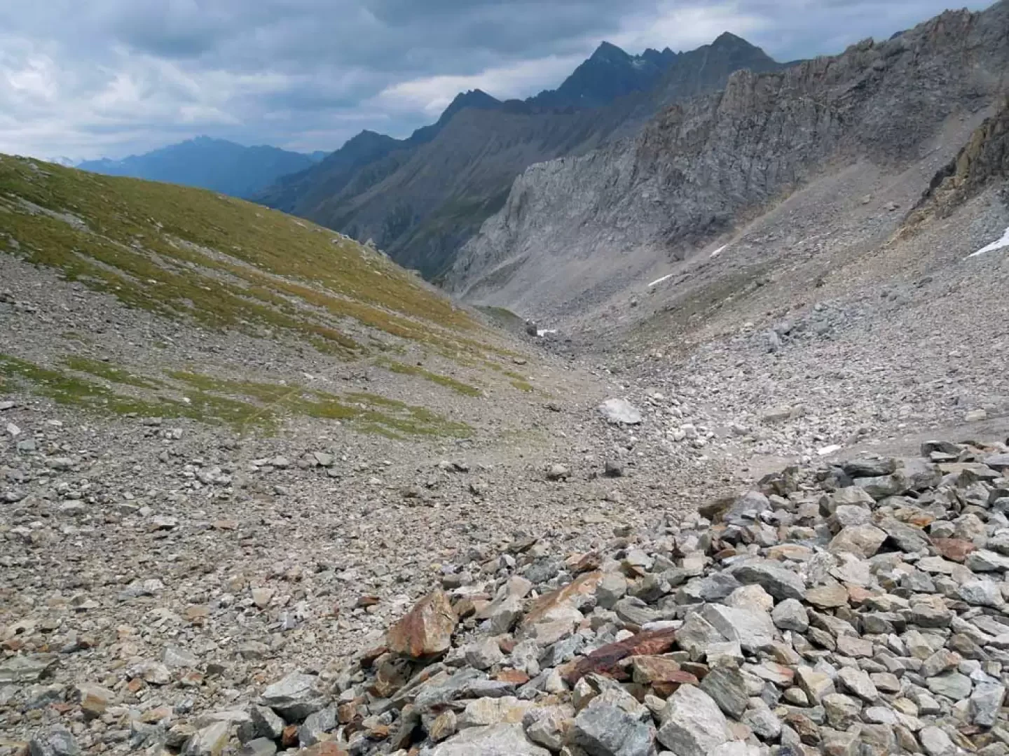
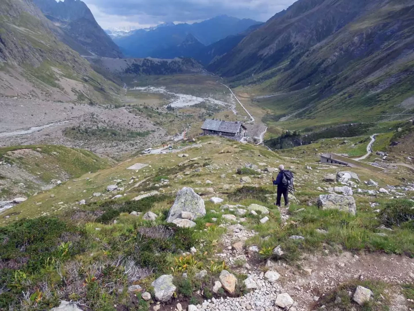
This partially circular excursion takes place in the upper part of the Val Veny valley, which, from the western slopes of Mont Blanc, goes as far as the Col de la Seigne on the French border. Towards the bottom of the valley, the Pyramides Calcaires can be seen, isolated from the rest of the massif: they rise like white rock spires out of the grassy reliefs south of the Aiguille de la Lex Blanche. Their tour, which can be done in either direction, first crosses the high pastures of the plateaus crossed by the Dora of Val Veny and then, climbing in altitude, makes us walk in splendid environments typical of the high mountains among scree and moraines where it is easy to spot specimens of alpine fauna. The paths, which are well signposted and in any case evident, do not present any difficulty and, especially in the lower part, are very busy, with the route not only offering us views from the various angles of the Pyramides, but also making us walk at the foot of large glaciers with beautiful views of the Puterey ridge, the high Miage glaciers and the Aiguilles de Trélatête and la Lex Blanche. Description From the barrier, you arrive at the first bend from which you continue straight into the forest to take a short short cut that cuts across a couple of hairpin bends and then continue on the road that continues to the right (orographic left) of the Dora della Val Veny; skirting a long moraine and after a couple of kilometres, you arrive at a fork (1947 m) where you ignore the little road that continues straight on and, turning left, cross a bridge and pass onto the opposite side of the valley. As soon as you cross, you pass a fork with a path that branches off to the left (1953 m) to continue straight ahead to the left of Lake Combal; With an almost flat and straight course, you come to a fork with a track that goes off to the left (1985 m) and, after taking it, you rise gently up the grassy slope arriving at another upper plateau where, ignoring the path that continues to the left (2146 m), you immediately cross a bridge to the right and then, at the nearby fork (2150 m), take the wide mule track that continues to the right (orographic left) of the valley. After a hundred or so metres, take a track to the right (2158 m) to almost immediately intercept a path coming from below, which you take to the left; this continues halfway up the slope on grassy ground, without an excessive gradient, between the plateau and the base of the Pyramides and, with an undulating path, climbs slightly, passing several humps on the right and on the left. Leaving aside a few tracks that branch off to the right along the path and reach the climbing perches, a last hump is crossed on the left to reach the ruins of Tsa de la Lex Blanche (2,293 m); here, continue on the path that climbs more decisively to the right and, after a traverse uphill, leads below the rocky walls of the Pyramides. Walk for a short distance on stony ground to arrive below the rock walls at an altitude of about 2364 m, where you turn sharply to the left (cairn) and begin a traverse that takes you around the pinnacles, then up a grassy ridge and under their western slope. Bending to the left, with the trail always clearly visible and aided by numerous cairns, cross a large scree slope to reach a low grassy ridge, after which you re-enter the scree slope at the top of which you reach the lower col of the Pyramydes Calcaires (2579 m), the highest point of the hike and where you will find a yellow marker on a large stone. From the wide depression, go down the path on the opposite side, following the yellow marks on grassy terrain at first, but then, as you approach a long moraine that you cannot reach, it becomes stony and loses height with a few bends in a wide gully. Descend the long gully to reach a place where the terrain becomes grassy and pass a fork (2384 m) after which, walking on a grassy ridge or in the hollow to the right, you will reach the Elisabetta Soldini hut below. When you reach the refuge (2207 m), descend from it on the dirt track or on the path that cuts through it in several places, taking you to the plateau below and finding the road that takes you back to the starting point.
.Photo gallery


Comments (0)
Sign in to leave a comment