Punta Cristalliera, from the Selleries Refuge


Edited by:
Stefano Alberto Malan
Updated at: 22/05/2025
Introduction
A popular, varied classic route with panoramic views where, with a bit of luck, you can spot chamois, marmots and various bird species.
Description
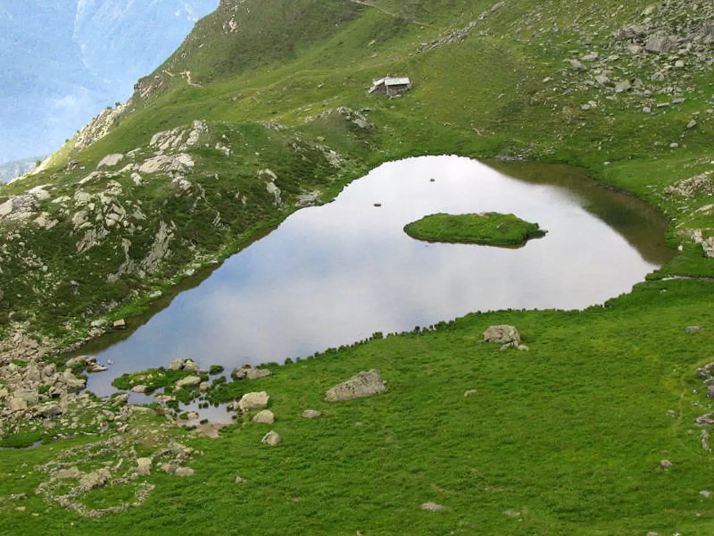
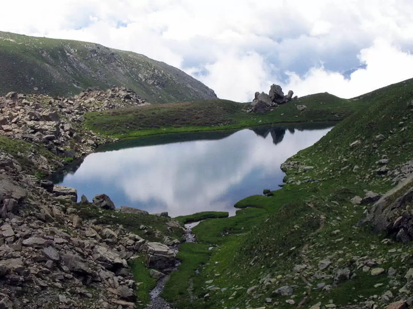
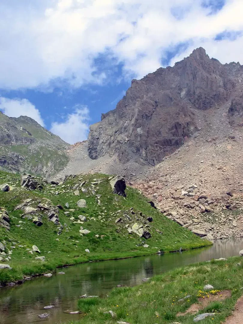
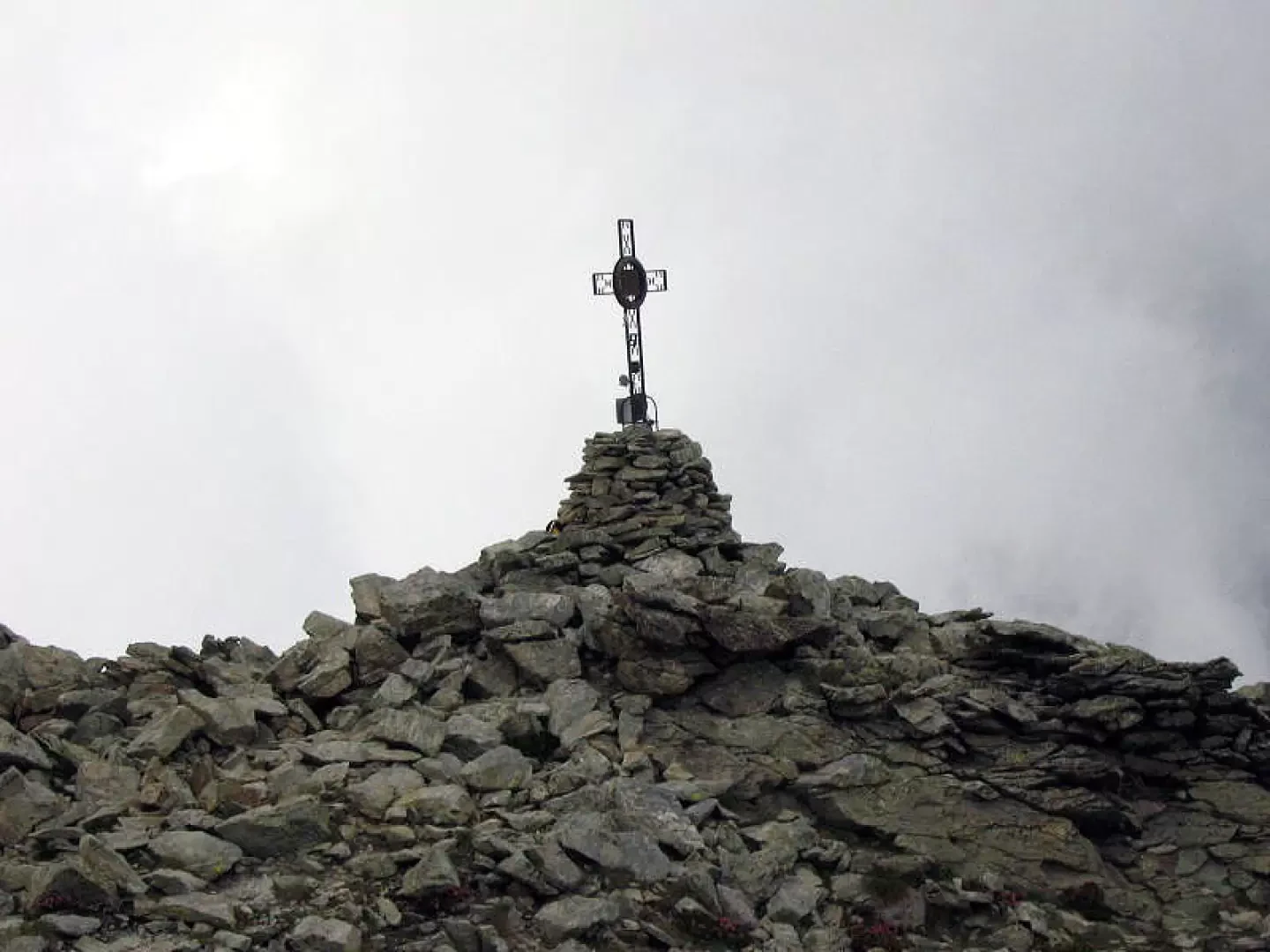
From Rifugio Selleries (2023m), take path [339] which shortly after crosses a stream and climbs a steep slope from the top of which you turn left following a small ridge. Turn right and take a long, slightly uphill half slope, at the end of which you will find the Bergerie del Laus (park ranger's hut) and Lake Laus (2259m). Beyond the lake is a small waterfall, pass it and you will reach Lake Laus (2365m). Walk along the left side of the lake and continue along an area of meadows with boulders, after which the path begins to be very steep and on stony ground, finally reaching the Colle superiore di Malanotte or Colle della Cristalliera (2680m) passing over large boulders. From the pass, turn right along the final slope along tracks over scree and a few small boulders.
.Photo gallery
Comments (0)
Sign in to leave a comment