Pizzo Scalino, from the Castagneda car park

Edited by:
Marco Bonati
Updated at: 17/11/2025
Introduction
An alternative and very strenuous route to the classic ascent (http://www.inalto.org/relazioni/alpinismo/pizzo_scalino) of Valmalenco's most popular peak. The changed conditions of the glacier traversed by the normal route - now with a mixed section to reach the saddle at the base of the peak - lead to the search for itineraries forgotten for decades: this described, not technically difficult but exposed and delicate due to the quality of the terrain, is in fact the route of the first Italian ascent and the second absolute. Needless to reiterate the panoramic qualities of the destination: all the Valtellina mountains from Disgrazia to the Bernina group, Ortles and the wild Ron-Painale group....
Description
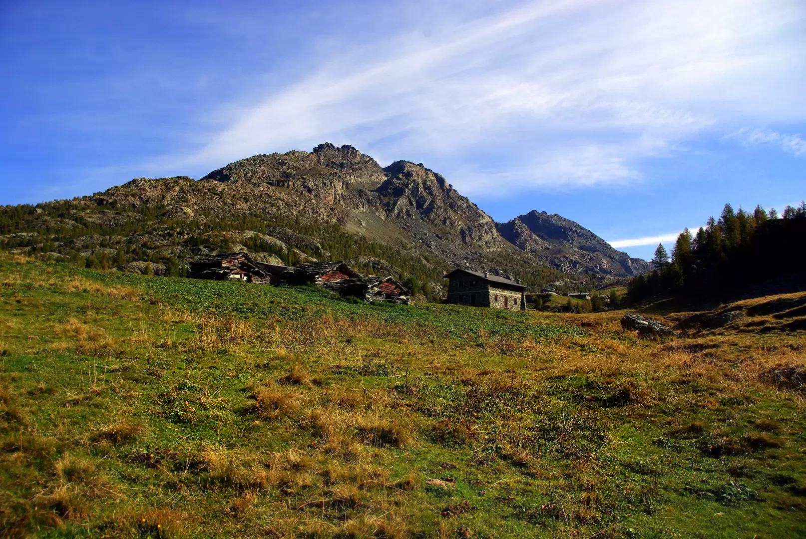
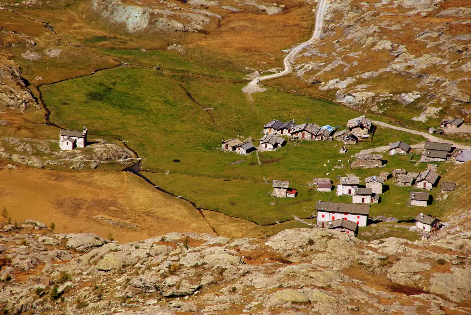
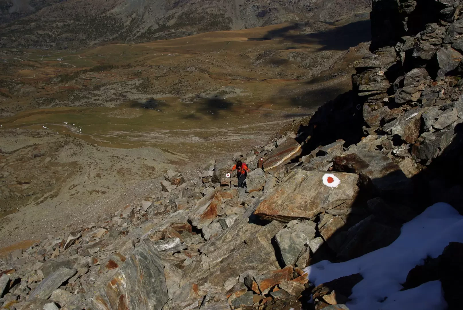
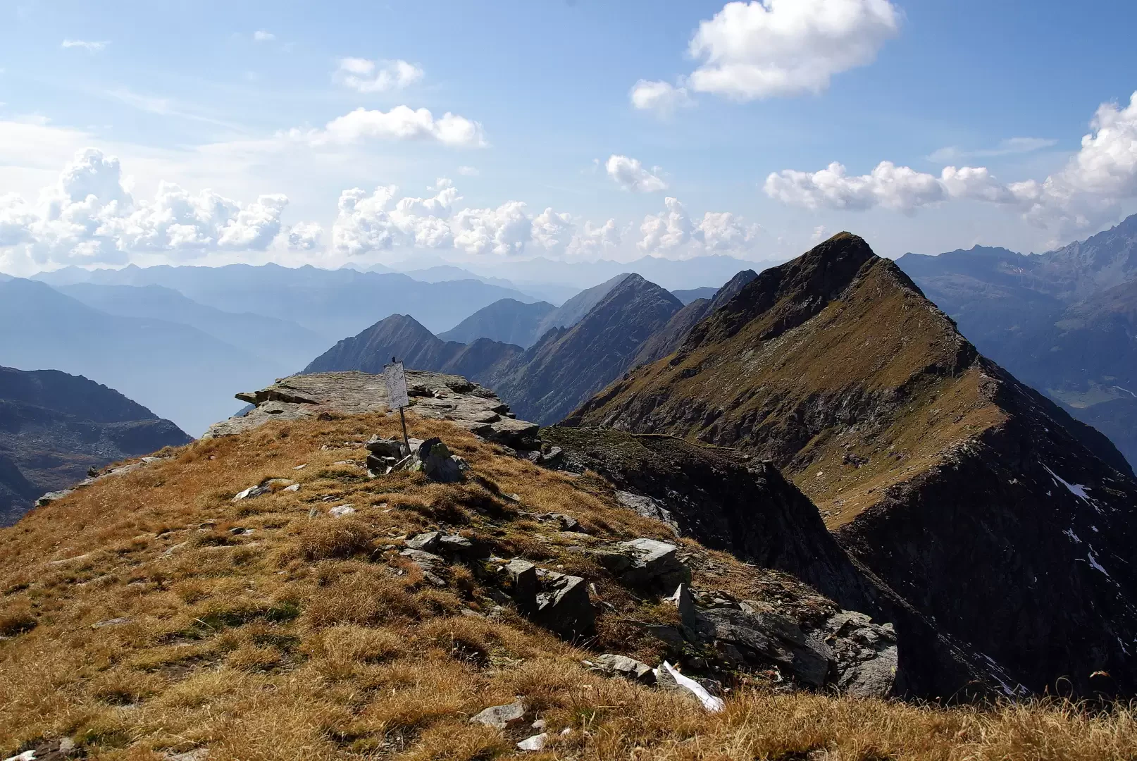
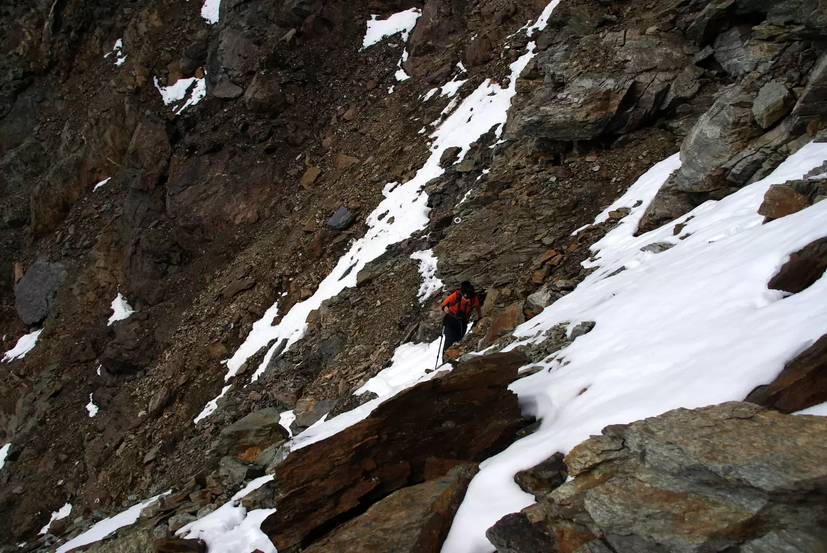
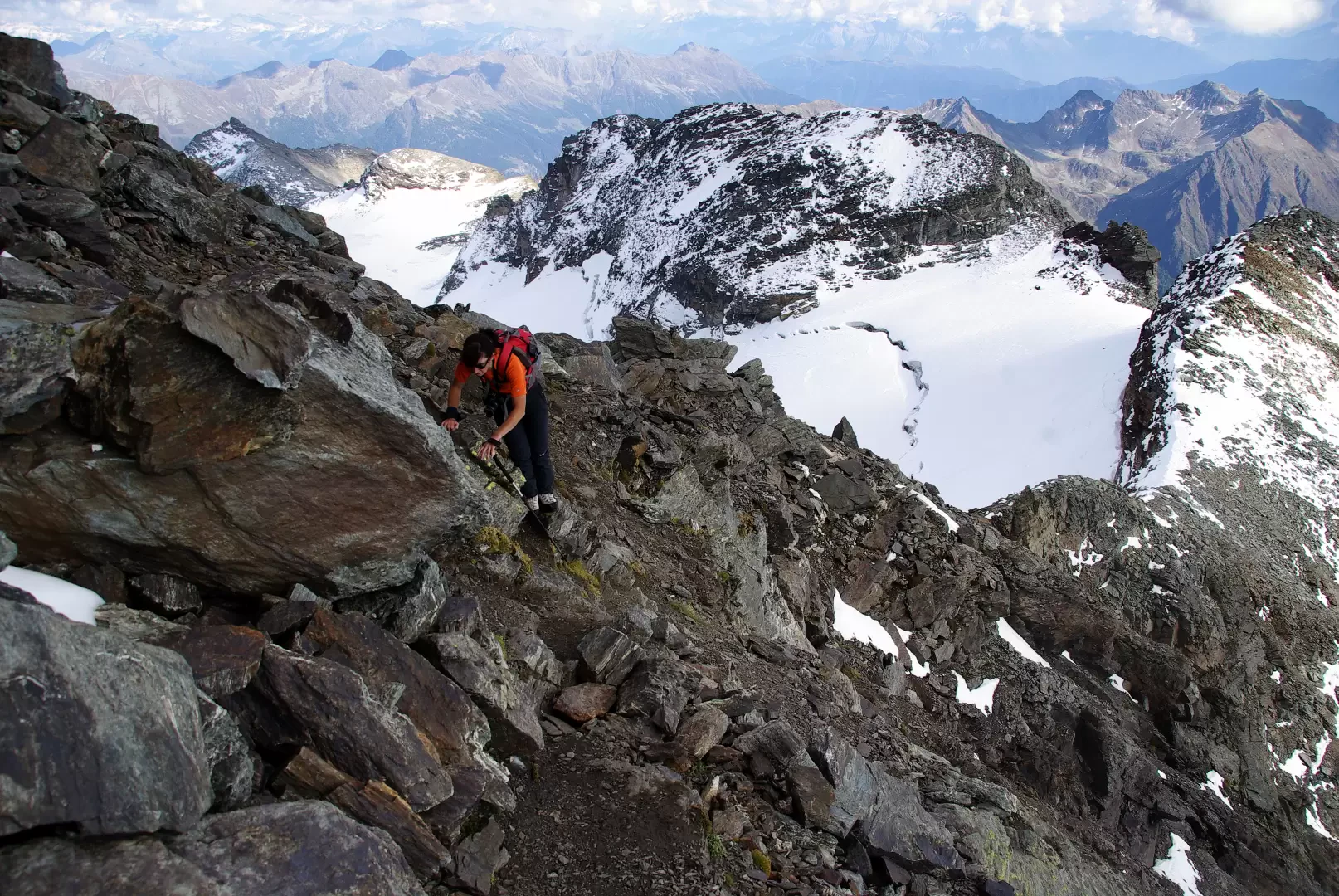
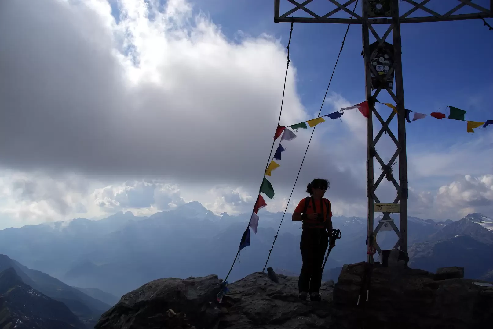
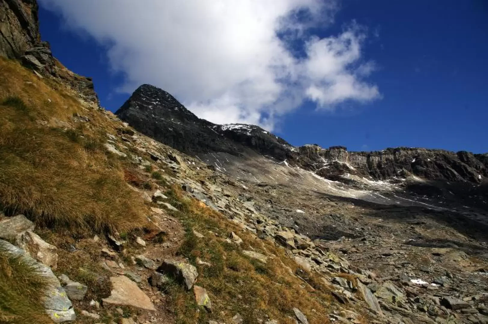
From the permitted end of the forest road to Campagneda 1950 m approx., follow the cemented track or, more briefly, its shortcuts, to the Campascio plain. Here, a small path through the pastureland branches off to the right and leads to the stony mule track to Rifugio Cristina: alternating between uphill stretches, marshy areas and stretches of carriage track, you reach Alpe Prabello (http://www.inalto.org/relazioni/escursionismo/alpe_prabello). From the terrace of the mountain hut, follow the signs of the Alta Via della Valmalenco to the pastures of Piano dei Cavalli to the left. Faint signs near a post of the Sentiero Italia indicate the direction of the track to the Passo degli Ometti: the route is very steep and tiring, alternating stretches with faint signs of passage in the scree with long paths between uneven boulders and frequent landslides. It is essential to follow the sparse painted signs. When you reach the meagre pastureland of Passo degli Ometti 2758 m, you enter the basin of the upper Val Painale; continue to the left with a gently ascending and increasingly stony traverse to the terminal basin (approx. 2950 m) at the base of a gully adjoining the saddle that joins the normal route. The gully, stony and wide at the base, narrows to a few metres at the top: it is very steep, gravelly, muddy and holds avalanche snow for a long time. Proceeding sometimes finds help in the fragile rocks of the banks. When the saddle 3223 m is reached, the trail leads towards the summit: depending on the amount of snow, various routes are possible, more or less direct and more or less rocky (never more than grade II). The summit of Pizzo Scalino 3323 m is a vast accumulation of blocks dominated by a metal cross facing the valley floor. Return along the outward route, paying particular attention to the unstable gully and landslide blocks below Passo degli Ometti.
Galleria fotografica