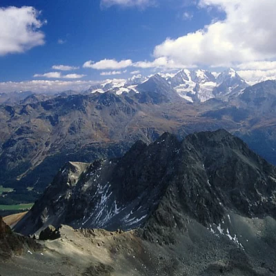
Piz Julier

Access
From Milan to the Maloja Pass in Switzerland and on to Silvaplana; here take a left to the Julierpass. Shortly before the pass, where the high-voltage power line crosses the road, park on the small lay-by on the right-hand side (Alpe Guglia). A blue-white signpost marks the start of the route, recommending it only for experienced hikers.
Introduction
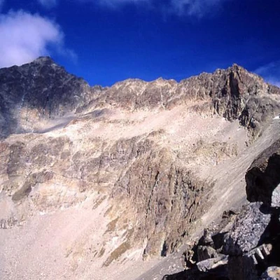
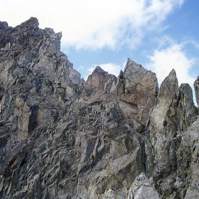
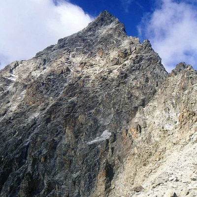
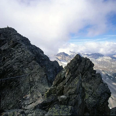
The Piz Guglia (or Piz Julier) is the mountain that dominates Sankt Moritz, on the other side of the Bernina range. It is a real turreted castle, seemingly inaccessible, but on the SE side of the mountain there is an incredibly well-equipped path, which runs along the ridge and part of the S face. Looking at the mountain from the Fuorcla Albana, it seems impossible that it can be climbed without too much difficulty, but this is actually the case: specially placed stone slabs widen the ridge where it would otherwise be too sharp, handrails and chains provide safety even where it would otherwise seem superfluous, and the route snakes along ledges and channels, always well marked. Just don't suffer from vertigo and wait for the mountain to clear of snow. Up there, you can find a multitude of hikers, including Japanese, Americans ..., the same ones who spend their holidays in Sankt Moritz. The view from the summit over the whole of the Engadin is beautiful, but the trip is strangely not very well known to Italian hikers (and almost never mentioned in our specialised publications on the area).
Description
After an initial short stretch slightly downhill between large boulders, climb up the steep moraine and enter the Albana gorge, which becomes slightly sloping after bending to the right. The narrow incision of the gorge below the fork is overtaken by the path with an ascent and descent on the steep left-hand side (but it is better to walk along the large boulders of the incision itself in order not to lose height difference). With a steep ascent over fine detritus, you finally climb back up to Fuorcla Albana, where the path coming up from Sankt Moritz also arrives. All that remains now is to walk along the long ridge along the well marked equipped trail. The blue-white marks must not be missed in order not to find oneself in complicated situations immediately; incidentally, in the sections with shifting detritus, the path follows the firmer flanks, where you will also avoid dropping stones on the hikers below. The ascent is exhilarating: it always seems impossible to continue, but instead the path proves to be extremely easy and the chains and handrails are largely superfluous (difficulty grade I at most). After the first part on the ridge, you reach a small gap, pass for a few metres on the shady N side (overlooking the gloomy glacier) and then return to the south side of the mountain, which is very steep, but which is traversed by a series of ledges and gullies up to the last aerial ridge section (with handrail) that leads to the terminal scree of the summit. Great views.
