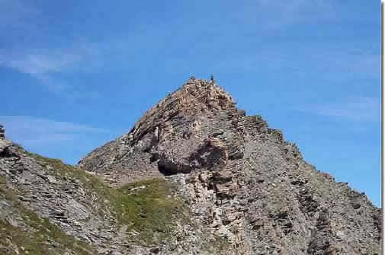
Pic de Foréant

Introduction
Magnificent ridge hike, mostly above 3000 m. It is little frequented as it is off the usual routes.
.Description
We start from the Agnel refuge, located near the French-Italian border between Casteldefino and Molines in the Queyras, at the foot of Monviso. You walk along the GR58 towards Col Vieux for ten to fifteen minutes and then turn left along a well-marked path. The Col de l'Eychassier is clearly visible to the north and is reached after an additional hour or so of walking. The final part of the ascent is a little steeper. From the col, where the Eychassier lakes can be seen, fork left and take a clearly visible path to the crest. From the crest, the path becomes narrow, at times a little airy, at times a little dizzying: there are no particular difficulties, but these sections can be a little impressive. We reach a first peak, at 3027 m, and then the Pic de Foréant (3081 m, 2h15'). There is little space on the summit, but you can enjoy an extraordinary panorama. We descend on the other side of the ridge following a somewhat less difficult path that leads us to the northernmost of the Eychasssier lakes. We then reach the roof of the Foréant stream, which we follow to the Foréant lake. From the lake, take the GR58 again on the right that climbs up to Col Vieux (2806 m) and from there descend to the Agnel hut (2580 m, 4h00').