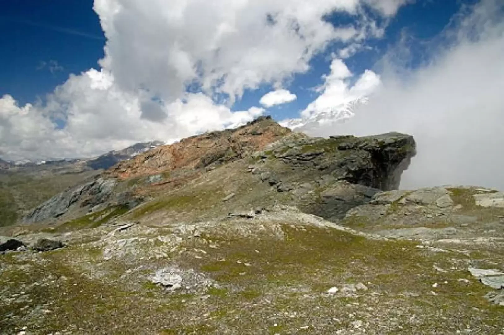
Zube Pass, from the Gabiet cable car

Introduction
The proposed itinerary leads to the "kilometre-long" trenches and walkways erected at Zube Pass during the First World War. The constructions were built dry with schist stones, also with the help of local women and teenagers. Turrets, observation posts and caves for shelter and protection completed the work. Given the degree of preservation, the environment is definitely impressive.
Description
Starting from the arrival of the Gabiet six-seater, you climb up the slope until you reach the halfway point of the 'piston' from Salati. On your right you will see a gap opening up between the mountains. Leaving the track and approaching that gap, you will see an excellent signposting system maintained by the Alagna guides and characterised by red and white flags. The only difficulty is in finding the entrance to the path, but in any case just look for the opening between the two chains on the right halfway along the widest and best known section of the track. Once you have found the signs, climb up for a first stretch to reach the plateau, skirting a small stream. When you reach the plateau, keep to the left, turning towards a saddle (Zube pass) beside a rocky pyramid (Straling prepunta). Climb up along the stream to the summit. As soon as you arrive, you will see Alagna and the Vallone di Otro in front of you. To the left, from the rocky peak, the Guglielmina. It is common to see large clouds gathering around the Straling. You need not worry, as they hardly manage to get over it and generate characteristic white swirls that, on their own, are worth the hike. Behind you, in the Gressoney valley, you will see Lake Gabiet above the Netzscho. For the descent, I recommend using the same route, as the path down to Gabiet is very exposed and covered with the usual slippery sand. Only walk along it to the opposite end of the Zube valley at a small lake (no numbering) if you do not have children with you.
Author
- See all hiking reports by Luca Vezzaro
, from Gabiey