Monte Orsa


Edited by:
Paolo Erba
Updated at: 03/07/2026
Introduction
Monte Orsa and the neighbouring Monte Pravello offer several border routes with Switzerland indicated to observe the remains of the Cadorna Line, a fortification erected during the First World War in fear that the Germans would invade Switzerland despite their neutrality, and from there Italy.
Description
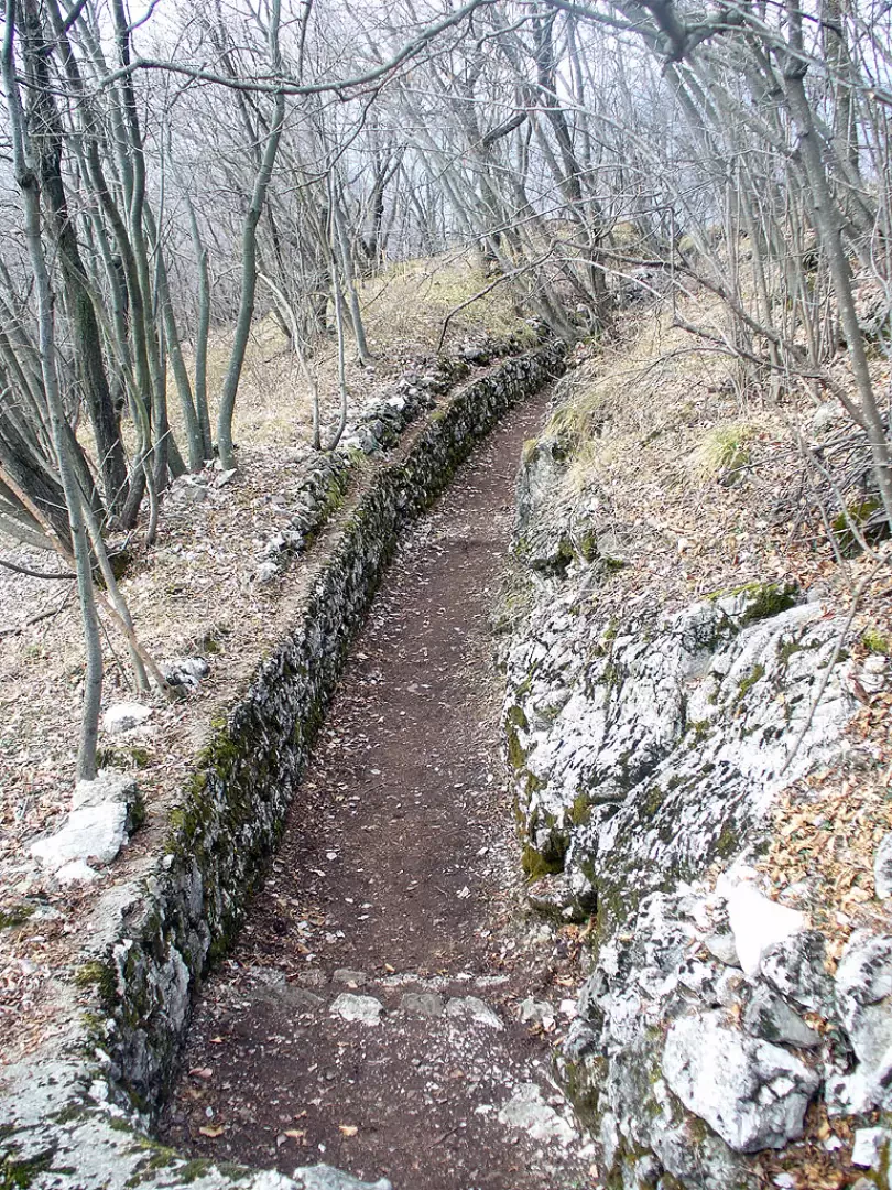
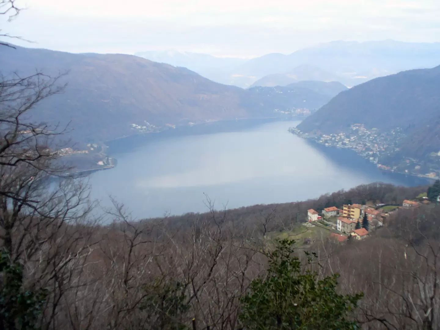
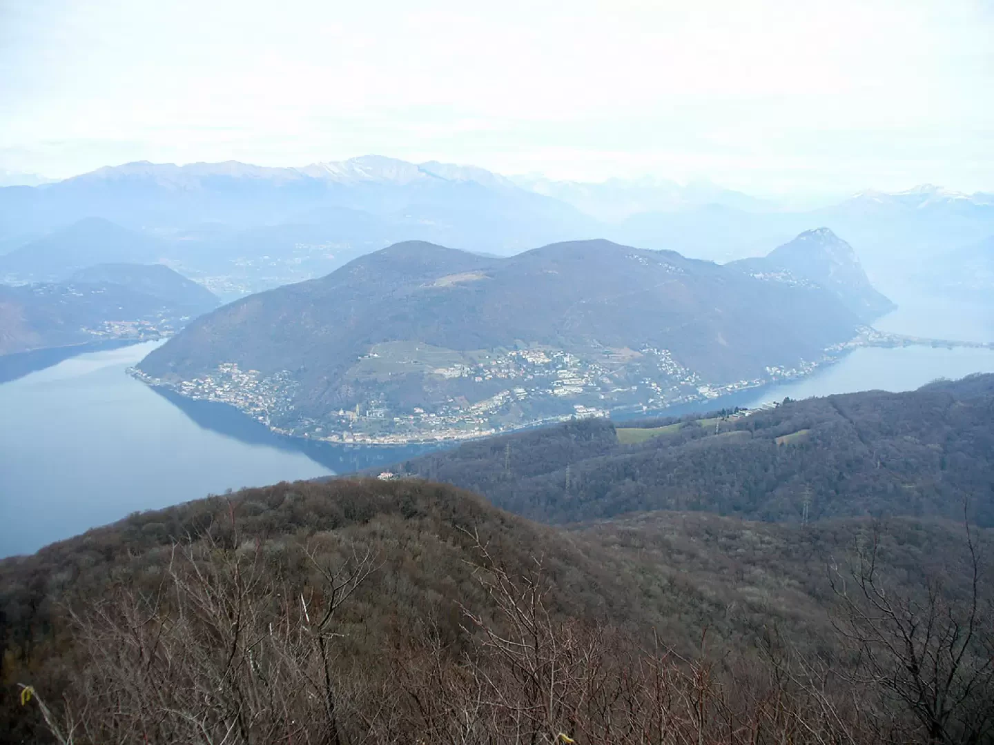
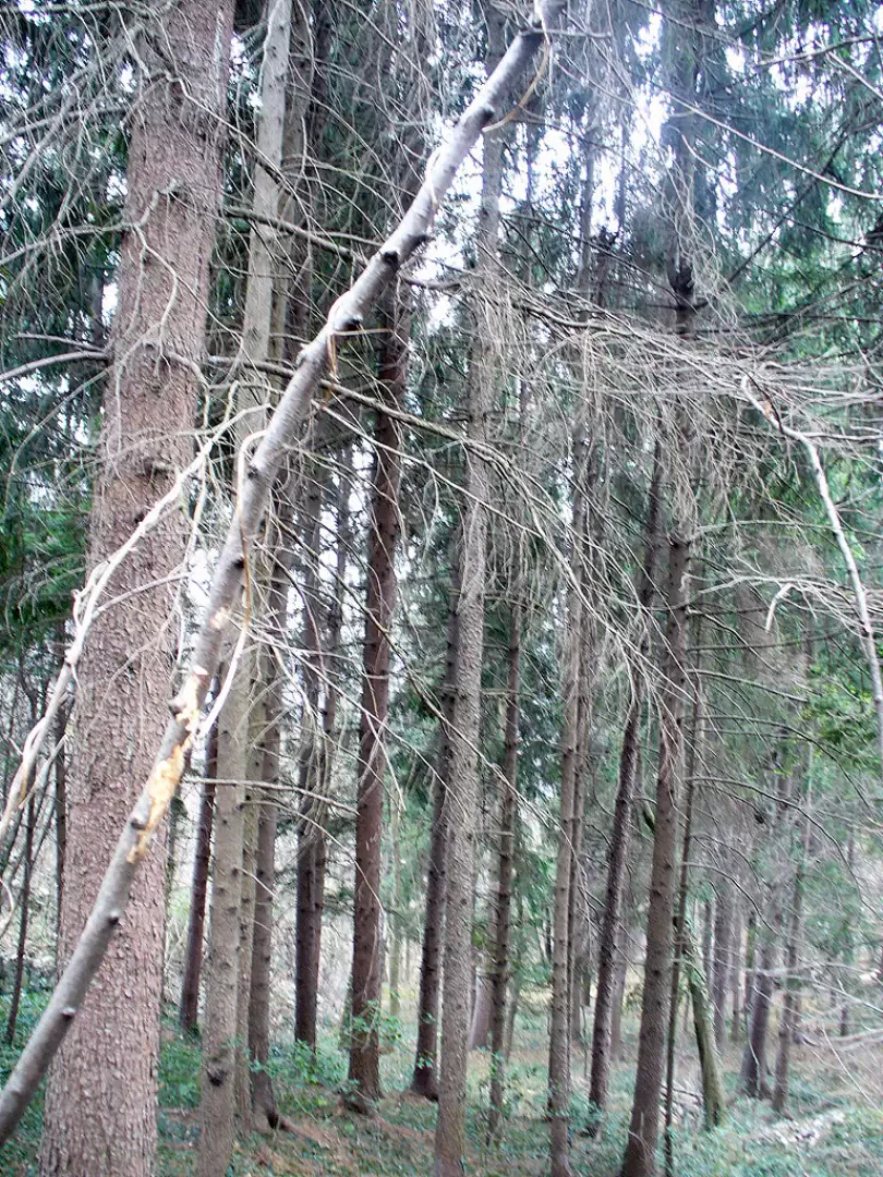
From the station, follow the lakeside promenade to the main square. You then follow via Garibaldi, signposted, and shortly uphill you leave the village. At a fork in the road, go left (signposted) and follow what remains of the beautiful mule track that climbs through the woods in the direction of Cà del Monte. When you come out on the tarmac road (avoid the previous fork to the left for a phantom viewpoint), turn left to arrive shortly at the hamlet. From the centre of the hamlet, turn right onto Via Serpiano (vignette) and so return into the woods until you come to a fork where you leave the track for Serpiano (small village in Switzerland) and turn right (signposted Monte Casolo). We are now in a mixed forest of chestnut and beech trees. In a few minutes we come to a perilous bridge, which we bypass by fording the stream and continuing straight on until we come to a fork in the road, which indicates Monte Casolo to the left. We ignore the sign and go straight on until we come to a carriage road. Here we take an uphill road (signpost for Viggiù eaten by beech trees!). Lots of holly trees keep us company, some very large and beautiful when in bloom. We now come to a fork where we must turn right, entering a dirt road at high altitude that is very beautiful for the views that begin to open up over Lake Lugano and for the flowers. We thus reach the fork where a right turn sends us towards the summit of Mount Grumello where, in addition to the panorama, we can begin to admire the works of the Cadorna Line. Having made the diversions (40 minutes round trip) and returned to the crossroads, we continue along our route for a few hundred metres to the old military road that climbed to Pravello. We then take a left uphill. With regular hairpin bends, we gain height until we reach the beautiful wood below the summit. Here we find the signpost indicating the summit in 15 minutes, but it is a decidedly steep quarter of an hour. The effort, however, is repaid by the wonderful view of the lake with the snow-capped mountains in the background. From the summit we descend about ten metres to the carriage road below, from where we begin to follow the signs for Monte Orsa. Following the signs, we follow the entire route of the tunnels and trenches to the tunnel below the summit of Monte Orsa. When you reach the asphalted road, you can either climb in 5 minutes to the summit of Monte Orsa defaced by a few repeaters, or follow the signs for Viggiù and then make a traverse (there would also be the possibility of returning to Porto Ceresio but you must allow at least 30 minutes for the final asphalted road) or, it is advisable to take the outward route and make the return journey as well.
General information
Path:
Signpost:
Type of route:
Recommended period:
Exposure to Sun:
Objective Danger:
Exposed Trails:
Useful Equipment:
Photo gallery
Comments (0)
Sign in to leave a comment