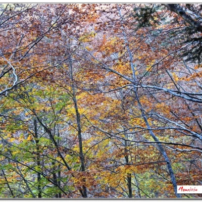
Monte Aiona, from the Casermette del Penna
Access
From Rezzoaglio (from the Lavagna motorway exit), go up towards Santo Stefano without reaching it. You turn right for Amborzasco and proceed further on. You leave your car at the large car park of the Casa forestale del Penna.
- How to get there with GMAPS
- How to get there with Mappe Apple
Introduction
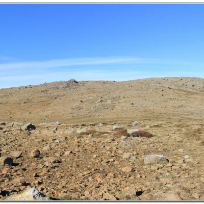
The Aiona is one of the highest mountains in the Ligurian Apennines and the excursion takes you through stupendous fir and beech woods; at the higher altitudes, you cross vast meadow areas, for a varied and very interesting tour. However, attention must be paid to the fact that, given the location, the weather can be very changeable, with sudden fog. The almost flat terrain without landmarks complicates life in bad weather, and the magnetic anomalies of the rocks make compasses unreliable...
Description
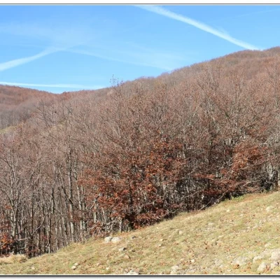
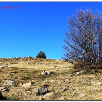
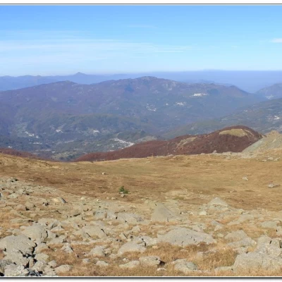
From the forecourt of the Casa forestale del Penna (1387m), head back a few dozen metres until you come to a dirt track that climbs to the left to the Passo dell'Incisa (20' - 1468m). The pass is a junction with several paths, and the Alta Via is chosen on the right as it climbs among the trees. We continue, mainly through the beech forest, to the Passo della Spingarda (60' - 1551 m). Here you cross a dirt track (on the right the return) and continue straight on. One ascends between grassy areas and an ocean of boulders and rocks that make the path somewhat uneven. And so you advance on a flat, bare plateau. Finally, we come to a fork in the road where we turn right towards the summit of the Aiona (40' - 1701 m).
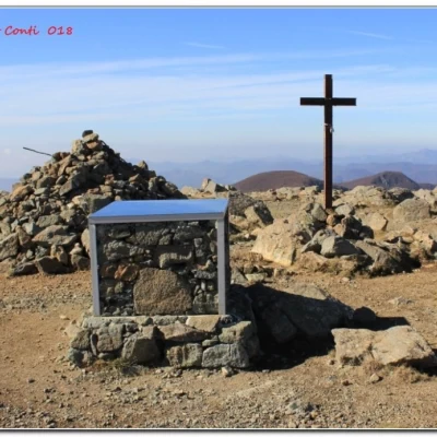
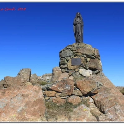
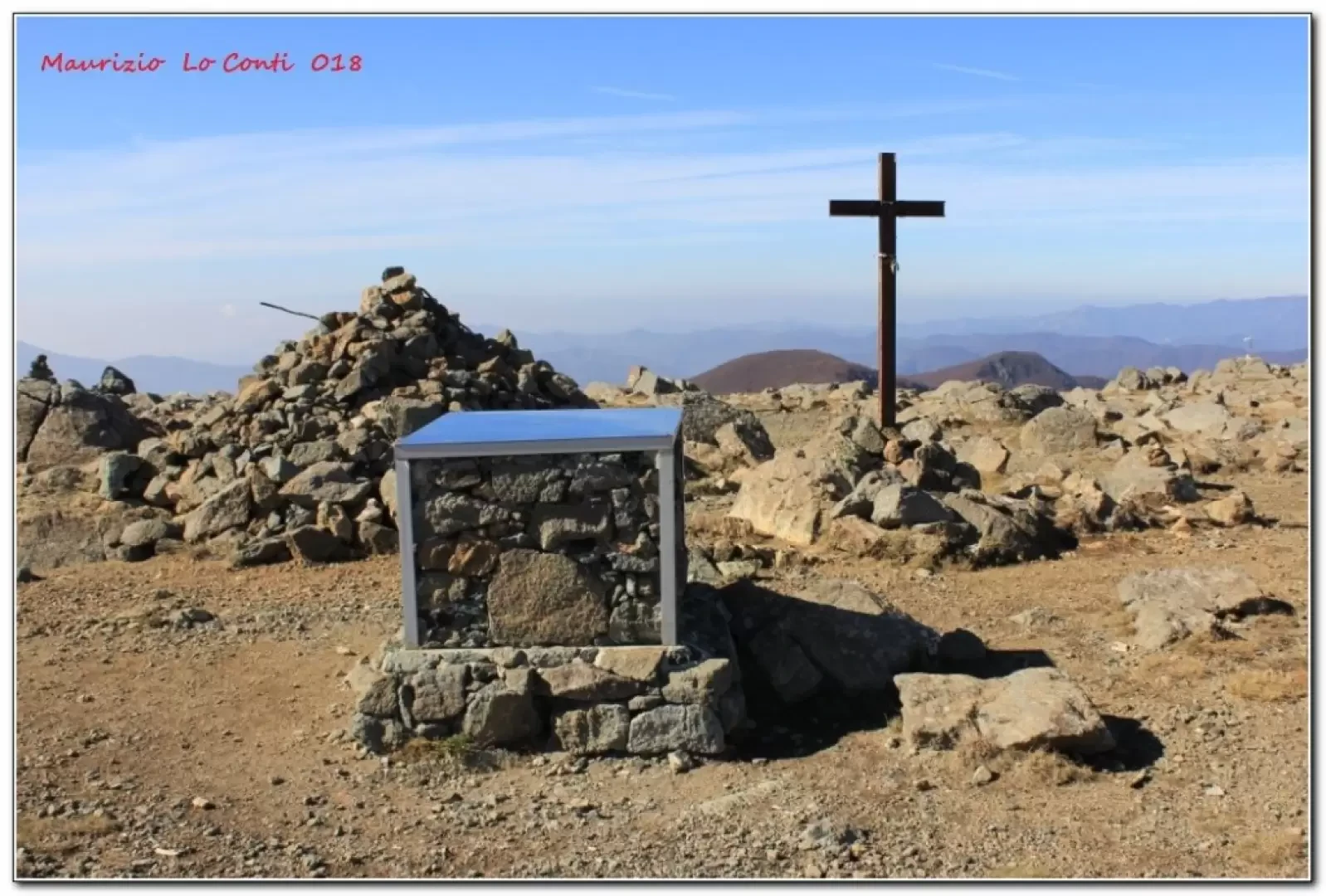
The panorama, moving a few metres further north, is very wide in all directions and deserves a short stop. We turn back at the previous fork and go straight for the southern summit of the Aiona. The half-empty Giacopane Lake stands out and we reach the Madonnina that identifies the point (10').
We take a break here too, before returning to the Passo della Spingarda (30'). You then turn left onto a wide dirt road that loses altitude. At the Dragonale crossroads (35' - 1382 m), keep to the right. There is a building (Riparo Moglie Negretta) and the wide track cuts almost level through the forest. In a little over an hour, you will find a junction by a construction and, continuing to descend, in about 10 minutes, you will arrive at the car park.
All in all: Excellent weather. Def. E - 4h30 Total excl. stops - approx. +500 m asl.
Development: Penna forest house - Passo dell'Incisa - Passo della Spingarda - Aiona - Aiona cima sud - Passo della Spingarda - Dragonale crossroads - Penna forest house
If you like here is the pdf photo file, with a bit more information:
http://www.cralgalliera.altervista.org/Aiona018.pdf
http://www.cralgalliera.altervista.org/anno2018.htm
http://www.cralgalliera.altervista.org/altre2018.htm
NB: In the case of an excursion, always check with FIE, Cai, any park authority or other institutions, pro loco, etc., that there have been no changes that have increased the difficulties! No liability is accepted. This text is purely indicative and not exhaustive.
Info Hiking Section Cral Galliera: http://www.cralgalliera.altervista.org/esc.htm
trips 2018 at the link: http://www.cralgalliera.altervista.org/gite2018.pdf
