Montorfano


Edited by:
Marco Bonati
Updated at: 03/09/2024
Access
From Milan, take the autostrada dei laghi to Sesto Calende and then continue on the A26 to Gravellona Toce. You exit in the direction of Verbania and soon turn left towards Mergozzo. A few hundred metres from the crossroads, you will see signs on the right for the start of the trail. Parking is limited a little further on, in a lay-by at the side of the road opposite a granite depot.
Introduction
Short hike with a modest difference in altitude leading to the top of the isolated hill at the centre of the outlet of the Ossola Valley into the basin of Lake Maggiore. In addition to the panoramic interest, the excursion is characterised by the presence of notable structures of the "Cadorna Line" (military constructions set up during the 1915-18 war as a second line of defence in anticipation of a hypothetical invasion from Swiss territory) and evidence of the mining activity of a precious white granite.
Description
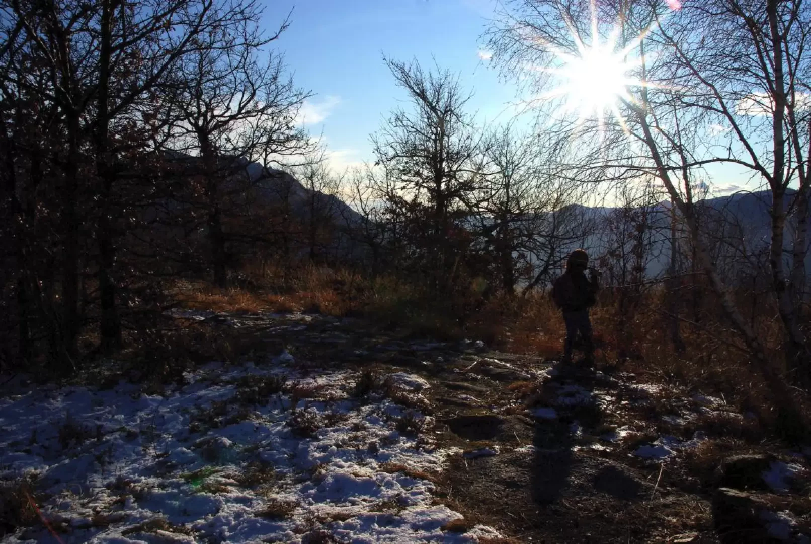
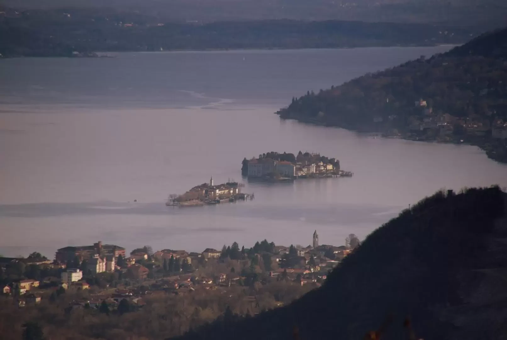
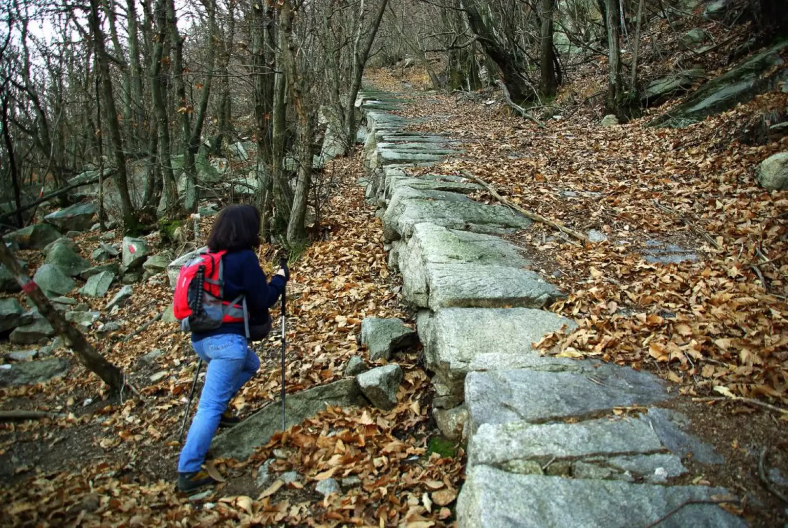
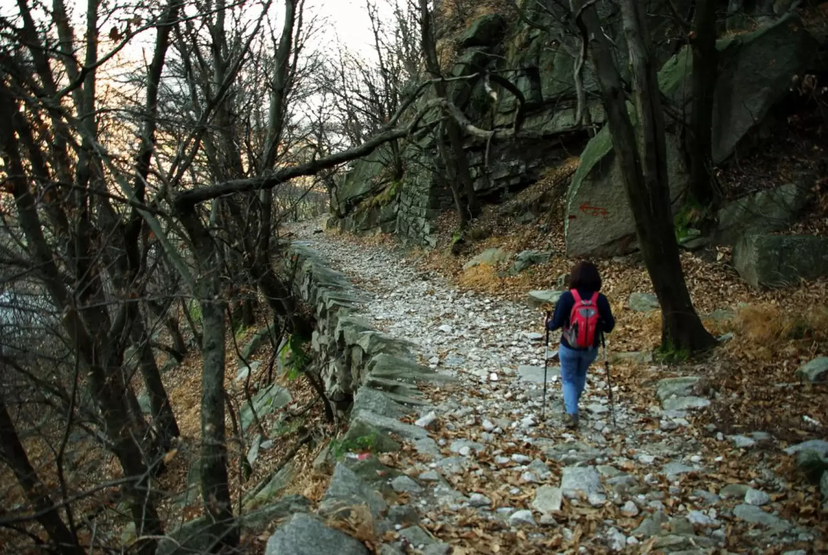
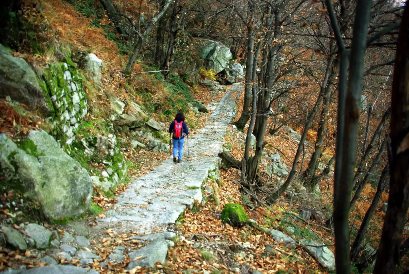
At the Cai Omegna signpost (199m), the trail immediately takes a long traverse into an abandoned granite quarry; once the section between the scattered boulders is finished, the track - steep and stony, but well built in steps with military mule-track features - climbs a wooded gully, winding its way up [rock gym on the left; difficulty 6b - 7c+] until it converges with the smooth and luminous rock face at the end. The path is characterised by meticulous construction: drystone retaining walls upstream and downstream, water drainage channels, ledges carved into the rock, drinking fountains at the springs... Having reached the rock face, the mule-track enters a natural grotto and changes direction, heading eastwards in view of Lake Maggiore. At a crossroads (it is possible to descend to the left without reaching the summit), it is convenient to make a diversion to the right on the level, following the signpost for the powder magazine: the remains of an underground ballistic depot can be visited beside a very panoramic artificial terrace. Returning to the crossroads, continue uphill to the right, reaching the square of a firing range; the road (now a cart-track for the transit of artillery) climbs with long traverses and numerous hairpin bends of modest gradient to the summit of Montorfano until reaching its flat 794 m peak. After passing two trenches ending in walled galleries, you head to a repeater panel overlooking Lake Maggiore and the Borromean Islands. From here, the steep and narrow path - in places along granite slabs - descends towards a group of disused quarries, repeatedly flanking a considerable sloping plane for the descent of stone blocks. Past the last quarry, you reach the few houses of Montorfano 325 m, where an asphalt road ends: follow it to the first hairpin bend where the "Sentiero Azzurro", an ancient local road from Mergozzo, begins. A splendid paved mule track runs at altitude (above the railway line) along the southwest side of Lake Mergozzo through shady chestnut groves. When we reach a forest track, the 'Sentiero Azzurro' turns right: we continue straight ahead on a slight descent until we reach the valley floor near a granite-cutting factory. In a few steps you reach the provincial road Verbania-Mergozzo: follow it to the left for a couple of kilometres to reach the initial car park.
Objective Danger: Stone Fall
Photo gallery
Comments (0)
Sign in to leave a comment