Mount Sasna


Edited by:
Franco Rossi
Updated at: 27/11/2025
Access
In auto si percorre la Val di Scalve (BG) o via Val Seriana - Passo della Presolana, oppure direttamente dal fondovalle della Val Camonica, voltando a sinistra all'altezza di Boario Terme. Quasi al termine della valle, si segue la strada per Vilminore e la frazione Nona, posteggiando l'auto di fianco alla chiesa del paese.
Introduction
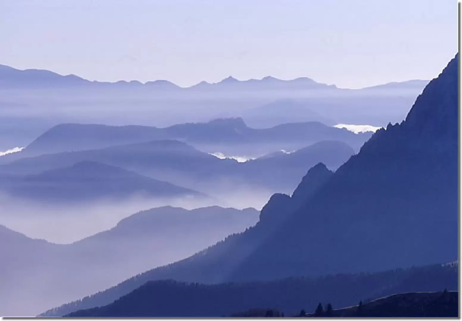
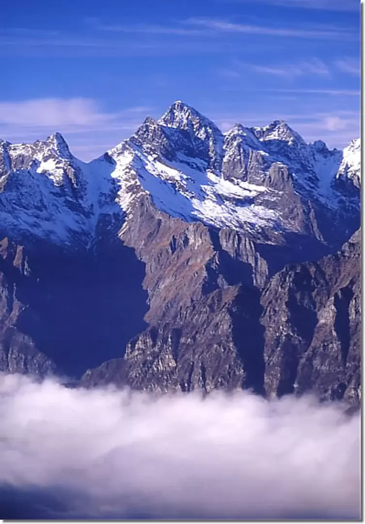
Al Sasna can be climbed either from Lizzola (Val Seriana) or from Nona (Val di Scalve); but from the latter side the ascent is more pleasant, especially in late autumn, as it faces south. Passo Manina is an obvious pass at the bottom of the main valley, dominated by a chapel. The grassy Sasna ridge starts from here, with views gradually opening out onto the head of the Orobian Alps. This walk is particularly suitable at the end of the hiking season, when not in snow-free winters, given the exposure.
.Description
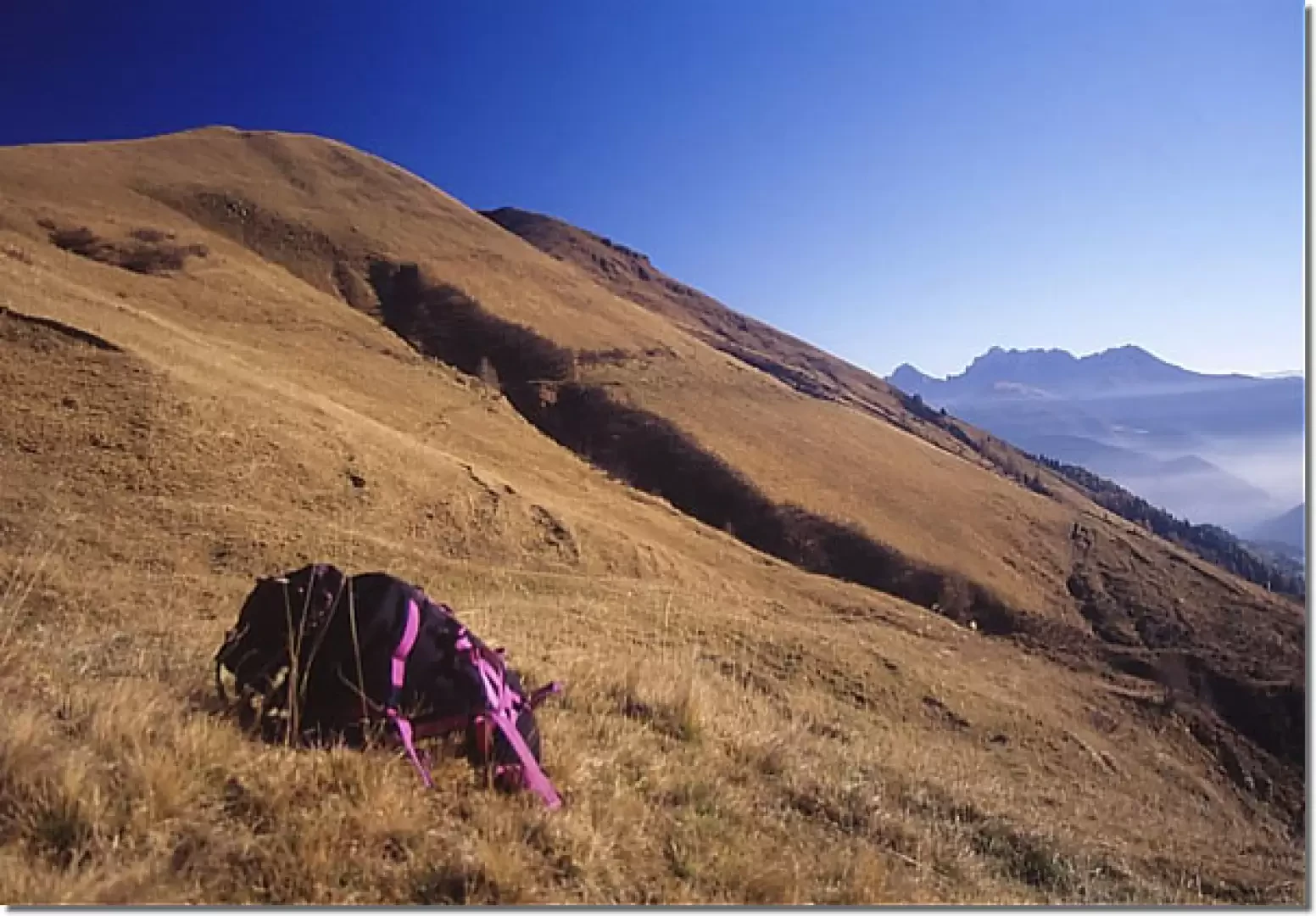
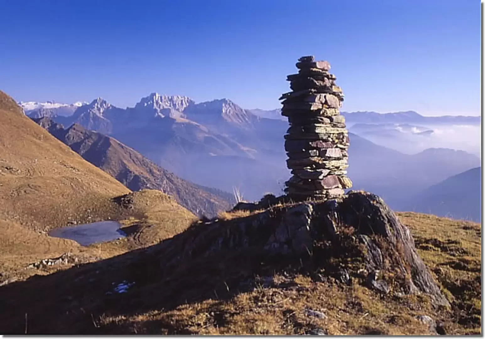
Parking the car, on foot take the tarmac road beside the church itself (Via San Fermo) that climbs into the main valley, ending after a few hundred metres. Proceed along the little path to the rear that leads to the municipal waterworks hut, where it rejoins the main mule track that enters the valley with sparse woodland. At the exit of the latter, in view of the renovated red huts of the abandoned mines, ignore the first small flat road on the left, but take the following one, still to the left, which crosses the stream and soon reaches two ruined huts; with a wide loop you finally reach the Manina Pass (it is still possible to continue on the main mule track that ends at the red huts, however, and then climb up along tracks to the pass, staying low to avoid an eroded gully). From the pass, turn right and you will soon reach the beautiful chapel and climb back up the Sasna ridge on tracks, alternating between steep and almost flat stretches: only one stretch requires a little attention, as you have to cross a narrow but deep crevasse in the terrain. Thus we reach the cross of the anticima and immediately afterwards the actual summit with another, smaller cross. For the descent, descend on the opposite north-east ridge, now with faded red and white marks (marker [409]) to the col, then descend to the right to a small lake and by traces to a hut. Always follow the sheep-tracks that descend directly to a ridge, thus avoiding the Bella Valle farmhouse. However, rejoin the level dirt track that leads to this last hut and follow it in the opposite direction to the right, still on the level. You thus reach a group of mountain pasture huts, from which you descend along the dirt track into the valley, losing altitude (do not continue on the flat grassy mule track, which is lost on the hump in front; correct indications on the wall of the huts). The little service road to the alpine pasture enters the larch wood, passes by the Baita Esenne hut and with a series of hairpin bends descends to the base of the slope, from which it now goes on level ground back to the church in the village of Nona.
Photo gallery
Comments (0)
Sign in to leave a comment