Monte Mezzano, from Pino Soprano

Edited by:
Maurizio Loconti
Updated at: 03/11/2025
Access
By car from Molassana, drive up via Allende and then via di Pino, until just before the pass, without going through the tunnel (from here to Monte Alpe, the boundary follows the ridge, while the area before the baita del Diamante and the Trensanco pass is, completely, beyond the municipal boundary, which at this point does not run along the ridge, but descends, quite a bit, towards Genoa; so in orange, it's a problem to get there by car...). From the cemetery, there are a few parking spaces (admittedly not many).
Introduction
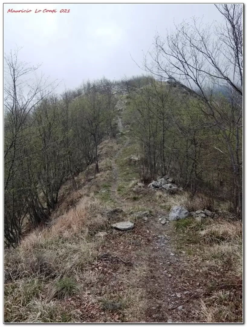
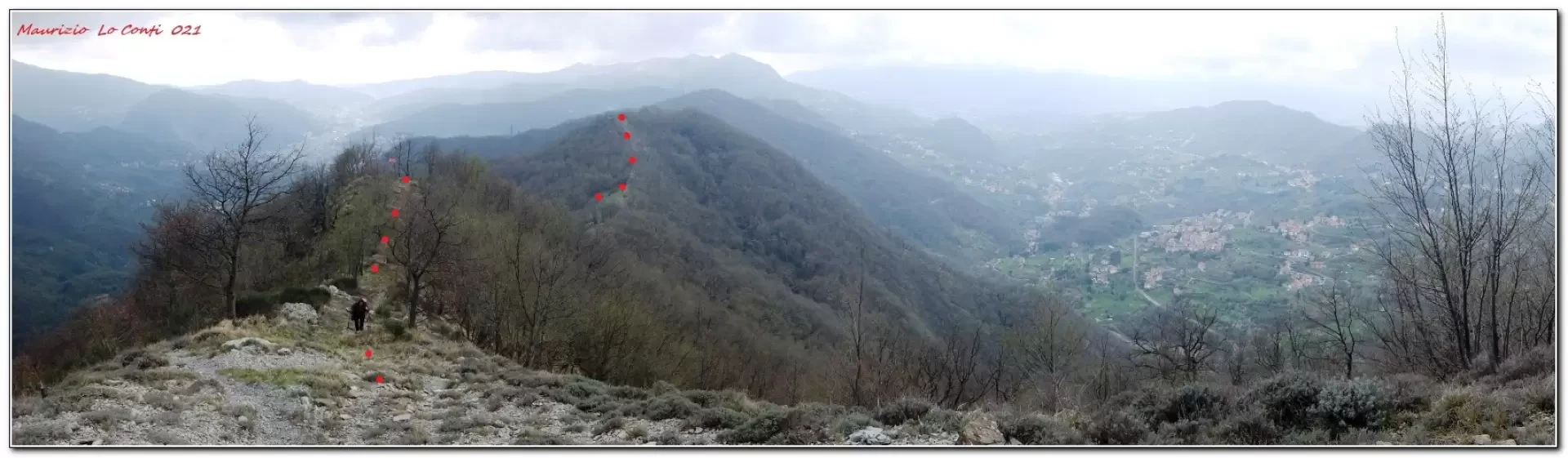
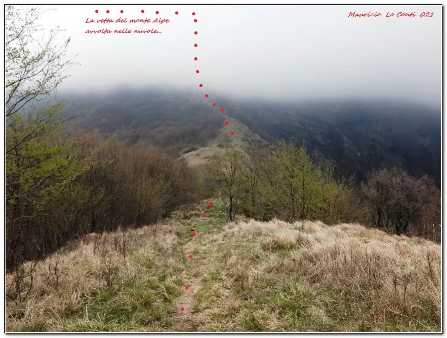
The Fornace path follows the ridge from Pino Soprano (345 m) towards Monte Alpe (800 m), which rises not far from Creto. It runs along the line of the municipal boundary and forces repeated ups and downs, never excessive but numerous. The last peak, before the plateau that precedes the final 200-metre climb, is Mount Mezzano (638 m) and up to here the difference in altitude probably amounts to about 400 metres and not 300. Absolutely no big deal, but it is a bit tiring with all those rollercoaster-style inversions...
.Description
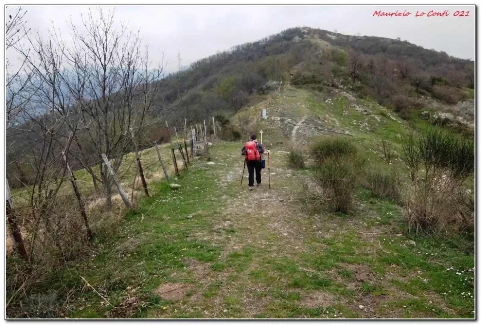
A path beside the cemetery leads to the aqueduct track at the San Giacomo chapel, from where you immediately take the 'Fornace' path to the left. In a moment, you leave the wider path to turn right onto a footpath. The track is always clearly visible and continues on the main route, with several ups and downs over the various peaks. At Pizzo there is also a cross. Further on, you reach the summit of Mezzano.
Not wishing to return by the same route, you can descend and at the next saddle, keep to the right with the Fie geometric figures for a comfortable return. Further on, you join the Valnoci track. The return is relatively quick.
In short: Diff. E - 9 km - 400 m altitude difference - 3h30 total + stops - bad weather. Ride comfort: almost discreet. Tour interest: average.
Trip pdf file:
http://cralgalliera.altervista.org/Fornace021.pdf
http://www.cralgalliera.altervista.org/altre2021.htm
NB: in the case of an excursion, always check with FIE, Cai, any park authorities or other institutions, pro loco, etc, that there have been no changes that have increased the difficulties! No liability is accepted. The present text is purely indicative and not exhaustive.
Info Hiking Section Cral Galliera: http://www.cralgalliera.altervista.org/esc.htm
Trips 2021 at the link: http://www.cralgalliera.altervista.org/gite021.pdf
Galleria fotografica