Monte Generoso, from Rovio
Access
From Como, you reach the city border crossing at Chiasso and continue on the cantonal road in the direction of Lugano; when you reach Melano, turn right towards Rovio. There is ample parking at the entrance to the village.
Introduction
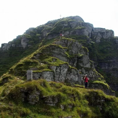
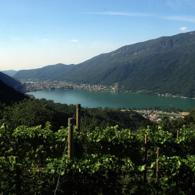
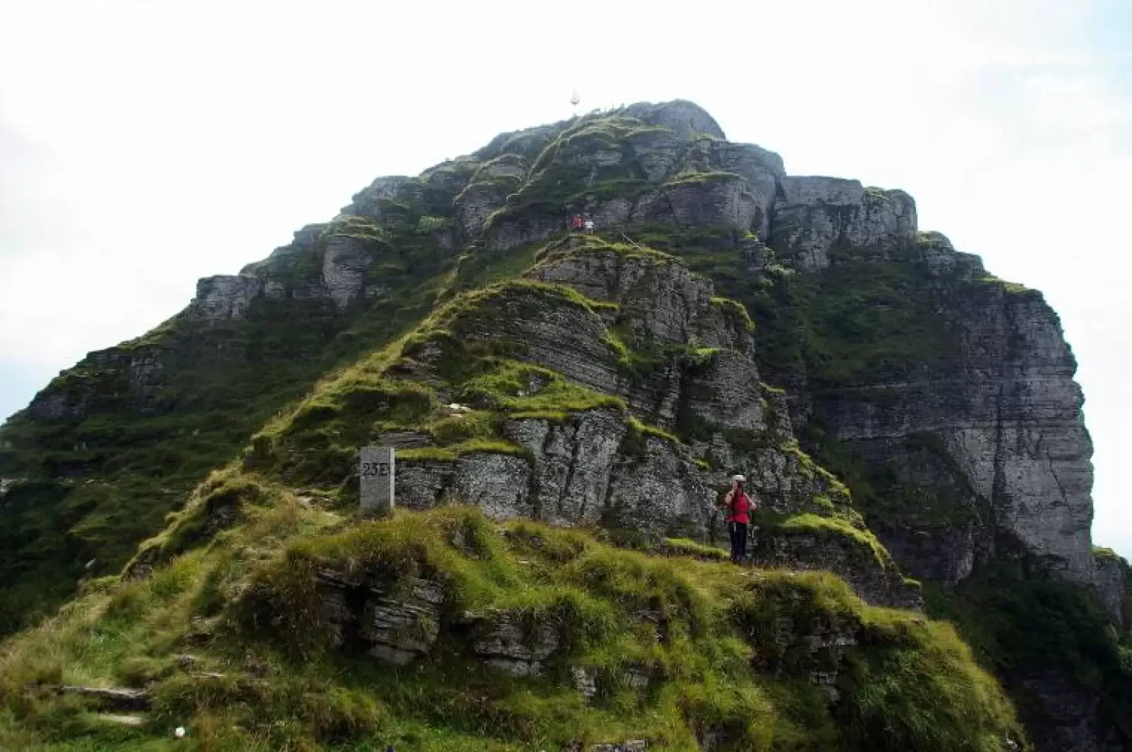
Simple but long hiking alternative to the summit of the renowned Monte Generoso: the only easily accessible path beyond those coming from the Valle d'Intelvi. The ascent route runs along the shady Swiss side of the mountain, keeping to the base of the picturesque culminating rocky towers: as far as the Bellavista station, one proceeds through a peculiar beech forest that grows out of gravel soil devoid of any undergrowth. The return trip, crossing the whole of Monte Generoso, takes place on paths with very little traffic, alternating wooded passages with beautiful panoramic views of Lake Lugano and the spectacular rocky structures of Monte Baraghetto.
.Description
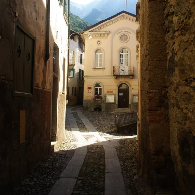
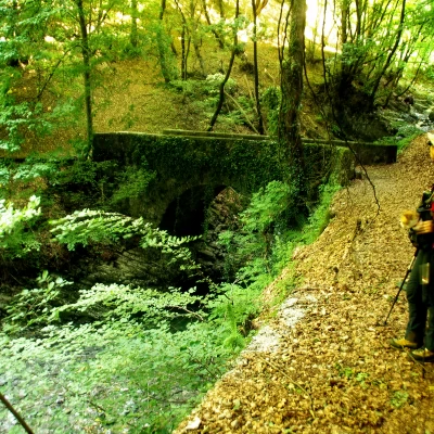
From Rovio 498 m, along the quiet lanes of the village, you reach the Sovaglia valley through a strip of vineyards. Having crossed the stream (Soldino bridge), we begin a quiet, steady ascent through the beech forest (Roncaccio ridge); crossing a few valleys of bare stratified rock, we climb over the base of the Sasso Piatto (viewpoint over Rovio) and on the flat to the farmsteads of the Alpe di Melano 920 m. This is followed by a very steep section of path up the forest at the base of some rocks (the narrow, sloping sequence of hairpin bends makes this slope locally known as 'mustracü'). Suddenly the slope drops and the path comes out just above Bellavista 1223 m, the intermediate station of the cog railway that climbs from Capolago to the summit of Monte Generoso. From here on, the path to the summit is so obvious and busy that it becomes superfluous to pay attention to the signs. Initially, one follows the railway from a distance to its left, among the beech trees; then one flanks it and crosses it, staying to the right until the end. The environment opens up and, aided by the 'Sentiero Natura' panels, the geological and floristic qualities of the area can be appreciated. The last ascent leads to the constructions of the tourist part of Monte Generoso 1601 m: railway station, bar, restaurant, weather and radio-television stations, belvedere terrace. To reach the culminating trigonometric point, a steep stony path facing Italy is chosen, which, after a signposted junction, leads directly to the summit 1701 m. The panorama, which is very famous, is open in every direction and illustrated by several boards reproducing the horizon line. The spectacle of paragliders taking off is frequent. [From the summit, it is possible to continue on the way back via a short ferrata that follows the profile of the northern peak of Monte Generoso: Monte Baraghetto 1659 m ("Ferrata del Gemellaggio" or "Ferrata Angelino". Appropriate equipment required)]. Descend to the crossroads before the summit and take the path to the right that crosses the slopes of Baraghetto at the base of the rocks; past the signpost that directs you to the ferrata, continue to Piancaccia 1610 m. From this nozzle begins the little path that follows the border ridge up to the Cima dei Torrioni 1426 m; across steep slopes you reach the Pianca dell'Alpe 1259 m (an ancient area of strenuous and risky haymaking). Going around the Cima della Crocetta, in the beech forest, we pass the Rifugio delle Guardie di Confine (border guards' hut), which precedes the bright forest of the Costa degli Albagnoni (important speleological area): after the Q 1316 m and a very steep section, we reach a wide and very comfortable mule track. This is the communication route between the Alpe del Patriziato di Arogno 1200 m and the Pianca 905 m: we continue to the right in the direction of the latter. From the farmsteads we follow a very uneven forest track that shortly leads to the first houses of Arogno 575 m: without reaching the small village, we turn left onto a secondary road - initially asphalted - that gradually descends to Rovio in about an hour's walk.
