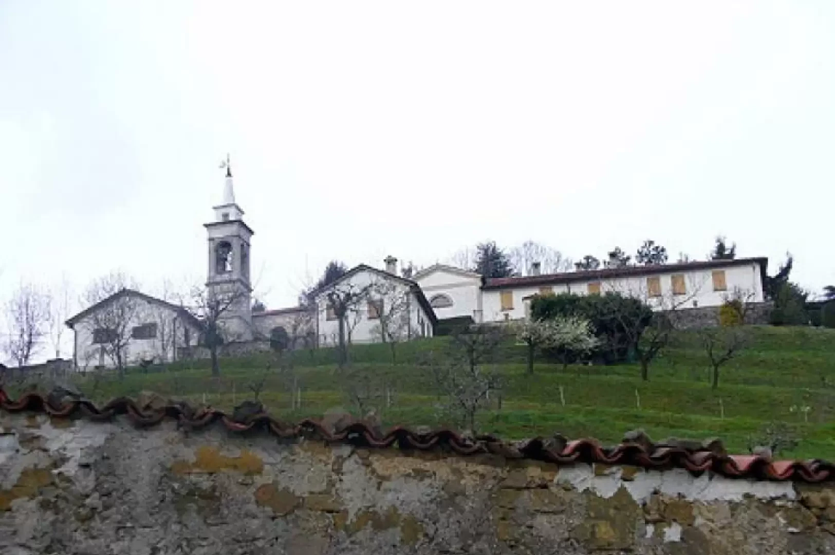
Monte di San Genesio, from Olgiate Molgora

Access
By train from Milan, take the local line to Lecco and get off at Olgiate Molgora.
Introduction
In the heart of Brianza, on moraine hills originated by glaciers that descended from Spluga 10000 years ago. Today it is home to a park with a variety of landscapes, woods, farmsteads, monasteries and historic villages.
Description
From Olgiate Molgora railway station, follow the railway line to the hamlet of Olcellera. Here, at the last house at the top of the tarmac slope, turn left onto a small road that enters between the terraces. A short but steep climb leads to the hamlet of Monastirolo, a few houses undergoing renovation that dominate the valley floor. We then enter the dense chestnut forest, which with a comfortable and continuous climb leads us to a resting place at Crosaccia, where we meet a crossroads (1 hour). The rightmost path descends to Airuno where there is another railway station, the one in the middle heads towards Aizuro and this will be our direction, the third finally leads directly to Campsirago. We then descend in just over 30 minutes to Aizuro, a beautiful village where we find some plaques that still give it as being in the province of Como. Having crossed the village we turn left for the washhouse and with a small asphalted stretch we enter the carriageway. The landscape changes completely, no longer the plain in the background but the Resegone and the Grigna, no longer forest but cultivated meadows and pastures. We still follow the dirt road as far as a farmstead where it veers sharply to the left uphill. One more stretch of wide road as far as the last huts and we are back in the forest. At a fork in the road, we take a sharp left uphill, passing a bird-watching post until we come out onto a comfortable path just below the monastery of San Genesio. Take a right and after a few minutes, pay attention to the marker indicating that you should climb the last few dozen metres to the summit (2h 30'). The descent begins along the monastery wall. Going around it almost completely, we take a right downhill, always following the markers and some explanatory panels, towards the village of Campsirago (visible at the start of the descent), which is reached in about 45 minutes. We cross the few houses and at the car park (horrible) we turn left to enter the woods again along a splendid mule track that quickly takes us to Mondonico, a high hamlet of Olgiate Molgora. Here you can either go back up to Monastirolo and return to the station by the outward route, or descend in the direction of Calchera (follow the signpost on an old slab) asking if the path has been restored after the work to widen the railway, the last alternative is to follow the tarmac road for about 1 km looking at the beautiful villas present.