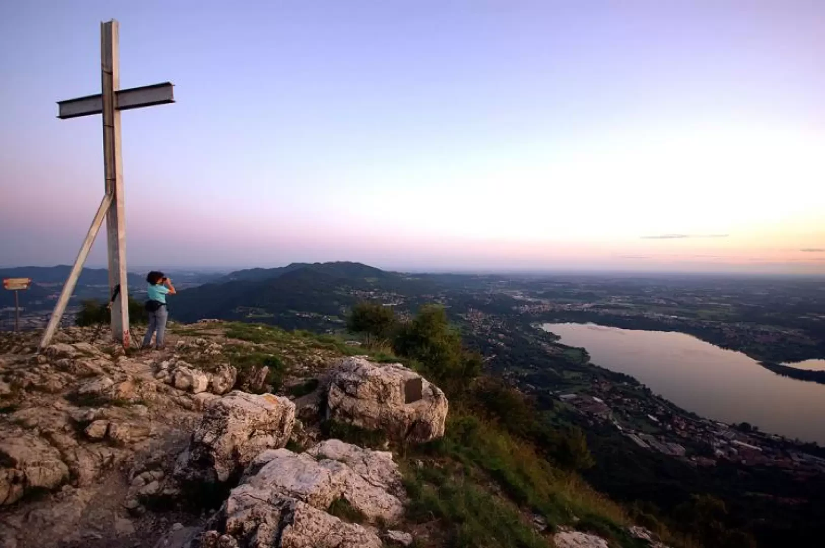
Monte Barro, from Sala al Barro

Access
From Milan, follow the highway 36 to the Oggiono exit. Continue as far as the deviation - to the left - for Sala al Barro; in the narrow streets of the village you will come across the "Monte Barro" signs, which must be followed until the end of the scattered dwellings. From here, all one can do is climb up the slopes of the mountain to one of the available car parks. At certain times of the year, private traffic is stopped at the bottom and replaced by shuttles.
.Introduction
The shortest route to the panoramic peak is described here: a great way to end an otherwise busy day. However, the short route summarises the special characteristics of the area, which the other routes would allow you to appreciate with greater dilution in space and time. We are in the centre of a protected area (Parco del Monte Barro) known in Lombardy for its extraordinary variety of vegetation (more than 1,000 catalogued species), for the interesting passage of avifauna (ringing centre), for the presence of archaeological excavations (remains of military structures attributed to the Goths) and for a well-equipped cliff used as a climbing gym of medium difficulty (from IV to about 7c).
Description
From the lay-by at the end of the asphalt road, near an ugly building that has been variously used over the years, head north-east along a wide lane inside a monumental beech forest; you will soon find yourself in a lay-by overlooking Lake Lecco, from where the steep path of the botanical trail begins. Flanked by signs illustrating the species present, we climb up the partially wooded ridge between outcropping rocks and manufactured steps to the small building housing the equipment for automatic fire detection. Continuing along the ridge, which alternates between flat stretches and small climbable walls (I - II grade, avoidable), and then with a steady ascent, one leads out of the forest into the predominantly rocky summit area. The path - very slippery in wet weather - continues zigzagging between the rocky slabs, or runs directly over them - limestone highly polished by the passage - to the summit blocks, which support a not very extensive stony shelf with the usual cross and some gravestones.
A stop on the summit requires attention because the bushes that form its perimeter conceal jumps into the void for tens of metres to the east.
The return is on the outward route, with the possibility, once you enter the forest, of avoiding the ridge in favour of a tourist path that is paved in places and with protection downstream.