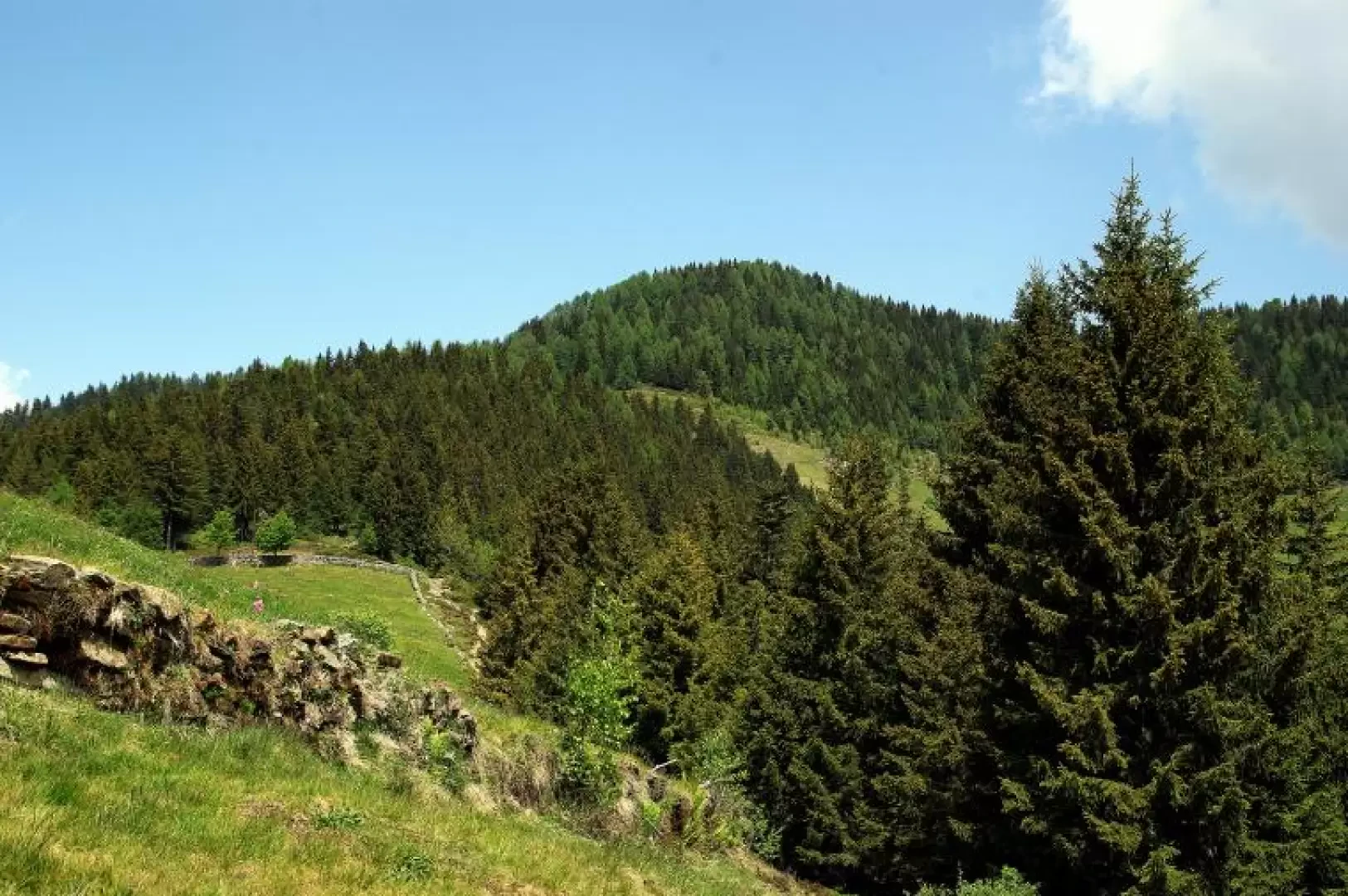
Monte Baitridana, from Albaredo to San Marco

Access
From Milan to Morbegno along state roads 36 and 38; having reached Piazza S.Antonio (Ospedale Civile) take the Transorobica provincial road in the direction of Passo S.Marco and follow it as far as Albaredo. Near the visible Civil Defence building turn left into Via Case di Sopra: small car park after a few dozen metres.
.Introduction
Relaxing excursion through the rich meadows of Albaredo to reach a panoramic tree-lined hump overlooking the lower Valtellina and the circle of the Rhaetian Alps. Several recently and discreetly restored villages are encountered as holiday homes (thanks also to an active proliferation of forest tracks, only partially touched by our itinerary). Possible encounters with wild ungulates. Just a few minutes' walk from the destination, there is an agritourist refuge and a bivouac for winter ski mountaineering activities.
.Description
Continue along Via Case di Sopra, penetrating between the houses until you reach an uphill path on the left that leads between the meadows to cross a tarmac road; another stretch between the maggenghi (meadows), and you reach a dirt track that you follow to the left until you cross a bridge (Punt dul Saltin). From here (cable car) begins a beautiful cobbled and paved mule track, sometimes in steps, that climbs a wooded hump on the left-hand edge of a series of interconnected meadows (Dosso Comune 1333 m); a traverse to the right slightly uphill leads to the provisional end of a forest track at Egolo 1360 m: continue to the right until meeting on the left the continuation of the original path which, passing the locality of Sass 1600 m (fork to the left) in the thinning vegetation, arrives at the Gradesc houses near a hairpin bend of an asphalted track. Follow this road - which soon becomes a dirt track - for a few hundred metres until you reach the square at the end of Cornelli 1739 m: from here, the view opens up over the wonderful Alpe Baitridana 1737 m basin: the path continues flat towards the Alpe Piazza hut, but after a few dozen metres, a marked track to the left, along a small valley carpeted with creeping junipers, leads to the small pond known as Pozza Rossa 1800 m (picnic area). A small path to the left, in a beautiful larch grove among rhododendron bushes, soon leads to the culminating glade of Monte Baitridana 1881 m. For the return journey, head back to the junction for Pozza Rossa and from here - signposted for Albaredo - take the beautiful mule track that from Alpe Baitridana descends to the Corte Grande and Corte Grassa hump 1614 m and continues in hairpin bends until it meets the Transorobica Provincial Road. A few metres downhill and a new stretch of mule track begins, leading to the few houses near the junction for Madonna delle Grazie (Strada Priula) 1157 m; having crossed the provincial road again, a long traverse first on a dirt track and then on a path through the steep meadows brings you back to the vicinity of Albaredo: you are now on the opposite stretch of the Via Case di Sopra, which you followed uphill. Follow this to the car park.