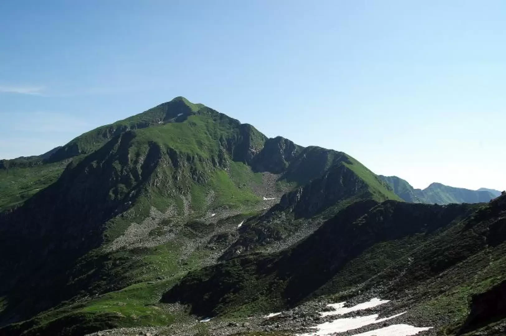
Monte Azzarini, from the San Marco Pass

Access
From Milan to Morbegno along state roads 36 and 38; from Piazza S.Antonio (Ospedale Civile) take the 'Transorobica' provincial road to Albaredo and continue to Passo S.Marco. Car parks along the last stretch of road (crowds in summer).
.Introduction
A very pleasant ridge walk along the border between the provinces of Sondrio and Bergamo (Valtellina and Valbrembana); the route - to be avoided in foggy weather - is intuitive, but always accompanied by at least some tracks. As far as the descent is concerned, one proceeds on sight without a trail in a valley that is normally unsuitable for tourism. Naturally, the landscape interest is preponderant: you are on an isolated peak in the middle of the Orobie and facing the Rhaetian Alps between Valmasino and Bernina. The route along the ridge is always to be travelled carefully: short stretches on comfortable grassland alternate with steep slopes of treacherous grass and a few short traverse climbing steps on outcropping rocks. A note on toponymy: the entire area - between Val Tartano and Val Gerola - has few peaks officially named with precision, and often the translation from the dialectal name identifies a wrong peak; in our case, "Monte Azzarini" is unknown to the locals, who identify it as "Munt Fiurèr".
.Description
From Passo San Marco 1992m, climb up the eastern ridge on rocky tracks near two pylons (one with an elevated cabin); with a short up and downhill stretch you reach an unnamed elevation with a small commemorative metal pyramid and immediately descend to a flat depression that precedes the ascent to Piz de li Segadi 2173m, dominated by a high metal cross. A steep stony path winds its way down to join Sentiero 101 (GVO - Gran Via delle Orobie) for a few hundred metres, which is very popular in this section; where this descends to the right into a small gully, continue uphill on the thin ridge: on the edge or leaning southwards across a few small rocks, you reach a wide grassy section characterised by four small stone cairns (the " matoc' "). Here the crest steepens and one must proceed on the very steep grass using large clumps of slippery grass as steps: at times the exposure is considerable. Beyond a series of grassy rocks, you reach the anticima overlooking the head of the Albaredo valley: the path, flat for a few tens of metres (the starting point of the descent) climbs - steeply but more comfortably - the terminal meadow to the convenient summit of Monte Azzarini 2431m (small metal cross). Returning in a few minutes to the indicated point, carefully descend a grassy gully to reach the terminal cirque of the Valle d'Orta: the descent route takes place on open ground, currently devoid of paths and signposts. As a first objective, you descend to two visible sheet-metal troughs; then you spot the lower pylon of a disused service cableway, and reach it on sometimes marshy terrain. The pylon is located near a confluence in the middle of the valley of several streams, just where a track begins heading north: follow the tracks to a meadow on the vertical of the Casera di Orta Soliva and descend into the grass along the steepest line. When it becomes unavoidable to turn left in order to cross the stream, you come to a path that runs along a masonry bridle and descends in short order to a hairpin bend on the provincial road 1810m. Continue to the Casera di Orta Soliva 1724m and descend to ford the stream to reach the Casera di Orta Vaga 1694m, near which you can see the paved hairpin bends of the Strada Priula (ancient trade route between Valtellina and the Republic of Venice). Climb up the splendid mule track which, first through sparse woodland and then across pastures, runs through an isolated little valley, finally merging with the route of the 'Transorobica' provincial road right at the San Marco Pass.
.