Monte Antola, from Croso

Access
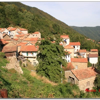
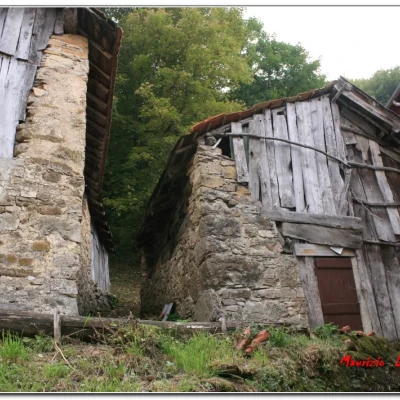
You exit the Milan-Genoa motorway at the Vignole-Arquata junction and turn right along the Val Borbera road (initially straight, but with fixed speed camera posts and limits that, many times, are only 50 km/h). You pass Cabella Ligure (23 km) and then turn off the road to Capanne di Cosola, to go right in the direction of Carrega Ligure (3.5 km), and descend to cross the Borbera stream. You then find the turning, again on the right, for Agneto (3.5 km). Continue along a narrow and, in part, ruined road and pass through the village (3 km) to reach first Campassi (5.5 km fork after the village) and then Croso (with signs for a Bed and Breakfast) for another 500 metres. Suddenly, there is a small widening on the left, for three/four cars, where you can park (about 39 km and 1h from the motorway).
Description
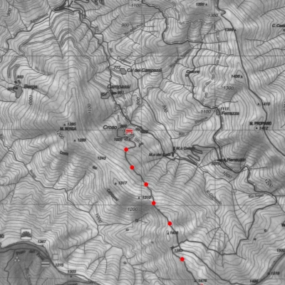
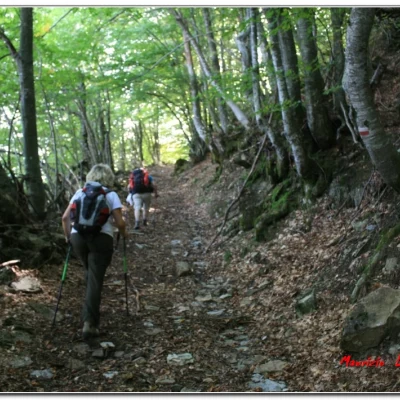
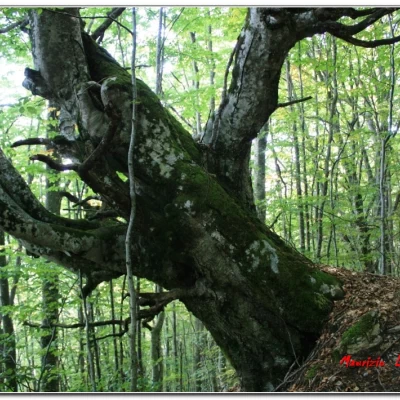
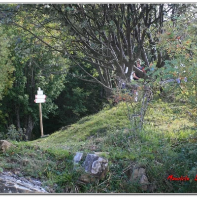
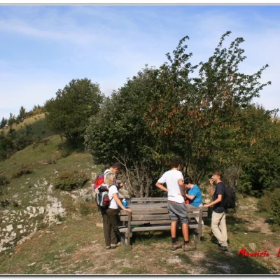
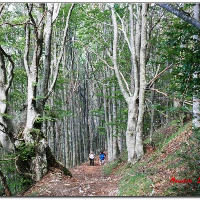
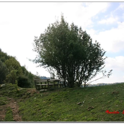
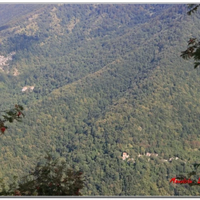
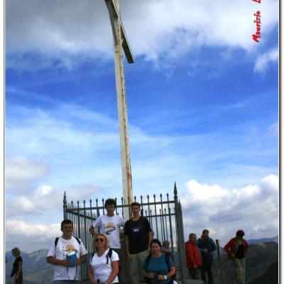
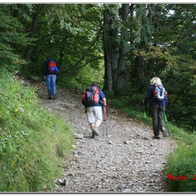
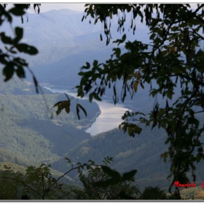
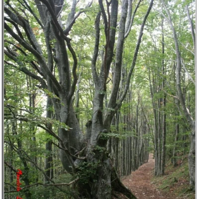
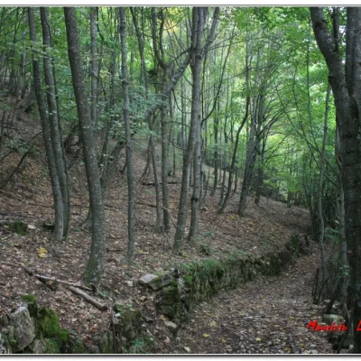
You ascend on tarmac to the last houses of Croso and, by a bar (also selling meat and organic farming - 348 1476585 - az_agr_flavio.franco@libero.it ), you climb up a track marked with vertical signs (red-white flag no. 245). You go through a gate (to be closed again) and turn left onto a wide mule track, with the pavement somewhat ruined. There is a crossroads and we climb to the right (on the left, No. 243A), as we flank ancient dry stone walls, surrounded by a beautiful beech forest. One climbs up the Costa dei Campassi and, every now and then, trees with remarkable circumferences, certainly more than a hundred years old, stand out. We leave the vegetation, reaching a beautiful viewpoint (little table) at the crossroads of several paths (50'; Sella Banchiera 1274 m - to the right with no. 250 towards Berga and with no. 251 in the direction of the Capanna di Tonno, while to the left Reneuzzi on no. 243). Back into the forest, to a second grassy saddle (25'; 1380 m - another resting place). Here one enjoys an even wider view that goes from the nearby Mount Buio, on the right, to the more distant Mounts Ebro, Chiappo, Carmo, etc. on the left, while below one notices the two abandoned villages of Reneuzzi and Ferrazza. Opposite, the summit cross of Mount Antola stands out. Next, the track climbs up, passing a fence gate (to be re-closed). One bends to the left and, afterwards, climbs for a few minutes on a less marked woodland stretch. This brings us to the barren eastern slope of the Antola ridge, from where we soon reach the summit at 1597 m (45' for a total of 2 h).
The route taken is decidedly interesting, but little known, so much so that no one else did it during the day, even though it was very crowded both at the summit and at the refuge. After all, an interesting aspect of this mountain is precisely the fact that there are multiple accesses (from Case del Romano, Caprile, Bavastrelli, Donetta, Piancassina, Tonno, Passo dell'Incisa, etc., to name but a few), almost all of which take between 1h30 and 2h30, which makes for a pleasant and varied visit to the area, through the different valleys.
Returning back along the ascent route in 1h30.
Visit to the refuge
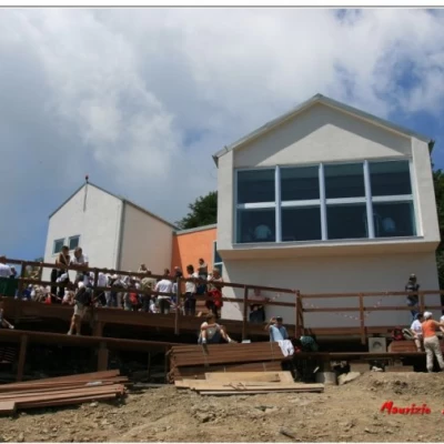
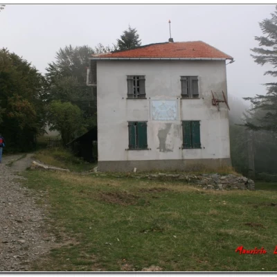
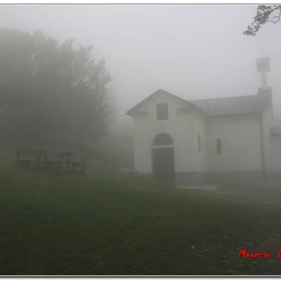
From the summit, you can also descend to the little chapel (opened in 2000) and from there follow the wide ridge trail to the right, with several yellow Fie markers (passing the old refuge, now abandoned, after its closure in 1996), until you find the diversions to the left that descends to 1460 metres from the new refuge (built in 2007) of Monte Antola (Cell. 339 4874872 www.rifugioantola.com info@rifugioantola.com , always good to forewarn in case you decide to have lunch). A splendid terrace looks out directly onto Lake Brugneto for a pleasant break with delicacies (at prices I would say reasonable) prepared by the young, but good, new managers (30' A/R +100 m uphill).
If you want some photos, they are at the link
http://www.cralgalliera.altervista.org/altre2013.htm at the corresponding link
NB: in the case of an excursion, always check with FIE, Cai, any park authority or other institutions, pro loco, etc., that there have been no changes that have increased the difficulties! No liability is accepted. This text is purely indicative and not exhaustive.
Info Hiking Section Cral Galliera: http://www.cralgalliera.altervista.org/esc.htm
