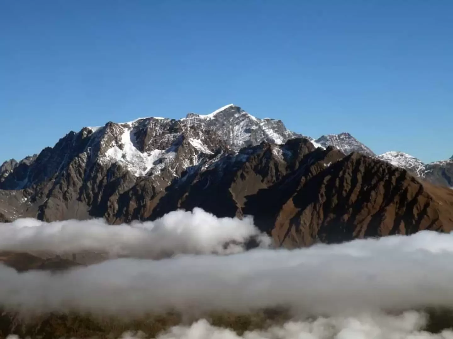
Mont Vertosan, from Vetan dessus


Edited by:
Giancarlo Beretta
Updated at: 04/05/2025
Access
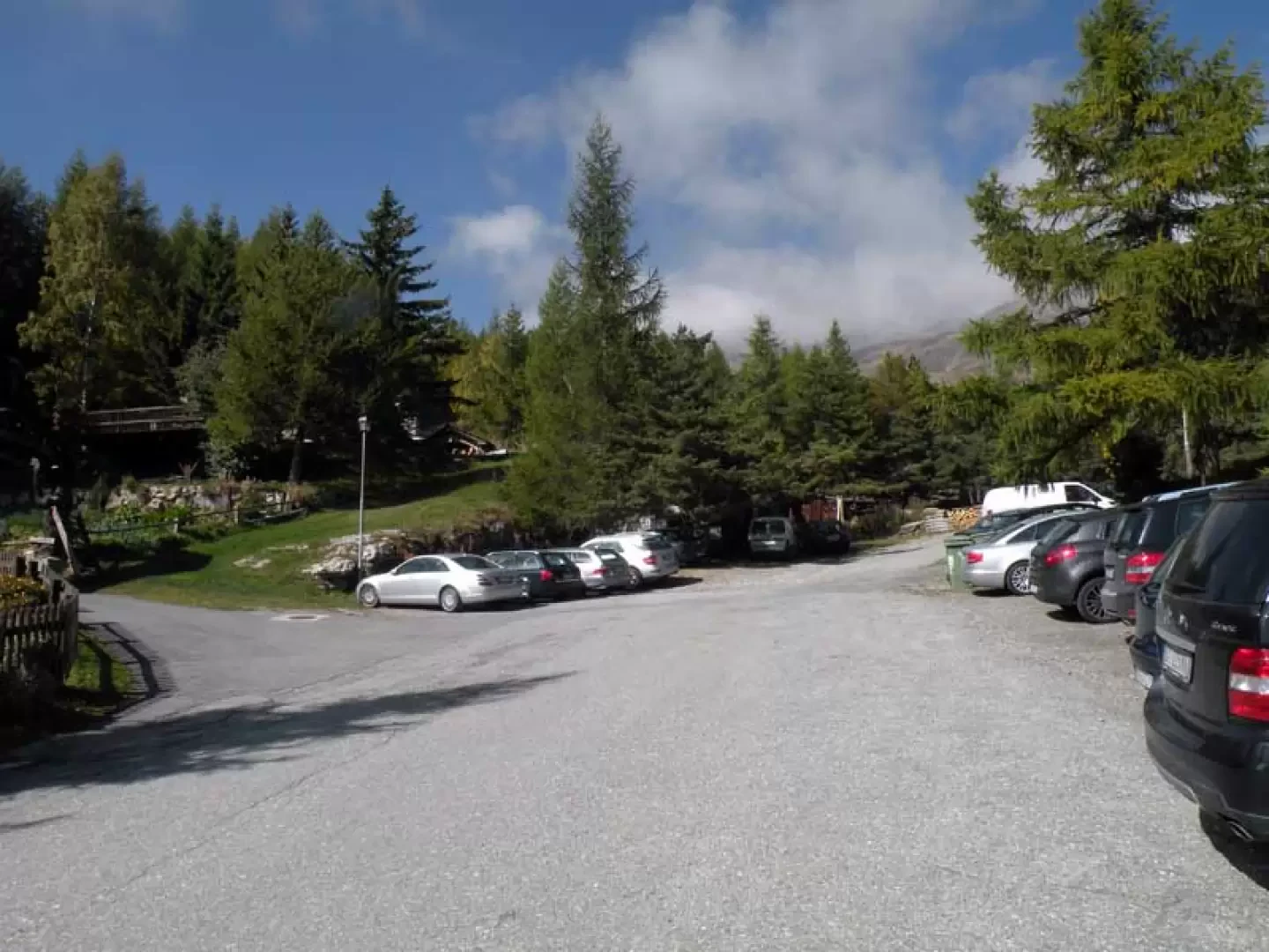
Leave the motorway and, after 450m, leave the motorway junction turning right onto the regional road for the Cogne valley. After 400m at the roundabout, take the second exit and enter the state road , to be followed for about 3km, passing through the village of Saint-Pierre, until you reach the village of Luboz. Turn right onto Via Corrado Gex (to be followed for 300m) and then turn right onto the regional road to be followed for about 7.7km until Saint-Nicolas and, just beyond the main centre, a crossroads: continue straight on the regional road following the signs for Vétan. When you reach Petit Sarriod, leave the regional road and turn left. Follow the communal road through the villages of Person, Grand-Sarriod, Gerbore until you reach, after 4.2km, Vétan and the large car park at the end of the road.
How to get there with GMaps
How to get there with Apple Maps
Introduction
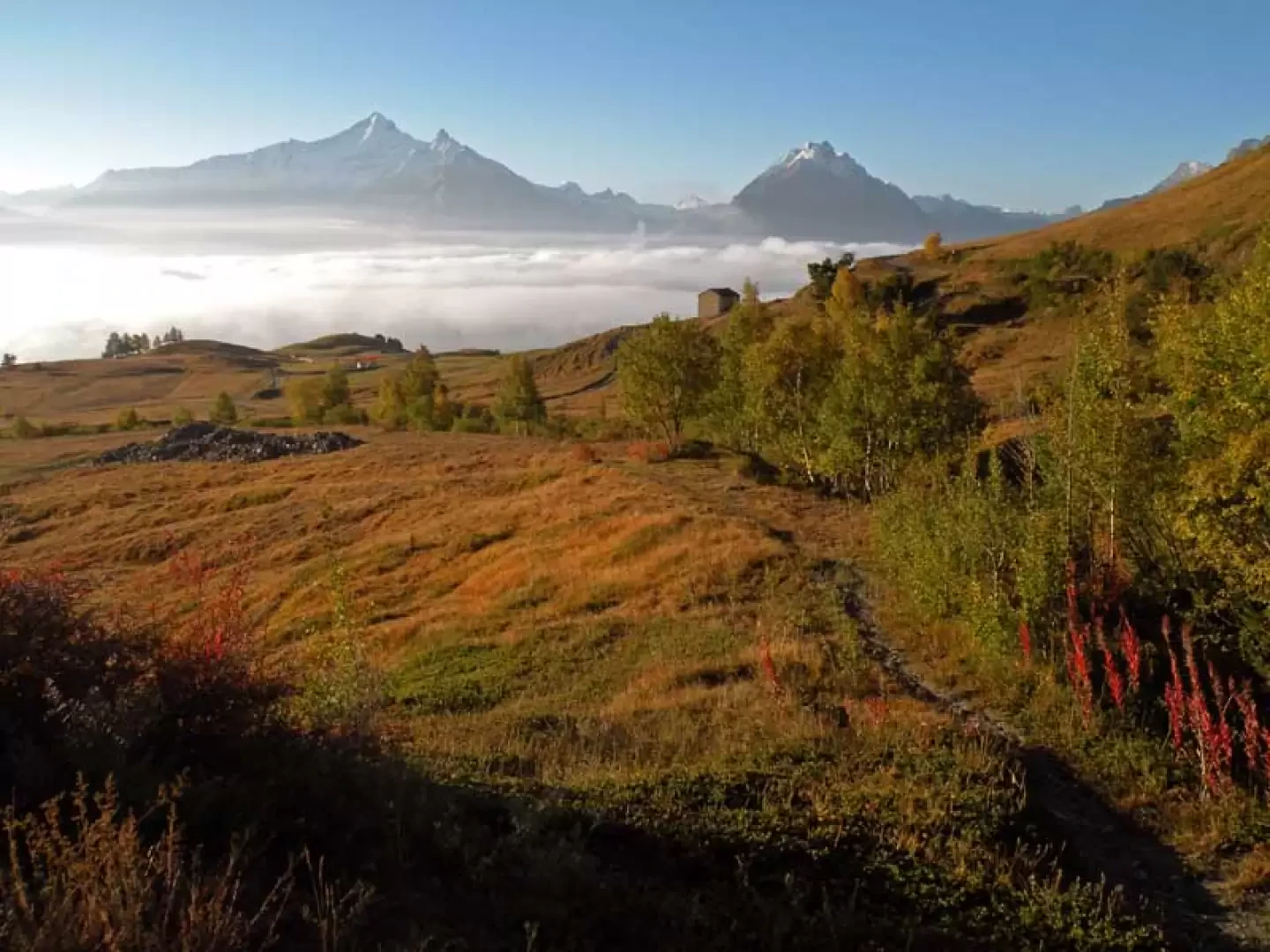
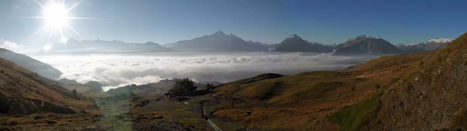
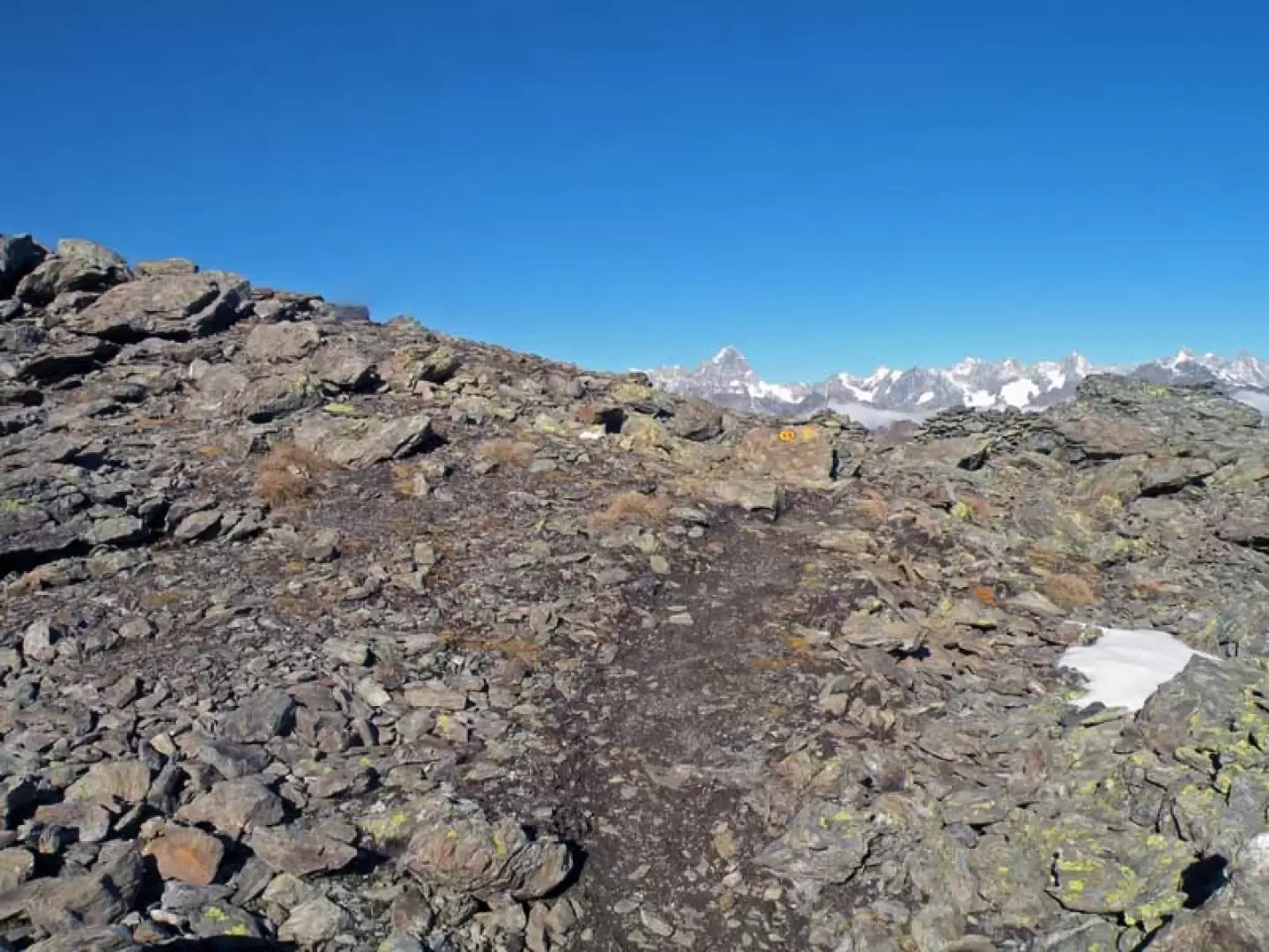
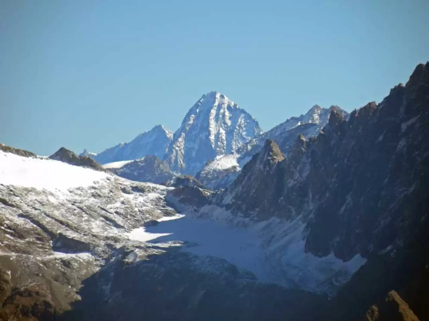
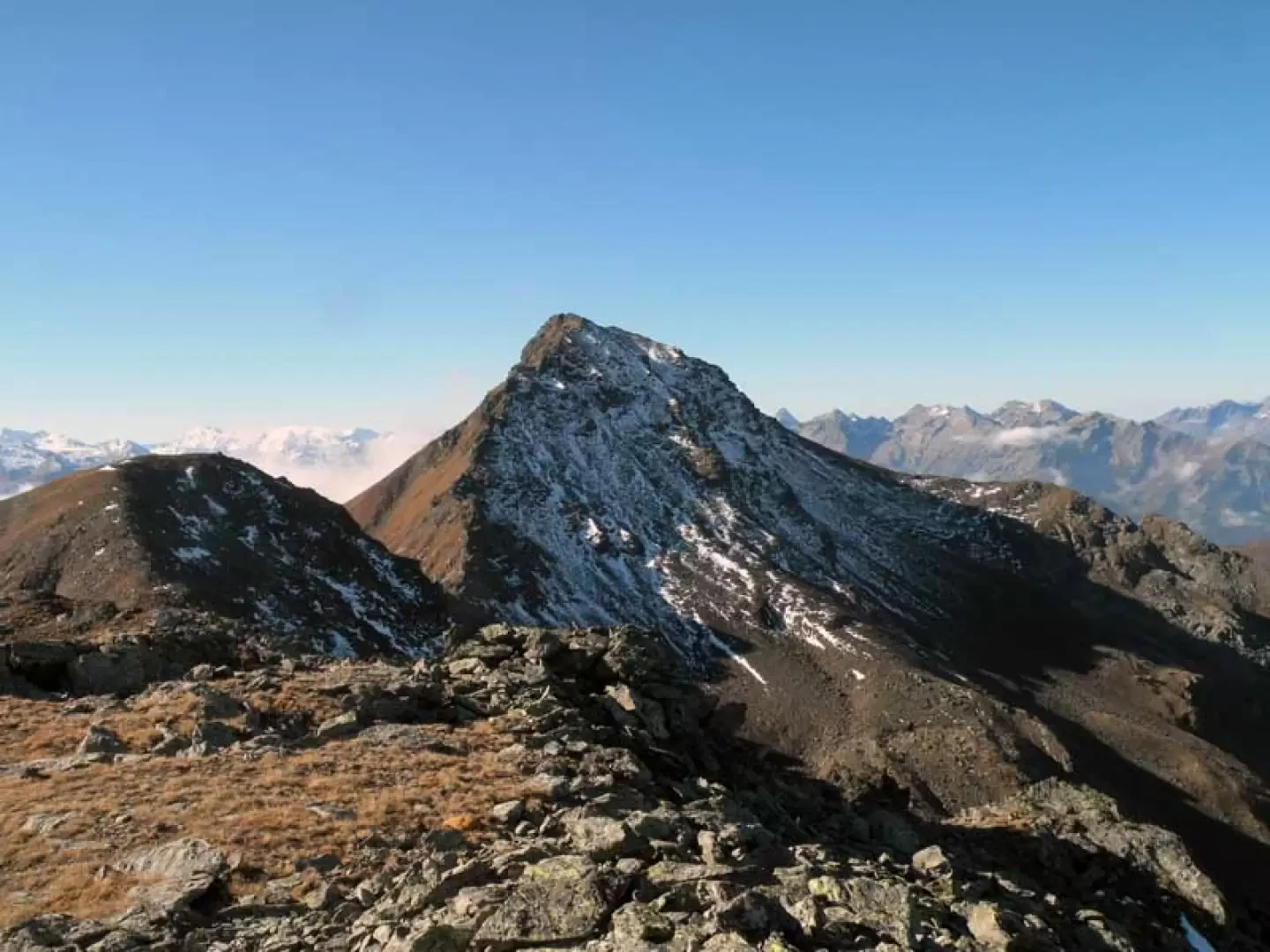
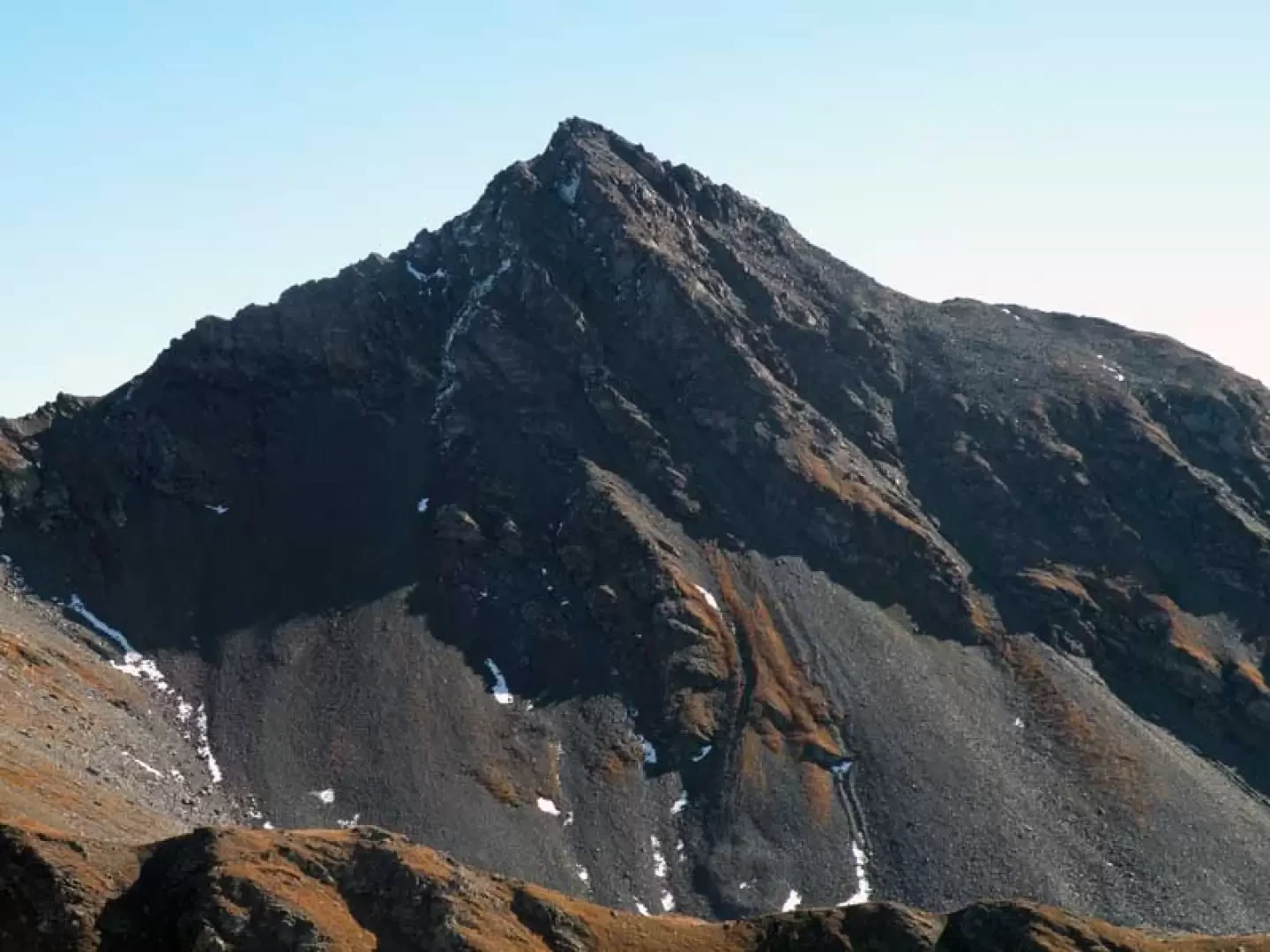
Easy and very scenic hike that, starting with the ascent of the first slopes above Vetan, offers splendid views both over the central valley and, from col Fenêtre to the summit, over the alpine chain from the Aiguille du Glaciér to the Matterhorn and to the south over the Grivola, the Gran Paradiso and the other peaks on the border with Piedmont and France. There are not many paint markings on the route, but it is always clear and, as in the section above les Crottes where the trail disappears a little, also logical; there are no difficulties even from the col Fenêtre to the summit when the path becomes stony and crosses a short area on rougher ground.
Description
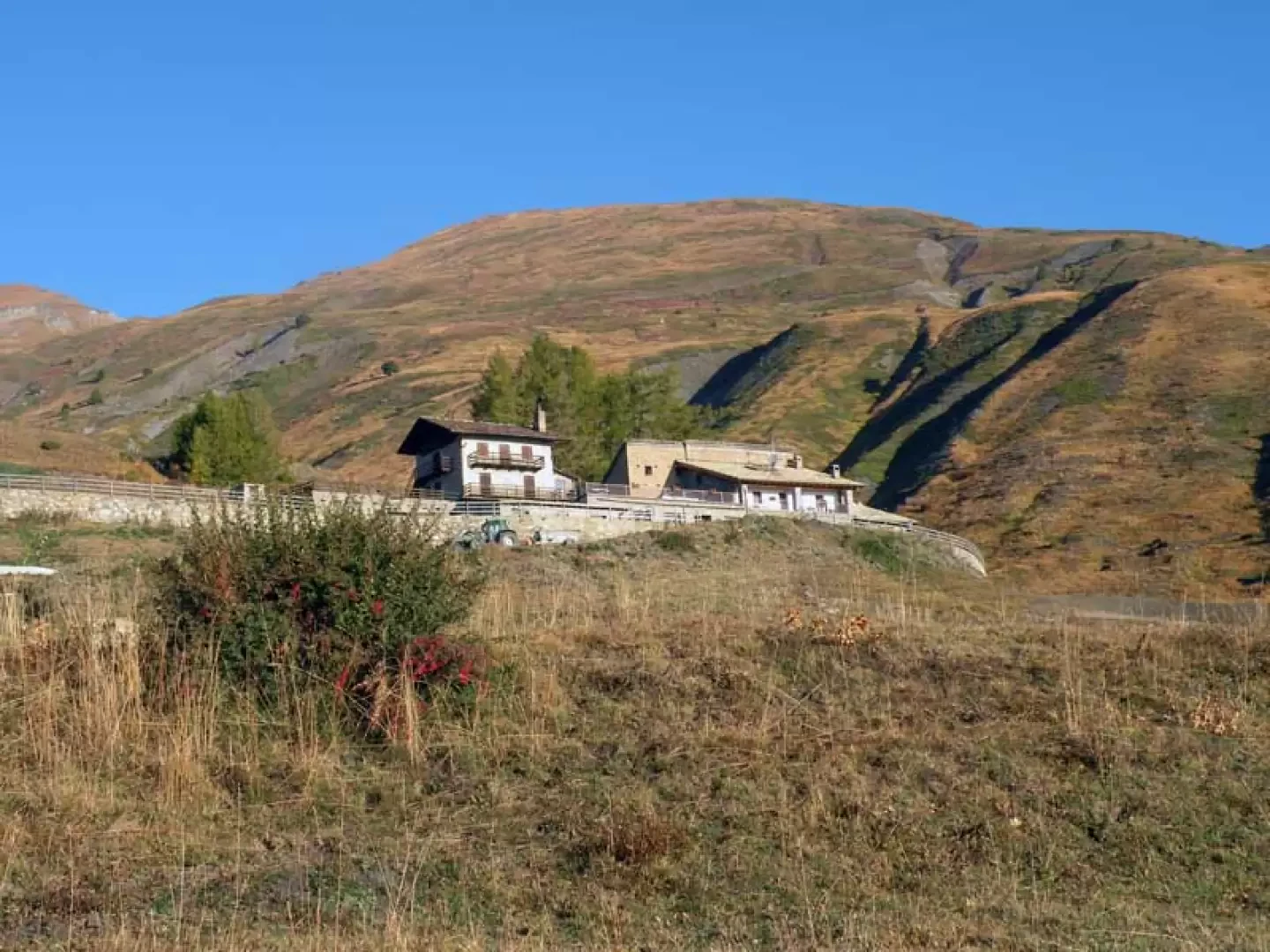
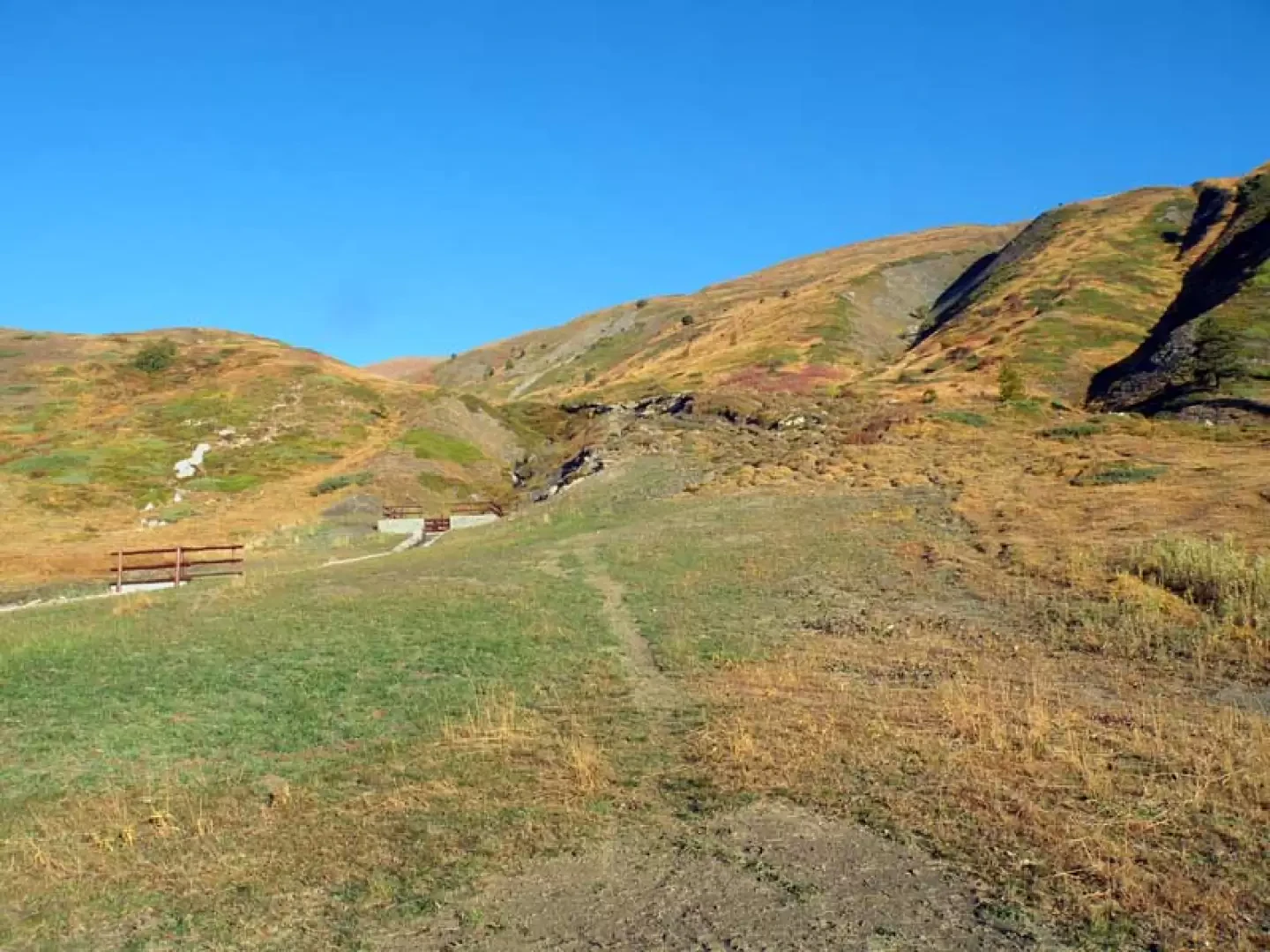
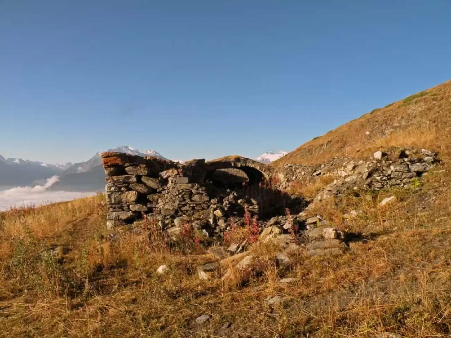
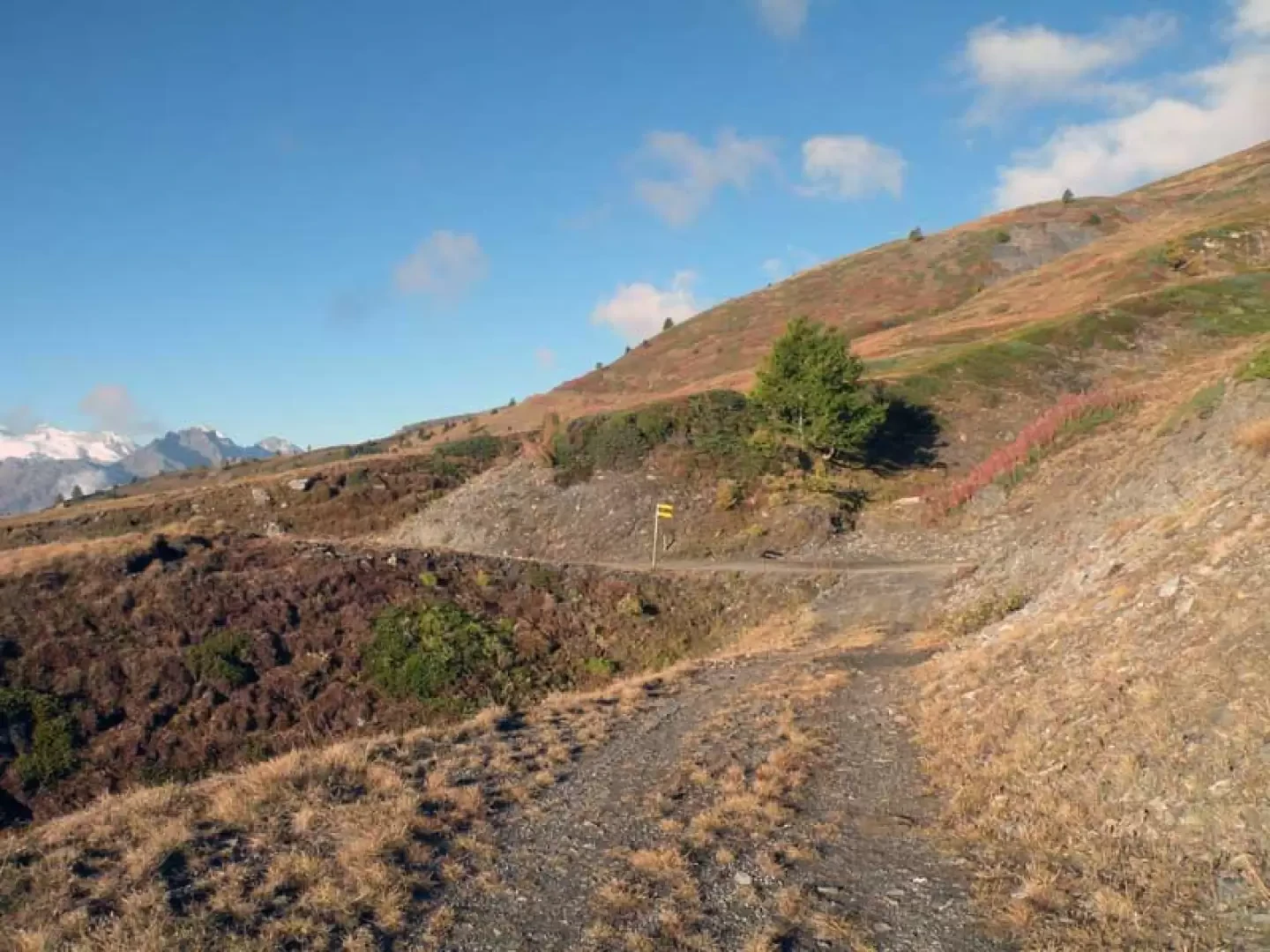
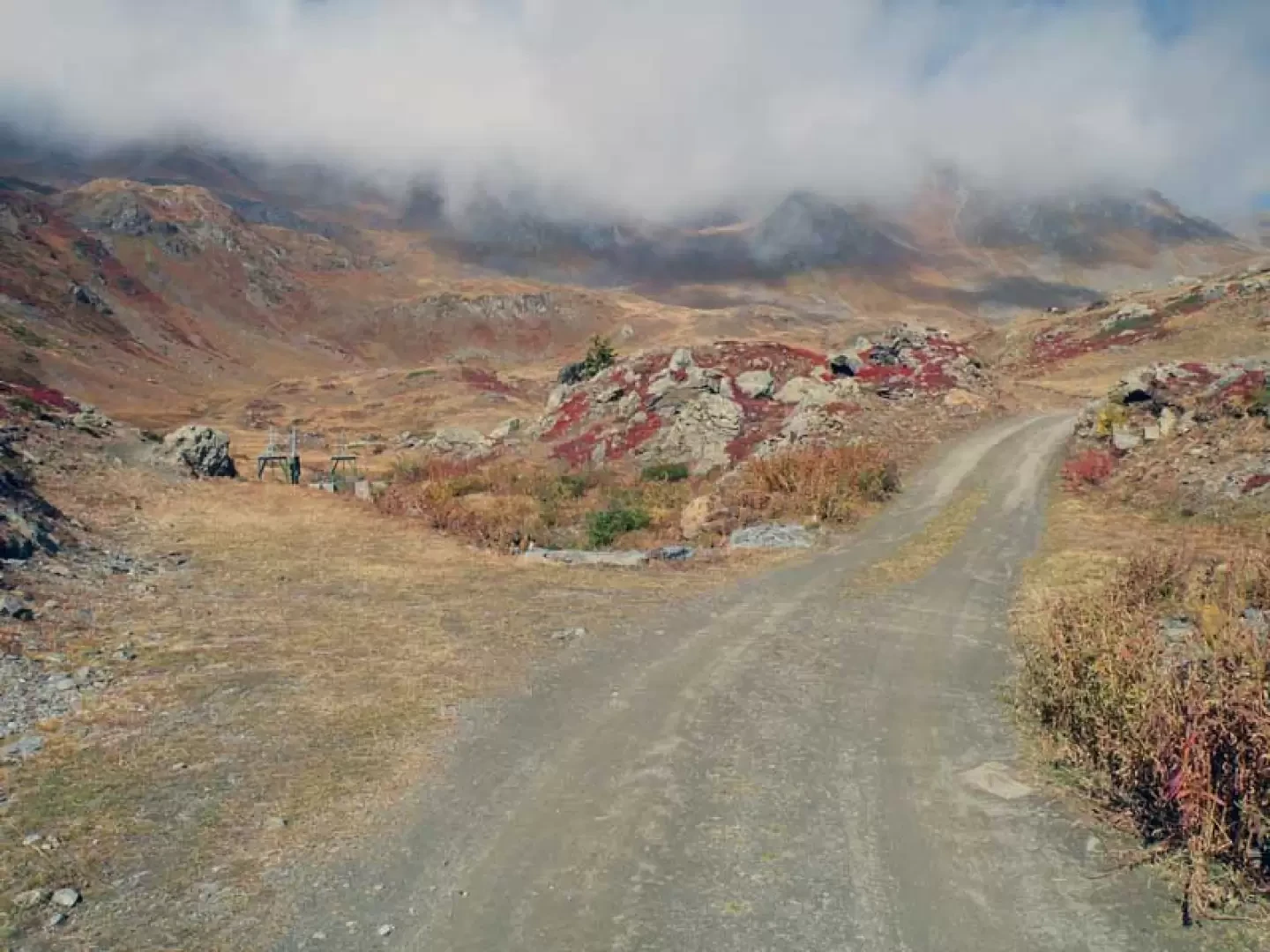
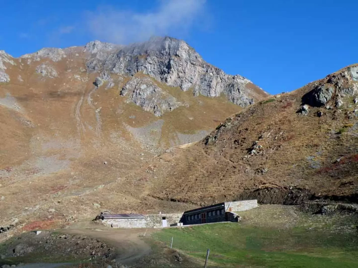
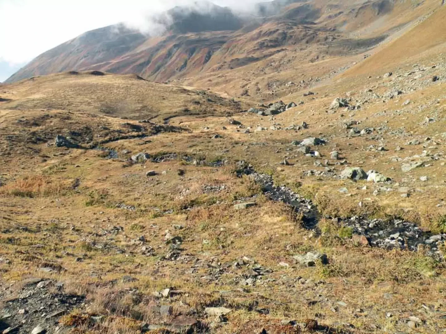
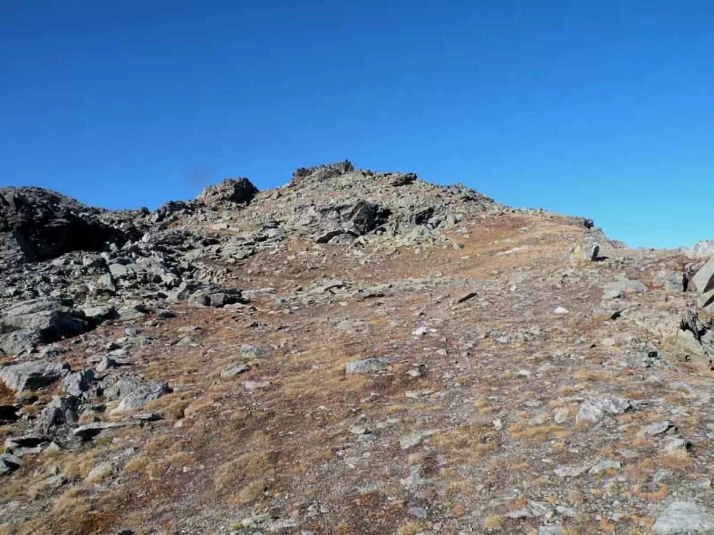
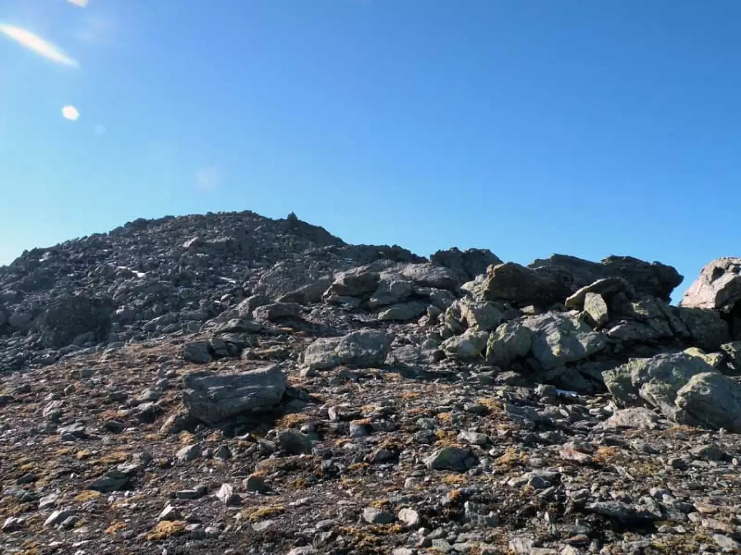
From the car park, head towards the bottom of the forecourt where you climb up a road that arrives just above the route markers and continue until you reach the upper plateau, where the upper Vetan valley opens out with its pastures. You reach a farm track that you walk along for a short distance until you come to a small stone cairn at a track that branches off to the right (1846 m); cross the stream immediately and climb to the left, reaching higher up the farm track where, just before reaching it, you turn right and follow a clearly visible track that cuts across the grassy slope. At a fork with the path coming from below (1900 m), turn left to reach, just above, the Thoules alpine pasture (1932 m), which you leave to the left and head towards the evident stream that descends behind it; Climb up the path that starts to the right of a large water basin and climbs up the pastureland, crossing a large grid above the watercourse and reaching higher up the ruins of the old alpine pastureland of Grandes Arpilles (2106 m) from where the track of a wide mule track begins and, with a few hairpin bends, reaches a farmstead at a crossroads marked by a small post (2147 m). Now turn right along the farmstead that borders the south-eastern slopes of the Punta Leysser and, having entered the Verrogne valley, first pass a grid and immediately afterwards a couple of water sluices from where, on the left, the trace of path 13A (2312 m) begins; continue along the dirt track that, with a few bends, climbs gently between the low undulations of the terrain and passes near a refuge under construction to arrive a little further on at the alpine pasture of les Crottes (2394 m). Behind the building, a path starts out, little more than a trace, that passes to the right of a water intake and enters into a small valley and follows the course of the torrent, remaining mainly on its right (hydrographic left); it crosses the torrent for the first time and then crosses it again just above, reaching a small marshy plateau where there is a small lake that is passed to the left to point to a stone embedded in the ground with a yellow arrow. From the alpine pasture and up to this point, the path disappears several times and one must rely on the faded yellow signs and the few cairns present, but in any case the route is always logical because it is enough to follow the small stream. When you reach the marker (2611 m), where you cross another track coming from the right, climb more decisively towards the now nearby col Fenêtre, which you reach with a few hairpin bends (2750 m). From the wide and scenic creek, turn left following the yellow marks and the evident path which, becoming more stony, climbs the easy ridge remaining to the right of the line and arrives at a col bordered by a low dry stone wall where the path ends (2805 m); From here, turn left near a cairn of stones from which you can see the now near summit and follow the cairns and the track that, rising among the stones of the ridge, surrounds the summit on the left and shortly reaches the cairn of stones on its summit.
Photo gallery


Comments (0)
Sign in to leave a comment