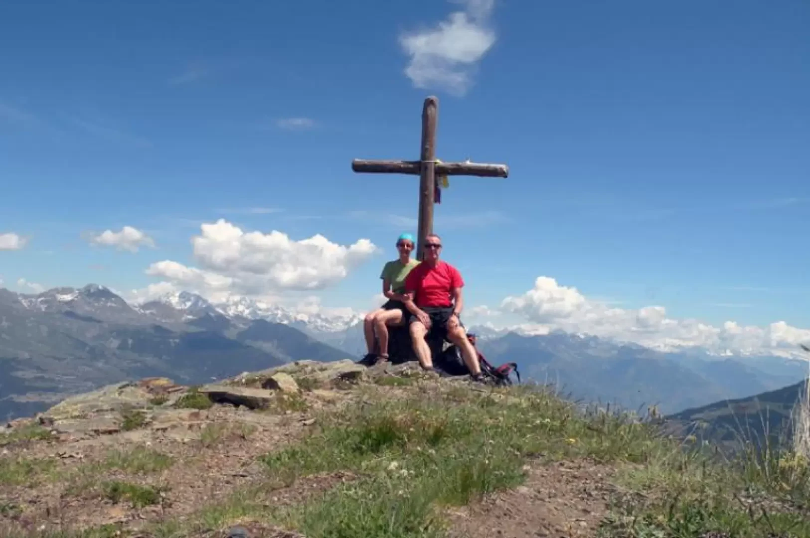
Mont Paillasse, from Coveyrand

Introduction
This long hike goes through the beautiful woods above Rhȇmes-Saint-Georges and only comes out into the open spaces at the Col du Mont Blanc; it offers no difficulties except for the occasional high grass just above the village which can make it difficult to find the trail. The summit offers a remarkable and unexpected panorama of the Mont Blanc group and the Gran Paradiso, but also of the Valsavarenche below and the slightly more distant Aosta basin.
Description
From the town hall, climb up the upper road where the starting point for the route is located at the crossroads. We begin to climb up the path that crosses the meadows above the dwellings and almost immediately enters a forest of beech and hazelnut trees with a route that is not steep but at times difficult to find due to the sometimes very high grass. We come to a crossroads (1383m), which we cross and immediately re-enter the woods, passing by a ruin; just above this we cross a mule track (1517m), where we keep to the left and continue climbing in the woods, which now consist of tall evergreen conifers. Having reached the road again near Traverse, we continue along it and after a few bends we come to an obvious post (1700m) that tells us to turn right. We take the path again, which just above takes us back onto the farm track and, continuing on this, we pass the Champromenty alpine pasture (1818m) where there are signs for Mont Blanc and make us follow the easy road on the left that will accompany us almost to the summit. The track climbs gently through the beautiful forest, where there are also numerous rhododendron bushes, with a panoramic route to the north; after passing a hairpin bend, a long uphill traverse begins, culminating at the wide Col du Mont Blanc. Here you will find the posts where you turn right and head towards the now evident peak on the ridge to the west; the route continues on a mule track that moves to the right-hand side (Rhȇmes-Saint-Georges) making a few hairpin bends and, always keeping to the left at the crossroads encountered, leaves it below the peak, which is reached by a short and evident path along the ridge.
.