Mont Labiez, from Mendey


Edited by:
Giancarlo Beretta
Updated at: 25/10/2025
Introduction
This excursion reaches a peak located on the border ridge between the high valley of Ars and that of Flassin, from which there is a magnificent panorama of the surrounding peaks, including the imposing northern slope of Mont Fallére, and those of the nearby Gran San Bernardo and Valpelline areas. The itinerary crosses, in its first part, beautiful pastures and a beautiful forest, at the exit of which the beautiful and solitary comba d'Ars opens up, bordered by the Cȏte Labiez to the north and the Tardiva ridge to the south, which enclose the beautiful pastures dominated by Mont Fallére. The path does not present any difficulties, although attention must be paid to its final branch off the road above Ars, the start of which is barely recognisable.
Description
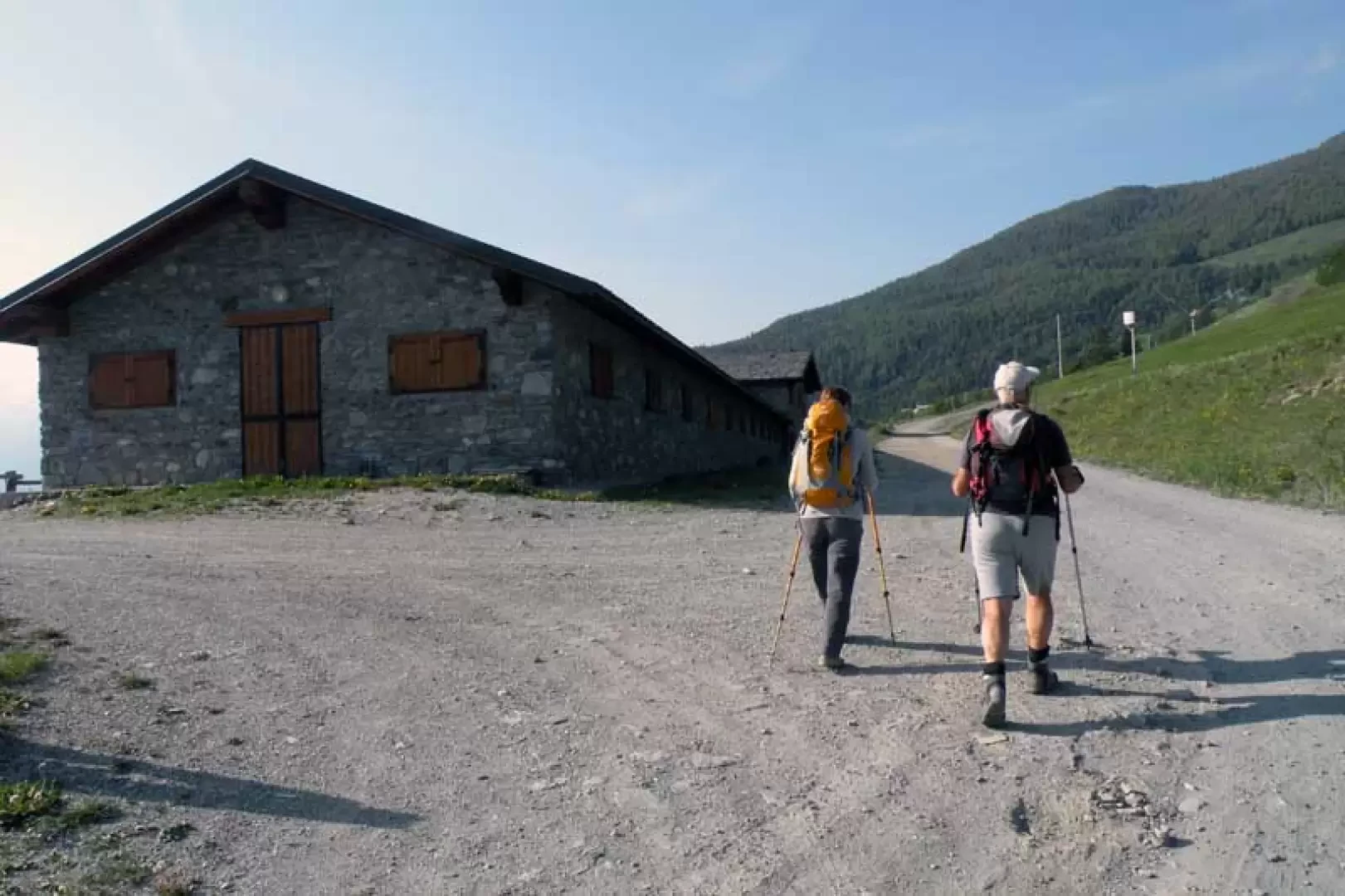
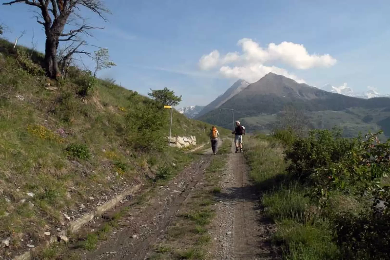
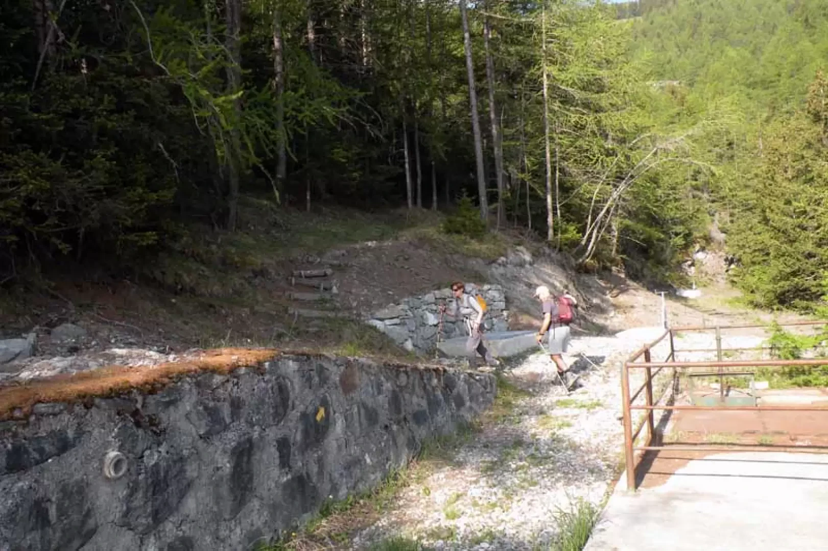
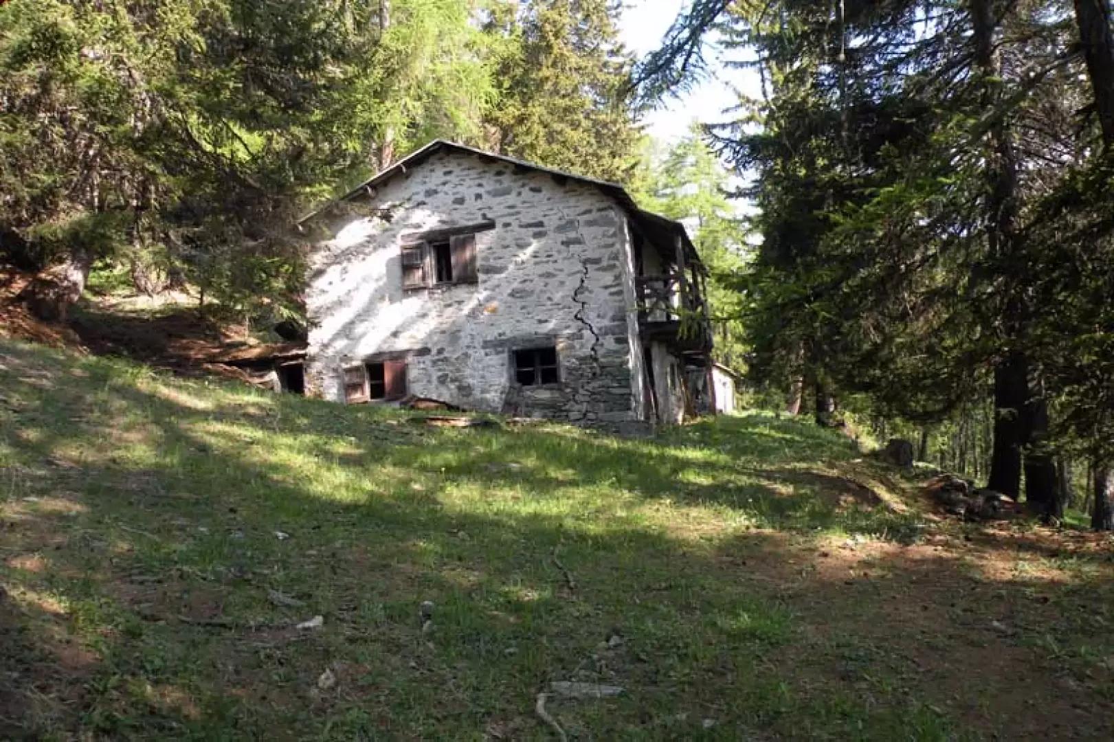
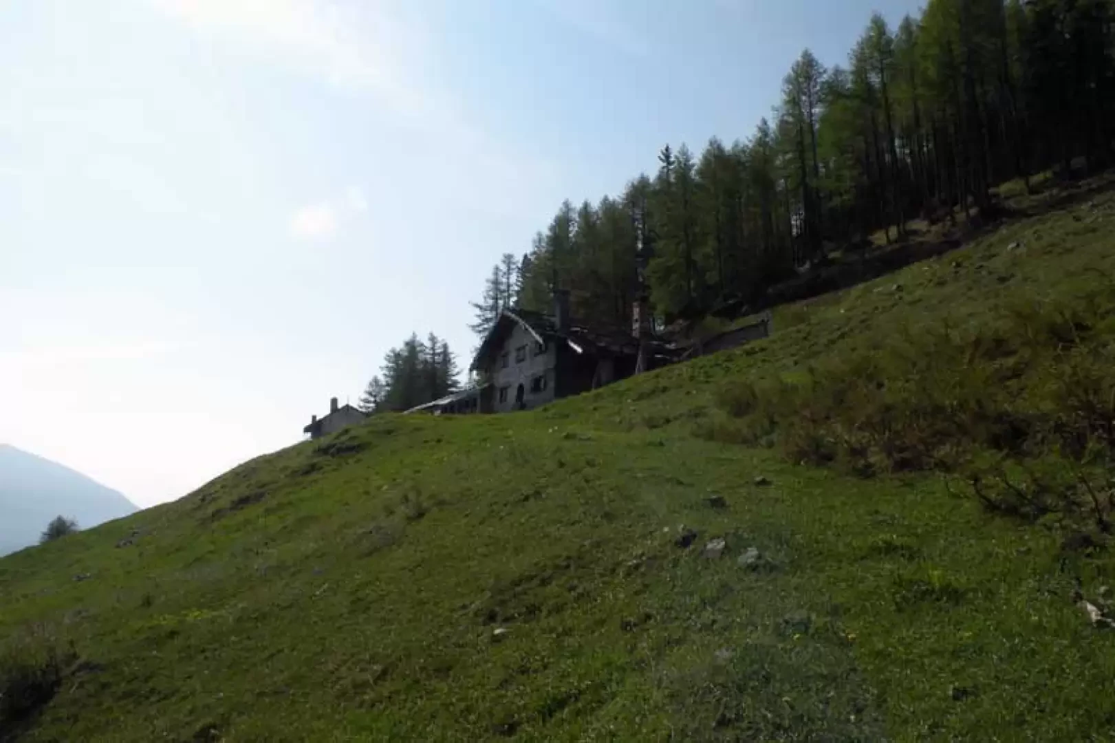
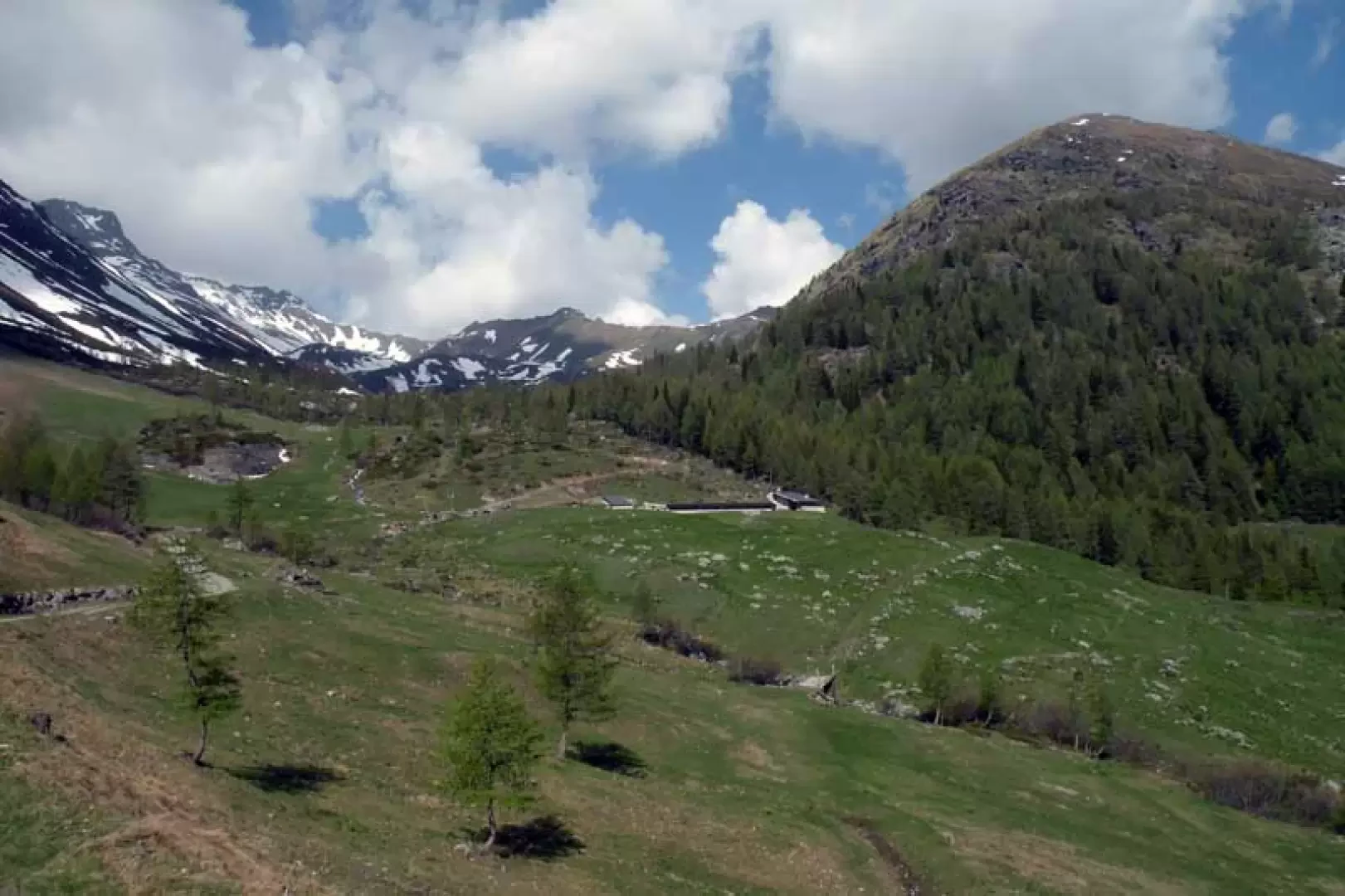
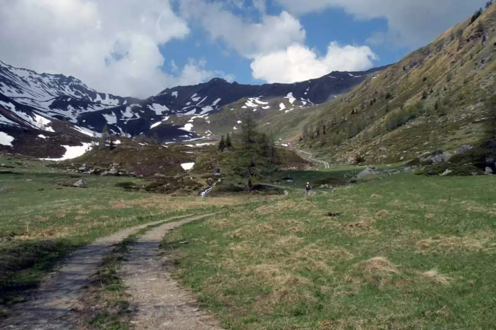
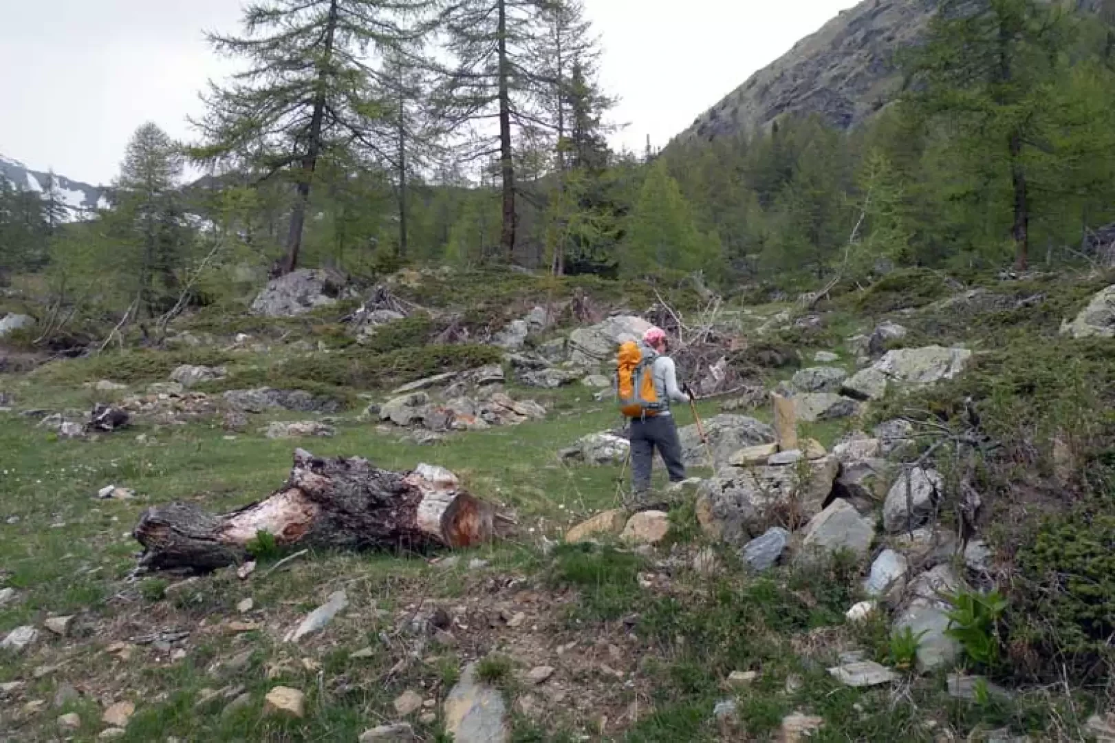
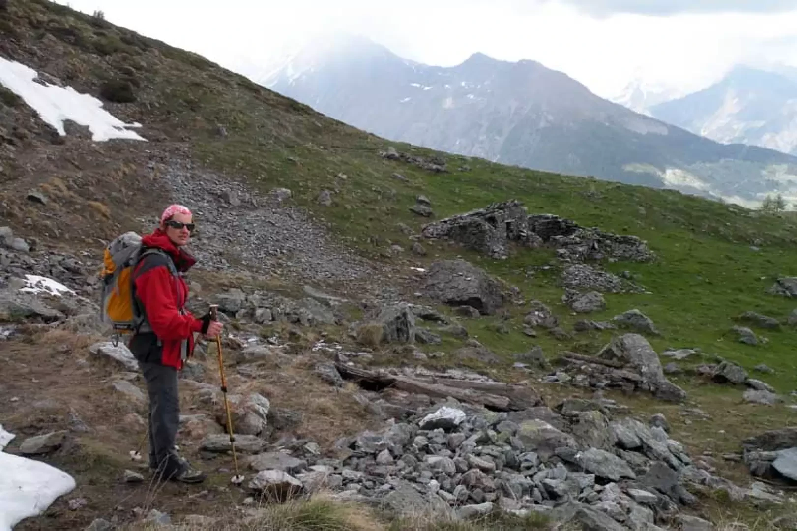
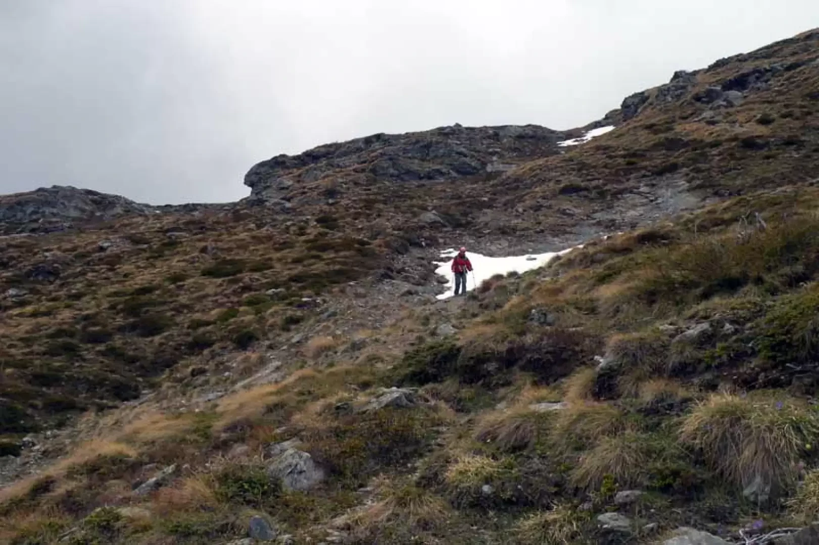
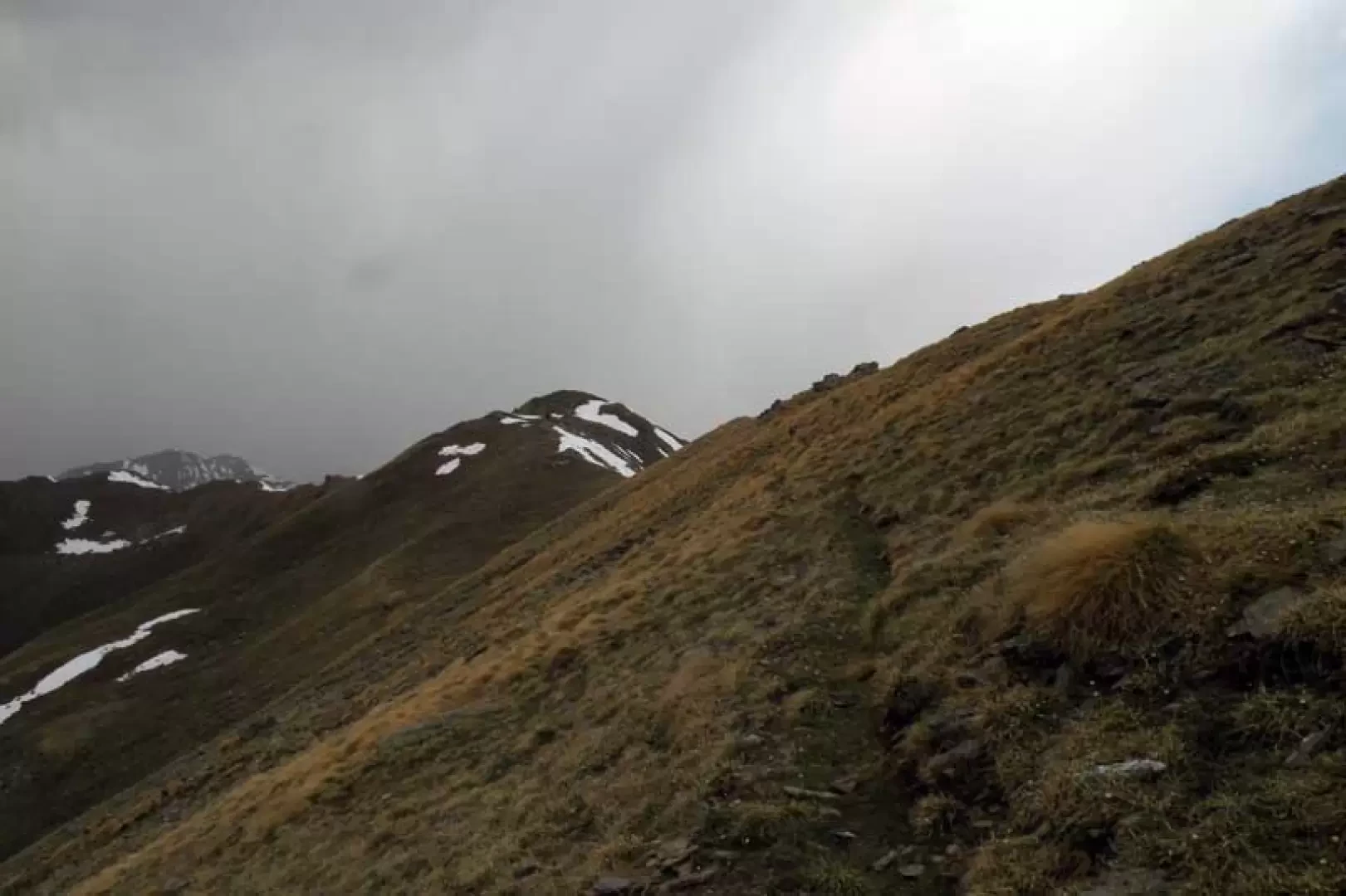
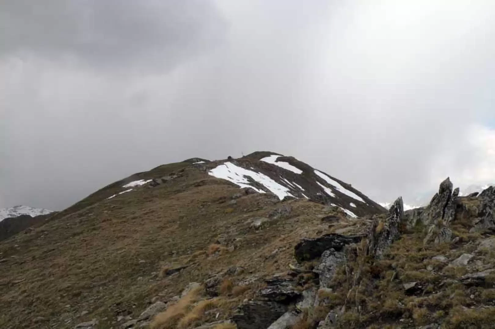
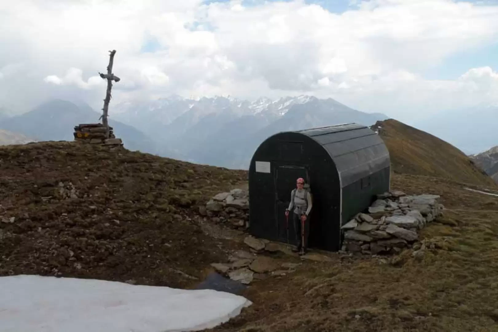
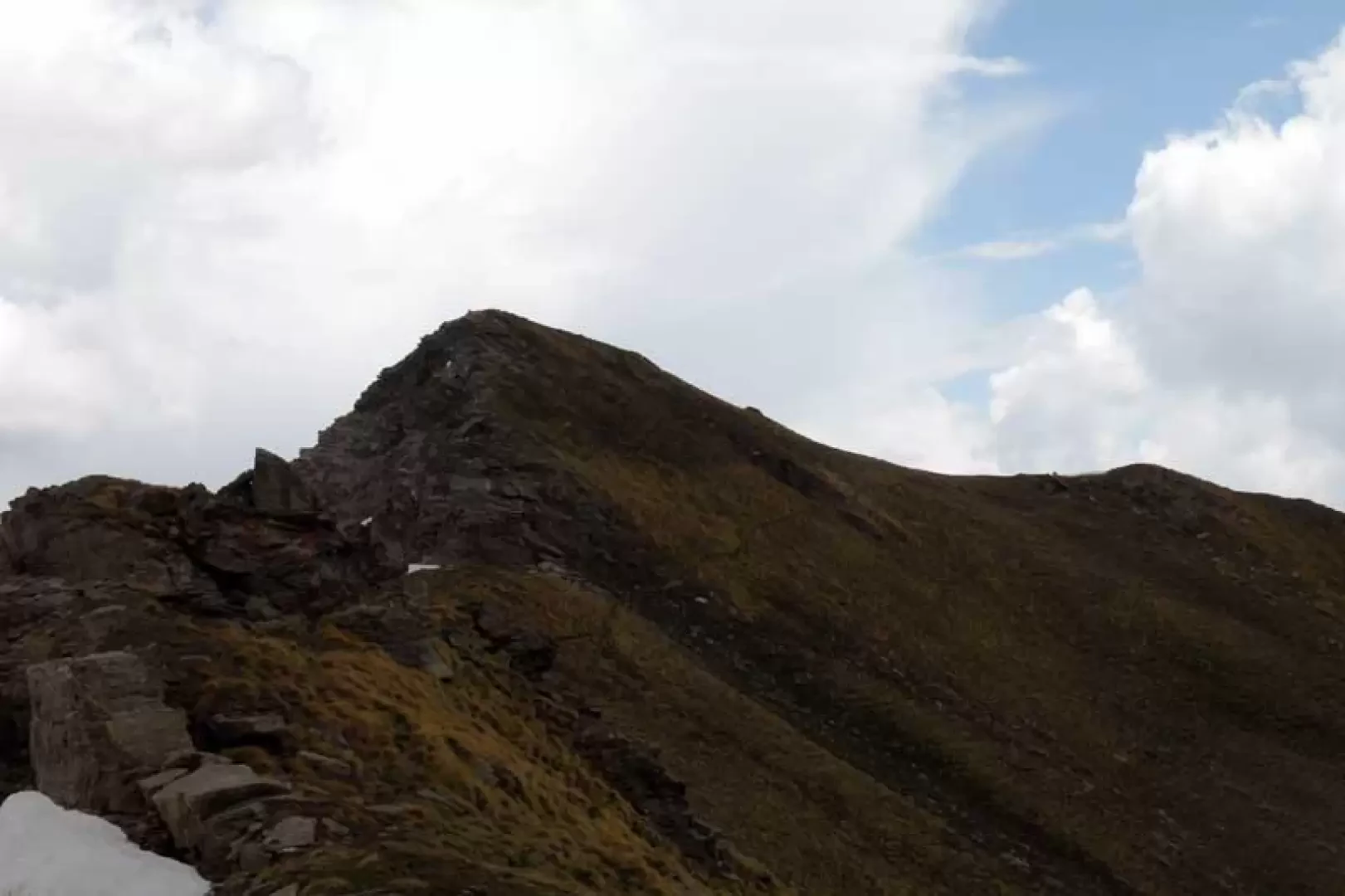
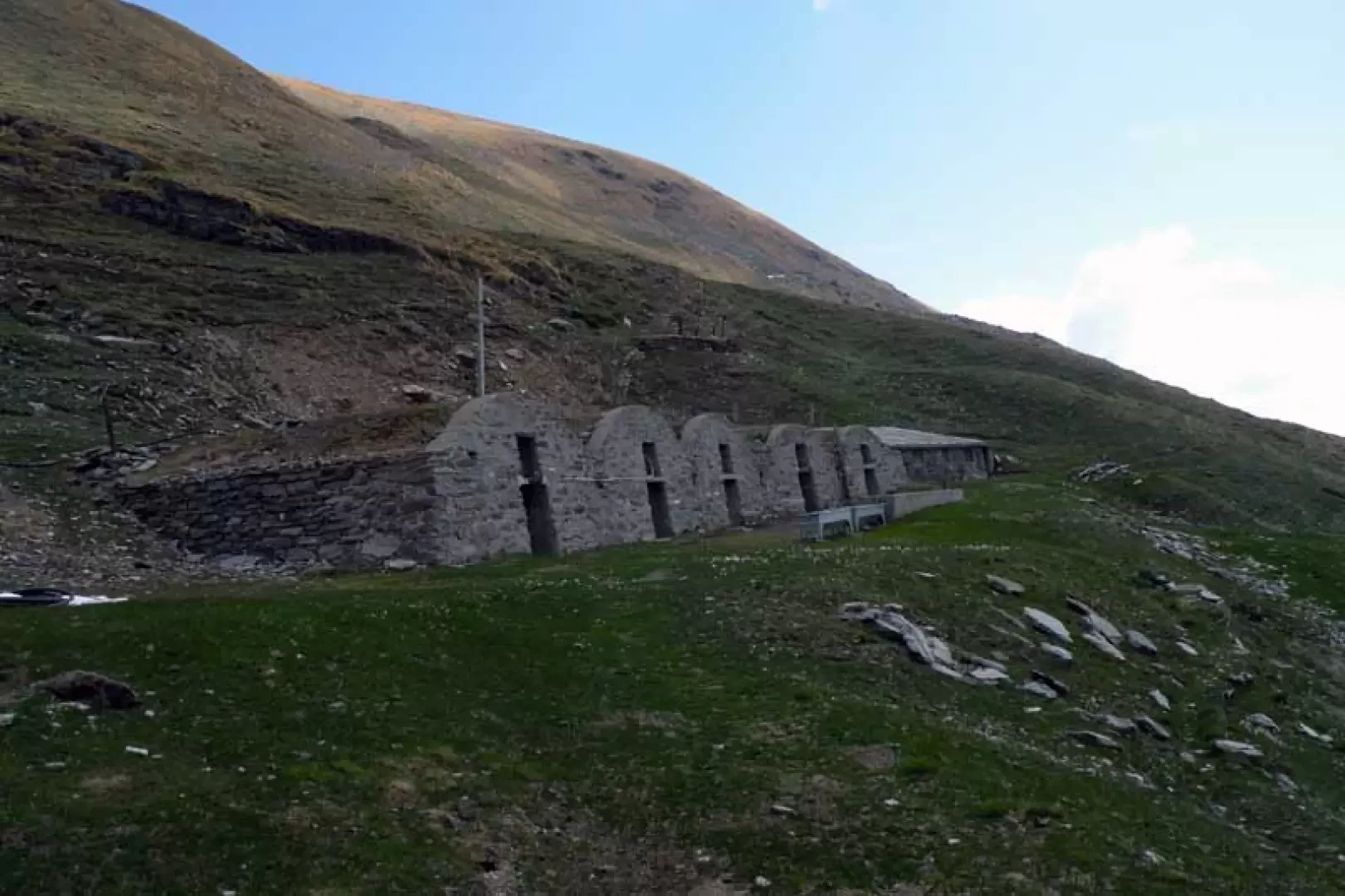
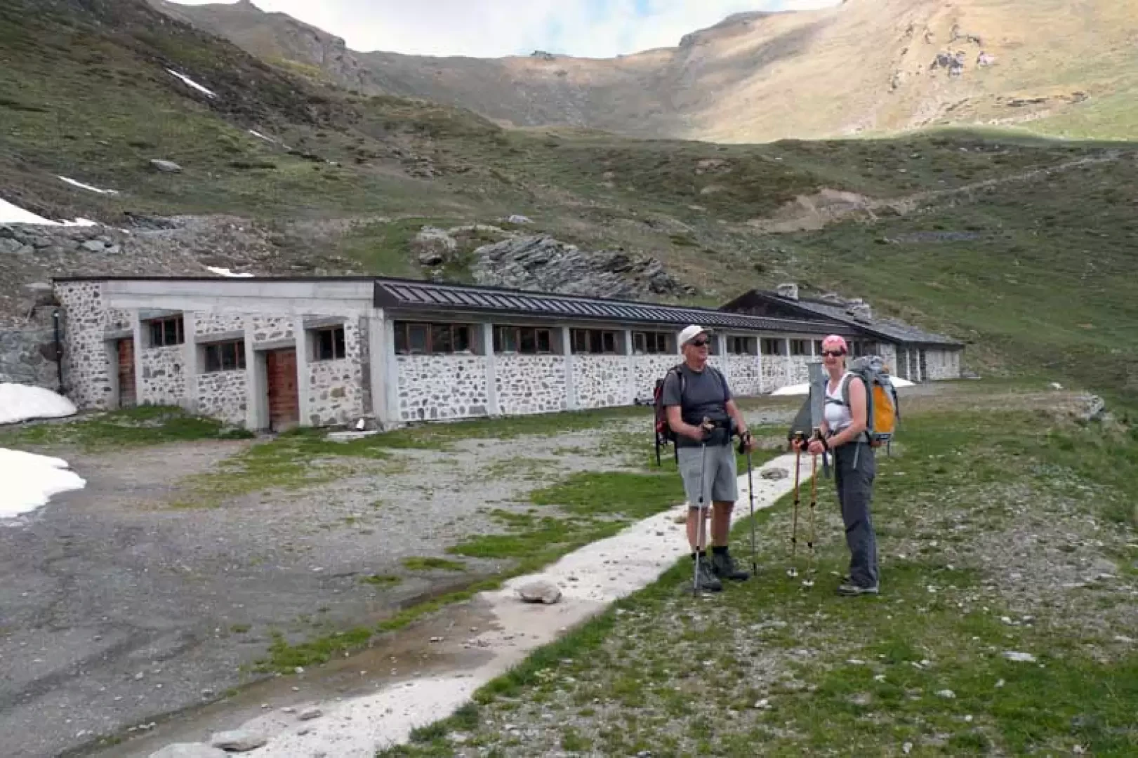
From the bend, take the road on the left signposted for the Chaligne hut and walk along a few hairpin bends of the farm track passing by the Mendey hut (1570 m) and, a little further on, at a retaining wall, turn right onto another small road following the obvious yellow marks on the stones and then continue straight on, ignoring the path that comes off to the left signposted by a small post (1594 m). Continue along the scenic road as far as some waterworks to the left of which you take a path that crosses a coniferous forest rising gently until it crosses a wide grassy mule track (1723 m) that you follow to the right, keeping to the left at a nearby fork, arriving almost immediately at the Meriau damon hut (1743 m). Still on the mule track, continue into the wood, leaving it to cross, slightly uphill, a beautiful pastureland, at the top of which is the panoramic Collet pastureland (1929 m), which can be reached by turning right onto a farm track. This takes a long, level traverse, passing along the side of the mountain in a beautiful wood, at the end of which is a wide valley in the centre of which is the Ars pastureland (1994 m), which can be reached. Walk along the road again, which, with a couple of bends, arrives at the upper plateau where, just before crossing the small stream, there is a little stone cairn on the right from which starts, barely visible, a path marked by faded yellow marks (2038 m); Once on it, the trail rises immediately into the forest, then bends to the right around a high rocky spur to reach the ruins of the Crépon alpine pasture (2,253 m), from which the path, which in places is reduced to a track, rises steeply up the flank of stones and low vegetation. The trail, after deviating sharply to the right, reaches the scenic ridge of the Cȏte Labiez, at first traversing it on the south side and then, having reached its edge, traversing it to reach a clearly visible wooden cross next to which is a forestry bivouac (2615 m) and from which one rises a little further up the wide ridge to shortly reach the summit.
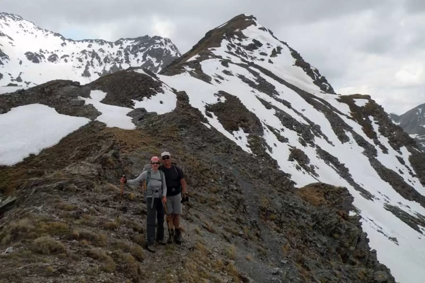
The natural conclusion to this climb is to reach the nearby Col d'Ars and then, returning to the path, turn right and continue on the south side of the summit and with a traverse cut across the grassy summit slope of Mont Labiez, to return to the edge of the ridge on the opposite side. With a few slightly exposed ups and downs, walk along it for a few dozen metres and you reach the col (2547 m), where the path coming from the Flassin valley is on the right.
In the descent, if you wish to shorten the route a little, either from the pass or from the traverse below Mont Labiez, you can descend the easy grassy slopes without any obligatory path, heading for a pasture below with its characteristic vaulted roof (2374 m) from which a mule track descends to the Tsa d'Ars pasture (2267 m). Now continue along the road and descend comfortably down to Comba d'Ars, reaching the junction at an altitude of 2038 m and then continue along the outward route.
Galleria fotografica