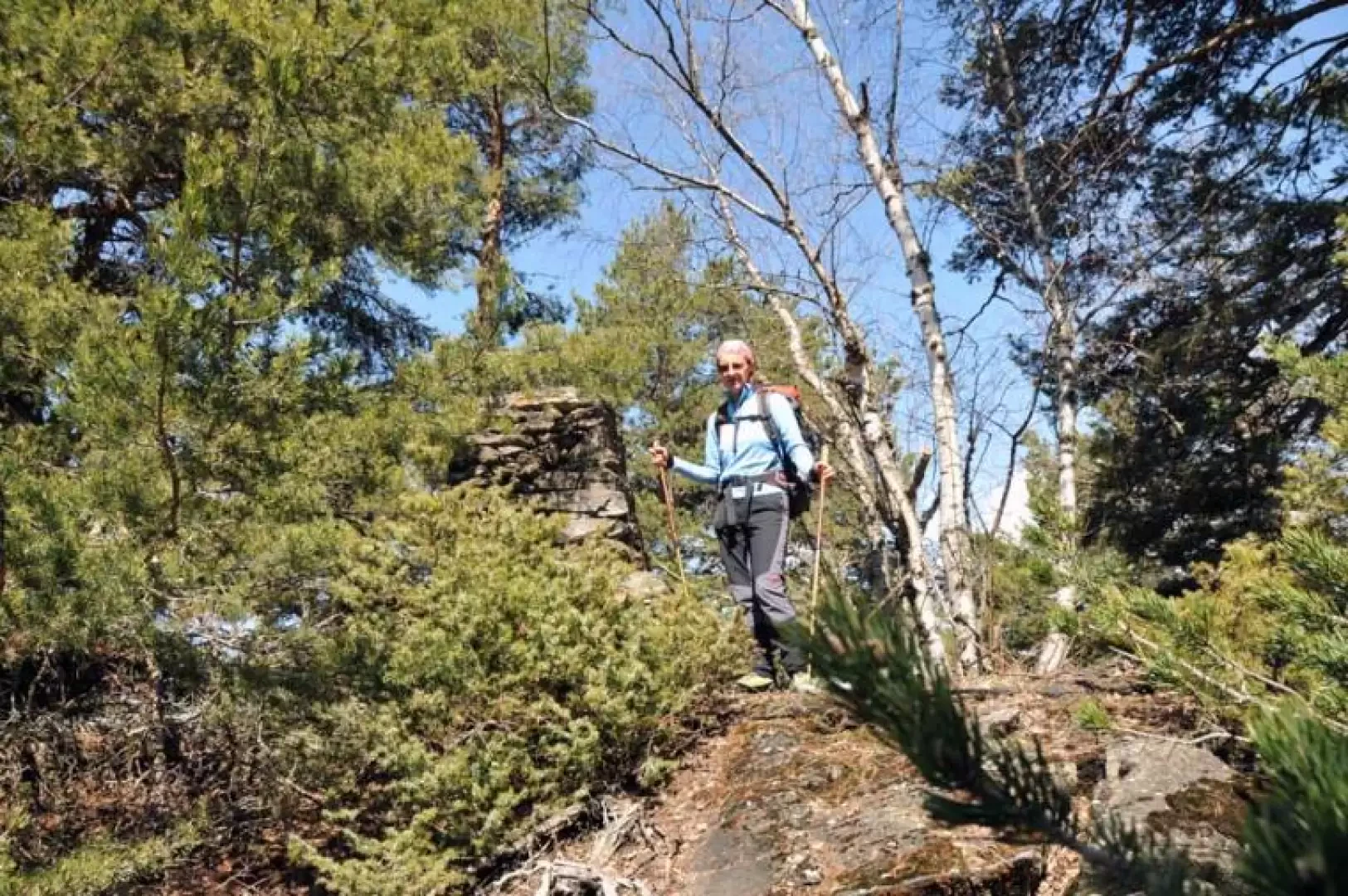
Mont de Poignon, from Pondel

Access
You take the as far as the Aosta barrier, pass it and exit at the next tollbooth, Aosta ovest. Take the direction for Cogne and, after a few kilometres past the village of Aymaville, you will find the junction on the right with signs for Pondel; after a short descent you will arrive near the first houses and park your car in the convenient car park in front of the village.
Introduction
The not very high altitude and the optimal exposure make this hike one of the first that can be done in early spring. The outward route is on a path marked by yellow markers, whereas from Grand Poignon onwards there are no markers on the return path. In this section, after winters with heavy snowfall, you may find many fallen trees that could create some problems in getting around in the forest, which is quite steep.
Description
From the car park, walk towards the houses, which you cross following the signs for the Roman aqueduct located just beyond the houses. One crosses the narrow gorge passing the splendid and well-preserved stone aqueduct from the Roman era and arrives at its end at the posts indicating the beginning of the path. Take the turnoff to the right and start walking on the path that climbs gently up the hillside into the forest. When we come to a fork in the path at an altitude of about 1130m, we take the right-hand turning (we will come back on the left-hand side) and gain height, climbing at a decidedly steeper gradient. After less than a hundred metres of difference in altitude, we come to a concrete aqueduct that cuts through the wood and we skirt the wall, with a signposted marker, on the left, briefly ascending diagonally and then starting to climb again with hairpin bends that climb up the steep wood. After a short stretch of path protected by a wooden staccato, you reach the first huts of Petit Poignon (1540m), which you leave on the left and, now taking the farm track coming from the opposite side, walk along the wide ridge towards the north-east, leaving on the left the junction for Chevrére indicated by a marker and arriving shortly at the Luigi Sertorio P.N.G.P. hut (1559m) on the left on a small rise between a few trees. Continue up and down a few more hundred metres and, somewhat hidden by the vegetation, on a small rise to the left of the farmstead, you will find the stone boundary stone of the summit (1567m). For the return journey, take the reverse route to Petit Poignon and continue along the farm track, which now becomes a wide mule track, passing a few posts and skirting the wooded slope of the mountain on the left. After a short while, you reach the ruins of the Grand Poignon mountain pasture (1571m). On the right of the only well-preserved building, the path begins, descending and rapidly losing altitude, zigzagging through the forest where several trees felled by the weight of the snow are encountered. You pass a ruin half-hidden by the vegetation and arrive at a crossroads (about 1200m); keep on the path to the left, making a slight descent to the left, passing by an old dry stone wall and shortly afterwards rejoining the outward path, which you retrace as far as the starting points.
.