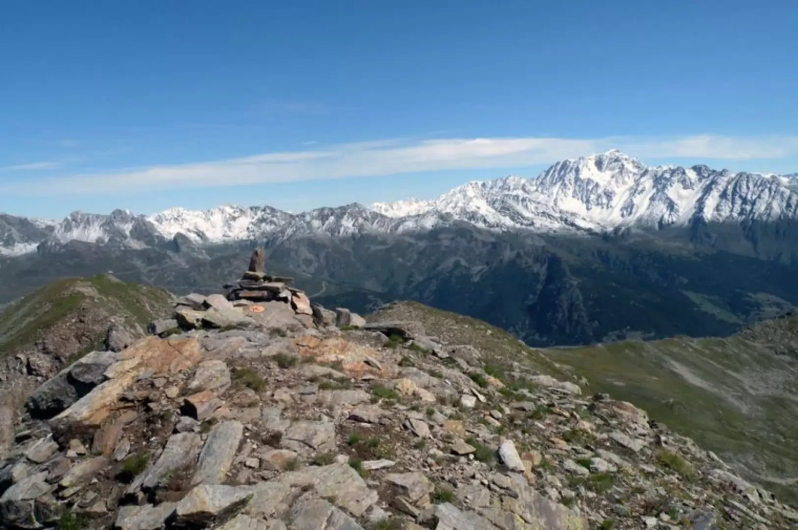
Mont de Flassin, from the Pré Neuf car park

Access
From the motorway, exit at the Aosta barrier and follow the signs for the Gran San Bernardo tunnel. Continue along the state road past the village of Etroubles, and just before the village of Saint-Oyen, a road leads off downhill to the left, signposted for Foyer du Fond and Camping Pineta, where you can leave your car in an open space on the right opposite the entrance.
Introduction
Long and easy hike up to Col Flassin, but it becomes more challenging and exposed beyond, but we will certainly be rewarded...
Description
To the right of the campsite entrance are the starting points for the itinerary, which, on an asphalted track for a few dozen metres, enters the sparse forest without too much of an incline. After passing a stable on the left of the road, we temporarily leave the forest to walk on the edge of a grassy expanse used as pastureland and, after passing an alpine pasture, we begin the ascent into the beautiful forest with comfortable hairpin bends. We pass the pastureland of Flassin de meiten (1654m) and continue, still on the track that will accompany us for most of the itinerary, to pass the pastureland of Flassin (1700m), which has a small votive chapel in front of it. After coming out of the forest, we skirt the valley on the left and make a wide semicircle to the right to reach, at the end of the track, the alpine pastureland of Tsa de Flassin (2258m). Shortly before the alpine pasture, a path starts to the left (yellow marks on a boulder) that, with a track that is not very evident at first, insinuates itself between numerous grassy bumps and, at the next well-marked fork on a rock near the crossing of a stream, turns left to head towards the now close and evident pass. After a few hairpin bends, the route cuts up the eastern slopes of Mont de Flassin, overcoming short landslide sections, and continues until it reaches just below Col Flassin, which is reached with a few steep zig-zags. From the pass, head right on a not very evident track towards the initial rocks and scree of the ridge marked by faded yellow bolts. One immediately overcomes a steep and tiring section of fine scree on the right-hand side of the ridge to reach some rocky steps that allow one to cross the first 'dentino'. Continue on the right side over a few small rocks and then climb up again laboriously, on the track that is now slightly more evident, zigzagging along the ridge that becomes a little wider. Overcome a few small rocks again on the somewhat exposed ridge, which then widens out and becomes more comfortable. Once you have passed a small peak, you can easily reach the nearby summit topped by a little stone man.