Nestrelli meadows, from Mello

Edited by:
Marco Bonati
Updated at: 04/05/2025
Access
From Milan to Cosio Valtellino along state roads 36 and 38; at the end of the highway continue for a few hundred metres on the "old" 38 until the crossroads at the Cosio-Traona railway station. Turn left towards Traona and, at the end of the straight stretch, continue to the right for a few dozen metres; at the sports field turn left towards Mello. On reaching the small village of Costiera dei Cech park in one of the limited spaces available near the church.
.Introduction
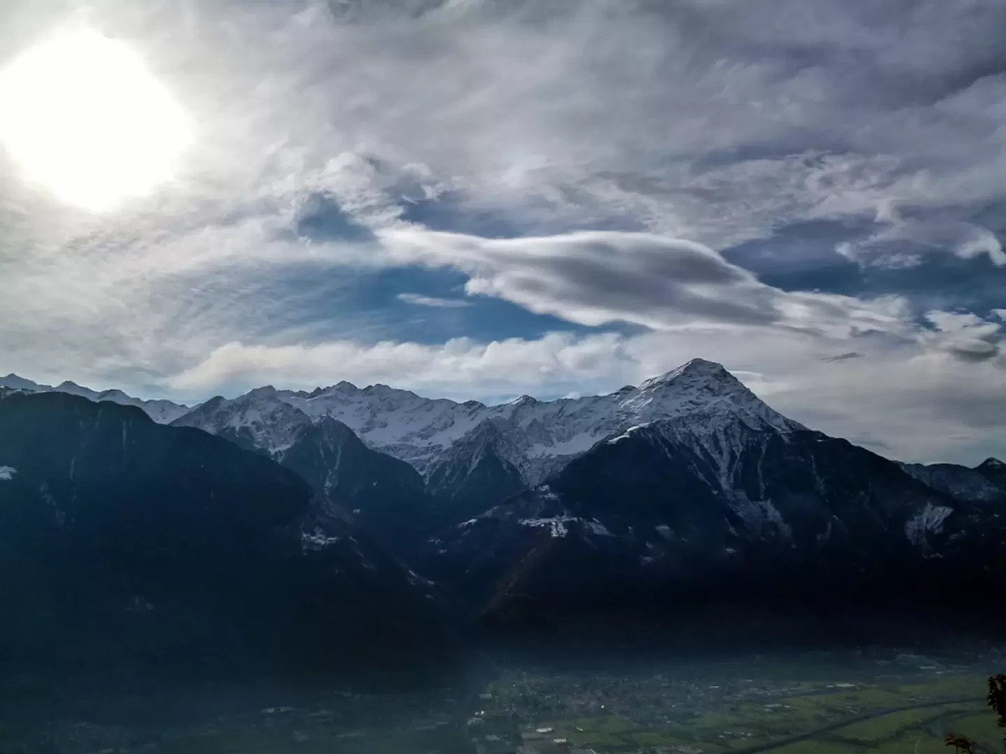
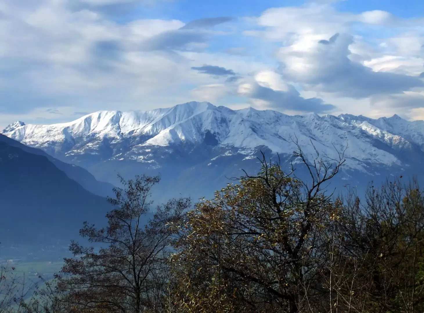
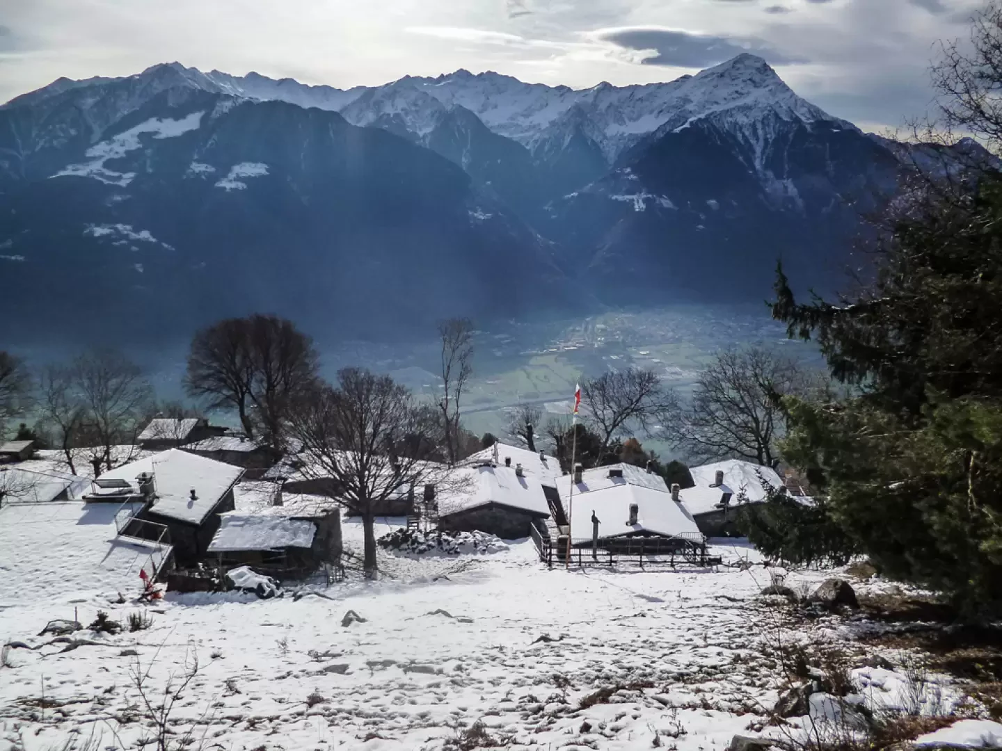
A hike without any difficulty, but rather long, which lends itself to being done in mid-season, when the heat or snow is not excessive along this sunny slope. The crossing of the inhabited areas is mainly of artistic interest due to the numerous religious buildings encountered, while the return to altitude through a series of "maggenghi" along a recent (2002) forest track allows a privileged viewpoint over the Bassa Valtellina, the Orobie and the upper Lake Como.
.Description
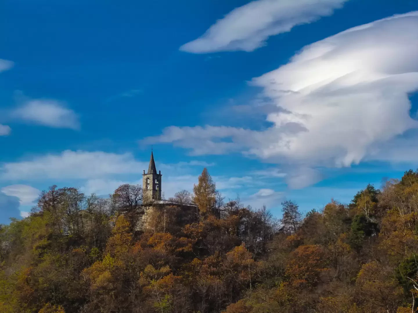
From the parish church of Mello (681m), following Via Don Antonioli, Via Roma and Via San Giovanni, we pass the few houses of the Bernedo district to continue along the dirt road which leads - having passed the Vallone di S.Giovanni with a stream - to the wooded knoll which houses the church of San Giovanni di Bioggio (697m). We come to a fork in the road: leaving a dirt road to the right (return route), we continue on the asphalt road that enters the chestnut grove on a level ground; it is a long traverse that then becomes a downhill slope, passing the village of Cercino (526m) and finally reaching the municipality of Cino (487m).
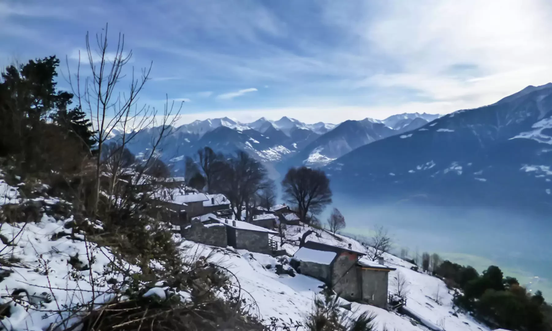
The narrow main road must be followed to reach - beyond the Val Maronera canal - the fork that to the right leads to the sports field: at the top of the very steep parking area for equipment and services, there is a further fork. Leaving the monotonous forest track to the right (which we will reach at the end of the climb), we continue to the left along a cemented road indicated as closed-bottomed. After a few hundred metres in a traverse to the left, the track becomes steep along the line of maximum slope: as the slope diminishes, at a bend and identified by a painted sign, a beautiful mule-track comes off; here begins a long series of hairpin bends, regular and with an implacable slope, which leads again - as mentioned - to the forest track a short distance from the low margin of the Prati Nestrelli (1178m).
The track ends as it joins the so-called "tagliafuoco" (firebreak), which runs along the entire extension of the Costiera dei Cech from the territories of the municipality of Dubino to those of the municipality of Civo (with the exception of the impassable crossing of the high stretch of the Vallone di San Giovanni). The trail follows the firebreak to the right in a continuous gentle ascent: it runs above Prati Nestrelli and crosses the pastures of Prati Cuper (1311m) to the Prati Bioggio crossroads (1348m).
There you begin to descend to the right along the thick hairpin bends of the forest track that, beyond Prati Aragno (1146m), runs steadily up the slope to a fork: leaving the cartroad to the right that leads to Bioggio (771m) (church with valuable frescoes), you take a short traverse to the left that descends again to the church of San Giovanni di Bioggio. From here, up to Mello, along the outward route.
Galleria fotografica