The Priafaia Mountain Ring
Introduction
A ring from Ceresa in the Alpicella area (SV) Monte Beigua park.
Description
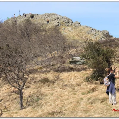
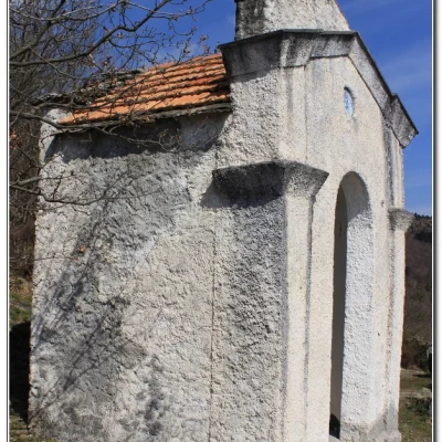
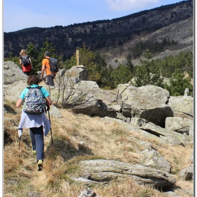
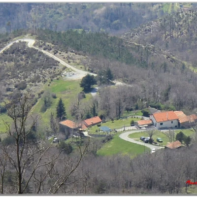
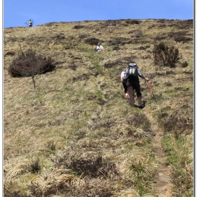
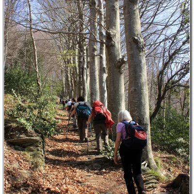
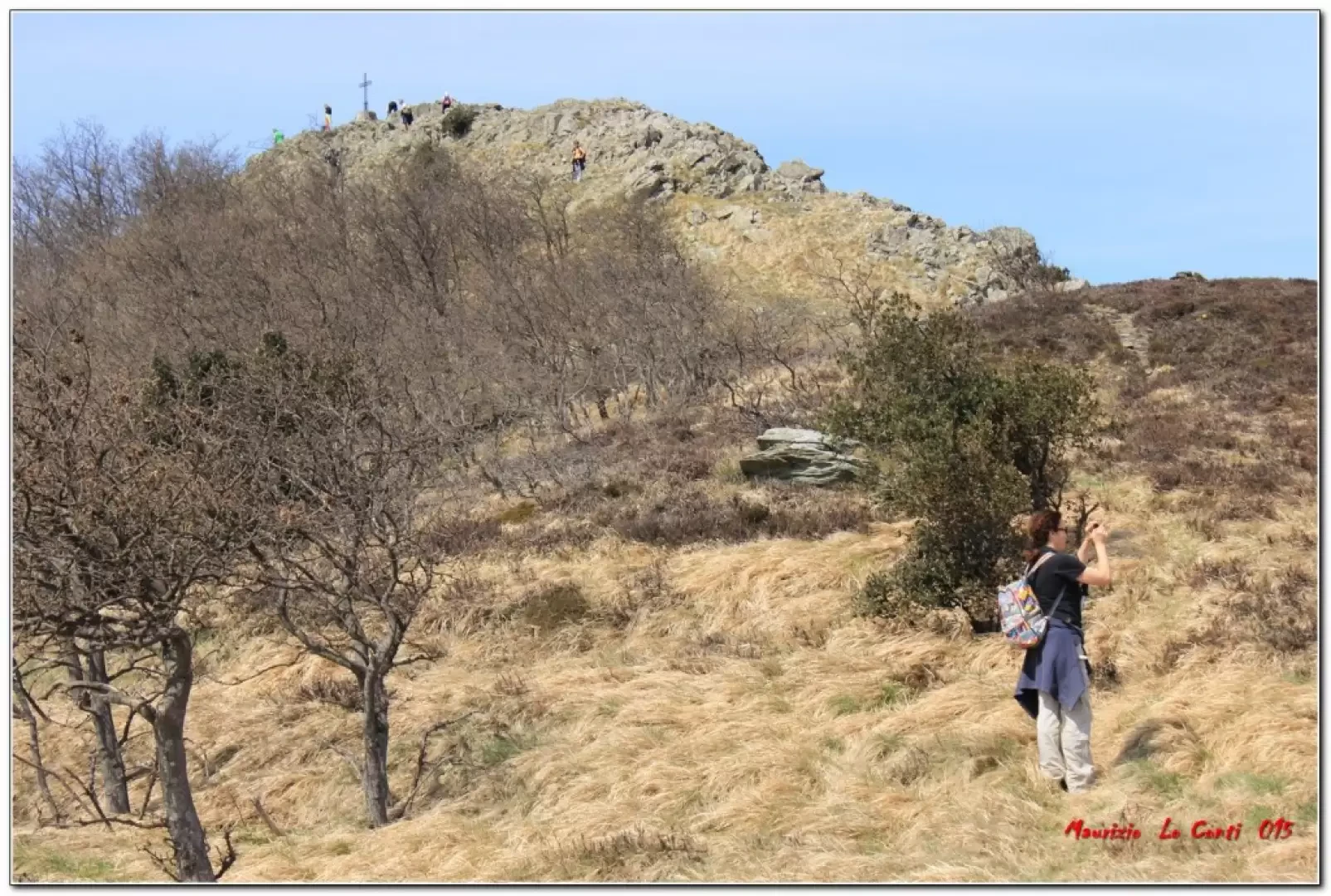
We set off from the last houses of Ceresa (hamlet of Alpicella - motorway exit at Varazze, SV, 14 km) with very few parking spaces. We follow the red T, paying attention to a couple of inconspicuous forks and conquer Mount Greppino (30' - 678 m), from which the view is extensive. Despite having just set off, one can calmly enjoy the place. Once back down, from the votive pillar, walk to the right without any symbols until you find the FIE pillar (red cross - 15'). This leads up the path, past a series of monumental beech trees and crosses the 'megalithic road' (20'). Another short break, to visit the area whose true significance is not well defined. Afterwards, we climb the Fie sign again, for about 40', and, at an altitude of about 880, we come to a fork. The route climbs to the left, briefly but very steeply (fortunately it is a limited height difference... but still, given the southern exposure, you can struggle). Finally, in about 30', we reach the summit cross of Mount Priafaia (964 m). The lunch break is with magnificent views in all directions. After the break, we continue along the ridge without any markings (reaching an altitude of 980 m). Only, from time to time, the characteristic (and also numerous) stone cairns. Kudos to those who have worked so hard. After 30', you find the Fie symbol empty red triangle, which you now have to follow (if you go up to the right, you might see the stones scaled by the sledges). Instead, you descend into the forest and pass an abandoned farmhouse... about 30' and there is a fork where you have to abandon the Fie track (which veers to the right) to continue left on a mule track without signs. In 10' there is another crossroads, where you turn right (red L). After a further 10', you come to a fantastic viewpoint over Alpicella, at the Cappelletta di S. Anna. Here you can descend to see (to be avoided if wet - very careful for jumps into the void that are in no way protected!!) to 'rock shelters'. Another short stop by the construction and, in about 20', back to the car.
All in all: Beautiful day, a bit hot in the middle hours disl 500 mt Dif. E for about 4h Total + the breaks to see the various places you come across
Trips and excursion photos: http://www.cralgalliera.altervista.org/AnelloMontePriafaia015.pdf
http://cralgalliera.altervista.org/SopralluogoCeresa015.pdf
http://cralgalliera.altervista.org/Alpicella014.pdf
Trips photo from 2003 with the terrain scaling: http://www.cralgalliera.altervista.org/alpicella4.pdf
NB: In the event of an excursion, always check with FIE, Cai, any park authorities or other institutions, pro loco, etc., that there have been no changes that have increased the difficulties! No liability is accepted. This text is purely indicative and not exhaustive.
Info Hiking Section Cral Galliera: http://www.cralgalliera.altervista.org/esc.htm
trips 2015 at link: http://www.cralgalliera.altervista.org/gite015.jpg
