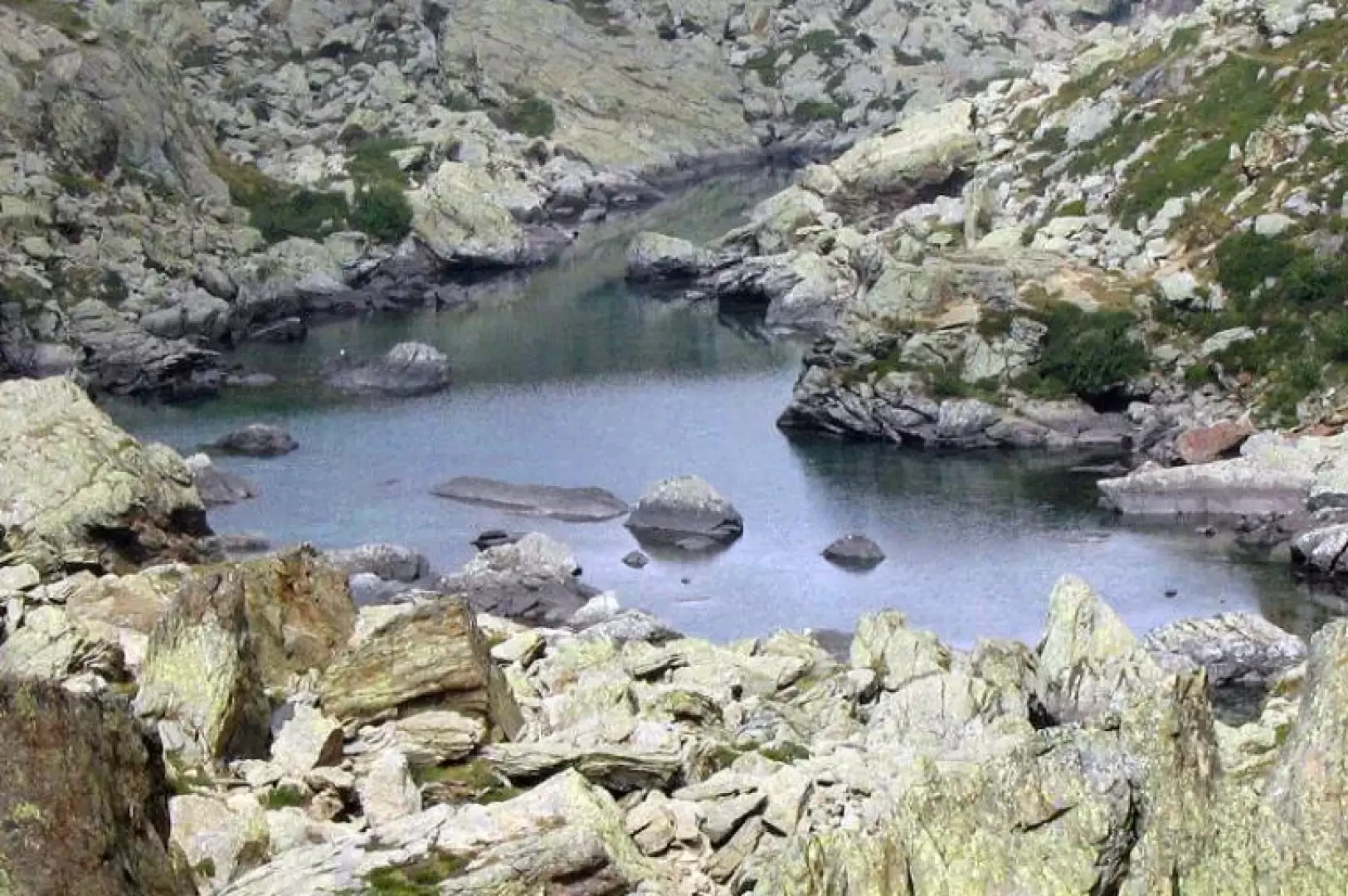
Green Lakes, from the Cornets of Balme

Introduction
A rewarding loop hike in an unspoilt environment, populated by numerous chamois. The route, mostly on the GTA (Grande Traversata delle Alpi) - SI (Sentiero Italia) trail, is also suitable for inexperienced hikers. Caution is only recommended in the stretch between the lower Lago Verde and Lago Paschiet, where the lush vegetation of alders and rhododendrons can make the path difficult to see.
Description
Take the obvious off-road track that in about 5 minutes leads to the very old hamlet of Frè, once famous together with Cornetti for its mining activity (the place name Frè in fact means "blacksmiths"). At the end of the cart-track, cross the stream and enter a sparse larch wood; fording the stream again at the end of the vegetation, you reach Alpe Pian Salè (1580m, 0h30'), which rises among pastures and mounded rocks. From here, continue to the left through a grove of larch trees: this leads to the wild, sunken Vallone di Paschiet. With a regular and not very strenuous walk, you pass two mountain pastures and, ignoring the diversions to Lake Paschiet, continue to the plateau where Alpe Pian Buet (2006m, 1h20') is situated: from the mountain pasture, climb up through the dense vegetation and in about 40 minutes, having passed a col, you come into view of the limpid Lago Verde Inferiore (2142m). In a few minutes you also reach Lago Superiore (2154m), with its characteristic elongated shape: both rise in a wild basin dominated by the rocky Torre d'Ovarda, Punta Colai and Cima Chiavesso, and owe their name to the colour of their waters. Just upstream (10 minutes from Lago Superiore) is the Gino Gandolfo bivouac (2300m), near which you can also see the ruins of the old S.A.R.I. refuge, built in 1911 to facilitate access to the mountains in the area and destroyed during World War II. From the Lago Inferiore, leave the ascent route and go up to a col, after which you enter into view of Lago Paschiet. Descend for about 20 minutes along a slope of alders and rhododendrons, until you reach the shores of this lake basin with dark but clear waters, lying in the lower part of the stony and wild Vallone degli Ortetti.
Descent
From the wide plateau of Lake Paschiet, take the right-hand side of the Vallone degli Ortetti and begin the descent on a slope of alders and rhododendrons, which often make it impossible to see the path; you will soon reach the Alpe Paschiet farmhouses, from where the uphill path can be reached in a few minutes: at the junction for Lake Paschiet (which was missed on the way up), continue along the uphill route.