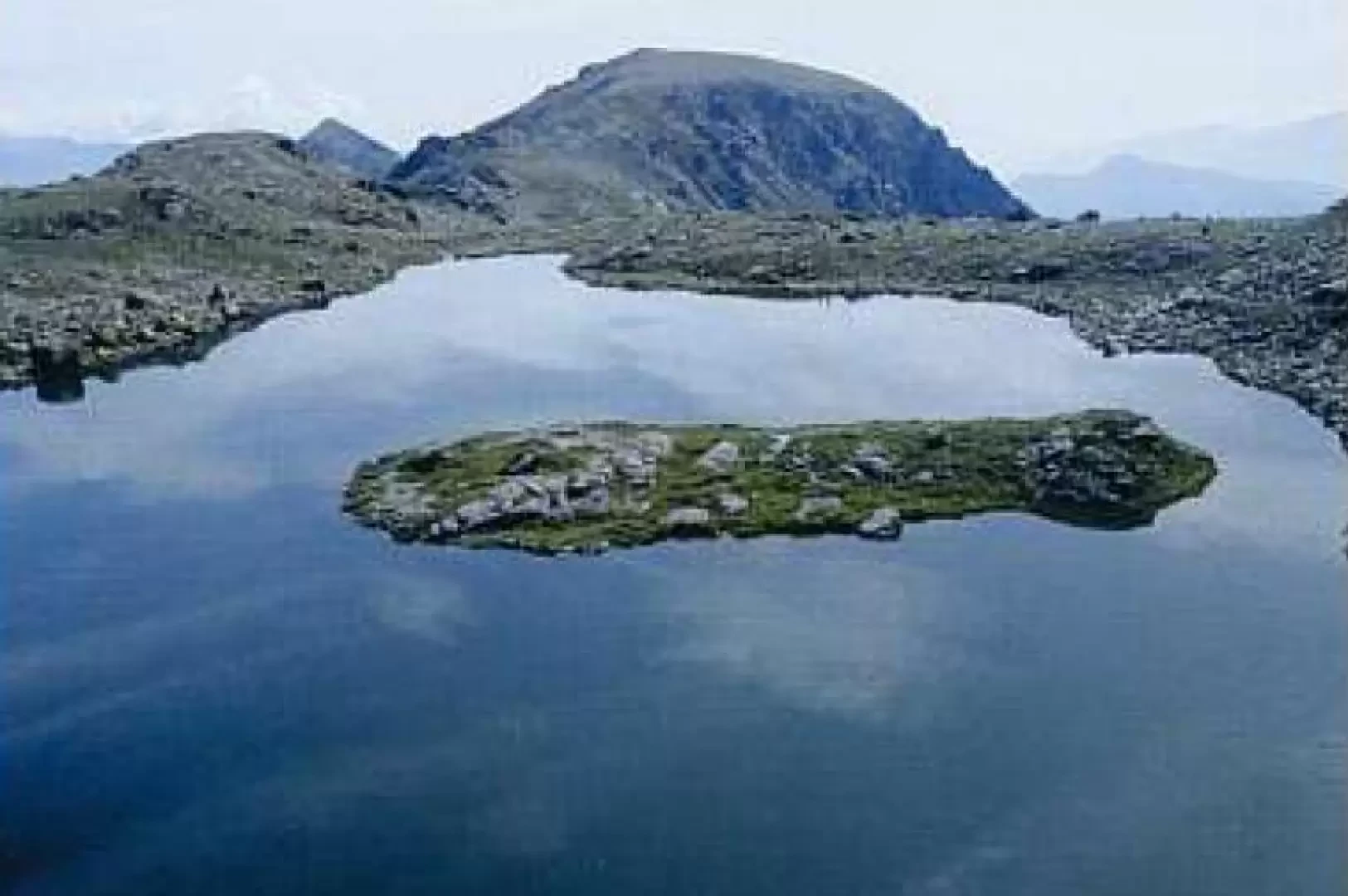
Lake Viana, from Alpe Bianca

Introduction
Easy and scenic trail, also suitable for inexperienced hikers. Lago di Viana is in an area where there are numerous other bodies of water a short distance from each other, on the watershed ridge between Val di Viù and Val d'Ala.
Description
Near a ski lift, the road becomes unpaved and, with several turns, leads to a grassy plain where the path begins (follow the sign on the left for Laghi di Viana). After crossing a stream, the path becomes slightly steeper and soon reaches the Rocca dell'Alpe (1787m): a splendid view of the Tornetti amphitheatre, dominated by the unmistakable outline of the Rocca Moross. From the pastures below, turn left between the grassy rises and gain the plateau where the small Veilet Lake lies (2070m, 1h45'). Skirt the right bank and take a not very evident track slightly downhill; a flat section follows and then an ascent between grass and rocks. On an evident path, you reach Lake Viana with its characteristic rocky islet in the centre of the lake. In addition to the aforementioned lakes, it takes about 5 minutes to reach the Tre Lajet pass (2210m), a panoramic viewpoint over the Val d'Ala, the Gran Paradiso massif and Monte Rosa; from the pass, you can push on to Lake Lusignetto (2174m, 0h15'), in the Vallone di Lusignetto in Val d'Ala, and admire the panorama of Monte Rosso d'Ala with its iron mines. The return is along the ascent route.