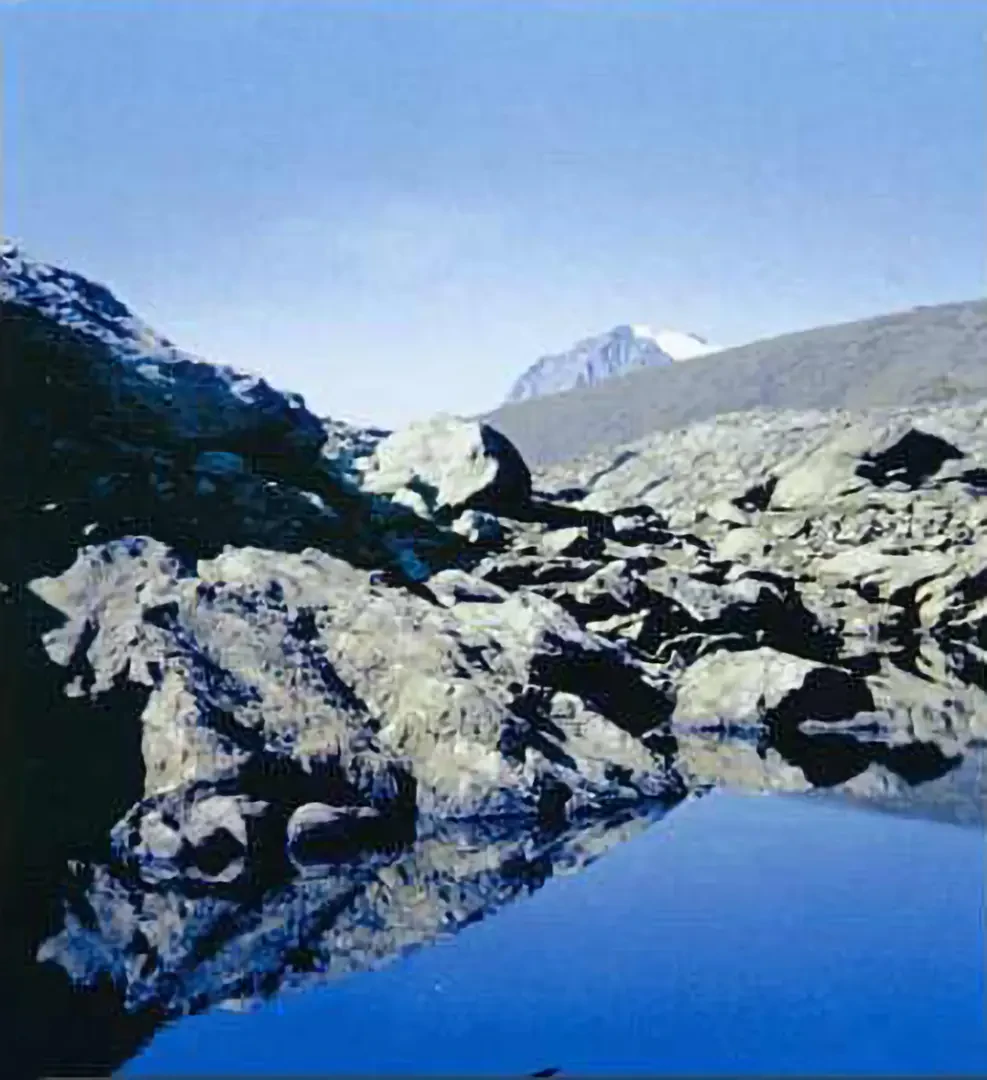
Lake Ru, from Pian della Mussa

Introduction
Easy hike, mostly halfway up the hillside, of great interest from a naturalistic point of view. Not advisable in foggy weather, as the last part is on smooth rock and the trail may not be very evident.
Description
In a few minutes, you reach the Rifugio Città di Ciriè (City of Ciriè Shelter). To the right of the building, take a path that leads uphill and, skirting a stream, reaches the Piano della Ciamarella, a typical glacial cirque (2100m, 0h45'). In this green amphitheatre, dominated by the south face of the Uia di Ciamarella and the wild spur of the Albaron di Sea, moraine deposits are visible frontally and laterally, remnants of the glacier that during the last ice age was lying on these pastures. It is easy to encounter numerous marmots. At the beginning of the plateau, go to the right and follow the path that, with a moderate incline, reaches the Alpe della Rossa (2229m, 1h15'). From this panoramic mountain pasture, from which the entire upper Val d'Ala and the Pian della Mussa below can be seen, continue in a south-easterly direction (towards the lower valley) on a path overhung by a rocky escarpment. With a slightly strenuous walk (approx. 4 km), we reach the Lago del Ru (2570 m), of glacial origin and set like a precious stone in the reddish-brown rock typical of the area, which gives its waters a very dark colour: this is serpentine, a grey-blue rock that takes on a rusty colour as a result of iron oxidation. Serpentine is used to make loze slabs, which are used for roofing. The basin, populated by numerous ibexes, is dominated by the west face of Uia di Mondrone (2964m). It is possible to reach nearby Lake Mercurin (2491m) via a steep, scree-strewn gully, which leads into the small valley parallel to Lake Ru. This is not recommended in case of poor visibility and for inexperienced hikers. Descent by the ascent route. At Alpe della Rossa, it is also possible to take the easy path to the Grange della Mussa (1761 m), located halfway up the Pian della Mussa. It takes about 10 minutes to return to the car by following the tarmac road back to the valley floor.