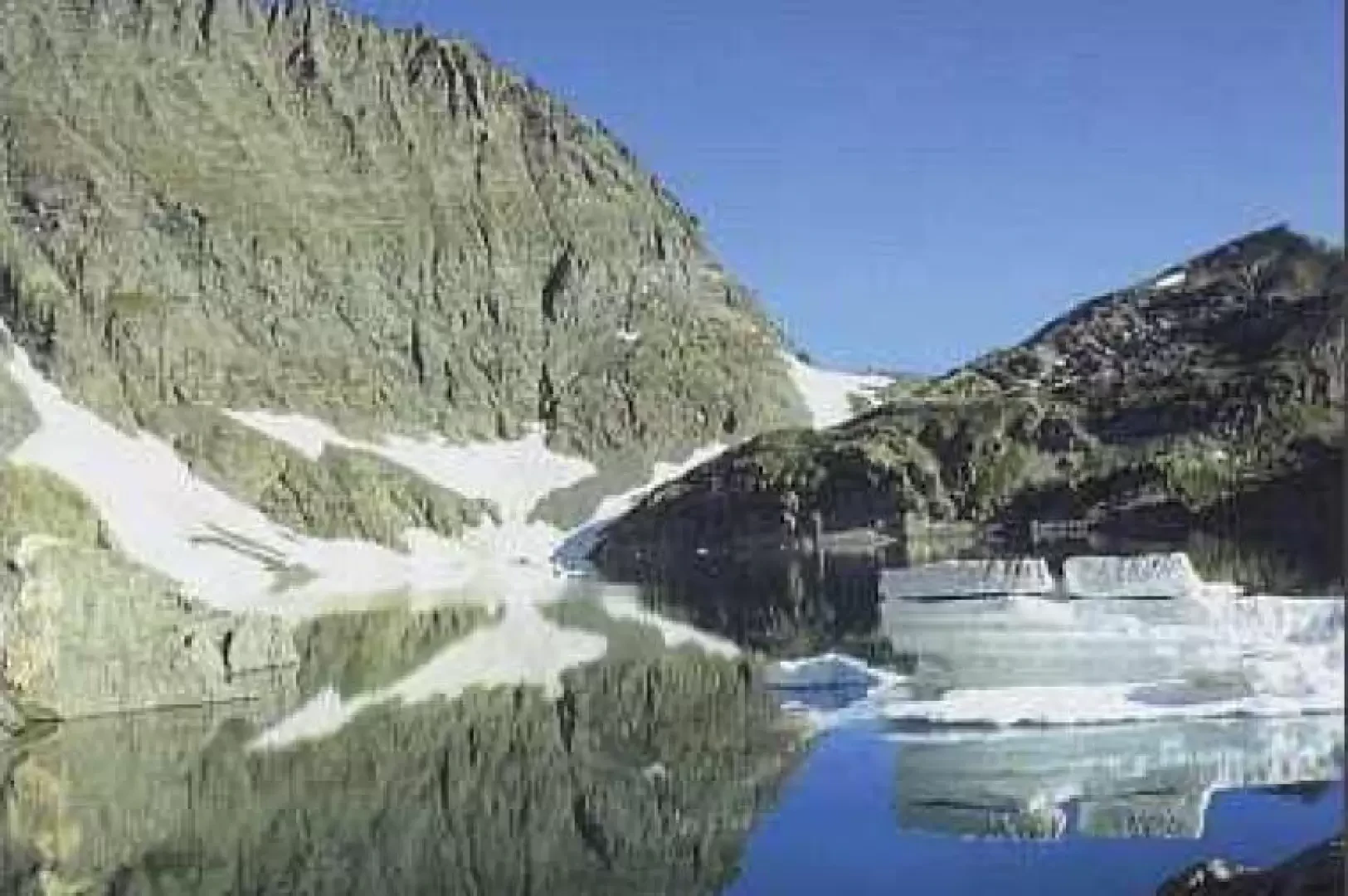
Red Lake

Access
From Lanzo, continue in the direction of Germagnano, Pessinetto and Ceres, then take the Val d'Ala provincial road to Pian della Mussa; it is advisable to park your car near the Bricco Restaurant.
.Introduction
The highlight of the hike is the variety of landscapes. The trail is recommended for trained hikers, given its length and some rather strenuous stretches. The Lago della Rossa is one of the most popular destinations in the Lanzo Valleys: the basin is bordered by a dam that has increased the reservoir, making it semi-artificial.
Description
From the restaurant, cross the Stura stream over the bridge and head towards a white building (Villa Sigismondi) from where, with a slight climb to the left, you enter an intricate grove of alders and hazels. At the end of the vegetation, near a crossroads, continue to the left and soon reach the Pian Saulera plateau (2070m, 0h45'). From the alpine pasture, take a track and, ascending a modest slope, reach a plain crossed by small streams. Continuing towards the bottom of the basin, we turn right and enter the terminal part of the Vallone di Saulera, bordered on the left by the rocky slope of Punta delle Serene (2643m) and on the right by an imposing rampartation. The path bends to the right and, skirting a rocky wall, leads to the wild, narrow notch of the Mangioire Pass (2768m, 3h00').
At the pass, there is an exceptional panorama of the Vallone di Arnas and its amphitheatre. A slight descent leads to the wide basin of the Ripiani di Bessanetto and Bessanetto Lake (2747m). After crossing the plateau, continue in the direction of a rock face incised by an evident detrital gully: go up it among the scree and, at the end, turn left until you come in sight of the Bivacco San Camillo and the Lago della Rossa, in whose basin Punta Maria (3302m), Punta Arnas (3560m) and the hanging glacier of the Croce Rossa (3566m) are reflected.
At the beginning of the summer season, it is easy to find its crystal-clear waters still partially frozen, with the characteristic blocks of ice slowly shifting like icebergs and giving the surroundings a striking grey-blue glow.
The descent is along the ascent route. From the lake, proceeding to the right, it is possible to follow the path to the [[Rifugio Gastaldi]], which leads back to the Pian della Mussa with a circular route (2h45').
General Information
Trail:from Pian della Mussa
Signposts:
Type of route: a/r
Recommended period: July, August, September
Exposure to the sun: north
Objective Danger: none
Exposed Trails: none
Useful Equipment:normal hiking equipment
Water: