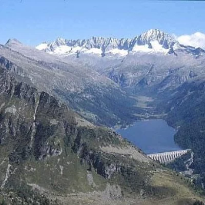
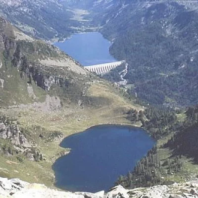
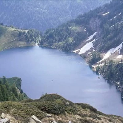
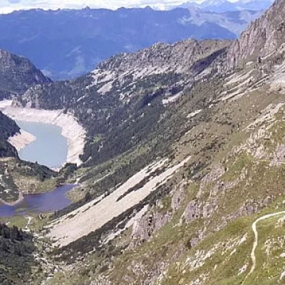
Malga Bissina Lake, from Isola di Cevo

Access
You can reach ISOLA DI CEVO from the Tonale and Mendola state road (state road No. 42):
* if you are coming from the valley (from Bergamo or Brescia) go up to Cedegolo and then turn right (the fork is immediately after the bottleneck in the centre of Cedegolo) onto provincial road No. 6 for Fresine. After about 7 km uphill and then, after the cemetery of the hamlet of Fresine, take the little flat road on the right and in just over a km you will reach the hamlet of Isola: there are certainly no parking problems!
* If you are coming from the upper Valcamonica (Aprica or Tonale / Ponte di Legno), descend to the village of Cedegolo and then take provincial road 6.
Introduction
This excursion takes place in four characteristic and clearly distinct environmental situations:
- the first section, as far as Lake Arno, the mule track climbs a steep wooded ridge for a difference in altitude of over 900 m where there is a transition from mixed coniferous forest, predominantly deciduous, to the final part almost completely covered with mountain shrubs.
- the second is through a "building site road" partly in tunnels-paravalanche that also passes by Lake Arno
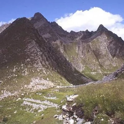
- the third is the diagonal ascent on the "coster" on the orographic right, up to the Campo pass, characterised by a few green alder bushes and some dwarf pine colonisation, only partially grassed over, followed by minute moraines. From this ascent, one enjoys the spectacle of admiring the entire basin of Lake Arno, Mount Re di Castello and Mount Frisozzo. From a geological point of view, the Arno basin is particularly interesting as it is located in the contact zone between effusive rocks (Adamello pluton), metamorphosed schistose rocks and limestone.
- the fourth is the descent to the malga Bissina lake, passing through the basin of the Campo lake, i.e. from mountain meadows, to pastures, to shrublands with conifers, especially larches, and dwarf pines.
Description
Starting from the small square in front of the church in Isola, go uphill, initially skirting part of the fence of the former hydroelectric power station (path [88]), then take the slope decisively, passing near two supports of a high-voltage power line; you will then reach the locality called "Il Plà", where there is a farmstead surrounded by a meadow carved out of the surrounding rocks. The path continues by crossing the site of the former forced conduits and the inclined plane of the power station with a small bridge; it then approaches the Rio Piz stream and passes near some supports of the former Isola-Arno cable car; the path continues with wide zigzags until it crosses the site of the former forced conduits again by means of a long bridge ("put lonc"). After a few hairpin bends, you reach the locality of Garzuné (approx. 1400m), where a plateau can be glimpsed that was once the site of a malga, now completely ruined. We continue along the mule track with wide hairpin bends, then move to our right and follow a long stretch of path carved into the rock of Monte Zucchello, until we reach the flat road, (formerly the site of a Decauville track), Vertice Q - Arno. (Path [20A]). Buildings relating to the former Isola power station are visible on our left (watchman's house, electric cabin, cable car and inclined plane etc.); we continue to the right. We follow a stretch of road characterised by the presence of several tunnels and avalanche barriers in an artificial tunnel, until a path branches off to our left and heads towards the top of the dam, which we reach in about 10 minutes. Once at the dam, we continue along the flat road as far as the Campellio power station; (Signpost [89]) it is a road almost half of which is in a tunnel or artificial avalanche parapet; until the 1970s it was equipped with a "decauville" track and was used to transport materials from the Arno cableway to the power station. Along the way, we come across partially ruined buildings: where, in the past (until the 1950s), pumps were stored that were used to partially empty the natural reservoir of Lake Arno in winter; and thus also use the water below the level of the Isola power station intake. Having reached the Campellio power station, one ascends, on the left, to the Pozza d'Arno. In view of Pozza d'Arno, keep to the left, (the orographic right-hand side of the valley), the path [89] after a few hairpin bends, climbs along a sloping "diagonal" which reaches the "Traversera" mule-track coming from "la Rasiga" [20] at an altitude of around 2100m, after which you continue along the mule-track itself as far as the Malga Bissina Lake (1788m). The path from Pozza d'Arno to the Traversera is little frequented, so it has many stretches now covered in vegetation (green alder and/or dwarf pine) and in places it is necessary to proceed, with some discomfort, parallel to the path. At the pass, continue downhill along the SAT path [242], which is clearly visible and very busy; as far as Lake Campo, the path is still the "historic" one used by the Camuni people (from Cevo, Saviore, Paspardo and Cimbergo) for their summer transhumance to the alpine pastures of Val di Fumo; beyond this point, the path follows the orographic left of the lake's outlet and heads towards the top of the dam on the "new" path, laid out and built in the 1950s during hydroelectric works to allow the herds of sheep to pass towards the Breguzzo alpine pasture without hindering or being hindered by the new layout of the valley. The "historic" path, which is still usable, descends to the right of the lake outlet and connects, in addition to the bottom of the Val di Fumo valley, the "Campo di Sotto" and "Re di Castello" huts, which are no longer in use.
