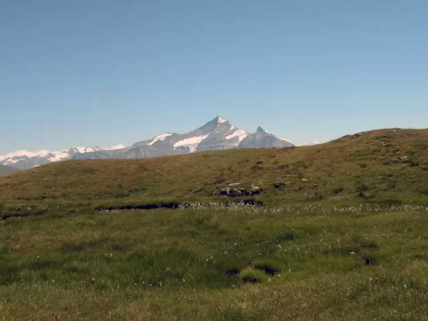
Lake of the Frogs, from Vétan dessus


Edited by:
Giancarlo Beretta
Updated at: 04/05/2025
Access
Leave the motorway and, after 450m, leave the motorway junction turning right onto the regional road for the Cogne valley. After 400m at the roundabout, take the second exit and enter the state road , to be followed for about 3km, passing through the village of Saint-Pierre, until you reach the village of Luboz. Turn right onto Via Corrado Gex (to be followed for 300m) and then turn right onto the regional road to be followed for about 7.7km until Saint-Nicolas and, just beyond the main centre, a crossroads: continue straight on the regional road following the signs for Vétan. When you reach Petit Sarriod, leave the regional road and turn left. Follow the communal road through the villages of Person, Grand-Sarriod, Gerbore until you reach, after 4.2km, Vétan and the large car park at the end of the road.
How to get there with GMaps
How to get there with Apple Maps
Introduction
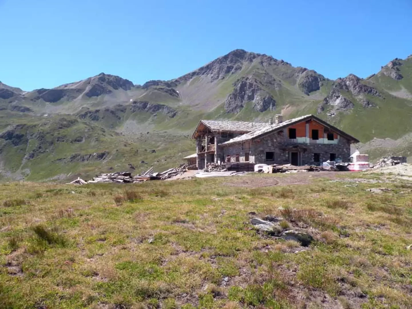
A pleasant hike to a small lake near a new refuge currently under construction, passing by the green pastures above Vetan and then crossing the high Verrogne valley dominated by Mont Fallére and Mont Rouge de Vertosan. This hike is suitable for everyone, as it is free of danger and difficulty; one just has to be a little careful when following the path just above Vetan, which, in the case of high grass, can obscure the route in places.
Description
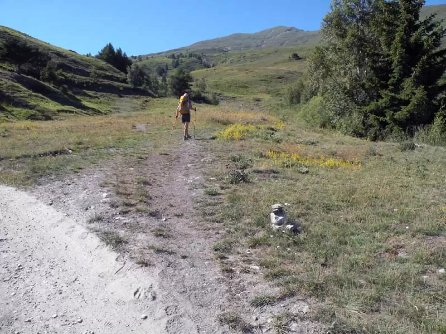
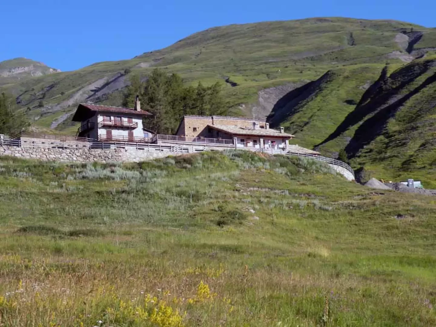
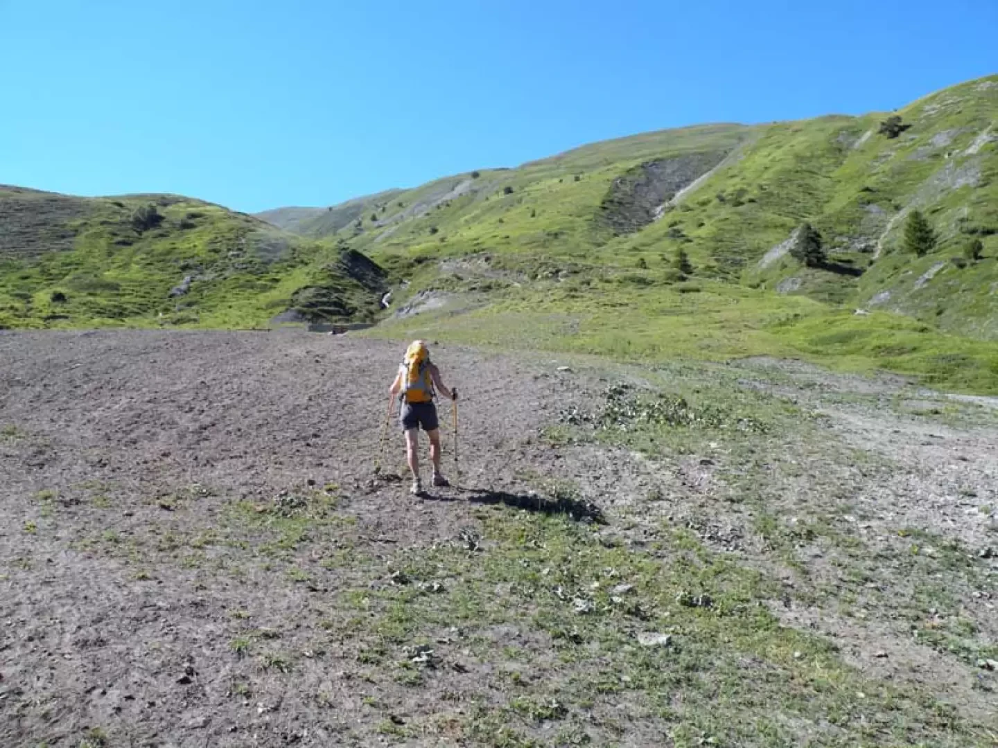
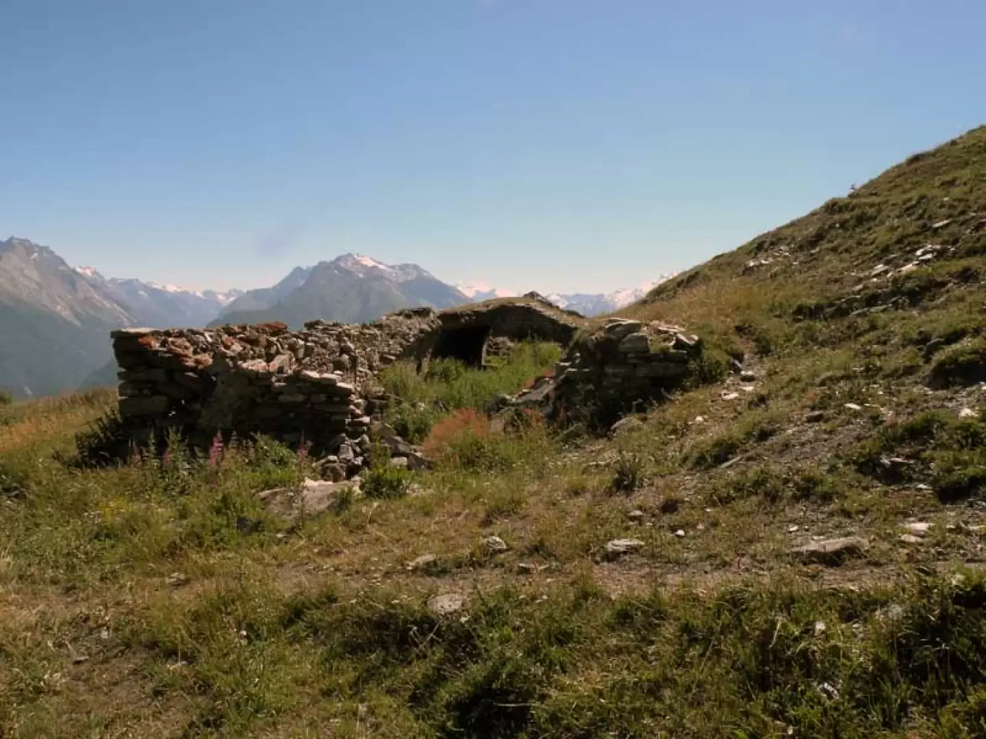
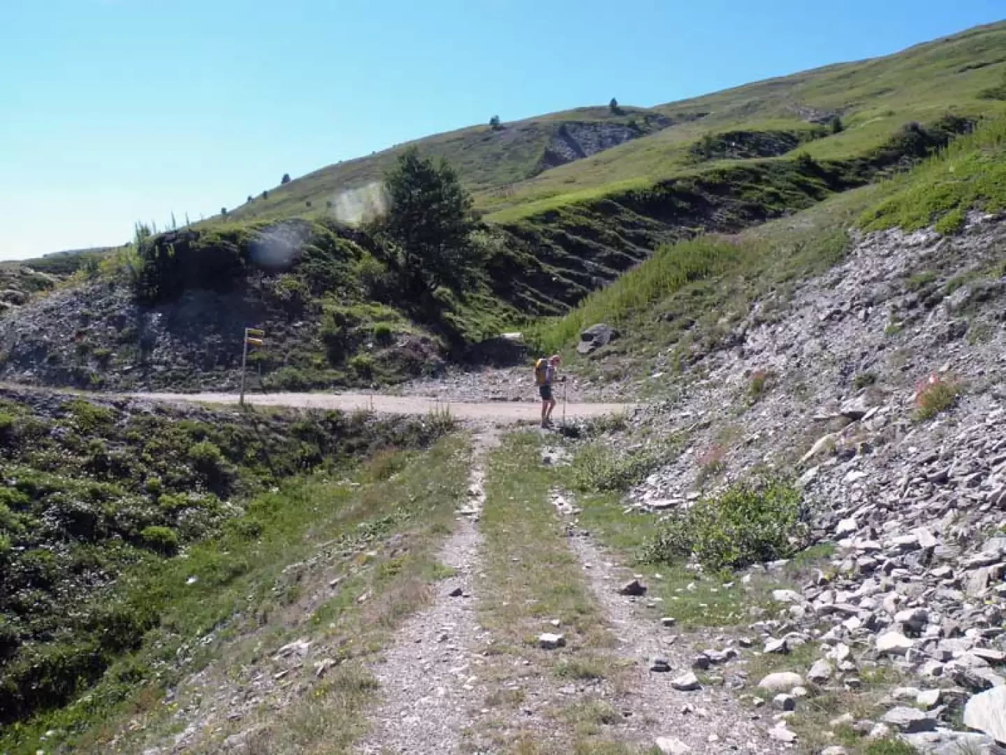
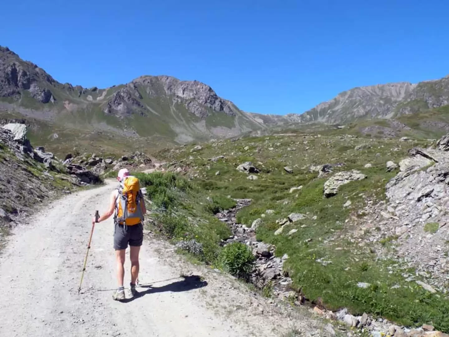
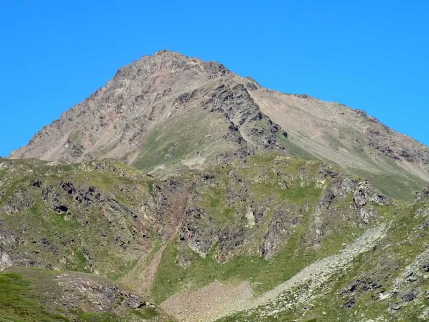
From the car park, head towards the bottom of the forecourt where you climb up a road that arrives just above the route markers and continue until you reach the upper plateau, where the upper Vetan valley opens out with its pastures. You reach a farm track that you walk along for a short distance until you come to a small stone cairn at a track that branches off to the right (1846 m); cross the stream immediately and climb to the left, reaching higher up the farm track where, just before reaching it, you turn right and follow a clearly visible track that cuts across the grassy slope. At a fork with the path coming from below (1900 m), turn left to reach, just above, the Thoules alpine pasture (1932 m), which you leave to the left and head towards the evident stream that descends behind it; Climb up the path that starts to the right of the stream and passes through green pastures, reaching higher up the ruins of the old alpine pastureland of Grandes Arpilles (2106 m) from where the track of a wide mule track begins and, with a few hairpin bends, reaches a farmstead at a crossroads marked by a small post (2147 m). Now turn right along the farmstead that skirts the south-eastern slopes of the Punta Leysser and arrives in the upper part of the Verrogne valley, where it is best to pass the fork in the path and turn right at an altitude of about 2370 m when, in view of a building, you cut across the grass to reach the hut that is currently being completed. With the hut (2392 m) in front of us, we walk to its right down towards a stream that we cross, rejoining the original path that, taken for a short distance, takes us to the banks of the small lake.
.Photo gallery

Comments (0)
Sign in to leave a comment