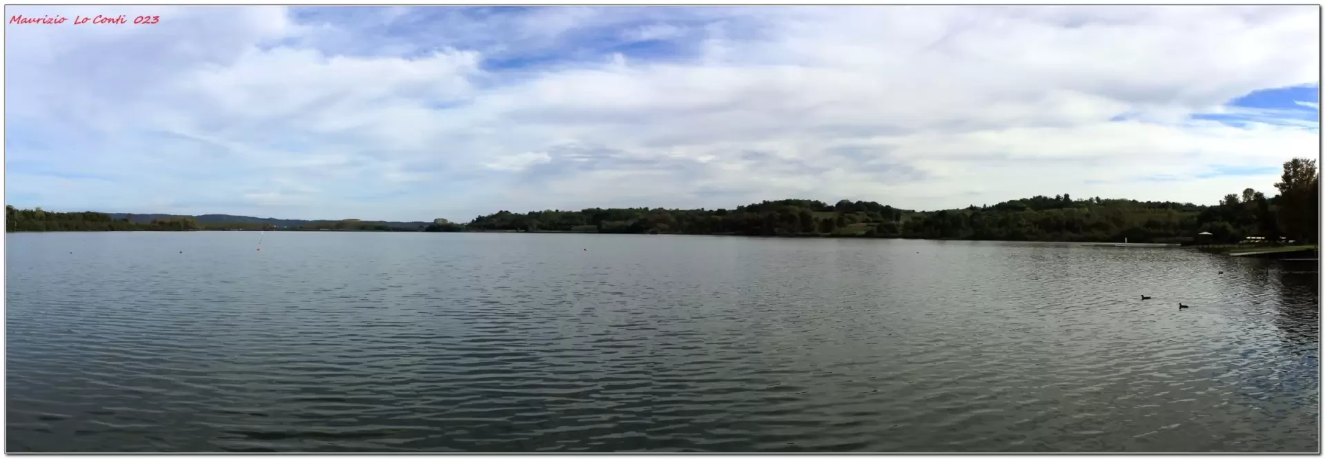
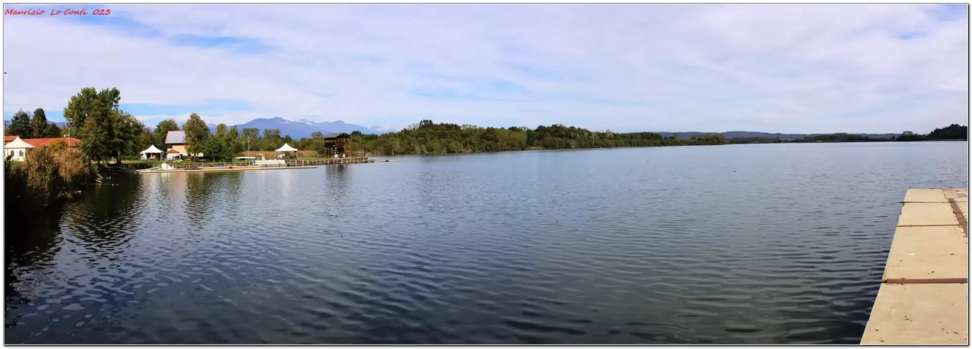
Lake Candia, ring from Lido di Candia


Edited by:
Maurizio Loconti
Updated at: 09/06/2025
Access
From the take the exit for Santhia. Then, you must turn left onto the (Turin), exiting at Borgo D'Ale. Afterwards, the direction is Cigliano and Caluso. Just before the latter, turn right towards the basin and Candia. Finally, turning left into Via Lago, you will find the car parks (about 190 km from Genoa). .
Introduction
The lake is close to that of Viverone ( http://cralgalliera.altervista.org/LagoViverone022.pdf - http://cralgalliera.altervista.org/IMG_0368TramontoLagoViverone.jpg ). In the basin (1.52 square kilometres) and the neighbouring marshland, various naturalistic features stand out. It is an important wetland area in northern Italy (protected area since 1995): the vegetation has more than 400 floral varieties and the avifauna regularly over-winter, with 200 species recorded. .
Description
You leave your car at the Canottieri society and at the start, take the Cai symbols towards Candia C.se. The Castelfiorito is evident. Further on, a 5' digression leads from the water (NW bank). The return is made on the same road, although it should be possible to come out on the main one by a different route. Further on, there is another point where you skim the shore. You skirt the lake until you cross the road going up the opposite side to the right. The area is characterised by vineyards and fruit trees with a view as far as the snow of the Alps. Another interesting view comes into view and, suddenly, one disregards the road to turn left. After crossing a carriage road, a small chapel reverses course. In 10', there is a crossroads with paths: you turn right downhill, leaving the Cai signs. You pass under the (low!) railway vault, continuing to lose altitude until you reach the carriageway. Nearby, there is a municipal picnic area (with water and toilets) with a privileged view of the lake. In short, you will find your car again. Dif. T, 9.5 km, 3h, 100 m asl. Best time: autumn (too many bugs in summer).
If you want, here's the pdf photo file, with a bit more news:
http://cralgalliera.altervista.org/LagoCandia023.pdf
Turnarounds in the area: http://www.cralgalliera.altervista.org/GitePiemonteCentroNordLombardiaOvest.htm
http://www.cralgalliera.altervista.org/anno2023.htm
http://www.cralgalliera.altervista.org/altre2023.htm
NB: in the case of an excursion, always check with FIE, Cai, any park authority or other institutions, pro loco, etc, that there have been no changes that have increased the difficulties! No liability is accepted. The present text is purely indicative and not exhaustive.
Info Hiking Section Cral Galliera: http://www.cralgalliera.altervista.org/esc.htm
trips 2023 at the link: http://www.cralgalliera.altervista.org/gite023.pdf
Photo gallery
Comments (0)
Sign in to leave a comment