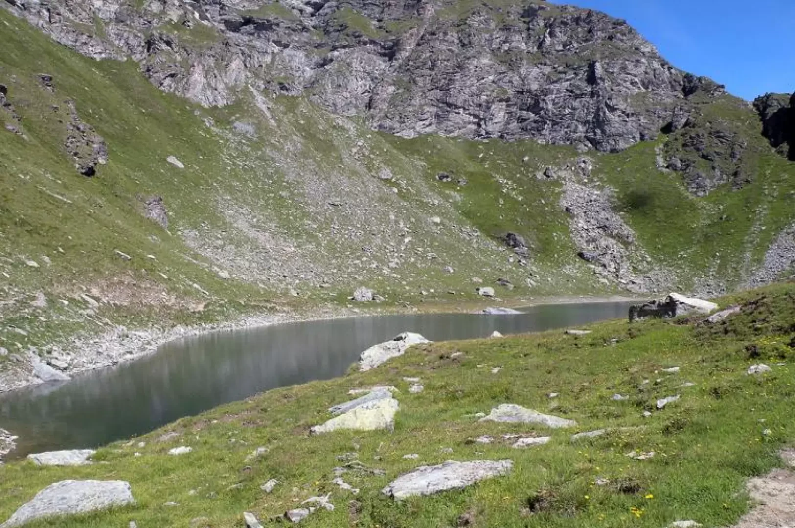
Bringuez Lake, from the Fenillettaz car park

Access
All’uscita dello svincolo autostradale di Verrès, entrare nella rotatoria e prendere la seconda uscita, in direzione del centro storico. Proseguire per circa 300 metri, quindi svoltare a sinistra per imboccare la Strada Regionale in direzione Val d’Ayas. Seguire la regionale per 16,5 chilometri, superando i caratteristici borghi di Challand-Saint-Victor e Challand-Saint-Anselme, fino a raggiungere Brusson. Attraversare il centro abitato di Brusson e, poco prima del bivio per il Col de Joux, svoltare a destra per prendere la strada comunale per Estoul. Continuare a seguire la strada comunale per circa 7 chilometri, oltrepassando il piccolo villaggio alpino di Estoul, fino a raggiungere un ampio parcheggio 🅿️, dove è possibile lasciare l’auto.
🚫 Il punto di partenza dell’itinerario non è raggiungibile con i mezzi pubblici, quindi è necessario utilizzare un mezzo privato.
Distanza e tempo di percorrenza
🕒 Tempo di percorrenza: 38 minuti
📏 Distanza: 22,5 km
Navigazione GPS
📍 Come arrivare con Google Maps
📍 Come arrivare con Apple Maps
ℹ️ Nota importante
Le indicazioni fornite sono state verificate alla data del rilievo dell’itinerario. Prima della partenza, è consigliabile verificare eventuali variazioni del percorso. Per ottenere indicazioni aggiornate e dettagliate, si consiglia l’uso di Google Maps o Apple Maps.
Introduction
This hike is suitable for everyone and has as its destination a beautiful lake set in a solitary basin bordered by the spurs of Punta Goà to the left and Mont Quiappa at the far right. The panorama, closed towards the north-east, provides an excellent view of the peaks bordering the Gressoney Valley and those of Mont Avic Park.
Description
From the car park, go through the forest at its edge and immediately cross a farm track that you follow for a few hundred metres until you come to a wide ski slope with a path that you climb up to your right. You pass close by the Chanlochère alpine pasture (2012m) and reach the farm track again, which you now follow to the left, passing under the chair lift and next to the Chavanne alpine pasture (2107m). Shortly after this alpine pasture, near a bend, you come to a fork in the road and take the track that descends to the left. At the next and nearby fork, turn left again and descend a few hairpin bends for about a hundred metres to the Lavassey alpine pasture (1981m) at the bottom of a beautiful valley of green pastures. Continue uphill along the farm track, leaving the path for Palasinaz to the right at a fork in the road, until it ends at Quiappa (2246m), the last alpine pasture of the itinerary; now that the farm track has ended, continue along a path to the left, with a steeper slope but well marked and indicated by yellow marks and stone cairns. After a stretch on a false level that contours the slopes of Mont Quiappa on the left, we find the junction, on the left, of another path coming from the lower part of the valley: from here we can already see the basin, dominated on the left by Punta Goà, where the lake is situated. After crossing a stream, you come to a grassy rampart. The path ascends it with a few hairpin bends and soon reaches the lake.
.