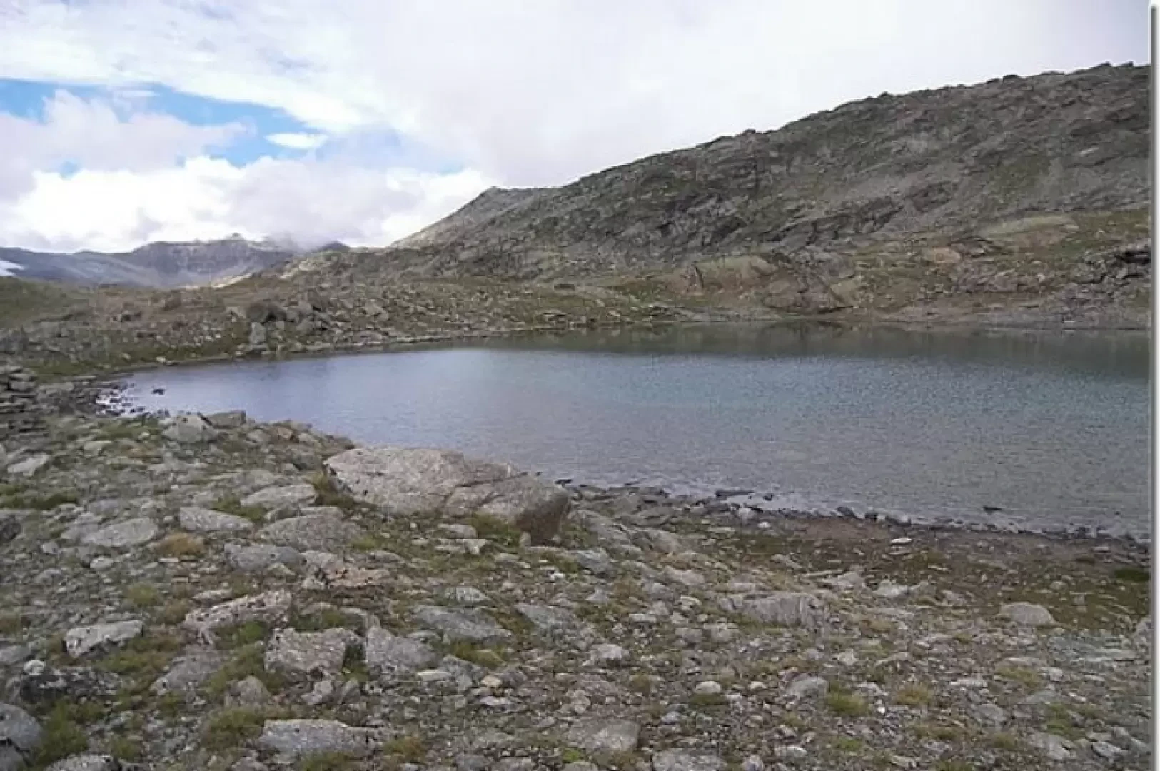
Lake Gias di Beu, from the Col Nivolet road

Introduction
The Gias di Beu lake is located not far from the Royal Hunting Route path, which leads from the Nivolet to the Colle della Terra. Being a little off the normal tracks, it presents a few more difficulties, typically of orientation, which are well compensated for by the more 'natural' environment and the great ease of encountering animals, particularly chamois and ibex.
Description
From the small lake on the Nivolet road (2461m), take the obvious Strada Reale di Caccia (Royal Hunting Road), a beautiful wide, paved path, built by King Victor Emmanuel II at the time of his hunting parties in these mountains. The path winds its way up and down slightly, halfway up the mountainside. Soon you will come across panoramic viewpoints, from which you can see the Agnel, Serrù and Ceresole lakes. In about a quarter of an hour you reach the turnoff for the Bastalon hunting lodge (2423m). This is an old support point for the royal hunting guards, now owned by the Gran Paradiso National Park and used by the park rangers. After about an hour, you reach the remains of the now abandoned Alpe Comba (2459m). The alp used to receive abundant water from the little lakes of the same name, which are located on the uphill wall, to the left of the path, and can be reached as a variant of the return route. The Videsott path starts from here and leads into the valley at Chiapili di Sopra. Shortly afterwards, one enters a wide gravel shelf, generated by the Percia stream, overlooked by the Fourà peak. From here, the trail continues to the Colle della Terra and the subsequent descent to Lake Lillet. To reach the Gias di Beu lake, one must enter the plateau and ascend alongside the stream, keeping it to one's right during the ascent. In this part, the path tracks are almost absent, confused by those made by animals. An occasional red sign or cairn can be found. As soon as you pass the level of the plateau, move to the left and enter a series of small valleys, rich in fauna, and climb up several overhangs until you pass a rocky ridge to reach the lake (2799m). The route takes a couple of hours, and can vary greatly depending on the difficulty of orientation and possible stops: I stopped for half an hour to take photos of a family of chamois. Once at the top, you can climb up to the punta Fourà pass and from there descend to the Comba lakes, from where you can then descend either to the Bastalon hut or to the starting point. In this second part, the orientation is even more complex, the tracks more sparse and, often, in the absence of a reference point.
References: Quattro passi in Paradiso Guido Novaria, Giovanni De Matteis Priuli-Verlucca, 1997-2003 Unfortunately, this interesting guidebook was reprinted in 2003, without any updates, so several routes lack the necessary updates. In this case, reference is made to the Punta Fourà glacier, which has now practically disappeared. External links
- www.pngp.it
Author
- Consults all hiking reports by Renato Brazioli
- Consults the page of [[Renato Brazioli]]
Bibliography
- G. Berutto, Il Parco Nazionale del Gran Paradiso Vol.1, IGC, Turin, 2000
- Umberto Bado and Marco Blatto, Valle dell'Orco - Gran Paradiso, L'Escursionista & Monti Editori, Rimini, 2008
- Quattro passi in Paradiso Guido Novaria, Giovanni De Matteis Priuli-Verlucca, 1997-2003
Cartography
- Valle dell'Orco, Carta 1:25000, sheet 14, L'Escursionista & Monti Editori, Rimini, 2007
- IGC 1:25000 - Sheet 101
- IGC 1:50000 - The Gran Paradiso National Park - Sheet 3
- IGM sheet 41 - Colle del Nivolet, Ceresole Reale