Laggin Biwak, from Simplon Dorf


Edited by:
Giancarlo Beretta
Updated at: 15/05/2026
Access
Take the [A26] Genova-Gravellona Toce in the direction of Gravellona and, after reaching Gravellona, continue on the highway in the direction of the state border. After passing Domodossola, continue on to the border at Trasquera and, after a few kilometres, you will reach the village of Simplon Dorf; enter through the junction and park your car near the Hotel Post, which is located on the main road.
.Introduction
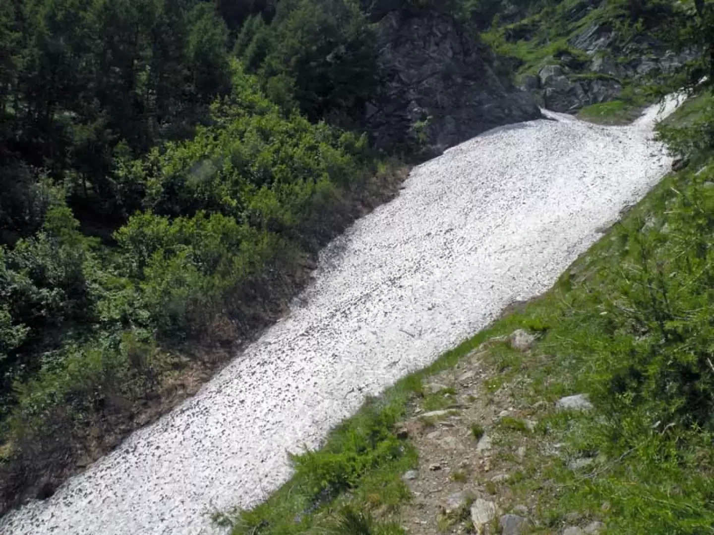
The Laggin Biwak is situated on a panoramic promontory on the orographic left of the splendid Laggintal; its privileged position in the upper part of the valley allows a close-up view of the Weissmeiss, with its glaciers branching off between the moraines and peaks bordering the nearby Ossola. The route, which is well signposted, winds along the steep slopes that descend imperviously from the Wenghorn and the ridge that joins it to the Rothorn towards the valley floor, and the only difficulty to be faced is at the beginning of the season, where the crossing of the remains of a large avalanche, present even in advanced season, in a gully between Obri Weng and Antonius requires a little attention.
Description
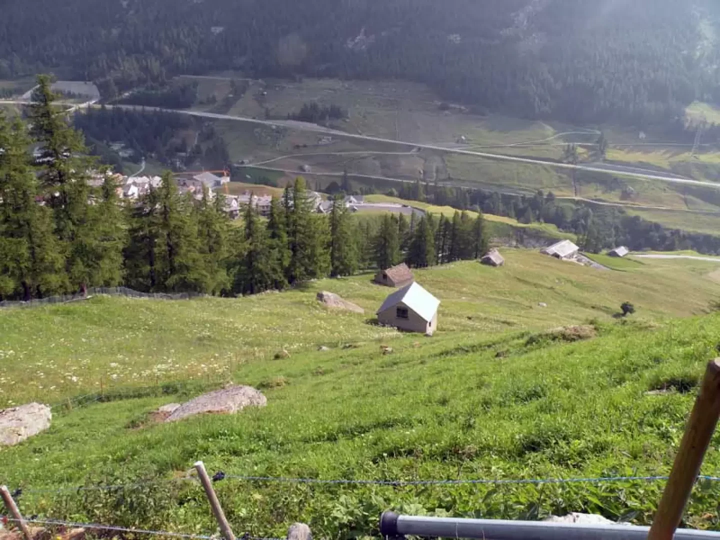
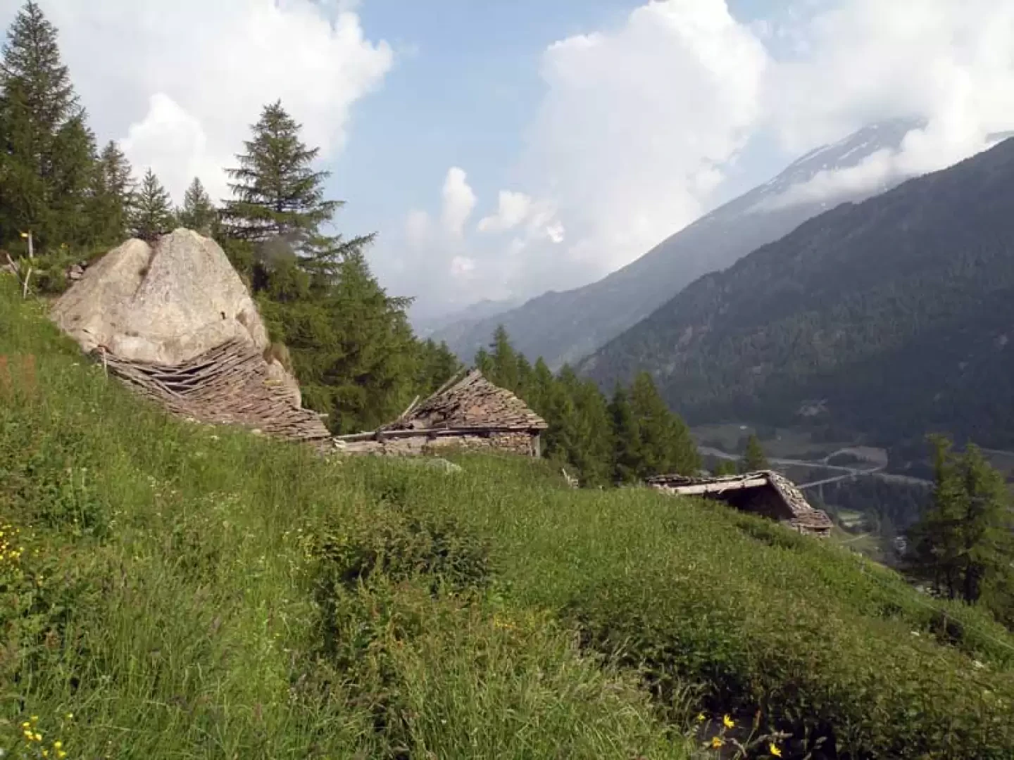
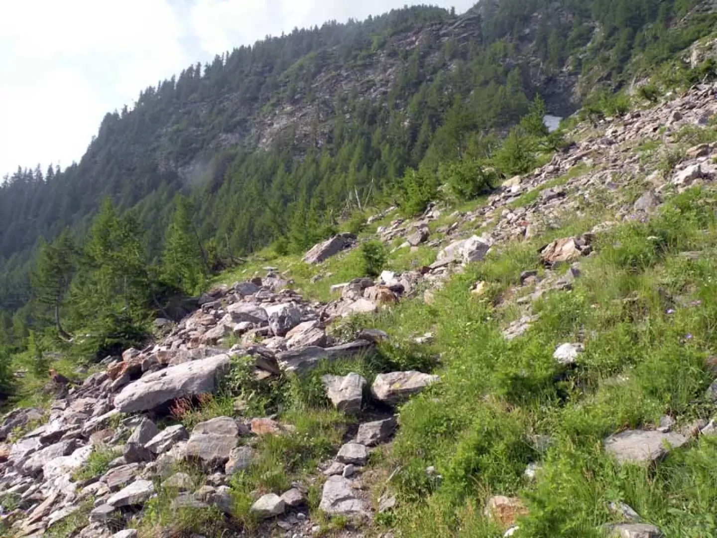
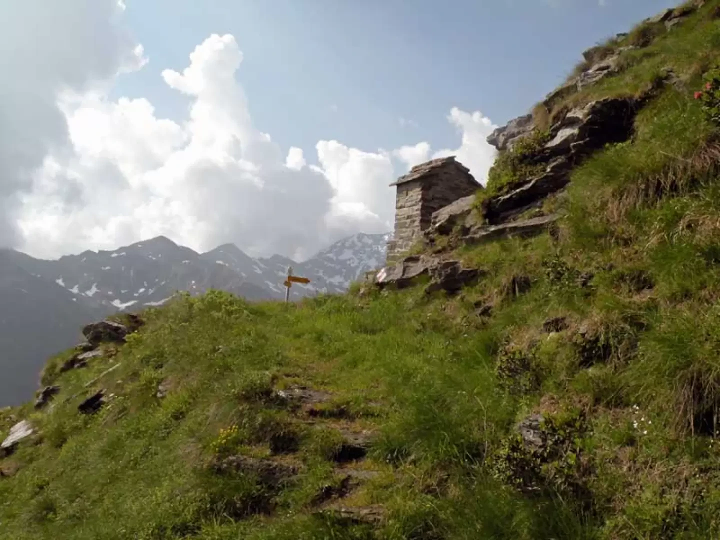
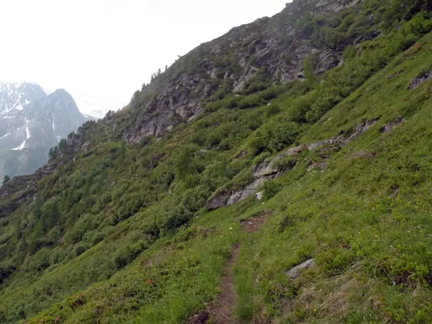
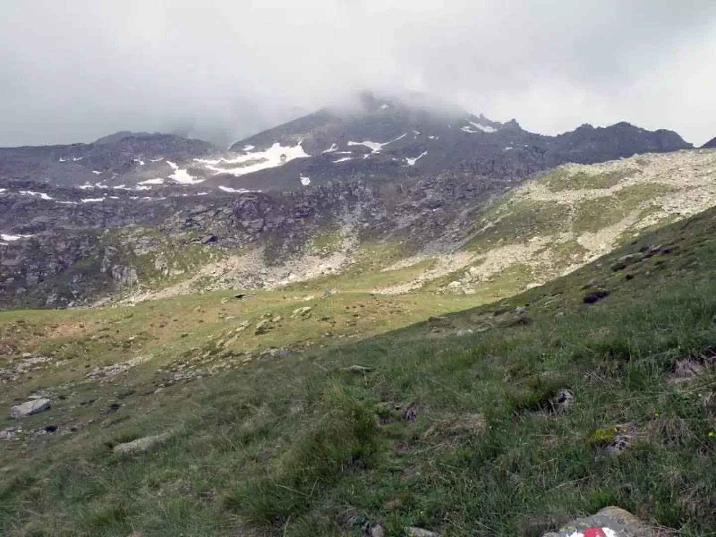
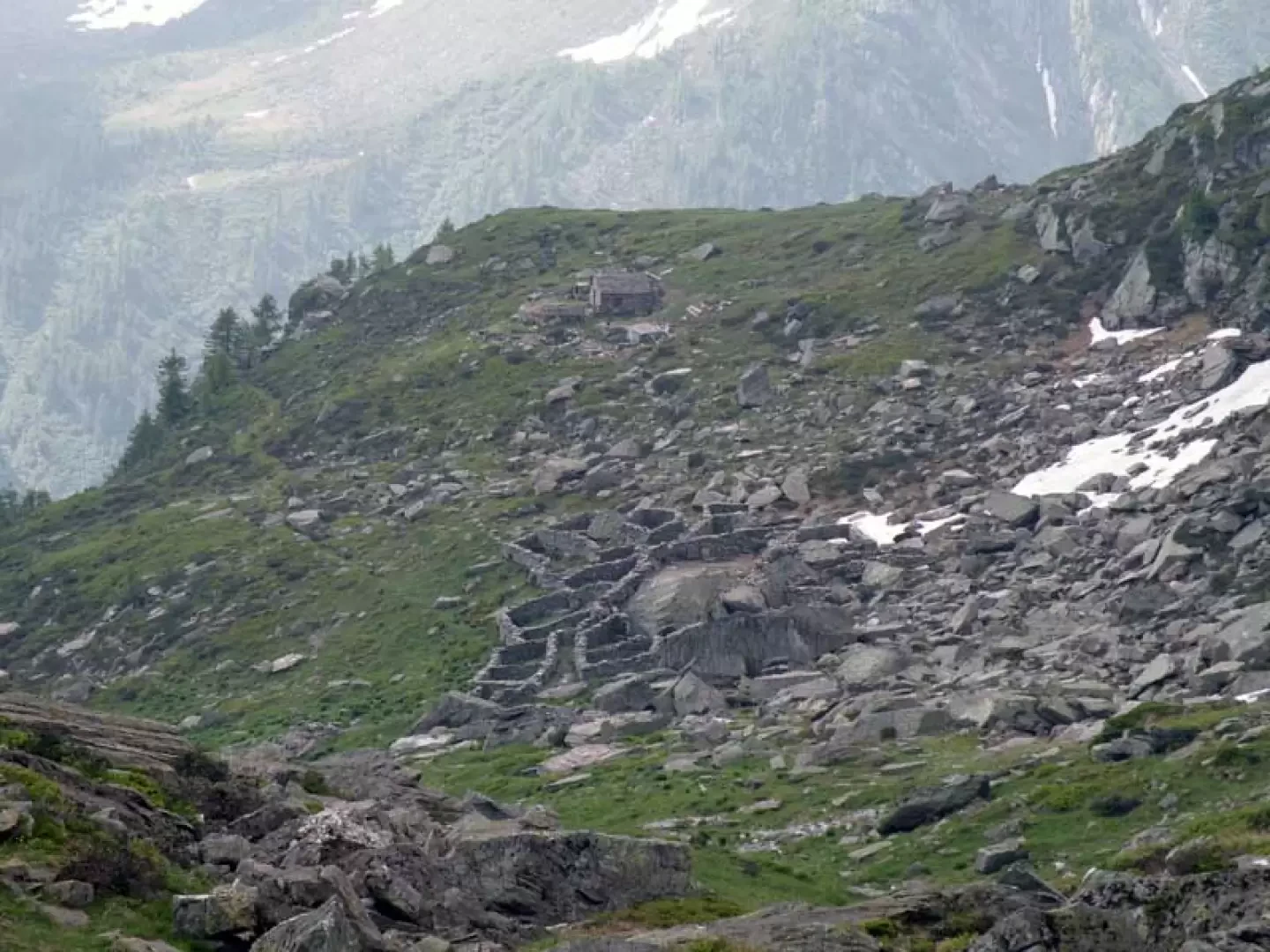
From the car park you reach the Hotel Post and to the left of its entrance you will find a small archway where, on the wall, you will find the starting marker for the route; walk up between the houses of the village and on the road you will find a signpost with the direction to follow. You walk a few metres and pass under an embankment via a stone bridge and cross a stream. Now begin to climb up beautiful pastures on the edge of the coniferous forest and, after a short stretch on the hillside, you will reach the Obri Weng huts (1631m), which you pass on the right to reach a marker post above them. Continue into the forest passing a wooden gate and cross a landslide area without difficulty, from where you almost immediately come to a gully in which, even in late season, there are the remains of a large avalanche that must be crossed: depending on the time of year, its width may vary, but attention must be focused on its length as it drops steeply for tens of metres into an impervious gully. Having passed this delicate section, the path winds its way through lush conifer and rhododendron vegetation, heading towards a low rocky bastion, from which it continues along the side of the mountain to arrive at the scenic locality of Antonius (2066 m), where there is a small chapel. Now the route decisively changes direction and continues for a long stretch with an up and down path halfway up the hillside, heading towards a second rocky bastionata, which is climbed slightly and contoured to arrive in a grassy hollow below the slopes of the Wenghorn: from this point, you can already see in the distance the small outline of the bivouac located above a rocky promontory to your left. Cross the grassy hollow to the left and, slightly uphill, climb up some grassy rises, cross another small landslide area and arrive, passing just above the ruined Faricha huts, in another small hollow situated below the final stretch to the bivouac. The last few tens of metres are painstakingly climbed, overcoming a few rocky drops, and the bivouac is in sight, which is soon reached.
.Galleria fotografica