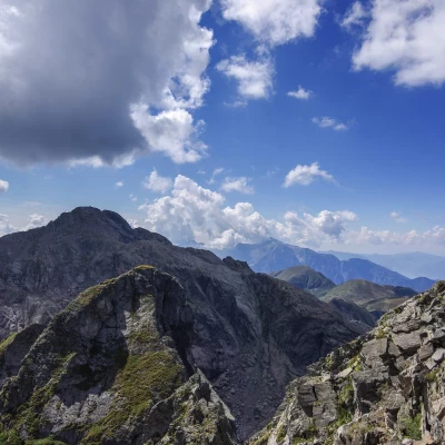
Pizzo di Trona, north ridge
Access
From Milan to Morbegno along state roads 36 and 38; at the roundabout at the entrance to the town, turn right in the direction of Valgerola and drive up the entire valley to the large car parks at Pescegallo.
Introduction
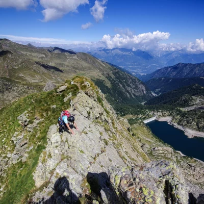
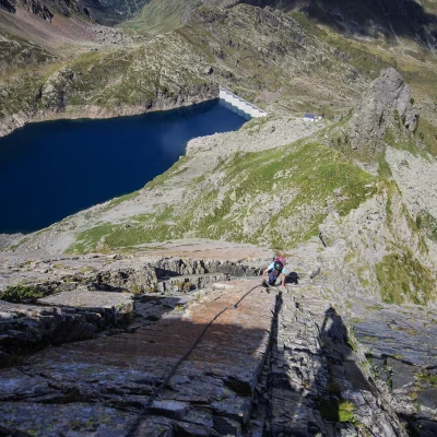
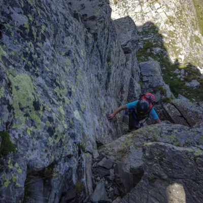
The Pizzo di Trona is the third peak - in terms of altitude - of this section of the Orobie, after Monte Legnone and the Pizzo dei Tre Signori; it boasts a beautiful isolated position that benefits it from a panoramic point of view, aided in this by the adjacent valley floors occupied by vast lakes (albeit partly artificial). The ascent of the north ridge has had a troubled history over the past two decades. In the 1990s, the G.A. Andrea Savonitto completely equipped it with progression chains, but the tourist intent was misinterpreted and all the work was carefully destroyed; after a restoration, a new vandalisation. At present, the situation is as follows: the route has a few dozen metres of 'mended' chain with quick links and here and there a few obsolete bolts; all the bolts are badly rusted. So the climb is to be considered for experienced hikers (T5) and it is better not to rely on the equipment on site. Contrary to what is written on the signs along the approach THIS IS NOT A CLIMBING CLIMBING.
.Description
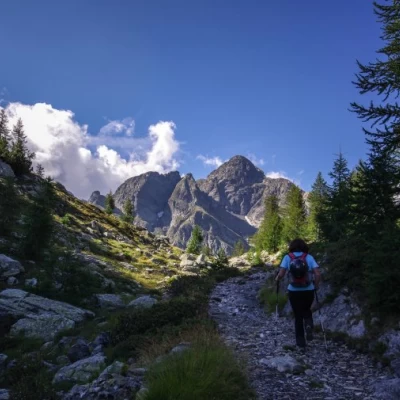
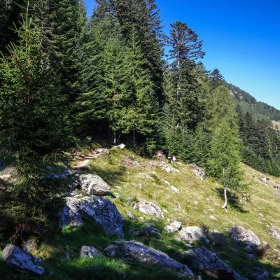
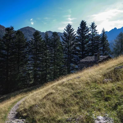
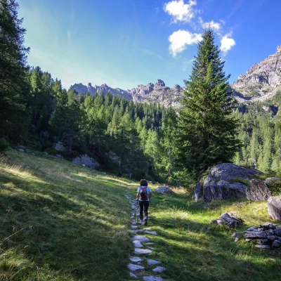
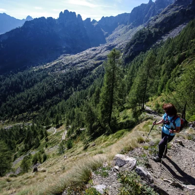
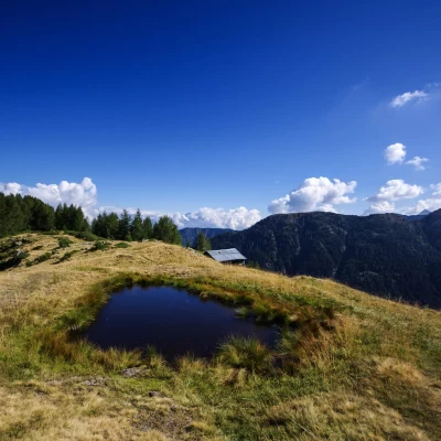
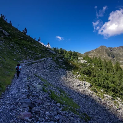
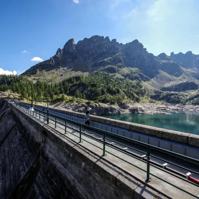
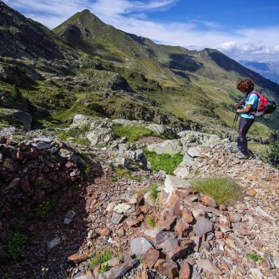
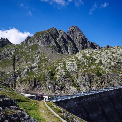
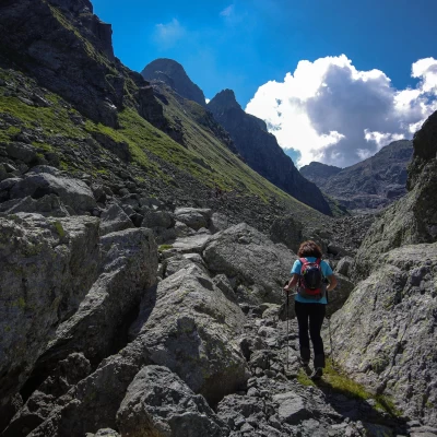
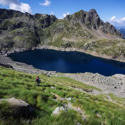
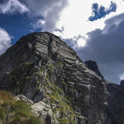
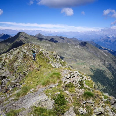
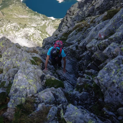
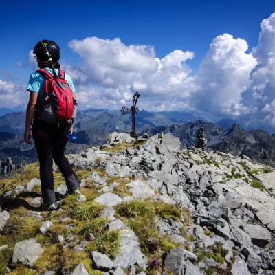
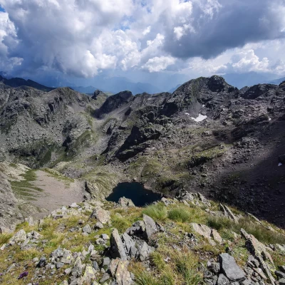
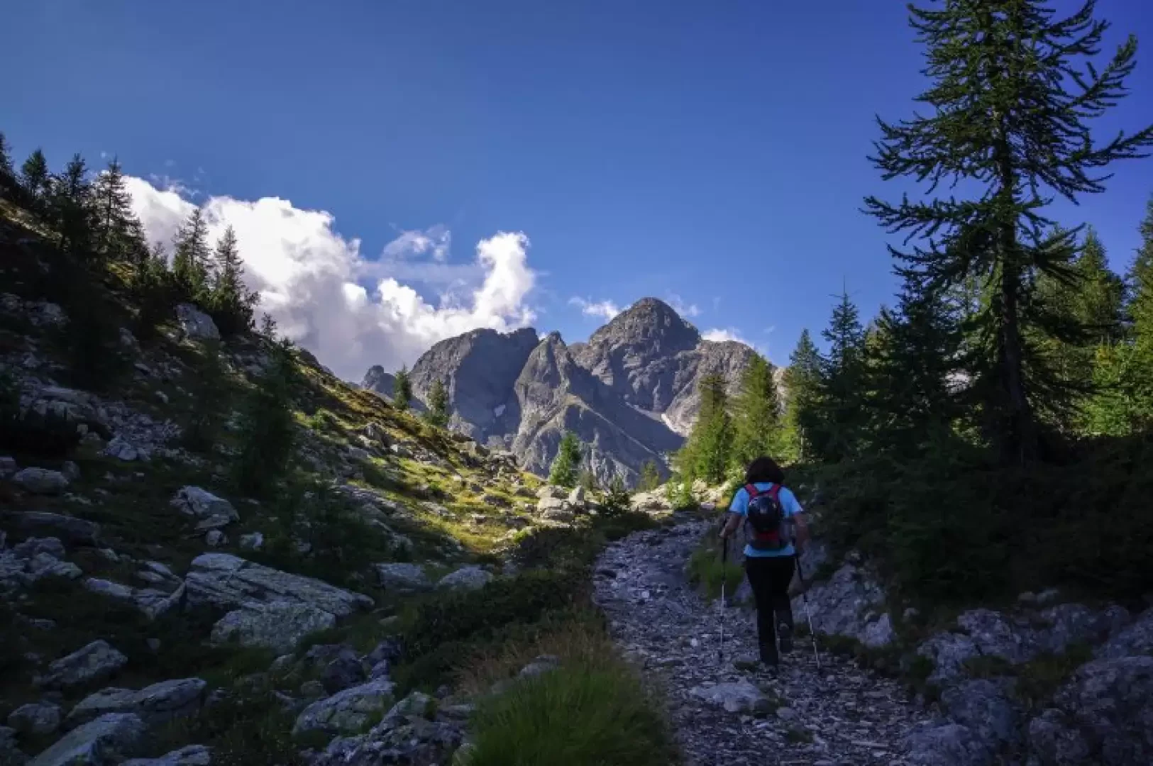
From the cable car forecourt at Pescegallo 1454m, take the little path that enters the woods just above a cheese factory, in the direction of "Lago di Trona". The track continues steeply in hairpin bends, making it possible to pass the rib that leads into Val Tronella; after passing the Dossetto hut (1580m), cross the valley floor crossed by a few spring rivulets and climb up the steep slope dominated by the Cime di Tronella, coming out on the picturesque Piich shelf (1845m) (small hut and watering hole). The wide track continues on a falsopiano up to a hump dominating the Valle di Trona: a steep and stony mule-track descends in a short time to the Trona dam 1815m; crossing the wall you immediately come to a fork: you must take the path to the left indicated as "direttissima" for Lago d'Inferno. The path crosses ancient ferrous rock dumps and, after passing a couple of mine entrances and the remains of a smelting furnace, along a rocky rib reaches the service buildings at the Inferno dam 2085m. Initially barely visible, the path heads between large boulders behind the houses and begins a long traverse at altitude above the lake; after a few dozen metres, leave the straight track and begin to climb (some faded markings on the stones) the very steep grassy slope to your left. In a short time, you reach the 2220m ridge between the Dentini di Trona and the Pizzo itself; a track leads to a rocky and sharp ridge section - very exposed - assisted by a battered chain. A few more approach steps on broken rocks, and one reaches the long key-passage (psychologically speaking) of the ascent: a long series of smooth slabs, moreover much more approachable than it might appear at first sight (here too a long chain of progression, with very dubious anchorages). An easy, partially grassy section follows, as far as the summit rocks: keeping to the left (old, cancelled signs), one ascends successive gullies with several loose stones; on the right, instead, the terrain is certainly more solid and, despite facing a couple of very short, non-trivial chimneys (III-), allows one to reach the summit path with more security. On the summit of Pizzo di Trona 2510m there is an iron cross (with summit book) and a high cairn of stones facing the Rotondo Lake below.
Return to the outward route.
Street:
North Ridge
Signpost:
Red/White/Red
Date of survey:
01/09/2013
Trail Type:
A/R
Difficulty:
T5
Mountaineering Grade:
III-
Riding:
inaffordable
Equipment:
helmet
Recommended Period:
June, July, August, September
Overall Time:
5h30'
Rise Time:
3h30'
Descent Time:
2h00'
Exposure:
North-West
Starting Height:
1454 m
Ending Height:
2510 m
Descent:
1056 m
Objective Danger:
moving stones
Exposed Tracts:
all ridge
Access:


