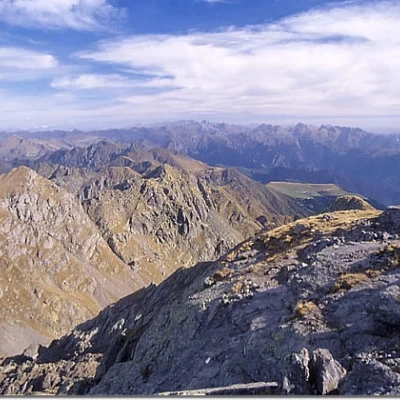
Pizzo dei Tre Signori

Access
In Valtellina as far as Morbegno; here turn into Val Gerola and continue until the end of the valley, at Pescegallo, a ski resort. You park right at the end of the road in the square in front of the ski lift departure point.
.Introduction
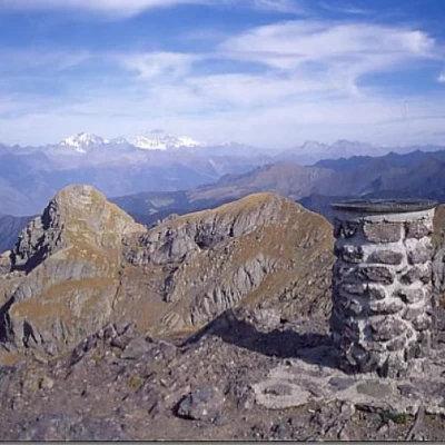
A classic in the Orobic Alps and therefore a very popular excursion. From Val Gerola (SO), as well as from Pescegallo, a more varied and interesting route, it is possible to start from Laveggiolo, a somewhat shorter route also because the loss of altitude difference at Lake Trona is avoided. For the more experienced hikers, there are several possible return routes: from Lakes Rotondo and Zancone (via the Bocchetta dell'Inferno, but with a further 200 m uphill climb), from Lake Rotondo and the Benigni Refuge (after having climbed the Valpianella peak), or simply descend from the peak on the NE side and return to the Lago dell'Inferno dam via the Bocchetta dell'Inferno. Another beautiful alternative excursion is to Pizzo di Trona via the easy ferrata N. From the summit, the panorama is spectacular over all the Orobie, the Masino-Disgrazia and the Bernina. Summit book.
Description
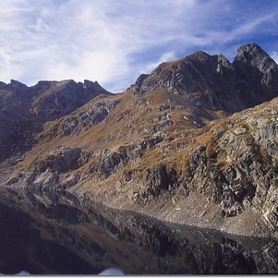
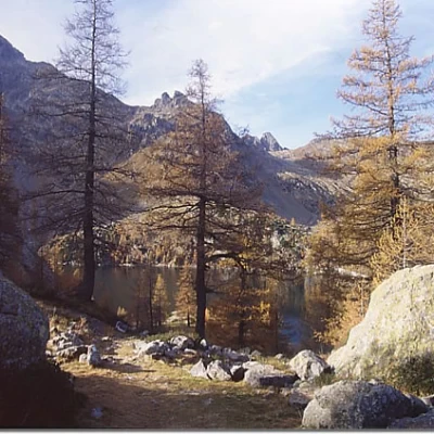
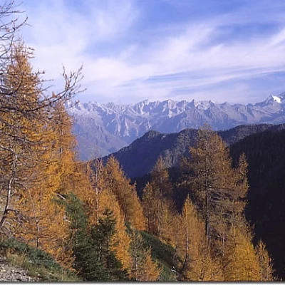
On foot, take the level path to the right (marker ) that leads into the forest. With a steep ascent you reach a first plateau (Val Tronella) continuing on the opposite side of the valley still on a steep ascent through the sparse wood. Having reached an altitude of about 1800 metres, with a long horizontal traverse under some huts and then in a beautiful larch wood, you enter the valley that rises directly from Gerola Alta. Leaving the branch-off to the left for Lakes Zancone and Rotondo, descend, losing about 100 m in altitude, to the Trona dam, which you cross. On the opposite side, take the path straight ahead (signposts: direttissima per il Lago dell'Inferno and the Falc hut), leaving the diversions to the left for the Pizzo di Trona ferrata, and skirting the rock face, follow the route of an old power line. You thus come out at the Lago dell'Inferno dam below the white house of the caretakers. Cross the dam and climb above the lake at the Falc hut. A traverse to the left takes you to Bocchetta di Piazzocco. Now go left, keeping at altitude and joining the path coming from the Santa Rita refuge. Without any difficulty, follow the red and white marks along the wide northern crest of the mountain to the summit (a little attention only at the end on some easy sloping slabs, slippery in wet weather). Descent by the same route or by one of several loop options. Cartography
- Kompass map no. 105 scale 1:50,000
