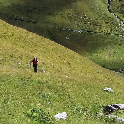
Lac de la Plate, from Elevaz
Introduction
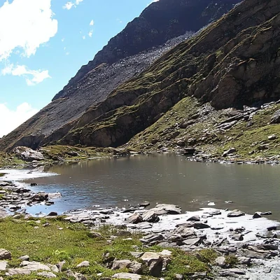
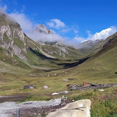
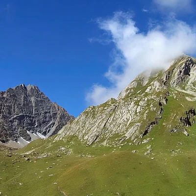
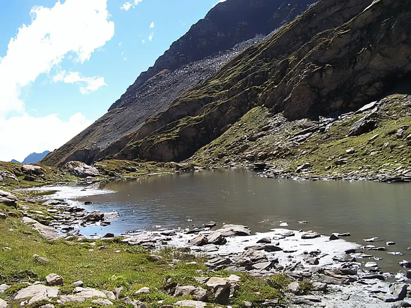
The lake, which is not very large, is located in an isolated amphitheatre of mountains ranging, from right to left, from Mont Nix to Mont Favre and the highest Mont Berrio Blanc. The hike takes place in quiet places, not much frequented by walkers, and develops between the La Thuile valley and the Col d'Arp, where the Courmayeur ski lifts arrive, passing through the solitary Youlaz valley with its characteristic 'U' shape, testifying to the presence of glaciers in ancient times.
Description
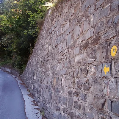
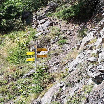
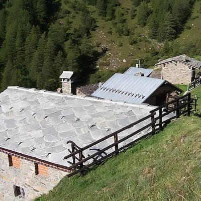
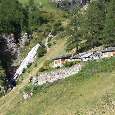
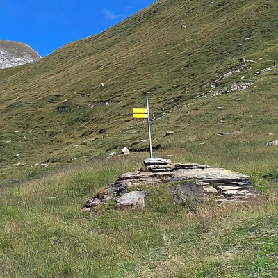
If you start from the small road uphill, walk a few hundred metres and, after a bridge, you will find the signs on the wall of a house at the beginning of a small road (Ruelle du Clou) on the right. If, on the other hand, you start out from the small car park, enter the village and turn right to reach the little church, turn right again and at the second alleyway on the left, you will find the above-mentioned markers. Climb up into the wood, traversing halfway up the slope to the left and then to the right; after several hairpin bends where the gradient becomes steeper, we pass the ruins of a house and a little further on we cross a small bridge over a raging torrent, reaching a road between the two farms. Immediately opposite is the continuation of the path, which is well signposted by the markers and crosses the road again just above the Arp desot pasture. Continuing along the farm track, you now come to a fork in the road after a few hairpin bends. Take the left-hand fork and, having passed the houses of Peson below, leave the forest. Continue under a rocky ridge and, having passed a hut near a waterfall, after a few hairpin bends you enter the wide Youlaz valley near the Mayen de la Youlaz mountain pasture, which is currently being renovated. At the bottom of the valley towers the icy summit of Mont Blanc, which, on a clear day, is beautifully set between the green pastures and the blue sky. After passing some ruins to the right of the track, we come to a post indicating that we should continue along the bottom of the valley in a northerly direction. With a more moderate gradient, we cross the pastures at the bottom of the valley and come to a second signpost that, causing us to leave the track for the Col d'Arp, makes us turn sharply to the left, fording the small stream and heading into the valley that has Mount Berrio Blanc at its head. The track, which now increases in gradient, becomes less and less evident, skirts the southern slopes of Monte Nix and, passing halfway up the bottom of the little valley, after passing a first small plateau reaches the lake basin. If you do not find the faint trace, just follow the bottom of the little valley, without any obligatory path, walking, among the erratic boulders scattered in the ups and downs, in the vicinity of the stream that is none other than the lake's estuary. The return is by the same route as the outward journey.
Photo gallery Lac de la Plate (2422 m) - © 2007 Giancarlo Beretta Lac de la Plate (2422 m) - © 2007 Giancarlo Beretta Lac de la Plate (2422 m) - © 2007 Giancarlo Beretta Lac de la Plate (2422 m) - © 2007 Giancarlo Beretta Lac de la Plate (2422 m) - © 2007 Giancarlo Beretta The starting point Paline Arp desot Chalet with waterfall Vallon de Youlaz Lac de la Plate (2422 m) - © 2007 Giancarlo Beretta Lac de la Plate (2422 m) - © 2007 Giancarlo Beretta Second pole Vallon des Charmonts Southern slopes of Mont Nix Bibliography: * L. Zavatta, Le Valli del Monte Bianco, Rimini, 2000 Cartography: * La Thuile - Carta dei Sentieri 1:25000 - Libreria Editrice L'Escursionista - 2004
