Antola Park Refuge, ring from Chiappa
Access
In Valbrevenna, go up the carriageway to the village of Chiappa, with a fairly large car park (22 km from the Busalla exit of the A7 - direction Casella, Avosso, Molino Vecchio, Senarega, Chiappa).
Introduction
The Chiappa loop to the Monte Antola refuge.
Description
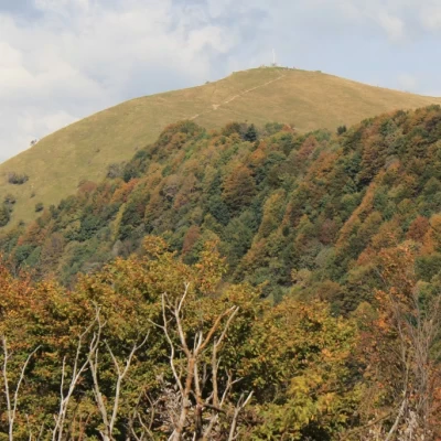
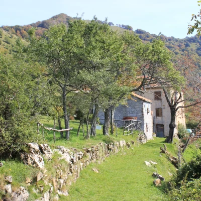
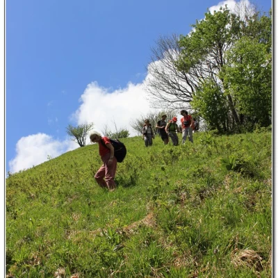
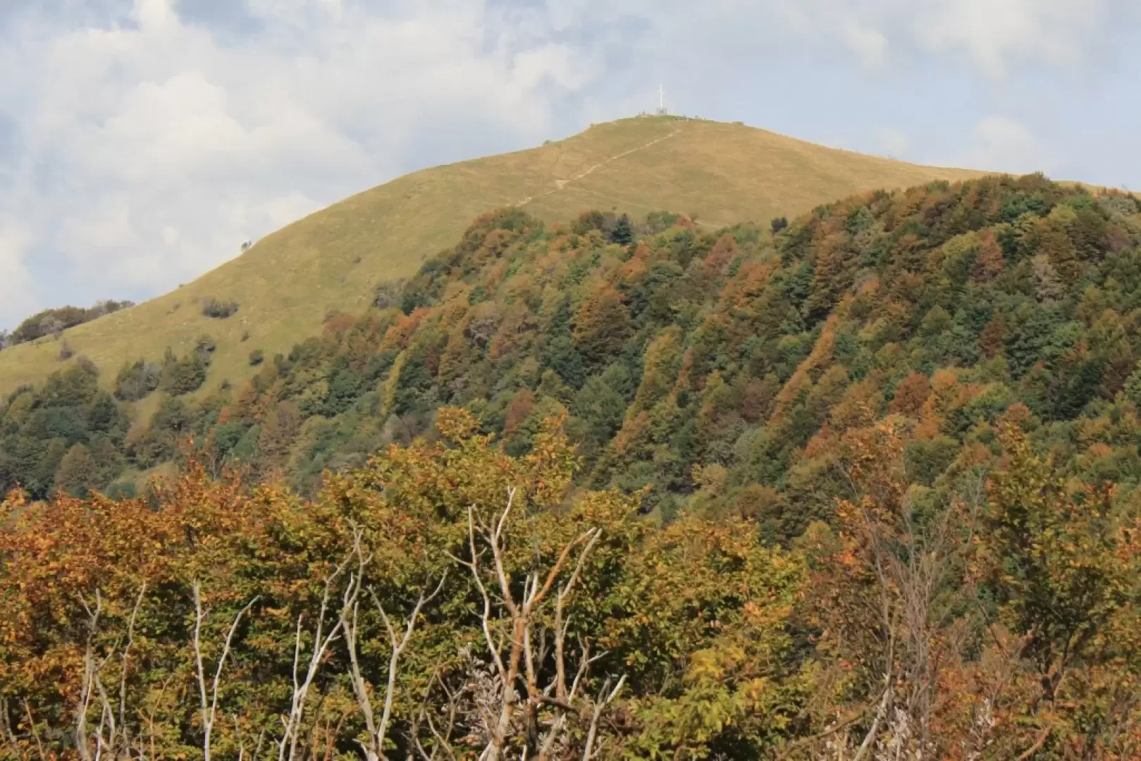
We rise up between the houses and leave the FIE path at a waterworks for an unmarked track. After a sharp right turn, you enter the forest. One ascends the scenic ridge again and thus reaches the Casoni di Lomà, from other sources referred to as Juan (1h15). From here, the path, first evident, tends to get lost and one must be very patient to continue on the right track. Between the two buildings, one gains height by reaching the crest (the forest only needs to be skimmed). The last stretch, before the summit, is decidedly problematic. As a reference, a fence can be glimpsed in the distance and, once reached, one climbs to the left. With a final effort, we conquer Monte Cremado (1513 m - 1h15). The view sweeps from Lake Brugneto to nearby Mount Antola. We descend past (carefully!) the barbed wire and over meadows down the steep grassy slope to the left until we find a hint of an increasingly wide path through the trees that joins the FIE track. In about 15' (tot. 2h45), you arrive at the hut with an excellent view and super Yum!
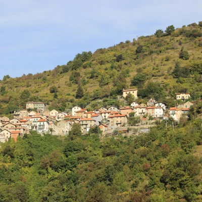
After a rewarding stop, you start off again by bending to the left until you find the FIE markings that lead to Chiappa (yellow cross). Descend into the forest, watching out for the junction at Colletto delle Cianazze (picnic area), where you turn sharply to the right. You ascend a few metres and then lose height sharply. At a fork, keep to the right, passing the ruins of 'Casa Libia'. The path back to the FIE is very comfortable and well marked and in the last stretch, you descend with your eyes on the roofs of Chiappa (2h).
All in all: Beautiful day, hot in the central hours difference in altitude 650 mt Dif. E (going without symbols therefore decidedly complicated after the Casoni for those who do NOT have specific knowledge of the area...) for about 4h45 Tot. cralgalliera.altervista.org/1505A1SullaCresta.jpg
http://www.cralgalliera.altervista.org/1505A2SullaCresta.jpg
http://www.cralgalliera.altervista.org/1505A3RipidaDiscesaCremado.jpg
http://www.cralgalliera.altervista.org/1505A6Ritorno.jpg
http://www.cralgalliera.altervista.org/ArrivandoAiCasoniLoma.jpg
http://www.cralgalliera.altervista.org/FioriDaiCasoniLoma.jpg
http://www.cralgalliera.altervista.org/FioriDaChiappa.jpg
Finally, I would like to remind you of the link to the Antola newsletter:
http://www.cralgalliera.altervista.org/nuova_pagina_24g.htm
NB: In case of an excursion, always check with FIE, Cai, the park authority or other institutions, pro loco, etc., that there have been no changes to the route, that there have been no changes that have increased the difficulties! No liability is accepted. This text is purely indicative and not exhaustive.
Info Hiking Section Cral Galliera: http://www.cralgalliera.altervista.org/esc.htm
trips 2015 at the link: http://www.cralgalliera.altervista.org/gite015.jpg
General information
Signposts:unmarked path on the outward and return journeys with FIE symbols
Type of route: circular
Recommended period of time: April, May, October
Sun exposure:south
Foto sopralluoghi e gita: http://www.cralgalliera.altervista.org/RifugioAntola015.pdf
http://www.cralgalliera.altervista.org/AnelloChiappaxRifugioAntola.pdf
Alcune immagini singole:
http://www.cralgalliera.altervista.org/1505A1SullaCresta.jpg
http://www.cralgalliera.altervista.org/1505A2SullaCresta.jpg
http://www.cralgalliera.altervista.org/1505A3RipidaDiscesaCremado.jpg
http://www.cralgalliera.altervista.org/1505A6Ritorno.jpg
http://www.cralgalliera.altervista.org/ArrivandoAiCasoniLoma.jpg
http://www.cralgalliera.altervista.org/FioriDaiCasoniLoma.jpg
http://www.cralgalliera.altervista.org/FioriDaChiappa.jpg
ricordo infine il link per il notiziario sull'Antola:
http://www.cralgalliera.altervista.org/nuova_pagina_24g.htm
NB: in caso di gita, verificare, sempre, con FIE, Cai, eventuale Ente parco o altre Istituzioni, pro loco, ecc., che non ci siano state variazioni che abbiano aumentato le difficoltà! Si declina ogni responsabilità. Il presente testo ha solo carattere puramente indicativo e non esaustivo.
Info Sezione Escursionismo Cral Galliera: http://www.cralgalliera.altervista.org/esc.htm
gite 2015 al link: http://www.cralgalliera.altervista.org/gite015.jpg
Segnavia: sentiero non marcato all’andata e ritorno con simboli FIE
Tipologia percorso: circolare
Periodo consigliato: aprile, maggio, ottobre
Esposizione al sole: sud
