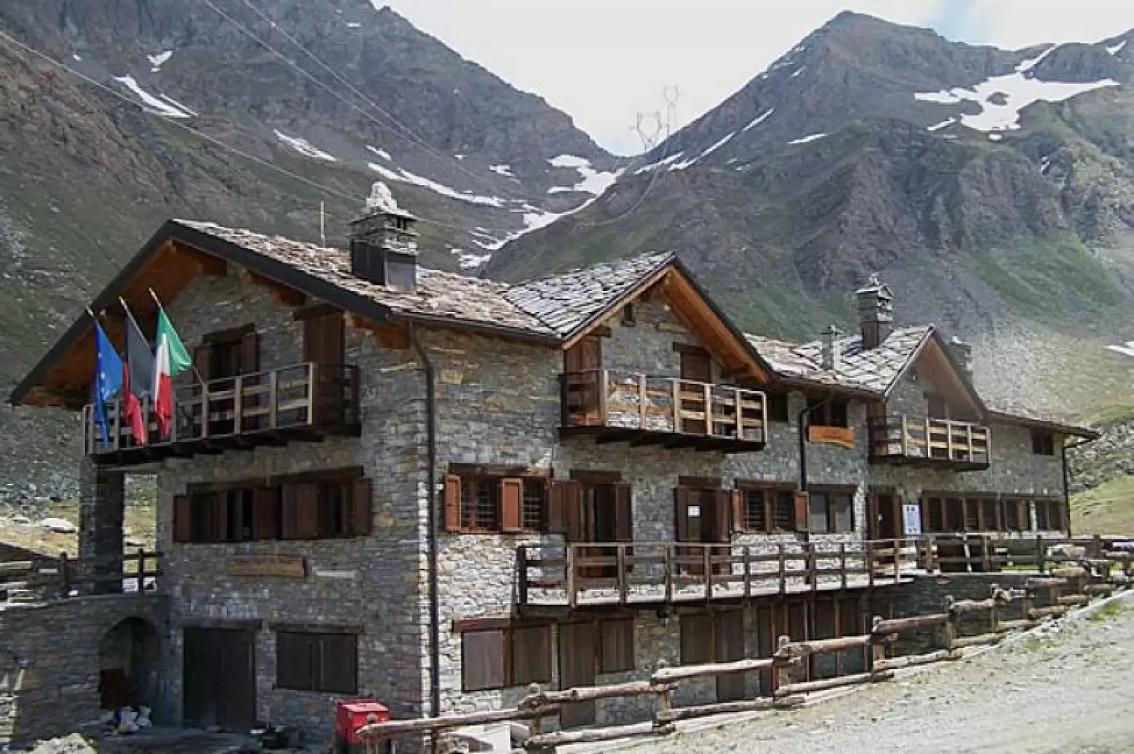
Berdzé Dream Refuge, from Lillaz

Access
At the motorway junction of Aosta West, turn right and take the regional road for the Cogne valley. Drive through the village of Aymavilles and, after 1.3 kilometres, take the second exit at the roundabout. Go up the regional road for 19 kilometres, passing the villages of Vieyes, Epinel and Crétaz, until you reach a roundabout: take the second exit, following the signs for Lillaz. Continue on the communal road for about one kilometre until you reach another roundabout; continue straight on for another 1.8 kilometres until you reach the large free car park 🅿️ in Lillaz.
[0h32'] - [24.0km]
How to get there with GMAPS
How to get there with Apple Maps
The directions provided have been carefully checked at the time of the route survey. However, it is highly recommended to check for any changes that may have occurred since then, especially regarding the route to the starting point. Before embarking on your journey, it is advisable to consult up-to-date navigation tools for accurate and up-to-date directions. We recommend the use of satellite navigation apps, such as Google Maps or Apple Maps, to ensure the most accurate and safe route.
Introduction
Long hike along the Urtier valley that connects Cogne with the Champorcher valley via the Fenêtre de Champorcher. The landscape is typical of the mid-mountain, passing from the beautiful forests in the lower part to the green pastures with beautiful mountain pastures in the upper part (the latter is unfortunately disturbed by the continuous presence of the high-tension pylons).
Description
From the bottom of the forecourt, head towards the marker posts to the left of the forecourt and take the small road that branches off from them and, after a few metres, you will reach a house from where a flight of stone steps rises, the starting point of the path. At first, the path rises fairly steeply into the forest and, having passed a dirt track, continues straight on, leaving the diversions to the waterfalls and the rock-climbing wall to the right; it reaches a little chapel on a panoramic promontory and, after a short climb, crosses a little pastureland to pass first just below the Etsélei pastureland and then in front of the Goilles desot pastureland (1834 m). Still on the level, continue along the dirt track to reach a signpost on the right for Bardoney, which takes us down a few metres and across the stream on a little bridge. Continue along a well-marked path, climbing up into the wood with comfortable hairpin bends until you reach a small grassy plateau where the signs indicate to continue on the left, leaving the path for the Bardoney valley on the right. Cross the stream on a small wooden bridge and begin to climb up to skirt a promontory, meeting along the way the Teppe Longues park ranger's hut (2156 m). At the end of the short ascent, the upper part of the Urtier valley appears in front of us, dominated at the bottom by the Punta Tersiva, while behind us we can admire the Grivola group. The route, with a few ups and downs, winds its way halfway up the slope with slight inclines among the last conifers and low vegetation for the entire length of the valley, passing above the Broillot mountain pasture and, after crossing two streams on as many wooden bridges, moving towards the centre of the valley, approaching the farm track. Having reached the path, and now in sight of the hut, we follow it for about ten minutes and thus reach our destination.